Hud Hey
Settlement in Lancashire Rossendale
England
Hud Hey
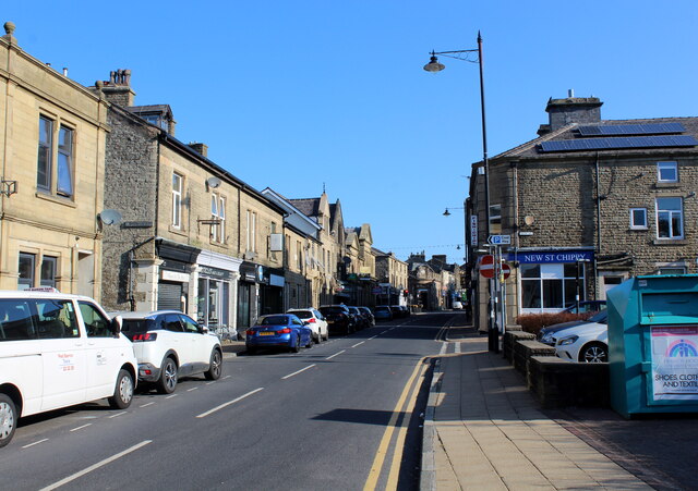
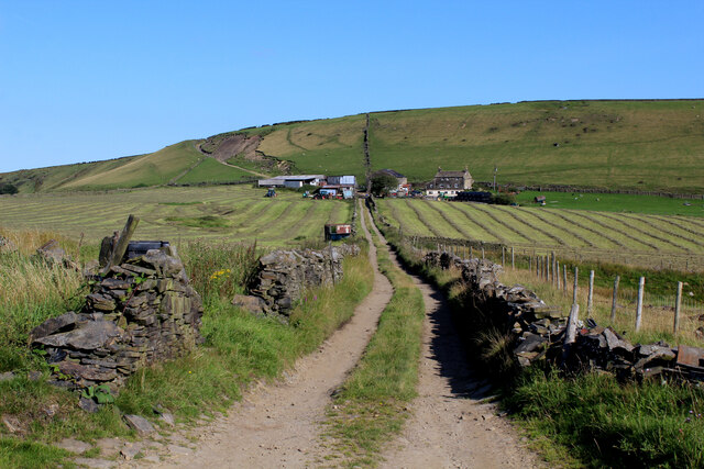
Hud Hey is a small village located in the county of Lancashire, England. Situated in the picturesque Ribble Valley, it is nestled between the larger towns of Clitheroe and Blackburn. This rural community boasts a population of approximately 500 residents.
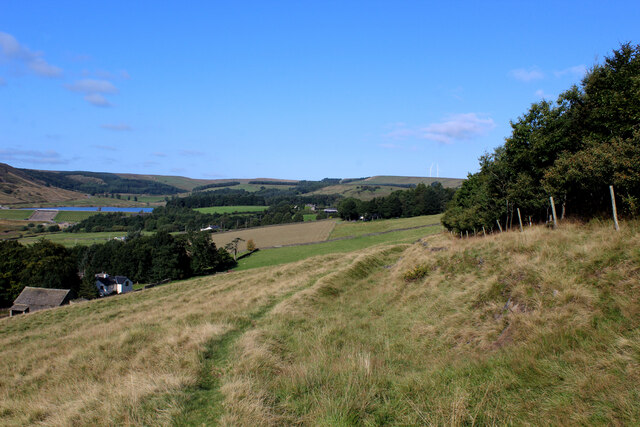
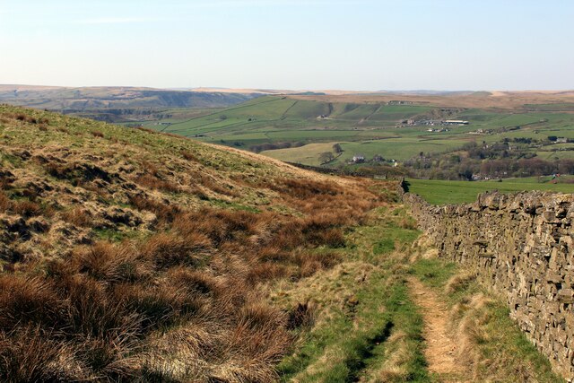
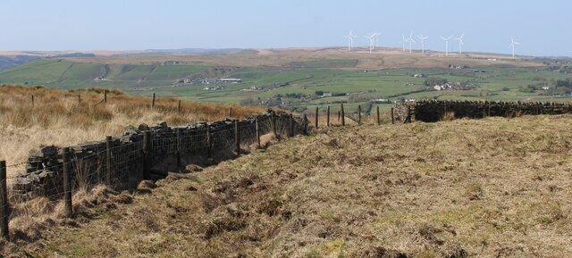
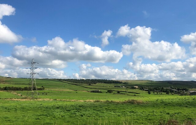
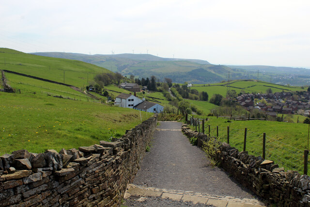
The village of Hud Hey is known for its charming countryside setting, with rolling hills and expansive green fields that surround the area. The Ribble Valley is renowned for its natural beauty and offers breathtaking views, making it a haven for nature enthusiasts and outdoor adventurers.
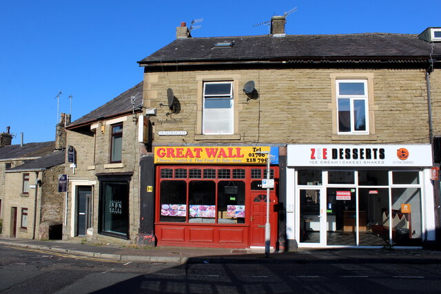
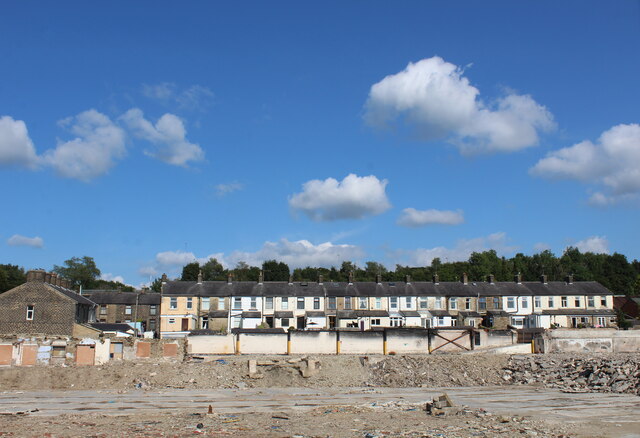
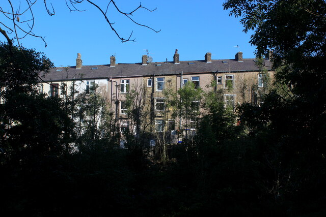
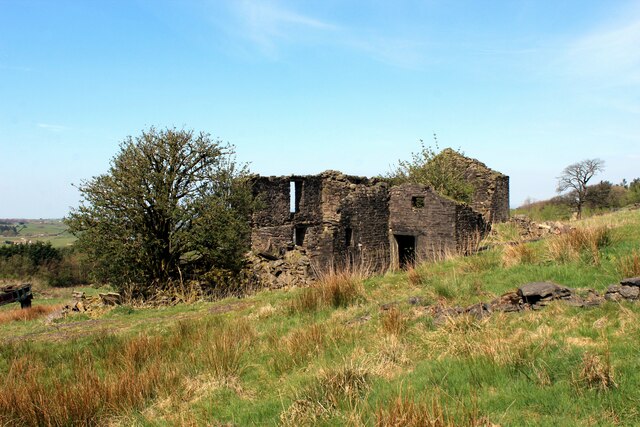
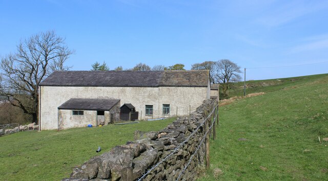
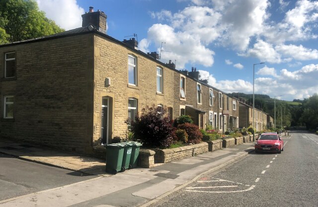
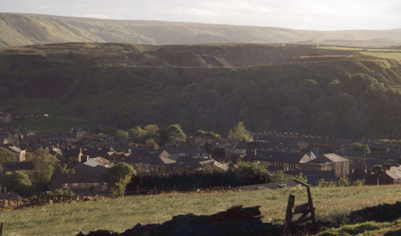
The village itself is characterized by its quaint and traditional architecture, with a mix of historic stone buildings and modern houses. The local community is tight-knit and friendly, making it an inviting place to live or visit.
Hud Hey offers a range of amenities for its residents, including a primary school, a local pub, and a small convenience store. Additionally, the nearby town of Clitheroe provides further options for shopping, dining, and entertainment.
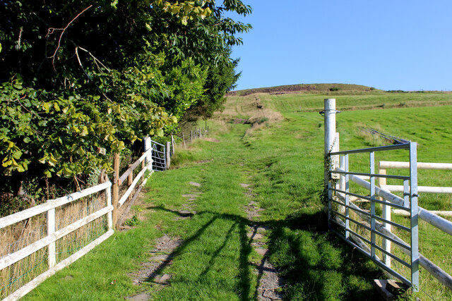
The surrounding area of Hud Hey provides ample opportunities for outdoor activities such as hiking, cycling, and fishing. The nearby Forest of Bowland, an Area of Outstanding Natural Beauty, offers miles of trails and stunning landscapes to explore.
Overall, Hud Hey is a peaceful and idyllic village in Lancashire, offering residents and visitors a tranquil escape from the hustle and bustle of city life.
If you have any feedback on the listing, please let us know in the comments section below.
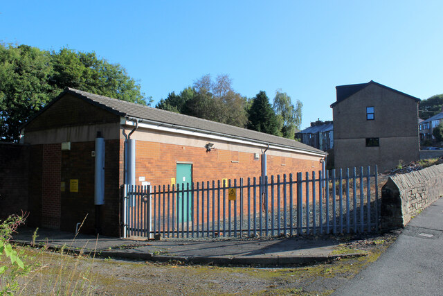
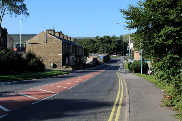
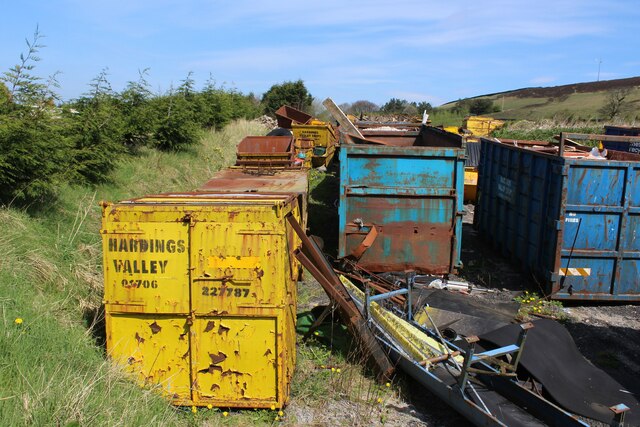
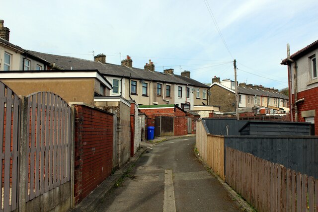
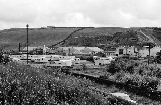
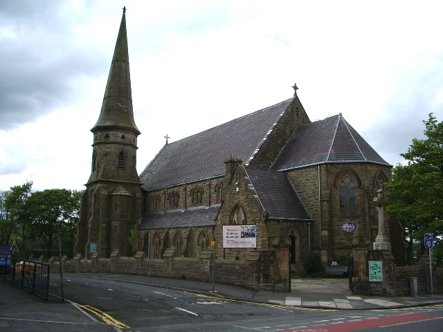
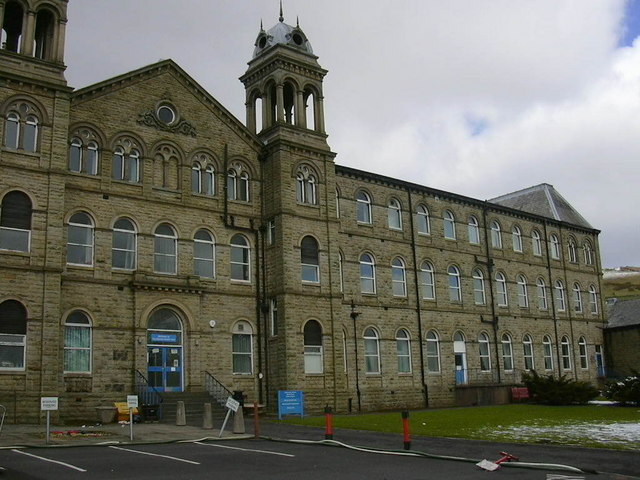
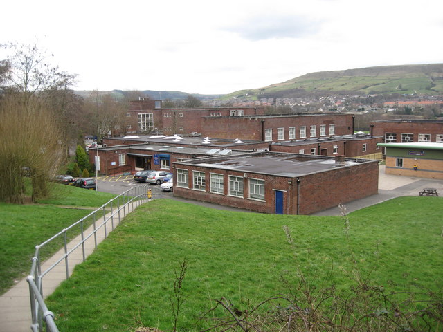
Hud Hey Images
Images are sourced within 2km of 53.716363/-2.331053 or Grid Reference SD7824. Thanks to Geograph Open Source API. All images are credited.
Hud Hey is located at Grid Ref: SD7824 (Lat: 53.716363, Lng: -2.331053)
Administrative County: Lancashire
District: Rossendale
Police Authority: Lancashire
What 3 Words
///cooks.originate.pylon. Near Haslingden, Lancashire
Related Wikis

Acre, Lancashire
Acre is a Victorian village situated along the A56 Blackburn Road between the village of Rising Bridge and the town of Haslingden in Rossendale Lancashire...

Haslingden railway station
Haslingden railway station served the town of Haslingden, Rossendale, Lancashire. The station was built by the East Lancashire Railway (ELR) on their Bury...
Haslingden
Haslingden is a town in Rossendale, Lancashire, England. It is 16 miles (26 km) north of Manchester. The name means 'valley of the hazels' or 'valley...
Baxenden railway station
Baxenden railway station served the villages of Baxenden in Hyndburn and Rising Bridge in Rossendale. It was situated just inside the old boundary of Haslingden...
Baxenden
Baxenden is a village and ward in the Borough of Hyndburn in Lancashire, North-West England. The ward population taken at the 2011 census was 4,042. Baxenden...

River Hyndburn
The River Hyndburn is a minor river in Lancashire, England. Beginning as Woodnook Water on the slopes of Goodshaw Hill, it passes through Stone Fold, Rising...
Rossendale General Hospital
Rossendale General Hospital was an acute general hospital at Rawtenstall in Lancashire. It was managed by the East Lancashire Hospitals NHS Trust. ��2...
All Saints' Catholic High School, Rawtenstall
All Saints' Catholic High School is a coeducational Roman Catholic secondary school located in Rawtenstall, Lancashire, England. == History == The school...
Nearby Amenities
Located within 500m of 53.716363,-2.331053Have you been to Hud Hey?
Leave your review of Hud Hey below (or comments, questions and feedback).