Achingills

Settlement in Caithness

Scotland

Achingills

Thurso Branch Train A train on the Thurso branch,farm machinery and sheep. The A9 road is between the hedgerows above the train.
Thurso Branch Train Credit: John MacKenzie

Achingills is a small village located in the northernmost county of Scotland, Caithness. Situated on the east coast of the country, Achingills is nestled between the rolling hills and the stunning North Sea. The village is part of the larger parish of Thurso, which is known for its rich history and scenic landscapes.

With a population of just over 300 residents, Achingills retains a close-knit community feel. The village is predominantly residential, consisting of charming cottages and houses surrounded by lush green fields and breathtaking views. Its remote location offers a peaceful and tranquil atmosphere, attracting those seeking a serene countryside lifestyle.

Although small, Achingills offers some essential amenities for its residents. These include a local convenience store, a post office, and a primary school, providing essential services within the village itself. Additionally, the nearby town of Thurso, just a short drive away, offers a wider range of facilities such as supermarkets, healthcare centers, and secondary schools.

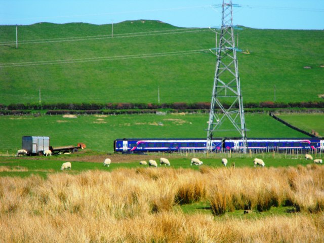
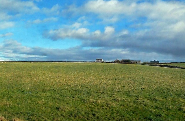
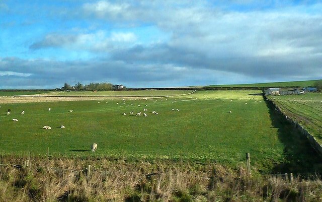
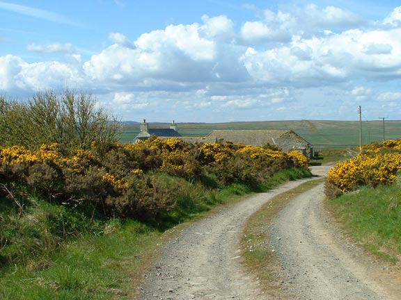
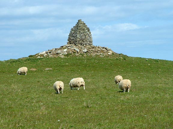
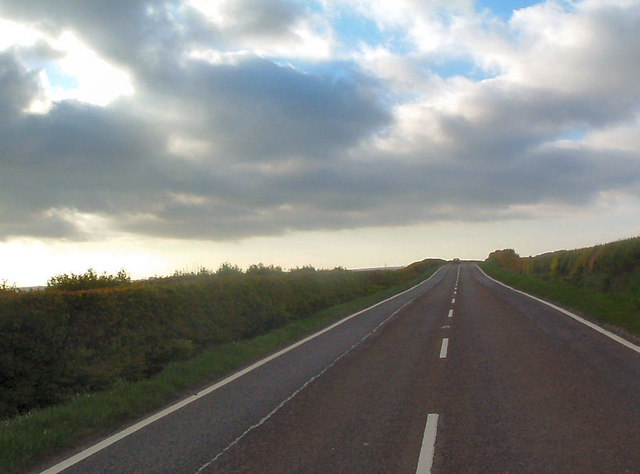
Nature enthusiasts are drawn to Achingills for its natural beauty. The surrounding area is a haven for outdoor activities, including hiking, fishing, and birdwatching. The coastline presents an opportunity for scenic walks along the sandy beaches, while the nearby hills and moors provide ample opportunities for exploration.

Overall, Achingills embodies the charm of a traditional Scottish village, with its picturesque setting, tight-knit community, and access to stunning natural landscapes. It is a place where residents and visitors can appreciate the tranquility of rural life while being surrounded by the beauty of Caithness.

If you have any feedback on the listing, please let us know in the comments section below.

Achingills Images

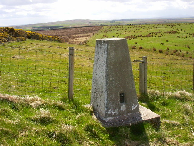
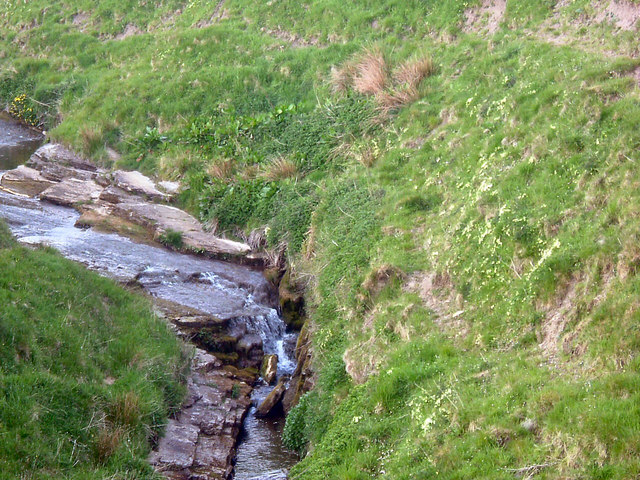
Images are sourced within 2km of 58.544237/-3.4566337 or Grid Reference ND1562. Thanks to Geograph Open Source API. All images are credited.

Thurso Branch Train A train on the Thurso branch,farm machinery and sheep. The A9 road is between the hedgerows above the train.
Thurso Branch Train
A train on the Thurso branch,farm machinery and sheep. The A9 road is between the hedgerows above the train.
Towards Carsgoe Carsgoe Farm, viewed from a train on the way to Wick on a bright late-October day.
Towards Carsgoe
Carsgoe Farm, viewed from a train on the way to Wick on a bright late-October day.
Sordale Farmland Viewed from a train heading for Wick on a bright late-October day.
Sordale Farmland
Viewed from a train heading for Wick on a bright late-October day.
Farmland Near Roadside A quick look from a train on its way to Wick on a bright late-October day.
Farmland Near Roadside
A quick look from a train on its way to Wick on a bright late-October day.
Snow at South Weydale Private road leading to a couple of houses.
Snow at South Weydale
Private road leading to a couple of houses.
A Sunset and a Rainbow, Weydale Looking through sheds to Cairnfield houses.
A Sunset and a Rainbow, Weydale
Looking through sheds to Cairnfield houses.
South Weydale Traditional Croft buildings and gorse hedges.
South Weydale
Traditional Croft buildings and gorse hedges.
Cairnfield Not the original cairn, but built up by the farmer to stop the sheep from totally ruining it.
Cairnfield
Not the original cairn, but built up by the farmer to stop the sheep from totally ruining it.
Right of Way - Old Country Road Looking down the track to South Weydale
Right of Way - Old Country Road
Looking down the track to South Weydale
Ruined Croft House The old road runs near this old croft house which now provides shelter for the sheep.
Ruined Croft House
The old road runs near this old croft house which now provides shelter for the sheep.
Stone shelves The old croft still has the old stone shelves intact.
Stone shelves
The old croft still has the old stone shelves intact.
View from old croft window This has probably been built with stones from the nearby Weydale quarries.
View from old croft window
This has probably been built with stones from the nearby Weydale quarries.
The Old Weydale Quarry No longer used, this tends to be a bit of a dumping ground for old cars, fridges and freezers.  However nature persists and it is very pretty.
The Old Weydale Quarry
No longer used, this tends to be a bit of a dumping ground for old cars, fridges and freezers. However nature persists and it is very pretty.
Sordale Hill trig Looking S from position
Sordale Hill trig
Looking S from position
North side of Sordale Hill Looking NNE from position
North side of Sordale Hill
Looking NNE from position
Achingills Marl Moss A wet basin that might once have held a loch. Marl used to be dug here for use as agricultural fertiliser.
Achingills Marl Moss
A wet basin that might once have held a loch. Marl used to be dug here for use as agricultural fertiliser.
Burn with primroses Adjacent to the A9 southbound
Burn with primroses
Adjacent to the A9 southbound
A9 near Bulliemore Looking northwest
A9 near Bulliemore
Looking northwest
Show me another place!

Achingills is located at Grid Ref: ND1562 (Lat: 58.544237, Lng: -3.4566337)

Unitary Authority: Highland

Police Authority: Highlands and Islands

What 3 Words

///business.probable.picnic. Near Halkirk, Highland

Nearby Locations

Achingills

Related Wikis

Sordale

Sordale is a small linear village, located 1.5 miles (2.4 km) northeast in Halkirk, in Caithness, Scottish Highlands and is in the Scottish council area...

Achingills

Achingills (Gaelic: ) is a small hamlet in Halkirk, Caithness within Highland region and is in the Scottish council area of the Highland. Scotland. Achingills...

Roadside, Caithness

Roadside is a small village, located at the junction of the A9 trunk road and the B874, 1 mile south of Sordale in Caithness, Scottish Highlands and is...

Hoy railway station

Hoy was a railway station located northeast of Halkirk, Highland. The station opened on 28 July 1874 and closed to regular passenger traffic on 29 November...

Shalmstry

Shalmstry is a small settlement in Caithness, Scotland. It is just under 3 miles (5 kilometres) south of Thurso. It is located off the A9 and is remote...

Olrig

Olrig is a parish in Caithness, Scotland. The main settlement in the parish is Castletown. Prior to the 19th century, the parish was sub-divided into...

Georgemas

Georgemas is an area in the county of Caithness, in the Highland area of Scotland, about 8 kilometres (5.0 mi) south of the town of Thurso and about two...

Braal Castle

Braal Castle is located by the River Thurso north of the village of Halkirk, in Caithness, northern Scotland. The ruined castle, which dates back to the...

Nearby Amenities

Located within 500m of 58.544237,-3.4566337
Power: pole
Lat/Long: 58.5461294/-3.4488302
Power: pole
Lat/Long: 58.5460372/-3.4502535
Power: pole
Lat/Long: 58.5456601/-3.4517194
Power: pole
Lat/Long: 58.5453306/-3.4529681
Power: pole
Lat/Long: 58.5449936/-3.4541579
Power: pole
Lat/Long: 58.5446482/-3.4553782
Power: pole
Lat/Long: 58.5443272/-3.456566
Power: pole
Lat/Long: 58.5439267/-3.4580279
Power: pole
Lat/Long: 58.5435262/-3.4592867
Power: pole
Lat/Long: 58.5431447/-3.4605171
Power: pole
Lat/Long: 58.5428502/-3.4614876
Power: pole
Lat/Long: 58.5424687/-3.4626754
Power: pole
Lat/Long: 58.5421138/-3.4637596
Power: pole
Lat/Long: 58.5467169/-3.4617719
Power: pole
Lat/Long: 58.5464965/-3.4626165
Power: pole
Lat/Long: 58.5462783/-3.4635018
Power: pole
Lat/Long: 58.5460685/-3.4643383
The data included in this document is from www.openstreetmap.org. The data is made available under ODbL.

Have you been to Achingills?

Leave your review of Achingills below (or comments, questions and feedback).