Scotstown Craig

Island in Aberdeenshire

Scotland

Scotstown Craig

Eight minutes to low tide I got here 30 minutes before the expected low, and had to wait in a biting cold wind sweeping up the coast. Gradually the sea went out, but not without the occasional huge wave running up to 20 metres inland, making my life difficult
Eight minutes to low tide Credit: Peter Aikman

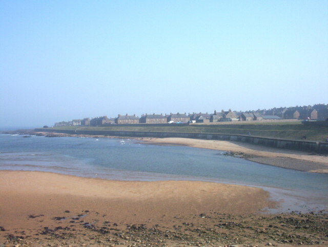
Scotstown Craig is a small island located off the coast of Aberdeenshire in Scotland. Situated in the North Sea, it lies approximately 3 miles east of Peterhead. The island is part of the Scotstown Head Nature Reserve, which encompasses the surrounding coastal area.

Scotstown Craig is a rocky outcrop, measuring around 1.5 acres in size. It is known for its diverse bird population, with many species nesting on the island's cliffs and ledges. Visitors to the reserve can observe colonies of kittiwakes, guillemots, razorbills, and fulmars, among others.

Access to Scotstown Craig is strictly regulated to minimize disturbance to the wildlife. Only licensed boat operators are permitted to transport visitors to the island during specific times of the year, usually between April and August when the birds are nesting. Visitors are advised to check for availability and book in advance.

The island itself does not have any permanent structures or facilities. It is primarily visited by birdwatchers, nature enthusiasts, and researchers interested in studying the avian population and marine ecosystem. The rocky terrain offers limited opportunities for exploration, but the breathtaking views of the North Sea and the chance to observe rare bird species make Scotstown Craig a unique and valuable natural asset.

In conclusion, Scotstown Craig is a small island off the coast of Aberdeenshire, known for its diverse bird population and its role as part of the Scotstown Head Nature Reserve. Access is restricted, and visitors must book through licensed boat operators. The island offers stunning views and the chance to observe various bird species in their natural habitat.

If you have any feedback on the listing, please let us know in the comments section below.

Scotstown Craig Images

Images are sourced within 2km of 57.557142/-1.8019038 or Grid Reference NK1151. Thanks to Geograph Open Source API. All images are credited.

Eight minutes to low tide I got here 30 minutes before the expected low, and had to wait in a biting cold wind sweeping up the coast. Gradually the sea went out, but not without the occasional huge wave running up to 20 metres inland, making my life difficult
Eight minutes to low tide
I got here 30 minutes before the expected low, and had to wait in a biting cold wind sweeping up the coast. Gradually the sea went out, but not without the occasional huge wave running up to 20 metres inland, making my life difficult
Seven minutes to low tide This one has my footprint to prove that I was there !
Seven minutes to low tide
This one has my footprint to prove that I was there !
Still seven minutes till low tide Shall I be able to get further out ?
Still seven minutes till low tide
Shall I be able to get further out ?
Six minutes till low tide That's good enough for me - I don't think much more "dry" land is going to appear, and I'm off to try and catch the low tide at square NK 12 51
Six minutes till low tide
That's good enough for me - I don't think much more "dry" land is going to appear, and I'm off to try and catch the low tide at square NK 12 51
Sea spray on the rocks at Scotstown Head This was a complete mess-up on my part. Having hared down about 1/2 mile from <a href="https://www.geograph.org.uk/gridref/NK1153">NK1153</a> while the tide was still low, I misread my GPS on the rocks, and failed to get myself into square <a href="https://www.geograph.org.uk/gridref/NK1251">NK1251</a>. Only to read my error when I got home. So this is a supplemental. Do you think that I could get about 15 metres further east ? I'll have another try another day.
Sea spray on the rocks at Scotstown Head
This was a complete mess-up on my part. Having hared down about 1/2 mile from NK1153 while the tide was still low, I misread my GPS on the rocks, and failed to get myself into square NK1251. Only to read my error when I got home. So this is a supplemental. Do you think that I could get about 15 metres further east ? I'll have another try another day.
Heavy seas at Scotstown Head Another failed attempt to get this rock as a Geograph. This time justified by the heavy sea, and although I was there around low tide, the waves were just too big to risk the last 10 metres east that I needed to go.
Heavy seas at Scotstown Head
Another failed attempt to get this rock as a Geograph. This time justified by the heavy sea, and although I was there around low tide, the waves were just too big to risk the last 10 metres east that I needed to go.
Colliding waves at Scotstown Head I only needed to go 10 metres east to claim a Geograph, but didn't risk it. Never mind, I'll try again.
Colliding waves at Scotstown Head
I only needed to go 10 metres east to claim a Geograph, but didn't risk it. Never mind, I'll try again.
More sea-spray at Scotstown Head
Rock, sea and seals  at Scotstown Head A third visit at low tide on a windless day gives me the chance of getting to the end of Scotstown Craig rocks at Scotstown Head. The seals were not at all put out by my appearance. The nearest one remained the boldest during my half hour of wandering about and sitting in the sun.
Rock, sea and seals at Scotstown Head
A third visit at low tide on a windless day gives me the chance of getting to the end of Scotstown Craig rocks at Scotstown Head. The seals were not at all put out by my appearance. The nearest one remained the boldest during my half hour of wandering about and sitting in the sun.
Scotstown Craig rocks at Scotstown Head Looking east of south. Peterhead is in the right-hand distance.
Scotstown Craig rocks at Scotstown Head
Looking east of south. Peterhead is in the right-hand distance.
Cormorants or shags at Scotstown Head About to fly to the sea as I approached
Cormorants or shags at Scotstown Head
About to fly to the sea as I approached
The beach at Scotstown Looking towards Rattray Head.
The beach at Scotstown
Looking towards Rattray Head.
Disused track at Scotstown The Explorer map (sheet 427) implies that this is the line of a disused canal, although this does look rather unlikely. The St Fergus Gas Terminal is in the distance.
Disused track at Scotstown
The Explorer map (sheet 427) implies that this is the line of a disused canal, although this does look rather unlikely. The St Fergus Gas Terminal is in the distance.
Approaching St Fergus from the east
Puddles on Scotstown beach
Scotston - awaiting redevelopment
Bales, Scotstown, Aberdeenshire Looking towards the St Fergus Gas Terminal.

Scotstown is spelled as Scotston on some maps.  I've used the spelling which appears on the current (at the time of uploading) OS map and was recorded in the OS Name Book and thus appears on the first edition map.  The OS have recently revised the spelling as on the 2017 edition of the map it has the other version.
Bales, Scotstown, Aberdeenshire
Looking towards the St Fergus Gas Terminal. Scotstown is spelled as Scotston on some maps. I've used the spelling which appears on the current (at the time of uploading) OS map and was recorded in the OS Name Book and thus appears on the first edition map. The OS have recently revised the spelling as on the 2017 edition of the map it has the other version.
Washed up kelp on the beach at Scotstown, Aberdeenshire Looking towards the St Fergus Gas Terminal.

Scotstown is spelled as Scotston on some maps. I've used the spelling which appears on the current (at the time of uploading) OS map and was recorded in the OS Name Book and thus appears on the first edition map. The OS have recently revised the spelling as on the 2017 edition of the map it has the other version.
Washed up kelp on the beach at Scotstown, Aberdeenshire
Looking towards the St Fergus Gas Terminal. Scotstown is spelled as Scotston on some maps. I've used the spelling which appears on the current (at the time of uploading) OS map and was recorded in the OS Name Book and thus appears on the first edition map. The OS have recently revised the spelling as on the 2017 edition of the map it has the other version.
Show me another place!

Scotstown Craig is located at Grid Ref: NK1151 (Lat: 57.557142, Lng: -1.8019038)

Unitary Authority: Aberdeenshire

Police Authority: North East

What 3 Words

///divided.curls.handicaps. Near Peterhead, Aberdeenshire

Related Wikis

St Fergus

St Fergus is a village in the Buchan area of Aberdeenshire, Scotland. St Fergus lies 1 mile (1.6 km) from the North Sea coast and 3 miles (5 km) north...

Kirktown of St Fergus

Kirktown of St Fergus, often just called Kirktown, is an area of the village of St Fergus in Buchan, Aberdeenshire, Scotland. It should not be confused...
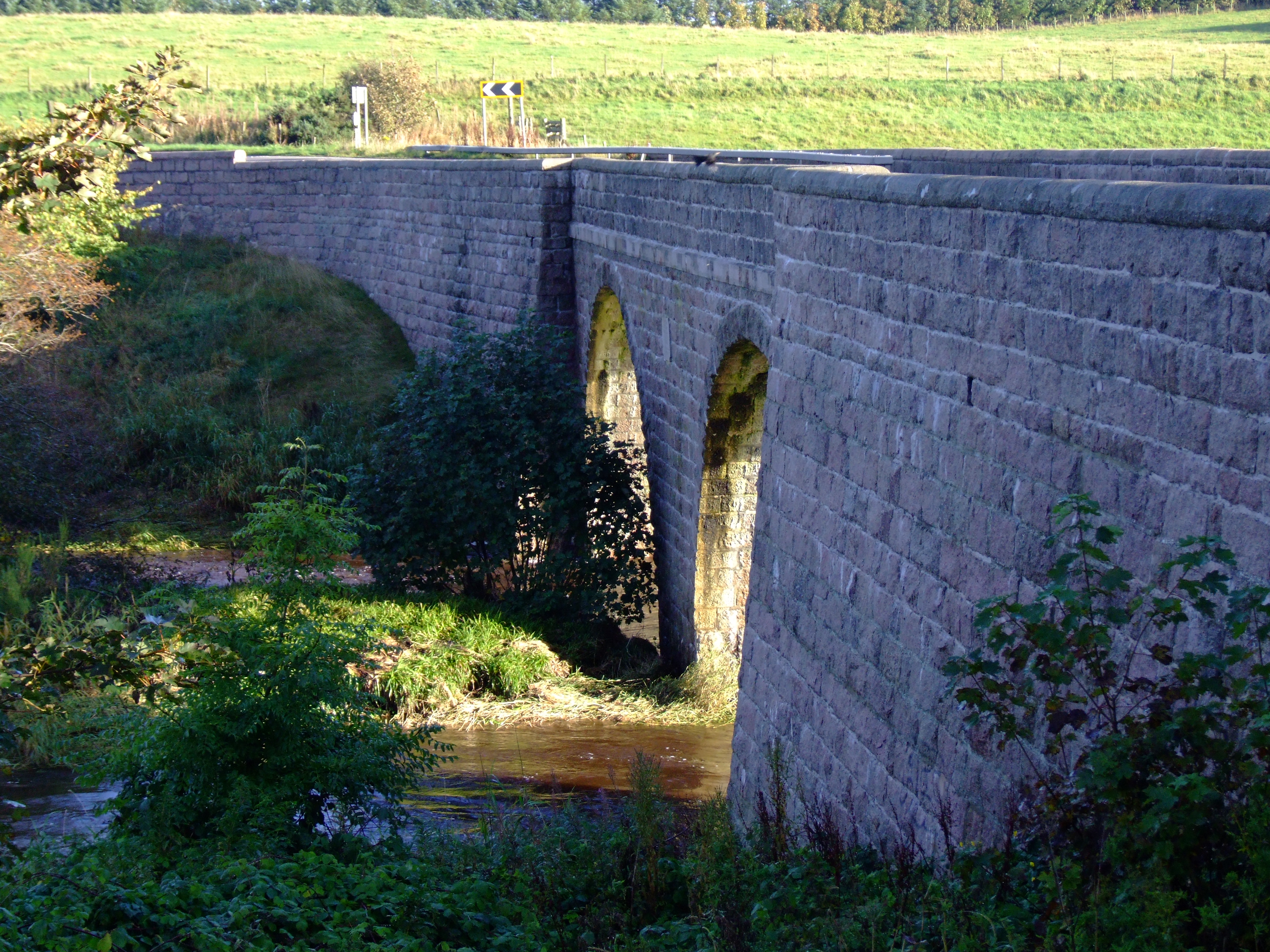
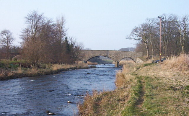
Balmoor Bridge

Balmoor Bridge is a toll-free, three-span bridge in Aberdeenshire, Scotland. A Category B listed structure, it spans the River Ugie, carrying the two lanes...

Ravenscraig Castle, Aberdeenshire

Ravenscraig Castle, also known as the Craig of Inverugie, is a ruined 15th-century L-shaped tower-house north-west of Peterhead, Aberdeenshire, Scotland...

Inverugie

Inverugie (Scottish Gaelic: Inbhir Ùigidh) is a small village in Aberdeenshire, Scotland, to the northwest of Peterhead. == Sources == Inverugie in the...
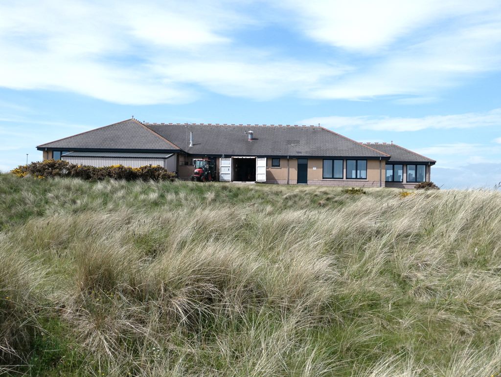
Peterhead Golf Club

Peterhead Golf Club, in Peterhead, Aberdeenshire, Scotland, was founded in 1841, making it, by its own claim, the 18th-oldest golf club in the world. Located...
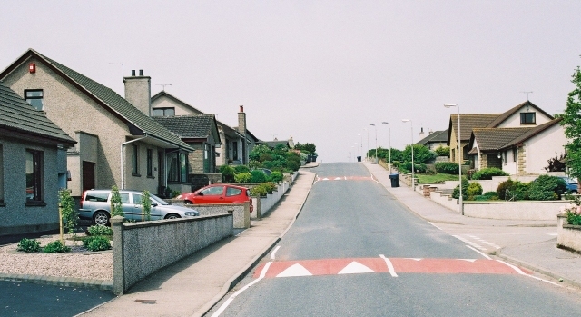
Buchanhaven

Buchanhaven is a village in Aberdeenshire, Scotland, dating to around 1739. It is one mile north of Peterhead town centre, and near to the mouth of the...

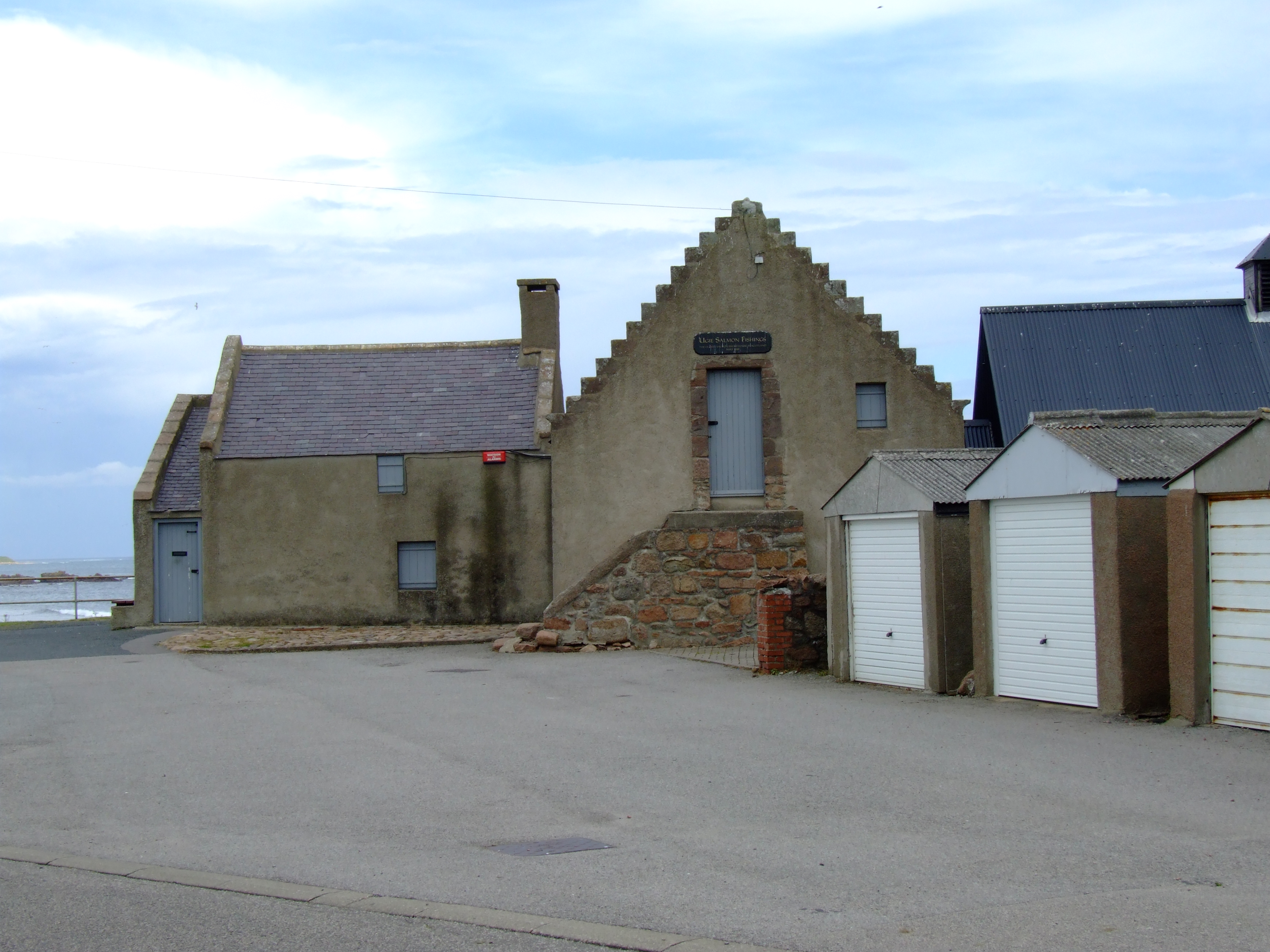
Fish-House, Peterhead

The Fish-House (also known as the Salmon House) is a Category B listed building on Golf Road in the Buchanhaven area of Peterhead, Aberdeenshire, Scotland...

Nearby Amenities

Located within 500m of 57.557142,-1.8019038
Source: OS7
Lat/Long: 57.5570103/-1.8054315
Source: OS7
Lat/Long: 57.5566249/-1.8045001
Source: OS7
Lat/Long: 57.5575003/-1.8064285
Source: OS7
Lat/Long: 57.5564543/-1.8041395
Source: OS7
Lat/Long: 57.5559785/-1.8042056
Source: OS7
Lat/Long: 57.5555327/-1.804586
Source: OS7
Lat/Long: 57.5548567/-1.8053381
Source: OS7
Lat/Long: 57.5540414/-1.8059233
Source: OS7
Lat/Long: 57.5533198/-1.8060301
Scotstown Head
Natural: cape
Lat/Long: 57.5573347/-1.8012938
The data included in this document is from www.openstreetmap.org. The data is made available under ODbL.

Have you been to Scotstown Craig?

Leave your review of Scotstown Craig below (or comments, questions and feedback).