Black Stone
Island in Aberdeenshire
Scotland
Black Stone
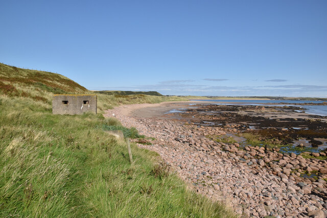
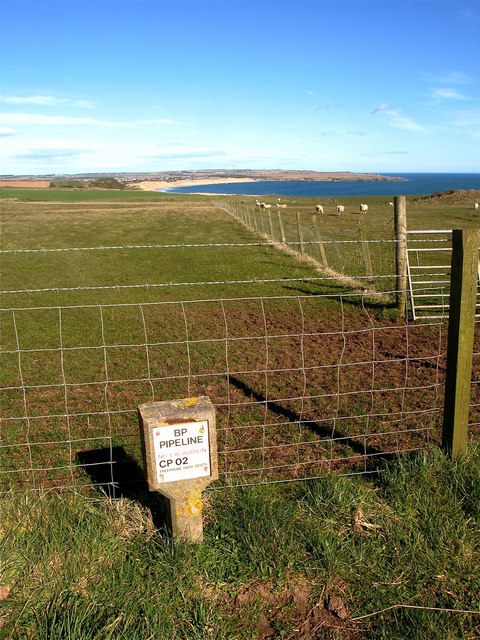
Black Stone is a small island located off the coast of Aberdeenshire, Scotland. It is situated in the North Sea, approximately 1 mile from the mainland. The island is known for its distinctive black rock formations, which give it its name.
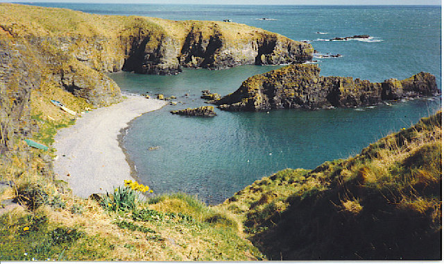
Black Stone covers an area of about 2.5 acres and has a rugged, rocky terrain. It is uninhabited and lacks any permanent structures or vegetation. The island is mostly composed of basalt and is surrounded by steep cliffs, making it inaccessible to visitors without proper equipment.
Despite its small size, Black Stone has a rich history. It is believed to have been used as a lookout point during ancient times, with evidence of human activity dating back thousands of years. The island also served as a navigational landmark for sailors due to its prominent position.
Today, Black Stone is primarily visited by birdwatching enthusiasts and nature lovers, as it is home to a variety of seabird colonies. Species such as puffins, guillemots, and razorbills can be observed nesting on the cliffs during the breeding season.
Due to its remote location and lack of amenities, access to Black Stone is limited and requires a boat or kayak. It is important for visitors to adhere to conservation guidelines to protect the natural habitat and wildlife on the island.
If you have any feedback on the listing, please let us know in the comments section below.
Black Stone Images
Images are sourced within 2km of 57.398232/-1.8546583 or Grid Reference NK0834. Thanks to Geograph Open Source API. All images are credited.


Black Stone is located at Grid Ref: NK0834 (Lat: 57.398232, Lng: -1.8546583)
Unitary Authority: Aberdeenshire
Police Authority: North East
What 3 Words
///skills.colleague.crispier. Near Port Erroll, Aberdeenshire
Nearby Locations
Related Wikis
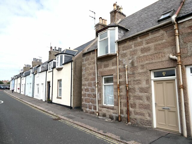
Whinnyfold
Whinnyfold or Whinneyfold is a small coastal village at the southern end of the Bay of Cruden in Aberdeenshire, Scotland. Whinnyfold (locally pronounced...

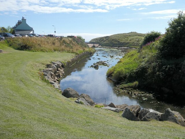
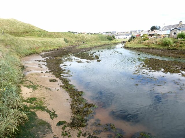
Water of Cruden
The Water of Cruden is a short broadly east-flowing river in Buchan in northeast Scotland. Its headwaters streams rise in the countryside north of Ellon...

Cruden Bay Hotel
Cruden Bay Hotel was a hotel in Cruden Bay, Aberdeenshire, Scotland. Following the success of the Palace Hotel in Aberdeen, it was built between 1897 and...

Cruden Bay Hotel Tramway
The Cruden Bay Hotel Tramway operated an electric tramway service between the Cruden Bay Hotel and Cruden Bay railway station between 1899 and 1940....

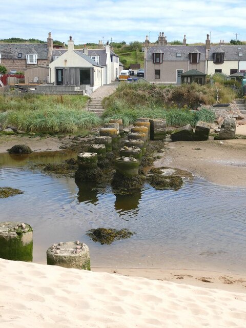
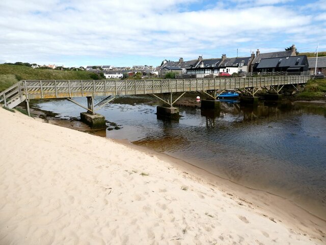
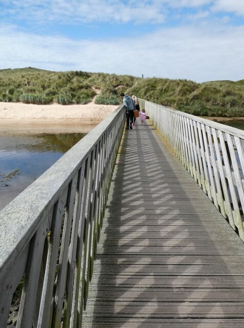
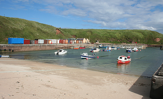
Cruden Bay
Cruden Bay is a small village in Scotland, on the north coast of the Bay of Cruden in Aberdeenshire, 26 miles (42 km) north of Aberdeen. Just west of Slains...

New Slains Castle
Slains Castle, also known as New Slains Castle to distinguish it from the nearby Old Slains Castle, is a ruined castle in Aberdeenshire, Scotland. It overlooks...

Cruden Bay railway station
Cruden Bay railway station was a railway station serving Cruden Bay, Aberdeenshire, Scotland. == History == The station opened on 2 August 1897.The station...

St Olaf's Church (Cruden)
St Olaf's Church (also known as Old Parish Church) is a Category B listed building in Cruden, Aberdeenshire, Scotland, dating to 1776. It is of Church...
Nearby Amenities
Located within 500m of 57.398232,-1.8546583Have you been to Black Stone?
Leave your review of Black Stone below (or comments, questions and feedback).