Maenaddwyn

Settlement in Anglesey

Wales

Maenaddwyn

Trig Point on Mynydd Bodafon The trig point has useful view information fixed to it.
Trig Point on Mynydd Bodafon Credit: David Bremner

The requested URL returned error: 429 Too Many Requests

If you have any feedback on the listing, please let us know in the comments section below.
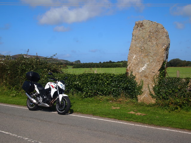
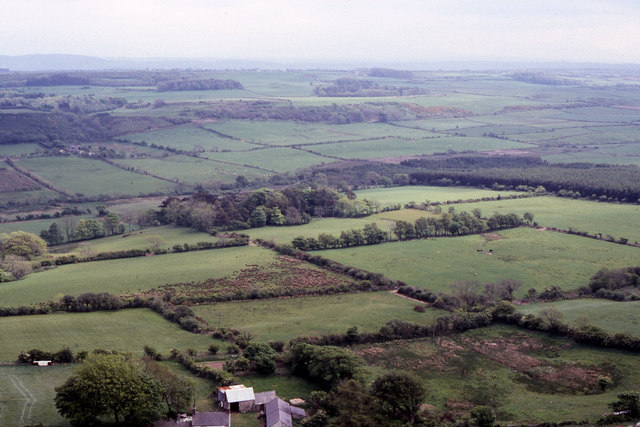
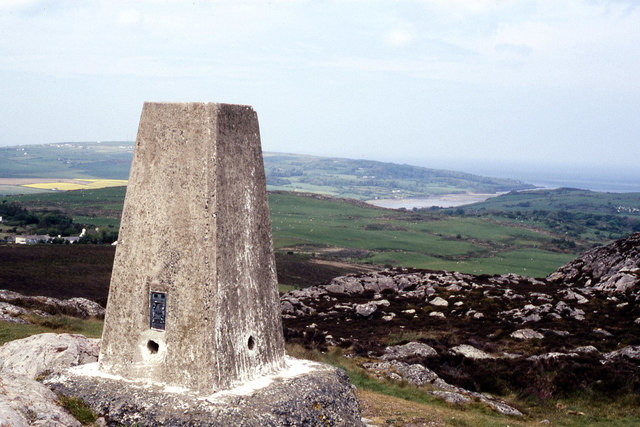
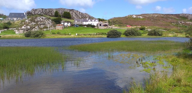
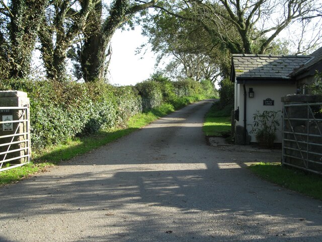
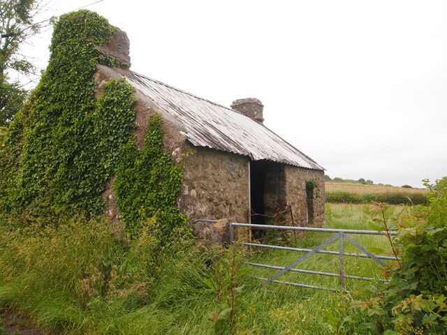
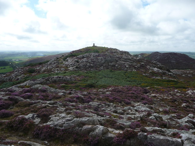
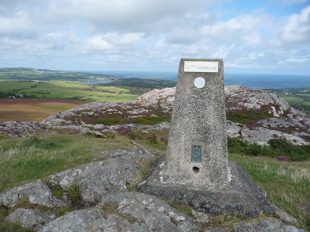
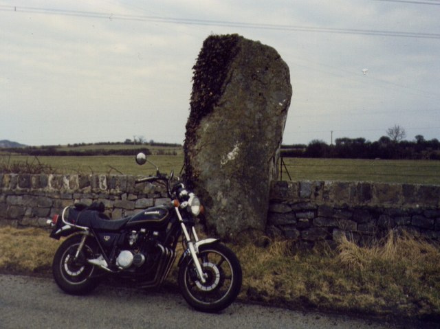
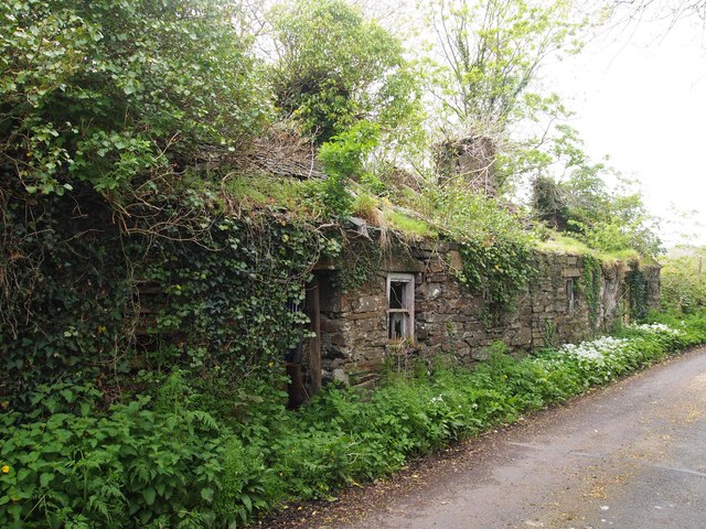
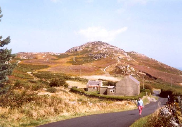
Maenaddwyn Images

Images are sourced within 2km of 53.331893/-4.317582 or Grid Reference SH4584. Thanks to Geograph Open Source API. All images are credited.

Trig Point on Mynydd Bodafon The trig point has useful view information fixed to it.
Trig Point on Mynydd Bodafon
The trig point has useful view information fixed to it.
St Michael's Church, Llanfihangel According to the Royal Commission on the Ancient and Monuments of Wales the church was - ''Almost completely rebuilt in 1811 and 1888, though portions of the walls are earlier. The N doorway with chamfered jambs and a two - centred head may be partly of the 14th Century, and a reset window in the N wall of the chancel with a cinquefoiled light and sunk spandrels, together with a trefoiled light in the S wall, both much repaired, appear to be late medieval.''
St Michael's Church, Llanfihangel
According to the Royal Commission on the Ancient and Monuments of Wales the church was - ''Almost completely rebuilt in 1811 and 1888, though portions of the walls are earlier. The N doorway with chamfered jambs and a two - centred head may be partly of the 14th Century, and a reset window in the N wall of the chancel with a cinquefoiled light and sunk spandrels, together with a trefoiled light in the S wall, both much repaired, appear to be late medieval.''
Path on the summit of Yr-Arwydd Looking north-eastward from Mynydd Bodafon Triangulation Pillar.
Path on the summit of Yr-Arwydd
Looking north-eastward from Mynydd Bodafon Triangulation Pillar.
Pews, Llandyfrydog Church
Maen Addwyn, Standing Stone
View southeast from Yr Arwydd
Trig Point on Yr Arwydd
Mynydd Bodafon Looking across Gors Fawr to Mynydd Bodafon.
Mynydd Bodafon
Looking across Gors Fawr to Mynydd Bodafon.
Mynydd Bodafon summit trig, Anglesey
Road through Capel Coch Quiet village strung out along a minor road north of Llangefni.
Road through Capel Coch
Quiet village strung out along a minor road north of Llangefni.
Capel llwyd at Capel Coch There appears to be a mix up of colours at Capel Coch as the only chapel I could see was grey.
Capel llwyd at Capel Coch
There appears to be a mix up of colours at Capel Coch as the only chapel I could see was grey.
Maen Addwyn standing stone Very thoughtful of the Bronze Age people to erect the stone next to a road. The stone is approximately 3m high and has been cleared of the ivy that once covered much of it.
Maen Addwyn standing stone
Very thoughtful of the Bronze Age people to erect the stone next to a road. The stone is approximately 3m high and has been cleared of the ivy that once covered much of it.
Private farm road to Cwyrt This could be confusing as the map shows the house on the right as Cwyrt Bach, whilst the house name says Cwyrt Lodge. Just 100m or so along the road is another house marked as 'Lodge'.
Private farm road to Cwyrt
This could be confusing as the map shows the house on the right as Cwyrt Bach, whilst the house name says Cwyrt Lodge. Just 100m or so along the road is another house marked as 'Lodge'.
Agricultural Building Near Cefn Du Bach
Trig point and summit of Yr Arwydd Anglesey's highest point at 584 feet or 178 metres above sea level.
Trig point and summit of Yr Arwydd
Anglesey's highest point at 584 feet or 178 metres above sea level.
The trig point on Yr Arwydd looking north-eastwards Obviously a great viewpoint with good views both near and far. The little toposcope feature is great.
The trig point on Yr Arwydd looking north-eastwards
Obviously a great viewpoint with good views both near and far. The little toposcope feature is great.
Maen Addwyn, Standing Stone Bronze age standing stone.  (Kawasaki z750ltd to give scale)
Maen Addwyn, Standing Stone
Bronze age standing stone. (Kawasaki z750ltd to give scale)
Ruined Cottages, Llandyfrydog
Show me another place!

Maenaddwyn is located at Grid Ref: SH4584 (Lat: 53.331893, Lng: -4.317582)

Unitary Authority: Isle of Anglesey

Police Authority: North Wales

Also known as: Maen-Addwyn

What 3 Words

///impaled.deposits.built. Near Llanerchymedd, Isle of Anglesey

Related Wikis

Maenaddfwyn

Maenaddwyn is a village in Anglesey, in north-west Wales. Maenaddwyn has an elevation of 98.6 metres (323 ft). == References == == Other websites == Official...
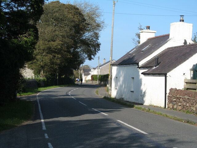
Hebron, Anglesey

Hebron is a hamlet in the community of Llanddyfnan, Anglesey, Wales, which is 136.7 miles (220 km) from Cardiff and 217 miles (349.2 km) from London....
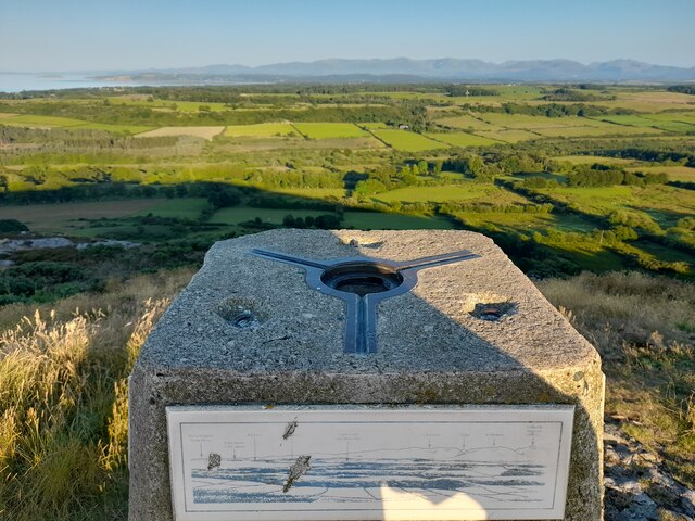
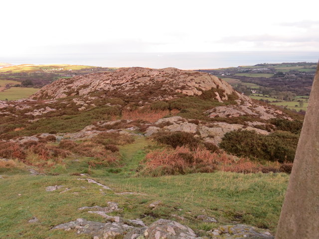
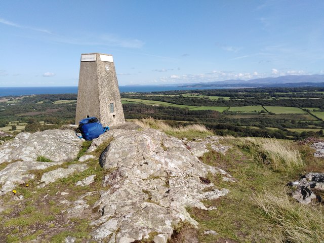
Mynydd Bodafon

Mynydd Bodafon (Bodafon Mountain) is a small collection of peaks including the Arwydd (The Sign or signal) which is the highest point on the island of...
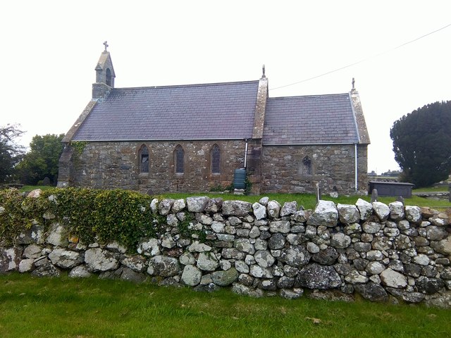
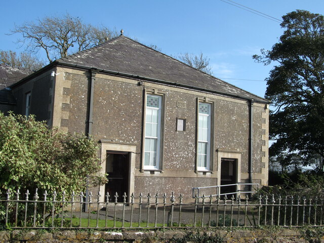
Llandyfrydog

Llandyfrydog is a village in Anglesey, in north-west Wales., in the community of Rhosybol. == Notable people == Hugh Davies (1739–1821) a Welsh botanist...

Nearby Amenities

Located within 500m of 53.331893,-4.317582
Llanfihangel Tre'r Beirdd
Is In: Anglesey
Place: village
Source: NPE
Lat/Long: 53.3322633/-4.3137286
Power: tower
Lat/Long: 53.3300149/-4.3224986
Power: tower
Lat/Long: 53.3279389/-4.3184217
Power: tower
Lat/Long: 53.3322703/-4.3244298
Place Of Worship
Religion: christian
Lat/Long: 53.3278586/-4.3153152
Power: pole
Lat/Long: 53.3322729/-4.3238443
Power: pole
Lat/Long: 53.3314517/-4.3232772
Power: pole
Lat/Long: 53.3304265/-4.3239102
Power: pole
Lat/Long: 53.3332307/-4.3243968
Power: pole
Lat/Long: 53.3293288/-4.323737
Power: pole
Lat/Long: 53.3321672/-4.3109589
Power: pole
Lat/Long: 53.3333301/-4.3111788
Power: pole
Lat/Long: 53.334179/-4.3113532
Power: pole
Lat/Long: 53.3310076/-4.3106853
Power: pole
Lat/Long: 53.3303616/-4.3105794
Power: pole
Lat/Long: 53.3299744/-4.3138906
Power: pole
Lat/Long: 53.3299343/-4.3129706
Power: pole
Lat/Long: 53.3298831/-4.3119326
Telephone
Booth: K6
Covered: booth
Operator: BT
Phone: +44 1248 470456
Lat/Long: 53.3309456/-4.3151183
Direction: S
Generator Method: photovoltaic
Generator Output Electricity: yes
Generator Solar Modules: 10
Generator Source: solar
Generator Type: solar_photovoltaic_panel
Location: roof
Power: generator
Lat/Long: 53.331927/-4.3208161
Direction: S
Generator Method: photovoltaic
Generator Output Electricity: yes
Generator Solar Modules: 10
Generator Source: solar
Generator Type: solar_photovoltaic_panel
Location: roof
Power: generator
Lat/Long: 53.3319221/-4.3209422
Direction: S
Generator Method: photovoltaic
Generator Output Electricity: yes
Generator Solar Modules: 10
Generator Source: solar
Generator Type: solar_photovoltaic_panel
Location: roof
Power: generator
Lat/Long: 53.3318923/-4.3211883
The data included in this document is from www.openstreetmap.org. The data is made available under ODbL.

Have you been to Maenaddwyn?

Leave your review of Maenaddwyn below (or comments, questions and feedback).