Maelienydd
Settlement in Radnorshire
Wales
Maelienydd

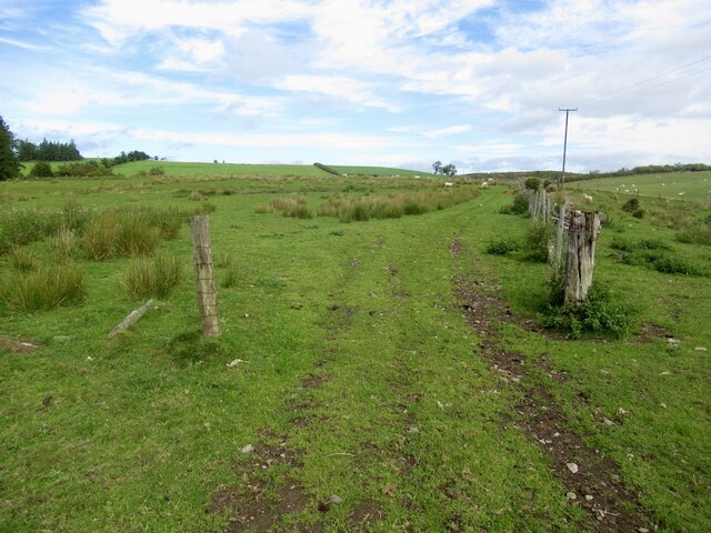
Maelienydd is a small rural community located in the county of Radnorshire, Wales. Situated in the heart of the stunning Welsh countryside, Maelienydd offers picturesque landscapes, rolling hills, and a tranquil atmosphere that attracts nature enthusiasts, hikers, and those seeking a peaceful retreat.
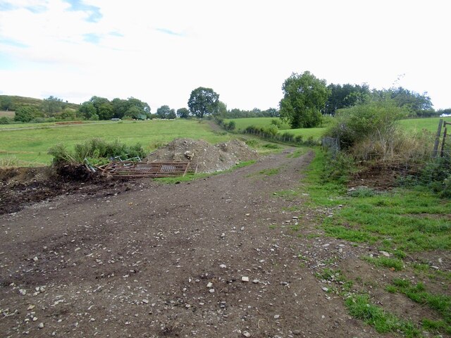
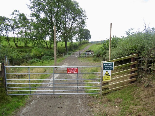
The community is nestled between the towns of Rhayader and Llandrindod Wells, offering convenient access to amenities while still maintaining a rural charm. Maelienydd is known for its vast expanses of green fields, dotted with traditional Welsh stone farmhouses and scattered villages. The area is renowned for its farming heritage, with agriculture playing a significant role in the local economy.
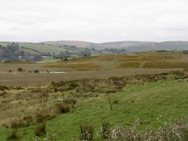
The region is home to several notable landmarks and attractions, including the beautiful Elan Valley, a reservoir complex that provides breathtaking views and opportunities for outdoor activities such as fishing, cycling, and hiking. The nearby Radnor Forest, a designated Special Area of Conservation, offers a diverse range of wildlife and is a popular destination for nature lovers.
In terms of amenities, Maelienydd has a few local shops, traditional pubs, and a community center that hosts various events and gatherings. The community is also home to a primary school, ensuring that families have access to education facilities within the area.
Overall, Maelienydd is a charming and idyllic community that offers a peaceful retreat from the hustle and bustle of city life. With its stunning natural beauty, rich history, and warm community spirit, it continues to be an appealing destination for those seeking a rural lifestyle in the heart of Radnorshire.
If you have any feedback on the listing, please let us know in the comments section below.
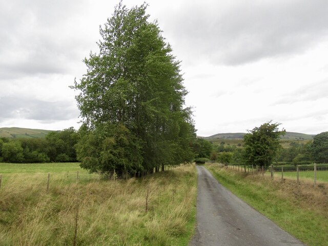
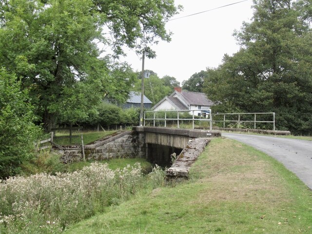
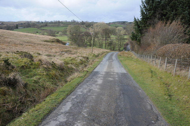
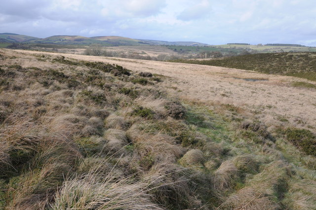
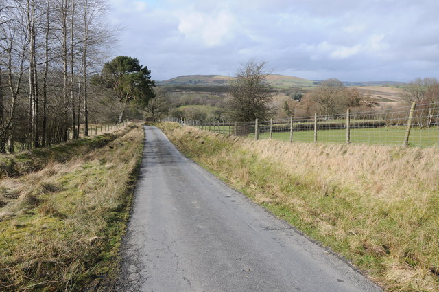
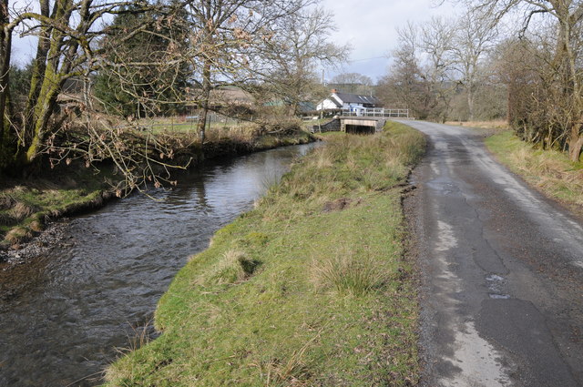
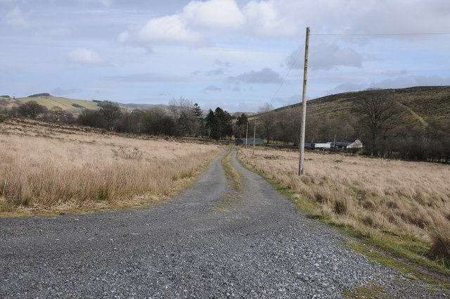
Maelienydd Images
Images are sourced within 2km of 52.321019/-3.2925223 or Grid Reference SO1270. Thanks to Geograph Open Source API. All images are credited.


Maelienydd is located at Grid Ref: SO1270 (Lat: 52.321019, Lng: -3.2925223)
Unitary Authority: Powys
Police Authority: Dyfed Powys
What 3 Words
///drain.describes.awake. Near Penybont, Powys
Nearby Locations
Related Wikis

Heartsease, Llanddewi Ystradenni
Heartsease is a small settlement or hamlet in the parish and community of Llanddewi Ystradenni in Powys, Wales. It should not be confused with Heartsease...
Buddugre Castle
Buddugre Castle (sometimes referred to as Tomen Bedd-Ugre, Castell Cwm Aran, Tomen Bedd Turc and Bedd-y-gre) was a motte and bailey defensive fortification...

Rhwng Gwy a Hafren
Rhwng Gwy a Hafren (English: Between Wye and Severn) was a region of medieval Wales, located in the Welsh Marches between Powys to the north and Brycheiniog...
Llanddewi Ystradenny
Llanddewi Ystradenni is a community in Radnorshire, Powys, Wales. The population of the Community at the 2011 census was 310.Centred on the village of...
Have you been to Maelienydd?
Leave your review of Maelienydd below (or comments, questions and feedback).