Englishman's Neuks
Island in Kincardineshire
Scotland
Englishman's Neuks
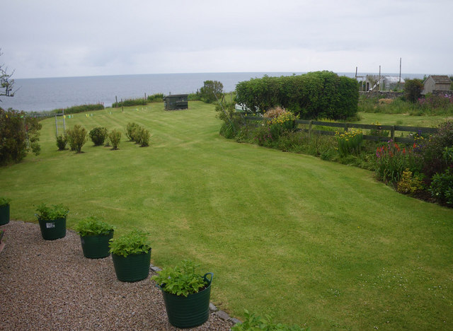
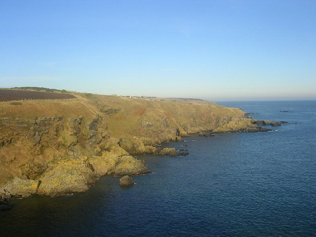
Englishman's Neuks is a small island located off the coast of Kincardineshire in Scotland. With an area of approximately 0.5 hectares, it is one of the smallest islands in the region. The island is situated in the North Sea, about 1.5 kilometers northeast of the village of Johnshaven.
Englishman's Neuks, also known as Englishman's Nook, is a rocky islet characterized by its rugged and uneven terrain. The island is predominantly composed of granite, giving it a distinctive appearance. It is largely uninhabited and lacks any permanent structures or facilities.
The island is a popular destination for wildlife enthusiasts and birdwatchers due to its significant bird population. Various seabird species can be found nesting on the cliffs and rocky outcrops around the island, including kittiwakes, guillemots, and razorbills. The surrounding waters are also home to a diverse range of marine life, making it an ideal spot for snorkeling and diving.
Access to Englishman's Neuks is limited, as there are no regular ferry services or public transport connections. However, the island can be reached by private boat or kayak from nearby coastal areas. Visitors are advised to check local tide times and weather conditions before planning a trip to the island, as the waters can be treacherous during certain periods.
Englishman's Neuks offers a unique and picturesque natural setting, attracting nature enthusiasts seeking a tranquil escape in the midst of Scotland's coastal beauty.
If you have any feedback on the listing, please let us know in the comments section below.
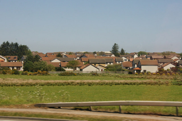
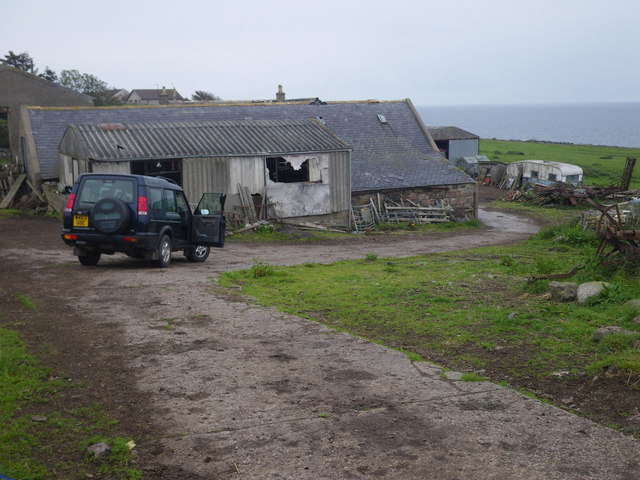
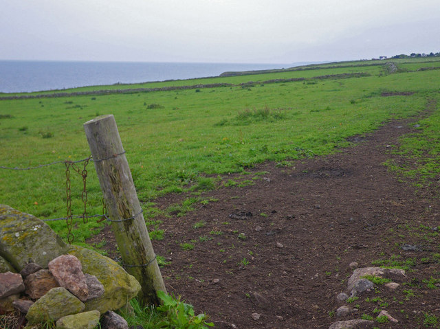
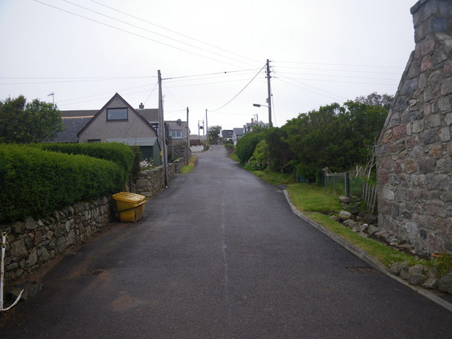
Englishman's Neuks Images
Images are sourced within 2km of 57.052204/-2.1155192 or Grid Reference NO9395. Thanks to Geograph Open Source API. All images are credited.


Englishman's Neuks is located at Grid Ref: NO9395 (Lat: 57.052204, Lng: -2.1155192)
Unitary Authority: Aberdeenshire
Police Authority: North East
What 3 Words
///clogging.shaped.relating. Near Portlethen, Aberdeenshire
Nearby Locations
Related Wikis

Craigmaroinn
Craigmaroinn is a skerry in the North Sea near the Aberdeenshire coastline in Scotland. Craigmaroinn is situated midway between the coastal villages of...

Portlethen Village
Portlethen Village is a settlement located to the east of Portlethen along the North Sea coast in Aberdeenshire, Scotland. The village is also known as...
Cammachmore Bay
Cammachmore Bay is an embayment of the North Sea between Stonehaven and Aberdeen in Aberdeenshire, Scotland. The fishing village of Downies is situated...

Portlethen Academy
Portlethen Academy is a six-year comprehensive secondary school in Portlethen, Aberdeenshire, Scotland. == History == With the expansion of the communities...

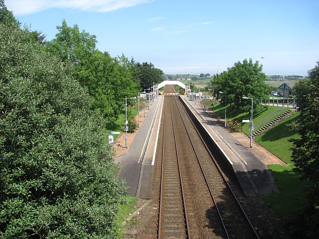
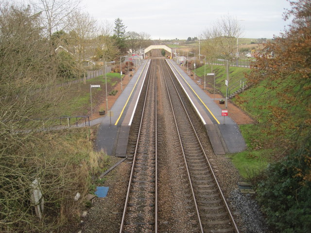
Portlethen railway station
Portlethen railway station serves the town of Portlethen in Aberdeenshire, Scotland. It is sited 232 miles 59 chains (374.6 km) from Carlisle via Perth...
Portlethen
Portlethen (; Scottish Gaelic: Port Leathain) is a town located approximately 7 miles south of Aberdeen, Scotland along the A92. The population according...
Portlethen Moss
The Portlethen Moss is an acidic bog nature reserve located to the west of the town of Portlethen, Aberdeenshire in Scotland. Like other mosses, this...

Findon, Aberdeenshire
Findon (Gaelic: Fionndan, Scots: Finnan) is a fishing village eight miles south of Aberdeen, famous for originating the smoked haddock known as Finnan...
Nearby Amenities
Located within 500m of 57.052204,-2.1155192Have you been to Englishman's Neuks?
Leave your review of Englishman's Neuks below (or comments, questions and feedback).