Donald's Delvings
Coastal Feature, Headland, Point in Kincardineshire
Scotland
Donald's Delvings
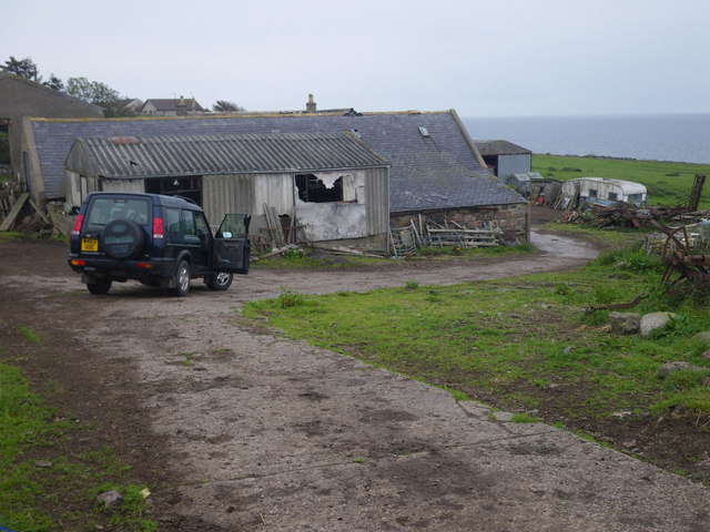
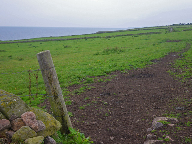
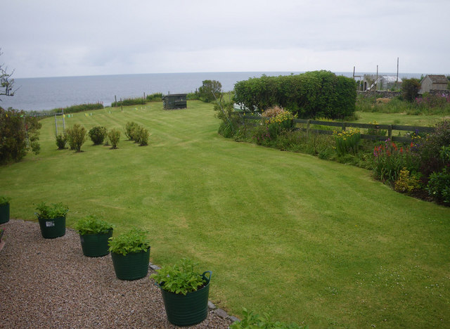
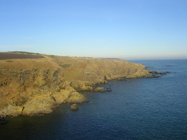
Donald's Delvings is a prominent coastal feature located in Kincardineshire, Scotland. It is a headland that juts out into the North Sea, forming a distinct point along the rugged coastline. The headland is named after Donald, a local fisherman who used to explore the area extensively in search of fish and other marine life.
The headland is characterized by its steep cliffs, which rise dramatically from the sea. These cliffs are composed of sedimentary rocks, primarily sandstone and shale, which have been shaped by the relentless force of the ocean over millions of years. The constant erosion has given way to unique geological formations, such as sea caves and stacks, adding to the headland's natural beauty.
Donald's Delvings offers breathtaking panoramic views of the surrounding sea and coastline, making it a popular spot for tourists and nature enthusiasts alike. The headland provides an ideal vantage point for birdwatching, with several species of seabirds nesting in the rocky cliffs. It is not uncommon to spot gulls, puffins, and even the occasional osprey or peregrine falcon soaring above the crashing waves.
Access to Donald's Delvings is relatively easy, with a well-maintained footpath leading from the nearby village of Kincardine. Visitors can enjoy leisurely walks along the headland, taking in the stunning vistas and immersing themselves in the wild, untamed beauty of Scotland's coastline.
Overall, Donald's Delvings is a remarkable coastal feature, showcasing the power and beauty of nature. Its dramatic cliffs, diverse wildlife, and captivating views make it a must-visit destination for those seeking an authentic Scottish coastal experience.
If you have any feedback on the listing, please let us know in the comments section below.
Donald's Delvings Images
Images are sourced within 2km of 57.053193/-2.1147475 or Grid Reference NO9395. Thanks to Geograph Open Source API. All images are credited.


Donald's Delvings is located at Grid Ref: NO9395 (Lat: 57.053193, Lng: -2.1147475)
Unitary Authority: Aberdeenshire
Police Authority: North East
What 3 Words
///stance.suspect.carriage. Near Portlethen, Aberdeenshire
Nearby Locations
Related Wikis

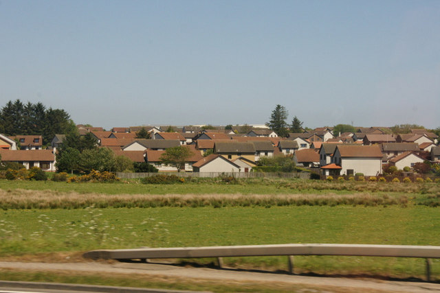
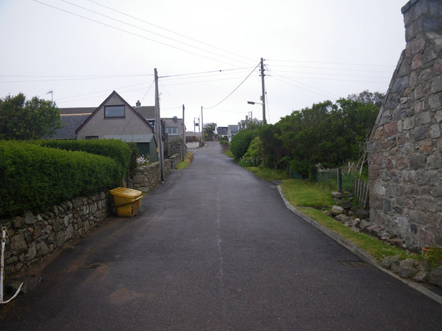
Portlethen Village
Portlethen Village is a settlement located to the east of Portlethen along the North Sea coast in Aberdeenshire, Scotland. The village is also known as...

Craigmaroinn
Craigmaroinn is a skerry in the North Sea near the Aberdeenshire coastline in Scotland. Craigmaroinn is situated midway between the coastal villages of...
Cammachmore Bay
Cammachmore Bay is an embayment of the North Sea between Stonehaven and Aberdeen in Aberdeenshire, Scotland. The fishing village of Downies is situated...

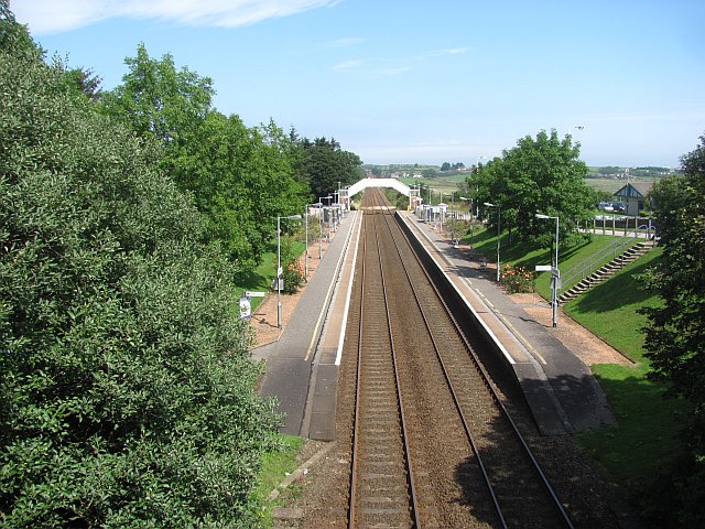
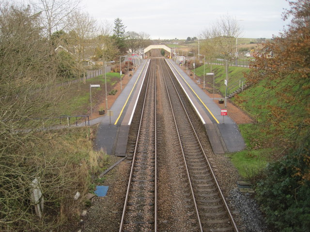
Portlethen railway station
Portlethen railway station serves the town of Portlethen in Aberdeenshire, Scotland. It is sited 232 miles 59 chains (374.6 km) from Carlisle via Perth...

Portlethen Academy
Portlethen Academy is a six-year comprehensive secondary school in Portlethen, Aberdeenshire, Scotland. == History == With the expansion of the communities...
Portlethen
Portlethen (; Scottish Gaelic: Port Leathain) is a town located approximately 7 miles south of Aberdeen, Scotland along the A92. The population according...

Findon, Aberdeenshire
Findon (Gaelic: Fionndan, Scots: Finnan) is a fishing village eight miles south of Aberdeen, famous for originating the smoked haddock known as Finnan...
Portlethen Moss
The Portlethen Moss is an acidic bog nature reserve located to the west of the town of Portlethen, Aberdeenshire in Scotland. Like other mosses, this...
Nearby Amenities
Located within 500m of 57.053193,-2.1147475Have you been to Donald's Delvings?
Leave your review of Donald's Delvings below (or comments, questions and feedback).