Green Skeers
Island in Berwickshire
Scotland
Green Skeers

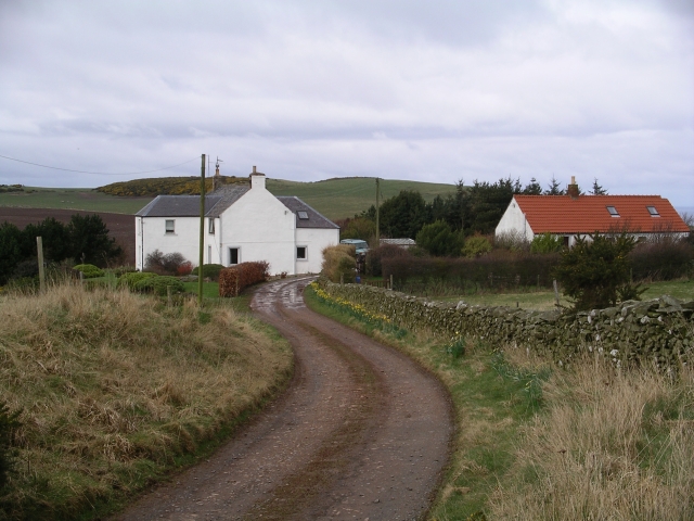
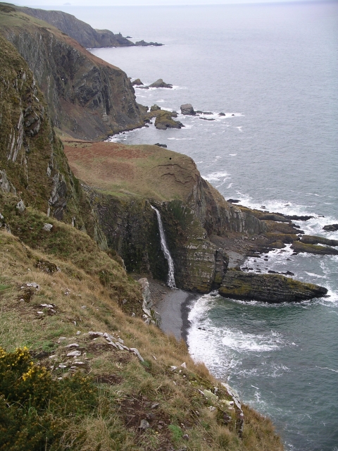
Green Skeers is a small uninhabited island located off the coast of Berwickshire in southeastern Scotland. Situated in the North Sea, the island is known for its stunning natural beauty and diverse wildlife.
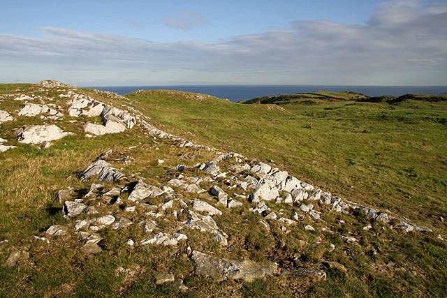
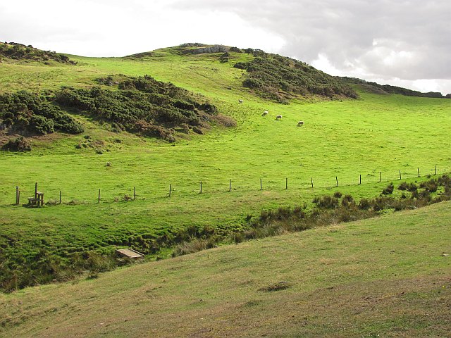
The island, which spans approximately 0.2 square kilometers, is characterized by its rugged coastline, consisting of towering cliffs and rocky outcrops. The landscape is predominantly covered in lush green vegetation, giving the island its name. The island is also home to a variety of plant species, including wildflowers and grasses.
Green Skeers is a haven for birdwatching enthusiasts, as it serves as a breeding ground for several seabird species. Puffins, guillemots, razorbills, and kittiwakes can be observed nesting on the steep cliffs that surround the island. Seals and dolphins are also frequently spotted in the surrounding waters.
Access to Green Skeers is limited due to its remote location and lack of infrastructure. The island is not open to public visits, and special permission is required to land on its shores. This restriction is intended to preserve the island's delicate ecosystem and protect the bird colonies that rely on the island for breeding.
Green Skeers is part of the Berwickshire and North Northumberland Coast Special Protection Area, which recognizes its importance as a wildlife habitat. Conservation efforts are in place to monitor the island's ecosystem and ensure the preservation of its natural resources.
Overall, Green Skeers is a picturesque and ecologically significant island that showcases the beauty of Scotland's coastal landscapes and serves as a sanctuary for various bird species.
If you have any feedback on the listing, please let us know in the comments section below.
Green Skeers Images
Images are sourced within 2km of 55.915247/-2.1622954 or Grid Reference NT8969. Thanks to Geograph Open Source API. All images are credited.


Green Skeers is located at Grid Ref: NT8969 (Lat: 55.915247, Lng: -2.1622954)
Unitary Authority: The Scottish Borders
Police Authority: The Lothians and Scottish Borders
What 3 Words
///fermented.panics.result. Near Eyemouth, Scottish Borders
Related Wikis

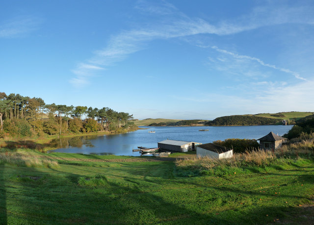
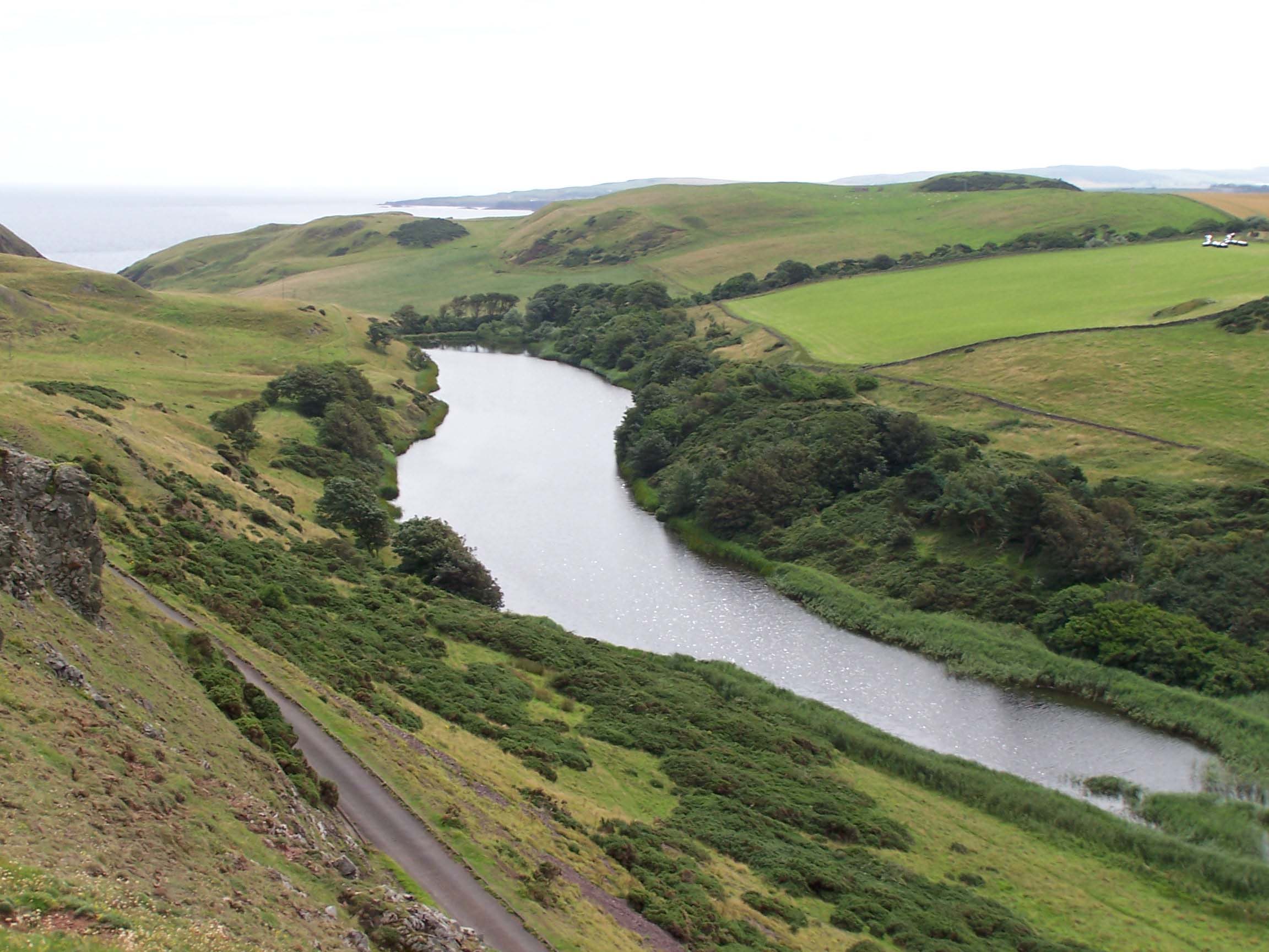
Coldingham Loch
Coldingham Loch is a freshwater loch in the parish of Coldingham, in the Scottish Borders area of Scotland, in the former Berwickshire, between Coldingham...
Mire Loch
Mire Loch is a man made freshwater loch situated on St Abb's Head in the Scottish Borders, just over a kilometre NW of the village of St. Abbs at grid...

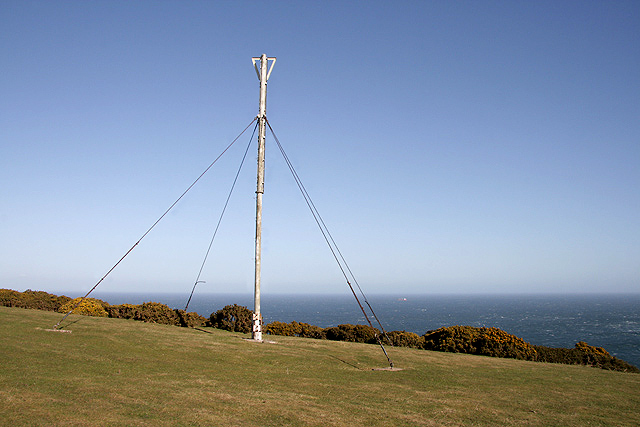
St Abb's Head Lighthouse
St Abb's Head Lighthouse stands on the cliffs at the rocky promontory of St Abb's Head, near the village of St Abbs in Berwickshire. A signal station was...

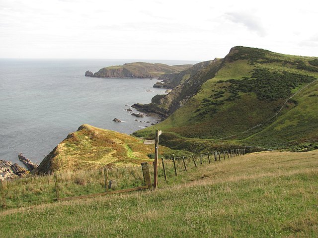
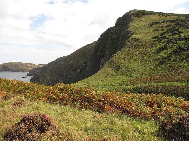
St Abb's Head
St Abb's Head is a rocky promontory by the village of St Abbs in Scottish Borders, Scotland, and a national nature reserve administered by the National...

St. Abbs and Eyemouth Voluntary Marine Reserve
St. Abbs and Eyemouth Voluntary Marine Reserve is a Voluntary Marine Reserve—the first established in the United Kingdom. Located in the Scottish Borders...
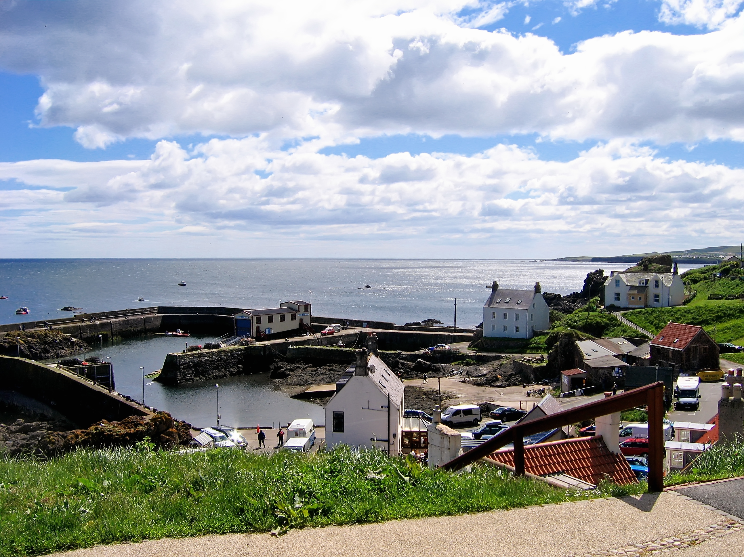
St Abbs
St Abbs is a small fishing village on the southeastern coast of Scotland, within the Coldingham parish of Scottish Borders. The village was originally...

St Abbs Lifeboat Station
St Abbs Lifeboat is an independent marine-rescue facility in St Abbs, Berwickshire, Scotland. == Independent lifeboat == St Abbs Lifeboat is run as an...
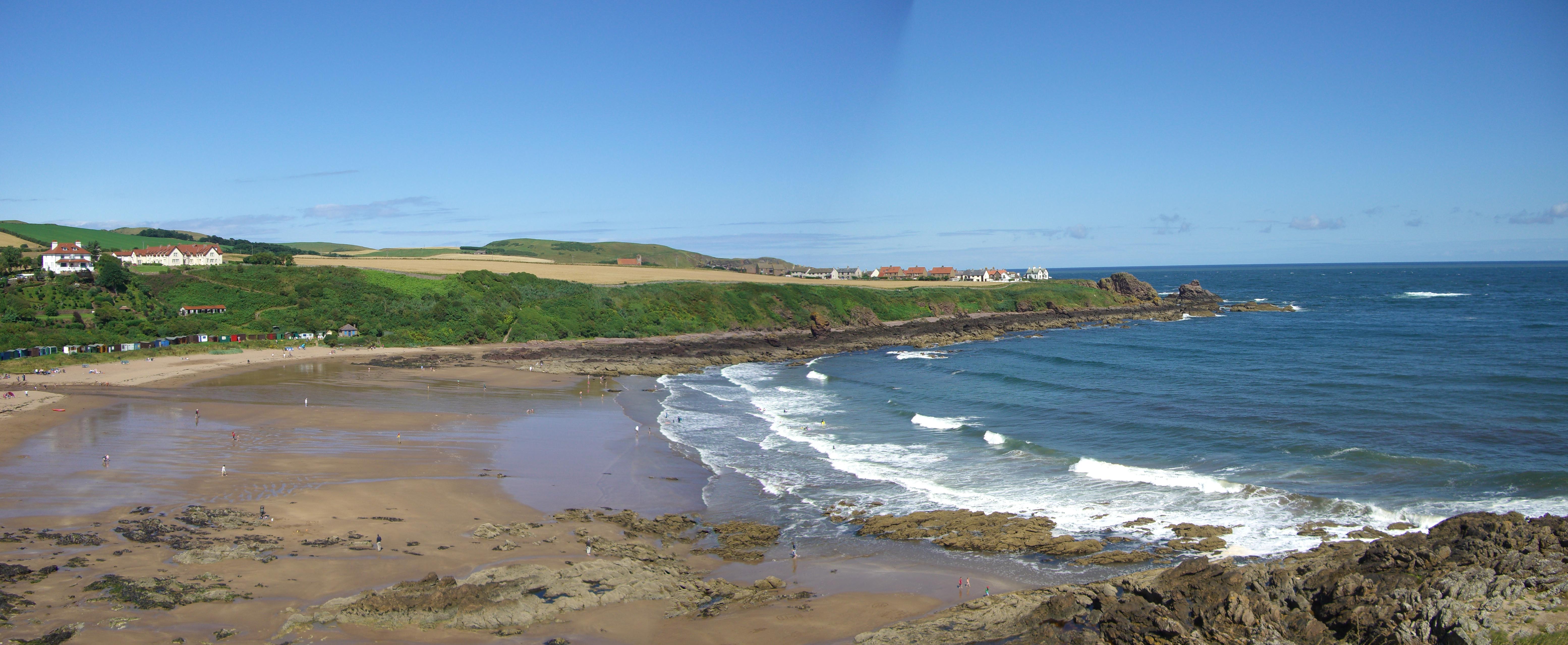
Coldingham Bay
Coldingham Bay is an inlet in the North Sea coast, just over three kilometres north of the town of Eyemouth in the Scottish Borders area of Scotland. It...
Nearby Amenities
Located within 500m of 55.915247,-2.1622954Have you been to Green Skeers?
Leave your review of Green Skeers below (or comments, questions and feedback).