Alice's Strand Gaut
Island in Berwickshire
Scotland
Alice's Strand Gaut

Alice's Strand Gaut is a small island located in Berwickshire, Scotland. It is situated off the coast of the village of Coldingham and is accessible via a short boat ride from the mainland. The island is named after Alice, a local resident who had a deep connection with the area.
With an area of approximately 2 acres, Alice's Strand Gaut offers a picturesque and tranquil environment for visitors. The island is characterized by its rugged coastline, sandy beaches, and rocky cliffs. It is surrounded by crystal-clear waters, making it a popular spot for swimming, snorkeling, and other water activities.
Nature lovers will appreciate the diverse wildlife found on Alice's Strand Gaut. The island is home to a variety of bird species, including puffins, gulls, and cormorants. Seals can also frequently be spotted lounging on the rocks or swimming nearby. The surrounding waters are teeming with marine life, making it a great spot for fishing or simply observing the underwater world.
Alice's Strand Gaut has limited facilities, with no permanent structures or amenities. However, its untouched and unspoiled nature is part of its charm. Visitors are advised to bring their own supplies and take any waste with them when leaving the island.
Overall, Alice's Strand Gaut offers a peaceful escape from the hustle and bustle of everyday life. Its natural beauty, wildlife, and secluded location make it an ideal destination for those seeking a serene and off-the-beaten-path experience.
If you have any feedback on the listing, please let us know in the comments section below.
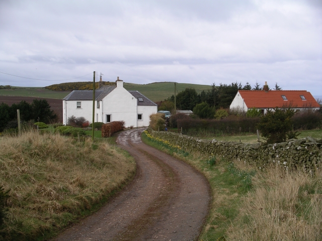
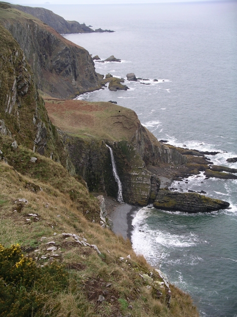
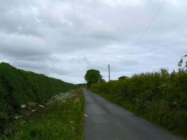
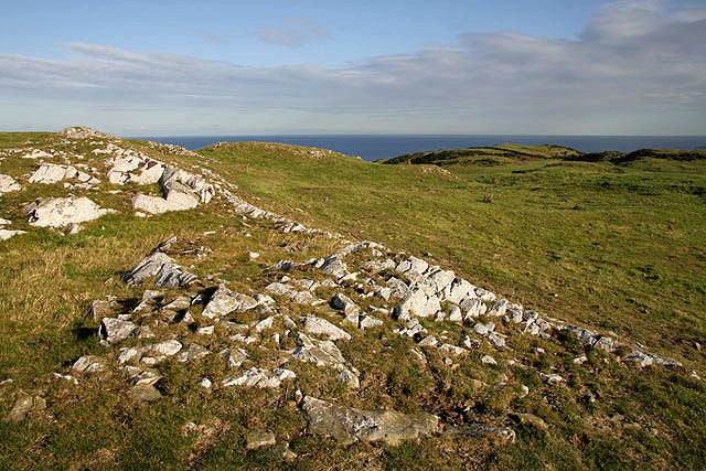
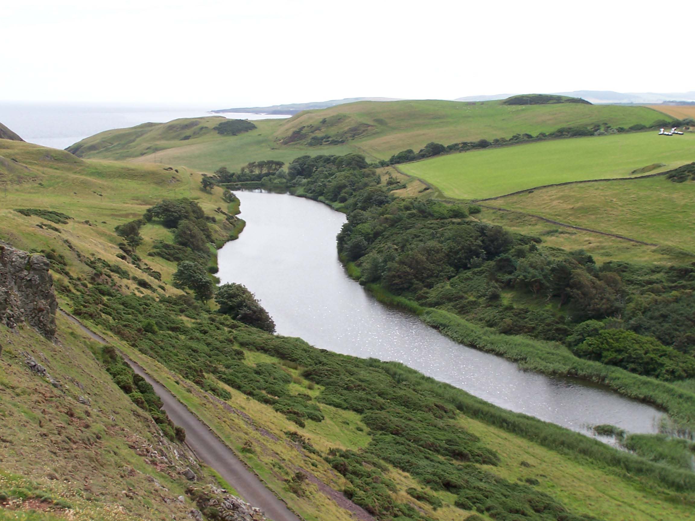
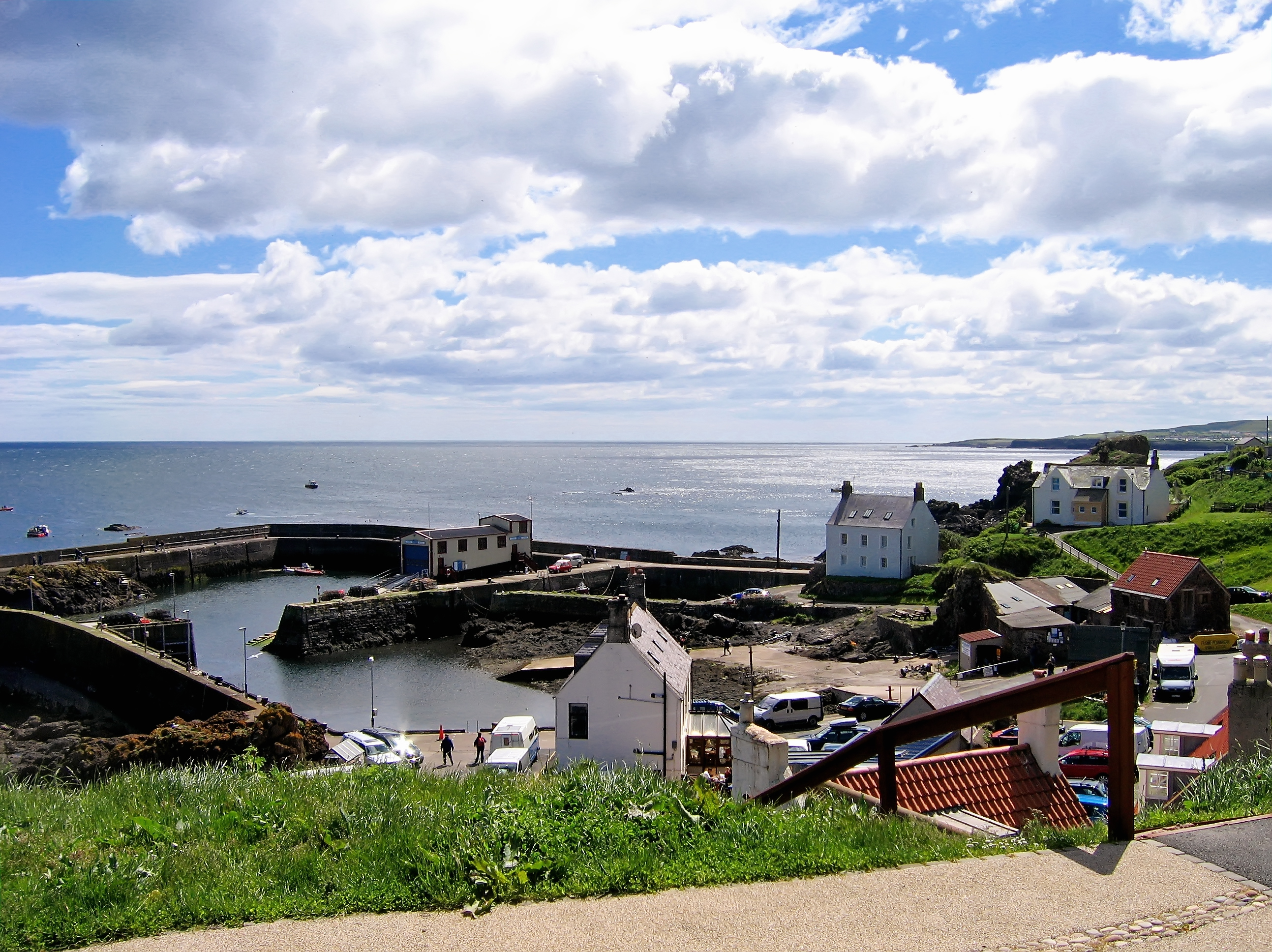
Alice's Strand Gaut Images
Images are sourced within 2km of 55.915957/-2.1623303 or Grid Reference NT8969. Thanks to Geograph Open Source API. All images are credited.


Alice's Strand Gaut is located at Grid Ref: NT8969 (Lat: 55.915957, Lng: -2.1623303)
Unitary Authority: The Scottish Borders
Police Authority: The Lothians and Scottish Borders
What 3 Words
///broth.milky.producing. Near Eyemouth, Scottish Borders
Nearby Locations
Related Wikis

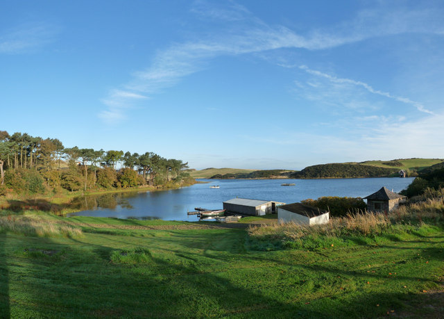
Coldingham Loch
Coldingham Loch is a freshwater loch in the parish of Coldingham, in the Scottish Borders area of Scotland, in the former Berwickshire, between Coldingham...
Mire Loch
Mire Loch is a man made freshwater loch situated on St Abb's Head in the Scottish Borders, just over a kilometre NW of the village of St. Abbs at grid...

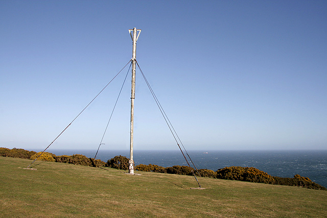
St Abb's Head Lighthouse
St Abb's Head Lighthouse stands on the cliffs at the rocky promontory of St Abb's Head, near the village of St Abbs in Berwickshire. A signal station was...

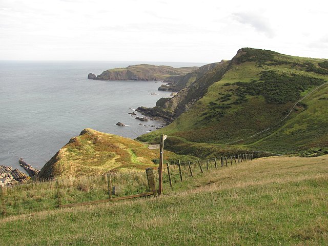
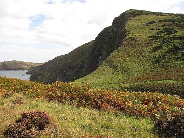
St Abb's Head
St Abb's Head is a rocky promontory by the village of St Abbs in Scottish Borders, Scotland, and a national nature reserve administered by the National...

St. Abbs and Eyemouth Voluntary Marine Reserve
St. Abbs and Eyemouth Voluntary Marine Reserve is a Voluntary Marine Reserve—the first established in the United Kingdom. Located in the Scottish Borders...
St Abbs
St Abbs is a small fishing village on the southeastern coast of Scotland, within the Coldingham parish of Scottish Borders. The village was originally...

St Abbs Lifeboat Station
St Abbs Lifeboat is an independent marine-rescue facility in St Abbs, Berwickshire, Scotland. == Independent lifeboat == St Abbs Lifeboat is run as an...
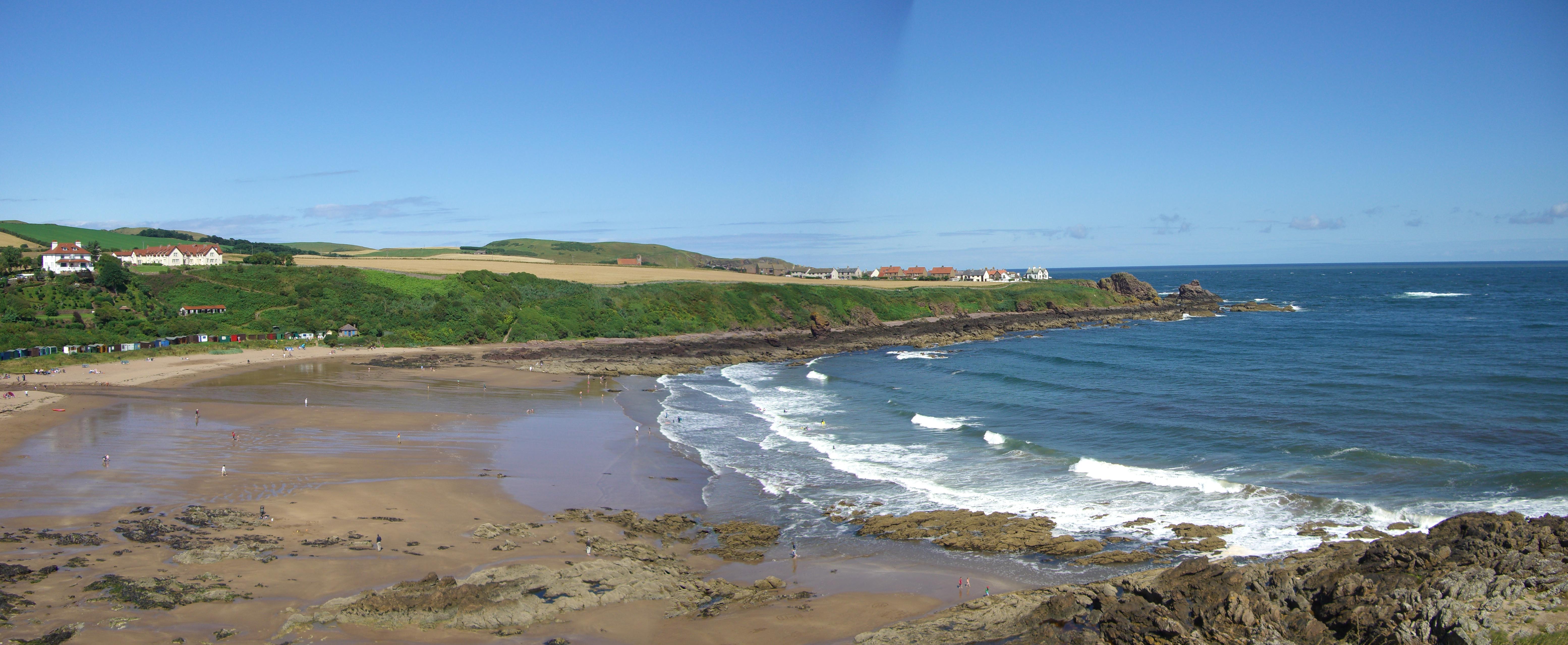
Coldingham Bay
Coldingham Bay is an inlet in the North Sea coast, just over three kilometres north of the town of Eyemouth in the Scottish Borders area of Scotland. It...
Nearby Amenities
Located within 500m of 55.915957,-2.1623303Have you been to Alice's Strand Gaut?
Leave your review of Alice's Strand Gaut below (or comments, questions and feedback).