Biter's Heugh
Cliff, Slope in Berwickshire
Scotland
Biter's Heugh

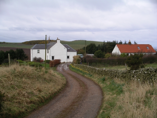
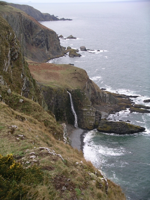
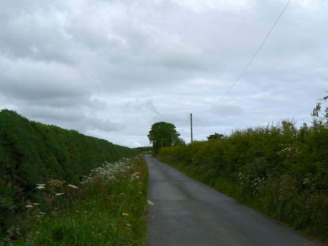
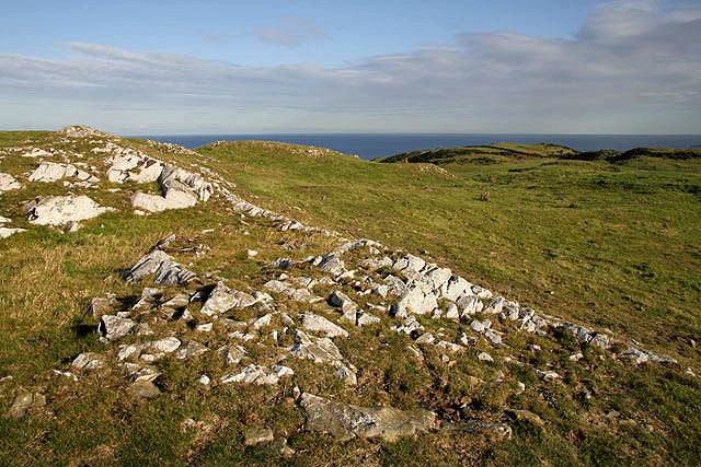
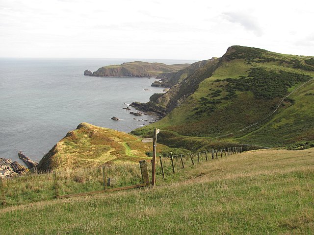
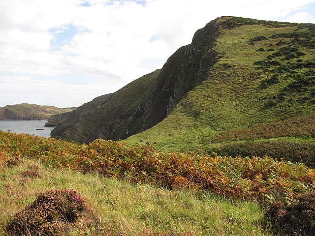
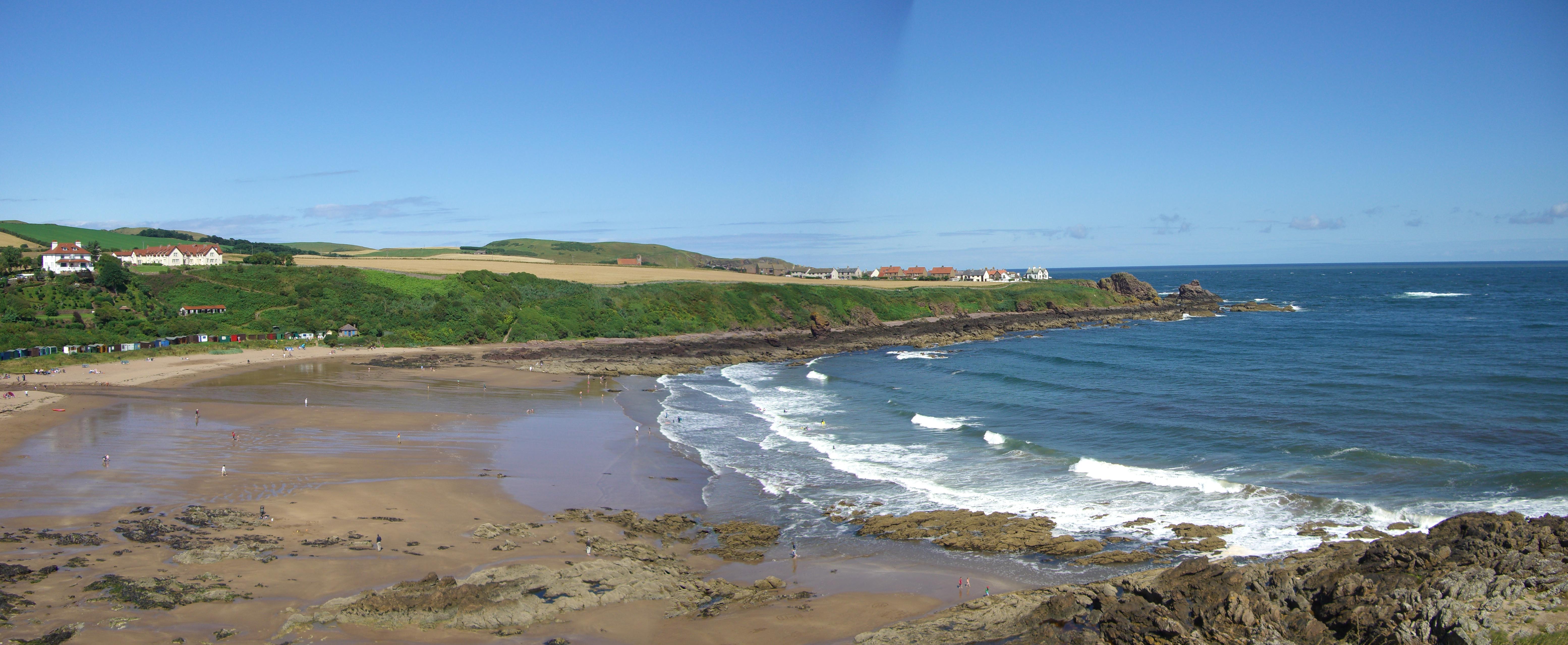
Biter's Heugh is a prominent cliff located in Berwickshire, Scotland. It sits on the coast of the North Sea, offering stunning views of the surrounding landscape. The cliff is known for its dramatic height, reaching up to 200 feet (61 meters) above sea level, and its steep slopes that descend sharply towards the crashing waves below.
The name "Biter's Heugh" is derived from the Old English word "heugh," meaning a steep hill or cliff, and it is believed to have been given due to the treacherous nature of the area. The cliff is composed of layers of sandstone and shale, which have been eroded over centuries by the powerful forces of wind and water, creating a rugged and awe-inspiring formation.
Biter's Heugh is an important site for wildlife enthusiasts, as it provides a habitat for various bird species, including puffins, guillemots, and kittiwakes. The cliff's inaccessible ledges and crevices provide nesting sites for these birds, making it a popular spot for birdwatching. Seals can also be spotted swimming near the base of the cliff, adding to the area's natural charm.
In addition to its natural beauty, Biter's Heugh has historical significance. It is believed to have been a defensive site during ancient times, as evidence of Iron Age fortifications has been discovered in the vicinity. The cliff's strategic location overlooking the sea would have provided an advantageous vantage point for any potential invaders.
Overall, Biter's Heugh is a stunning and historically rich natural landmark that attracts visitors from near and far, offering breathtaking views and a glimpse into the region's past.
If you have any feedback on the listing, please let us know in the comments section below.
Biter's Heugh Images
Images are sourced within 2km of 55.914223/-2.1622431 or Grid Reference NT8969. Thanks to Geograph Open Source API. All images are credited.


Biter's Heugh is located at Grid Ref: NT8969 (Lat: 55.914223, Lng: -2.1622431)
Unitary Authority: The Scottish Borders
Police Authority: The Lothians and Scottish Borders
What 3 Words
///coast.spenders.mule. Near Eyemouth, Scottish Borders
Nearby Locations
Related Wikis

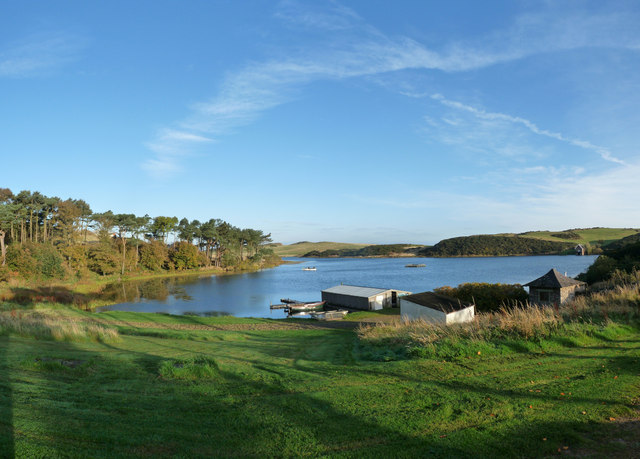
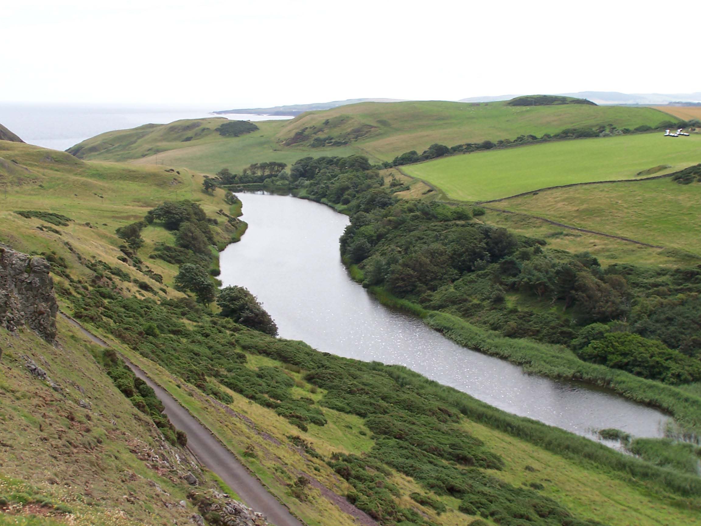
Coldingham Loch
Coldingham Loch is a freshwater loch in the parish of Coldingham, in the Scottish Borders area of Scotland, in the former Berwickshire, between Coldingham...
Mire Loch
Mire Loch is a man made freshwater loch situated on St Abb's Head in the Scottish Borders, just over a kilometre NW of the village of St. Abbs at grid...

St Abb's Head Lighthouse
St Abb's Head Lighthouse stands on the cliffs at the rocky promontory of St Abb's Head, near the village of St Abbs in Berwickshire. A signal station was...

St Abb's Head
St Abb's Head is a rocky promontory by the village of St Abbs in Scottish Borders, Scotland, and a national nature reserve administered by the National...

St. Abbs and Eyemouth Voluntary Marine Reserve
St. Abbs and Eyemouth Voluntary Marine Reserve is a Voluntary Marine Reserve—the first established in the United Kingdom. Located in the Scottish Borders...
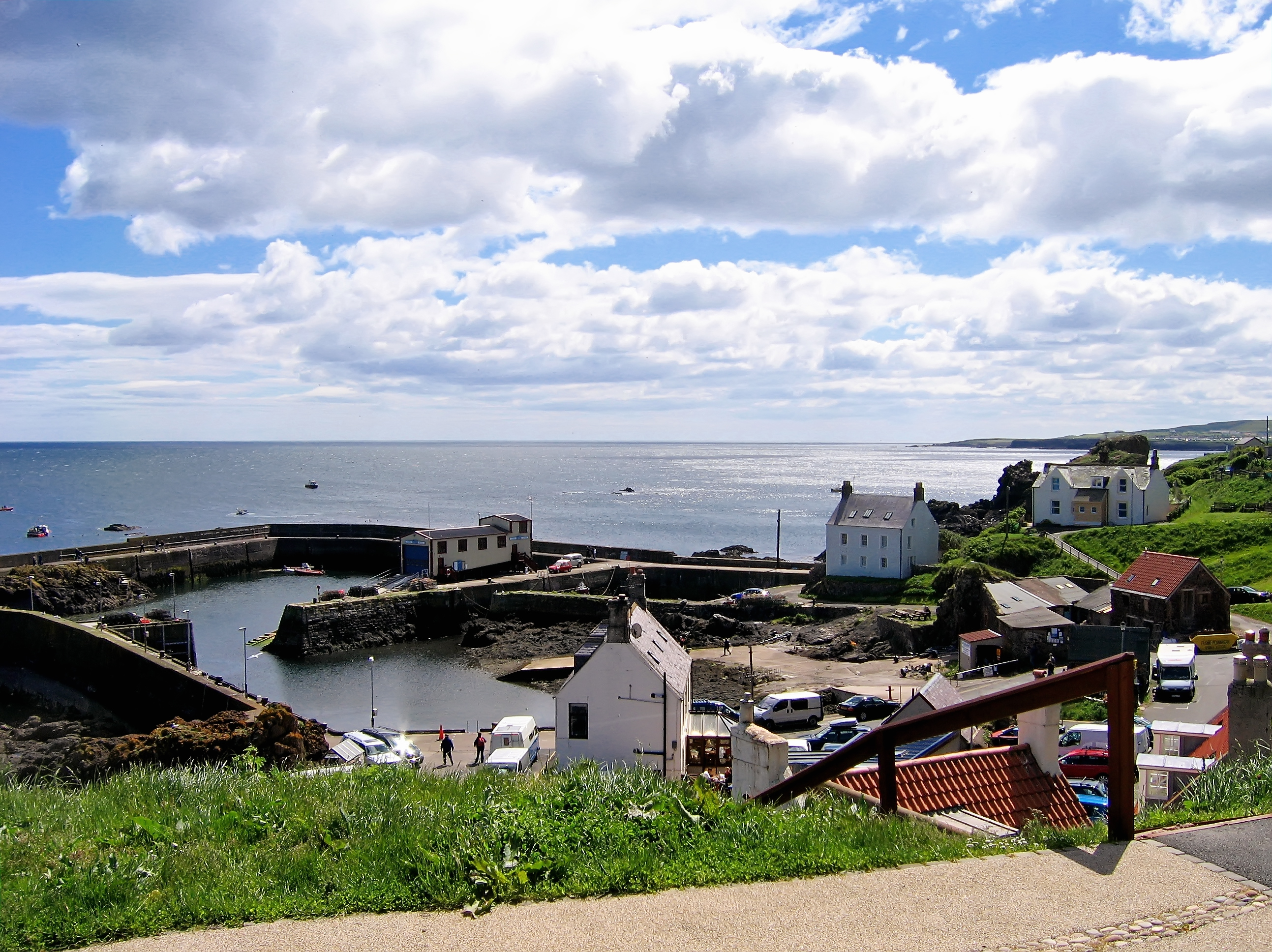
St Abbs
St Abbs is a small fishing village on the southeastern coast of Scotland, within the Coldingham parish of Scottish Borders. The village was originally...

St Abbs Lifeboat Station
St Abbs Lifeboat is an independent marine-rescue facility in St Abbs, Berwickshire, Scotland. == Independent lifeboat == St Abbs Lifeboat is run as an...
Coldingham Bay
Coldingham Bay is an inlet in the North Sea coast, just over three kilometres north of the town of Eyemouth in the Scottish Borders area of Scotland. It...
Nearby Amenities
Located within 500m of 55.914223,-2.1622431Have you been to Biter's Heugh?
Leave your review of Biter's Heugh below (or comments, questions and feedback).