Brighead Bush

Island in Kincardineshire

Scotland

Brighead Bush

Coutts Rock An outcrop of rock to the south of Gourdon.
Coutts Rock Credit: Andrew Wood

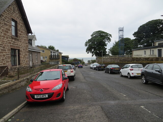
Brighead Bush is a small island located off the coast of Kincardineshire, Scotland. Situated in the North Sea, it is part of the Aberdeenshire Council area. The island is approximately 1.5 hectares in size and is situated about 1.6 kilometers from the mainland. It can be reached by boat or by walking during low tide when a natural causeway is exposed.

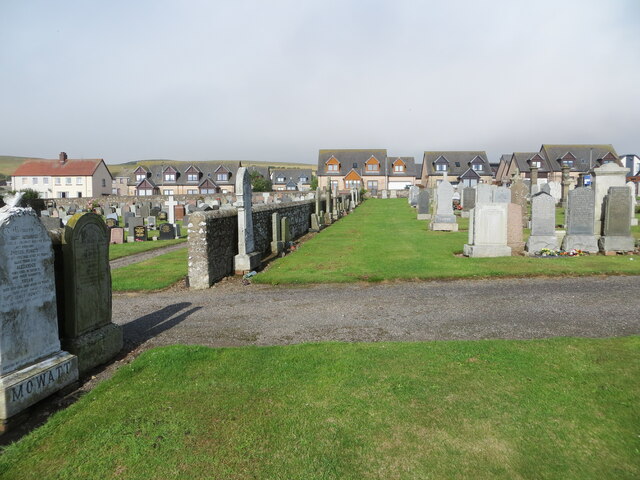
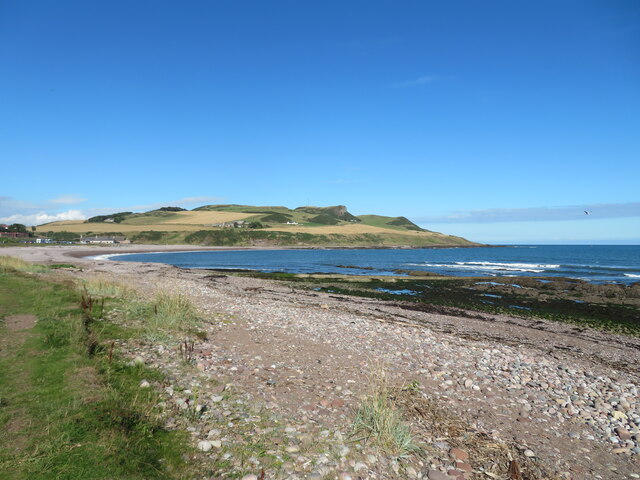
The island is known for its rugged and picturesque landscape, with steep cliffs and rocky shores. It is home to a diverse range of wildlife, including various bird species, seals, and marine life. The surrounding waters provide an important habitat for marine creatures and are a popular spot for fishing and diving enthusiasts.

Brighead Bush has a rich history, with evidence of human activity dating back to prehistoric times. Archaeological excavations have revealed the remains of ancient structures and artifacts, indicating that the island was inhabited during different periods. It is believed to have been a strategic location for fishing and trade.

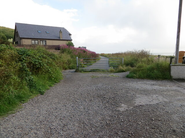
Today, the island is predominantly used for recreational purposes, attracting visitors who come to enjoy its natural beauty and tranquility. It offers opportunities for walking, birdwatching, and exploring the coastline. However, access to the island may be limited during high tide, and visitors are advised to check the tidal timetable before planning a visit.

Brighead Bush, with its stunning coastal scenery and rich archaeological heritage, continues to be a hidden gem on the Scottish coastline, offering a unique experience for nature enthusiasts and history buffs alike.

If you have any feedback on the listing, please let us know in the comments section below.

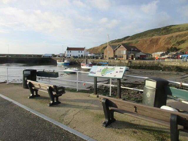
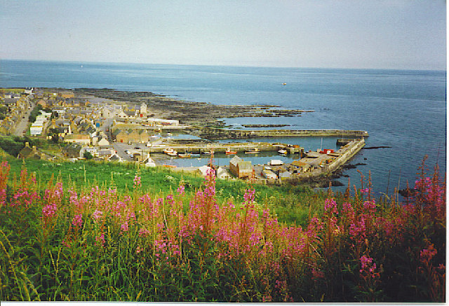
Brighead Bush Images

Images are sourced within 2km of 56.834295/-2.2722224 or Grid Reference NO8371. Thanks to Geograph Open Source API. All images are credited.

Coutts Rock An outcrop of rock to the south of Gourdon.
Coutts Rock
An outcrop of rock to the south of Gourdon.
Church Street, Inverbervie Looking north-westward from beside Bervie School.
Church Street, Inverbervie
Looking north-westward from beside Bervie School.
Kirk Burn, Inverbervie Looking south-eastward from near to the Fire Station.
Kirk Burn, Inverbervie
Looking south-eastward from near to the Fire Station.
A part of Gourdon Cemetery Looking westward towards private housing on Brae Road.
A part of Gourdon Cemetery
Looking westward towards private housing on Brae Road.
Gourdon Harbour Looking north-westward.
Gourdon Harbour
Looking north-westward.
Recreational Trail converted from a disused railway line at Gourdon Looking north-eastward.
Recreational Trail converted from a disused railway line at Gourdon
Looking north-eastward.
Recreational Trail converted from a disused railway line beside Horse Crook Bay, Gourdon Looking north-eastward.
Recreational Trail converted from a disused railway line beside Horse Crook Bay, Gourdon
Looking north-eastward.
Flowering boat Inverbervie An old boat finds a new use on the green above the beach at Inverbervie.
Flowering boat Inverbervie
An old boat finds a new use on the green above the beach at Inverbervie.
Beach at Inverbervie Pebble beach with rocky reefs along the shoreline.
Beach at Inverbervie
Pebble beach with rocky reefs along the shoreline.
Ordnance Survey Flush Bracket S7021 This bracket can be found on the wall of Bervie School, Inverbervie.
The recorded details give a height of 28.805 metres above sea level.
For more detail see : <span class="nowrap"><a title="https://www.bench-marks.org.uk/bm488" rel="nofollow ugc noopener" href="https://www.bench-marks.org.uk/bm488">Link</a><img style="margin-left:2px;" alt="External link" title="External link - shift click to open in new window" src="https://s1.geograph.org.uk/img/external.png" width="10" height="10"/></span>
Ordnance Survey Flush Bracket S7021
This bracket can be found on the wall of Bervie School, Inverbervie. The recorded details give a height of 28.805 metres above sea level. For more detail see : LinkExternal link
Ordnance Survey Cut Mark with Bolt This mark can be found on the wall of Bervie Church, Inverbervie.
The recorded details give a height of 28.973 metres above sea level.
For more detail see : <span class="nowrap"><a title="https://www.bench-marks.org.uk/bm126448" rel="nofollow ugc noopener" href="https://www.bench-marks.org.uk/bm126448">Link</a><img style="margin-left:2px;" alt="External link" title="External link - shift click to open in new window" src="https://s1.geograph.org.uk/img/external.png" width="10" height="10"/></span>
Ordnance Survey Cut Mark with Bolt
This mark can be found on the wall of Bervie Church, Inverbervie. The recorded details give a height of 28.973 metres above sea level. For more detail see : LinkExternal link
Ordnance Survey Cut Mark This mark can be found on the roadside boundary wall of Gourdon Cemetery.
The recorded details give a height of 40.4409 metres above sea level.
For more detail see : <span class="nowrap"><a title="https://www.bench-marks.org.uk/bm162450" rel="nofollow ugc noopener" href="https://www.bench-marks.org.uk/bm162450">Link</a><img style="margin-left:2px;" alt="External link" title="External link - shift click to open in new window" src="https://s1.geograph.org.uk/img/external.png" width="10" height="10"/></span>
Ordnance Survey Cut Mark
This mark can be found on the roadside boundary wall of Gourdon Cemetery. The recorded details give a height of 40.4409 metres above sea level. For more detail see : LinkExternal link
Gourdon Harbour and village from a layby on the A92.
Gourdon
Harbour and village from a layby on the A92.
Coast south of Inverbervie Rocky coastline between Inverbervie and Gourdon, with Bervie Brow in the distance.
Coast south of Inverbervie
Rocky coastline between Inverbervie and Gourdon, with Bervie Brow in the distance.
Seaview Terrace, Gourdon Seaview Terrace at the east end of Gourdon.
Seaview Terrace, Gourdon
Seaview Terrace at the east end of Gourdon.
Farquhar Memorial The Farquhar Memorial at the harbour in Gourdon.
Farquhar Memorial
The Farquhar Memorial at the harbour in Gourdon.
Gourdon Harbour The harbour area at the coastal village of Gourdon.
Gourdon Harbour
The harbour area at the coastal village of Gourdon.
Coast south of Gourdon Looking northwards up the coastline towards Gourdon.
Coast south of Gourdon
Looking northwards up the coastline towards Gourdon.
Show me another place!

Brighead Bush is located at Grid Ref: NO8371 (Lat: 56.834295, Lng: -2.2722224)

Unitary Authority: Aberdeenshire

Police Authority: North East

What 3 Words

///dice.logged.bypasses. Near Inverbervie, Aberdeenshire

Related Wikis

Inverbervie railway station

Bervie railway station served the town of Inverbervie, Aberdeenshire, Scotland from 1865 to 1966 on the Montrose and Bervie Railway. == History == The...

Gourdon railway station (NBR)

Gourdon railway station served the village of Gourdon, Aberdeenshire, Scotland from 1865 to 1951 on the Montrose and Bervie Railway. == History == The...

Bervie Water

Bervie Water (Scottish Gaelic: Uisge Bhiorbhaigh) is a river in Aberdeenshire, Scotland which rises in the Drumtochty Forest and flows across The Mearns...

Gourdon, Aberdeenshire

Gourdon () nicknamed Gurdin by the population, is a coastal fishing village in Aberdeenshire, Scotland, south of Inverbervie and north of Johnshaven, with...

Inverbervie

Inverbervie (from Scottish Gaelic: Inbhir Biorbhaidh or Biorbhaigh, "mouth of the River Bervie") is a small town on the north-east coast of Scotland, south...

Inverbervie Town House

Inverbervie Town House is a municipal structure in Church Street in Inverbervie, Aberdeenshire, Scotland. The structure, which is primarily used as a public...

Allardice Castle

Allardice Castle (also spelled Allardyce) is a sixteenth-century manor house in Kincardineshire, Scotland. It is approximately 1.5 kilometres north-west...

Benholm Mill

Benholm Mill in Kincardineshire, Scotland, is a restored and fully working water-powered meal mill. It is sited in ancient woodland near Johnshaven (13...

Nearby Amenities

Located within 500m of 56.834295,-2.2722224
Source: PGS
Lat/Long: 56.8310314/-2.2774833
Source: PGS
Lat/Long: 56.8318566/-2.2772519
Source: PGS
Lat/Long: 56.8326006/-2.2758359
Horse Crook Bay
Natural: bay
Lat/Long: 56.8308862/-2.2744725
Mudlins Den
Place: locality
Lat/Long: 56.8374099/-2.2765805
The data included in this document is from www.openstreetmap.org. The data is made available under ODbL.

Have you been to Brighead Bush?

Leave your review of Brighead Bush below (or comments, questions and feedback).