Black Craig
Island in Banffshire
Scotland
Black Craig
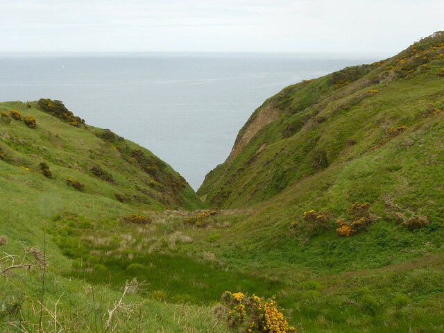
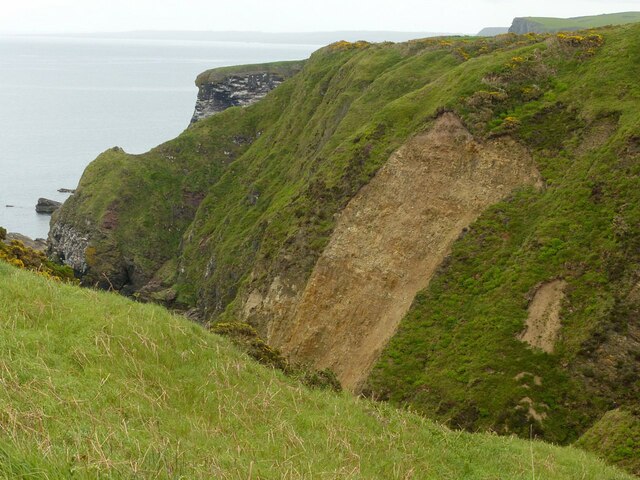
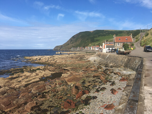
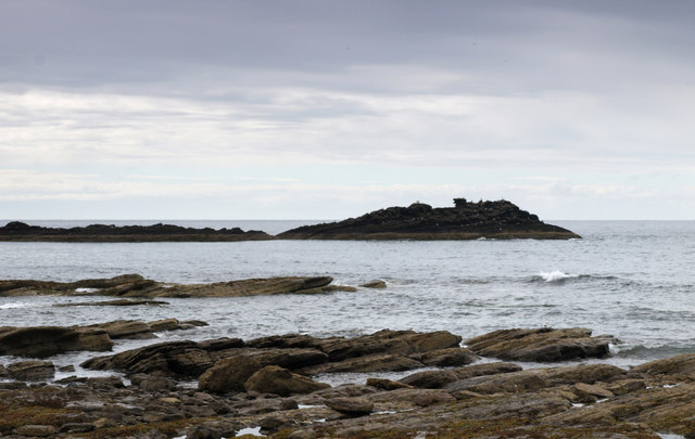
Black Craig is a small island located off the northeastern coast of Scotland in Banffshire. It is situated in the Moray Firth, approximately 1.5 kilometers from the mainland. The island is rocky and rugged, with steep cliffs rising up from the sea. It covers an area of around 0.2 hectares and has no permanent human residents.
The name "Black Craig" is derived from the Gaelic word "craig," meaning rock. The island is aptly named as it is dominated by a large black rock formation that gives it a distinctive appearance. This rock formation is the result of volcanic activity that occurred millions of years ago.
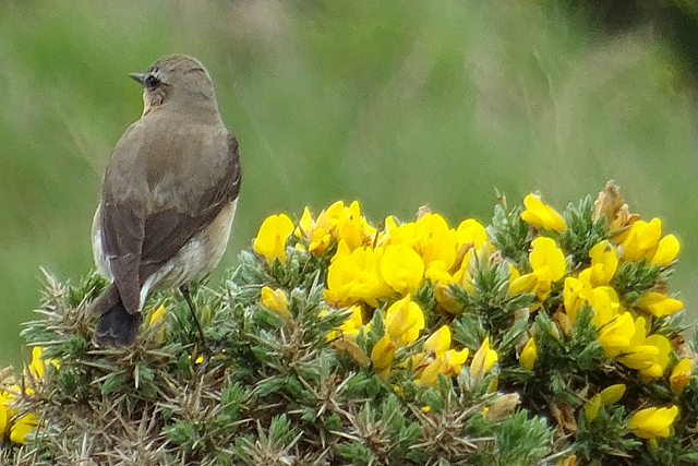
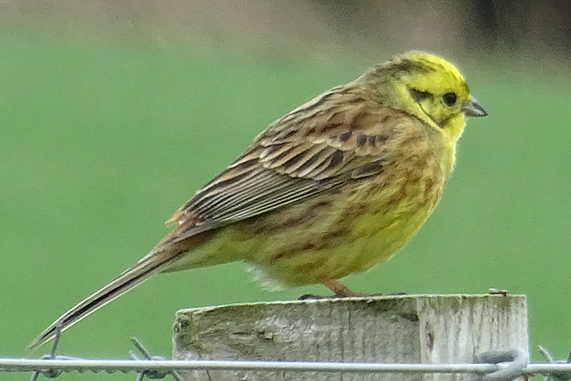
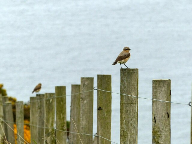
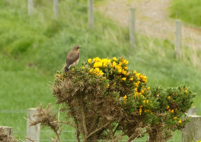
Black Craig is home to a variety of seabirds, including gulls, puffins, and cormorants. The island provides an important breeding ground and sanctuary for these species, as well as a resting place for migratory birds. During the breeding season, the island comes alive with the sights and sounds of nesting seabirds.
Access to Black Craig is limited due to its remote location and lack of facilities. It is primarily visited by birdwatchers and nature enthusiasts who appreciate its unique geological features and the abundance of birdlife. Boat trips are available from nearby coastal towns for those wishing to explore the island.
In summary, Black Craig is a small, rocky island off the coast of Banffshire, Scotland. Its striking black rock formation, diverse bird population, and remote location make it an appealing destination for nature lovers and birdwatchers.
If you have any feedback on the listing, please let us know in the comments section below.
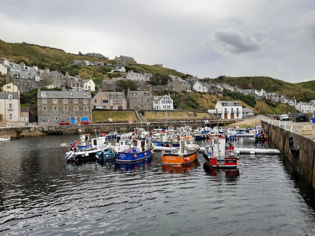
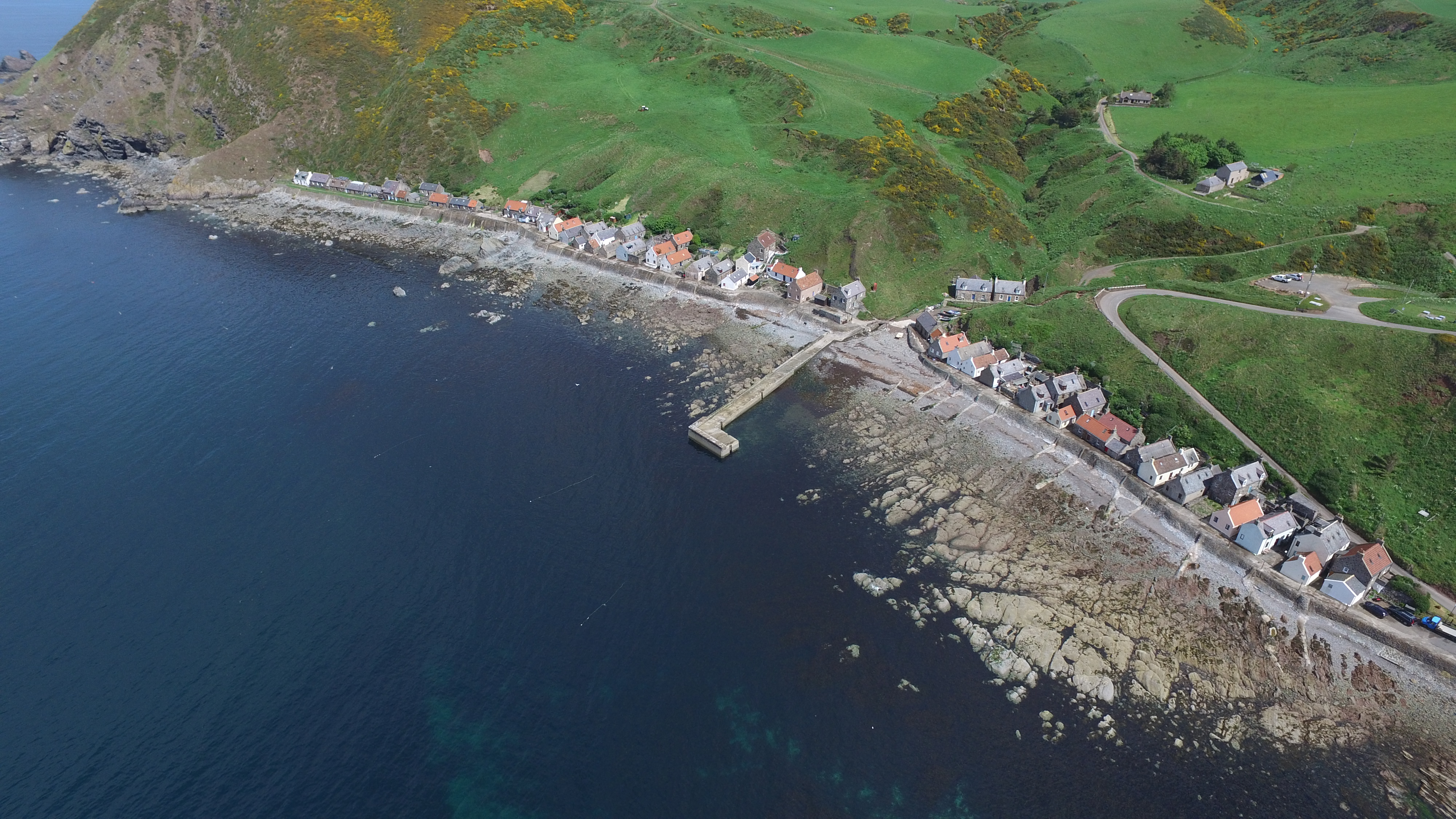
Black Craig Images
Images are sourced within 2km of 57.686793/-2.3276619 or Grid Reference NJ8066. Thanks to Geograph Open Source API. All images are credited.


Black Craig is located at Grid Ref: NJ8066 (Lat: 57.686793, Lng: -2.3276619)
Unitary Authority: Aberdeenshire
Police Authority: North East
What 3 Words
///hotspots.shipyards.relatives. Near Macduff, Aberdeenshire
Nearby Locations
Related Wikis
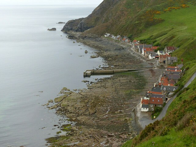
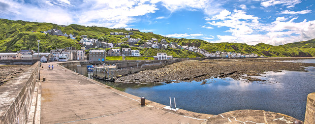
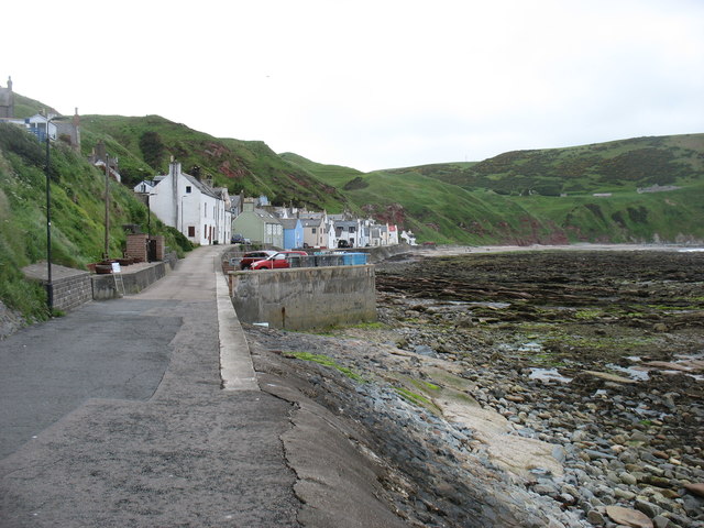
Crovie
Crovie is a small village in Aberdeenshire, Scotland, dating from the 18th century, a time when the sea was the only mode of transport to and from Scotland...

Gamrie Bay
Gamrie Bay is a bay in Aberdeenshire, Scotland. The bay is between Crovie Head and More Head. The villages of Gardenstown and Crovie are located within...

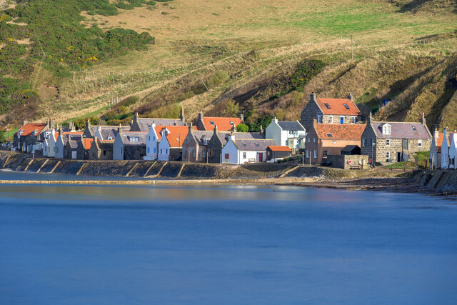
Gardenstown
Gardenstown (Scots: Gamrie) is a small coastal village, 8.7 miles (14.0 km) by road east of Banff in Aberdeenshire, northeastern Scotland. The village...

St John's Church, Gamrie
St John's Church is a ruined church and kirkyard in the parish of Gamrie, Aberdeenshire, Scotland. The church, dedicated to St John the Evangelist, was...

Dubford
Dubford is a small village in northern coastal Aberdeenshire, Scotland. Dubford is situated along the B9031 road approximately 6 kilometres (3.7 mi) east...

Pennan
Pennan (Scots: Peenan) is a small village in Aberdeenshire, Scotland, consisting of a small harbour and a single row of homes, including a hotel. It is...

Auchmeddan Castle
Auchmeddan Castle was a castle, most likely dating from the 16th century, now demolished, located 9 miles (14 km) west of Fraserburgh, at Mains of Auchmeddan...
Cairn Lee
Cairn Lee is a prehistoric monument in Aberdeenshire, Scotland. Cairn Lee and proximate Longman Hill are the oldest prehistoric features in the local area...
Nearby Amenities
Located within 500m of 57.686793,-2.3276619Have you been to Black Craig?
Leave your review of Black Craig below (or comments, questions and feedback).