Black Stones
Island in Banffshire
Scotland
Black Stones

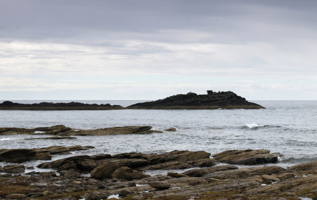
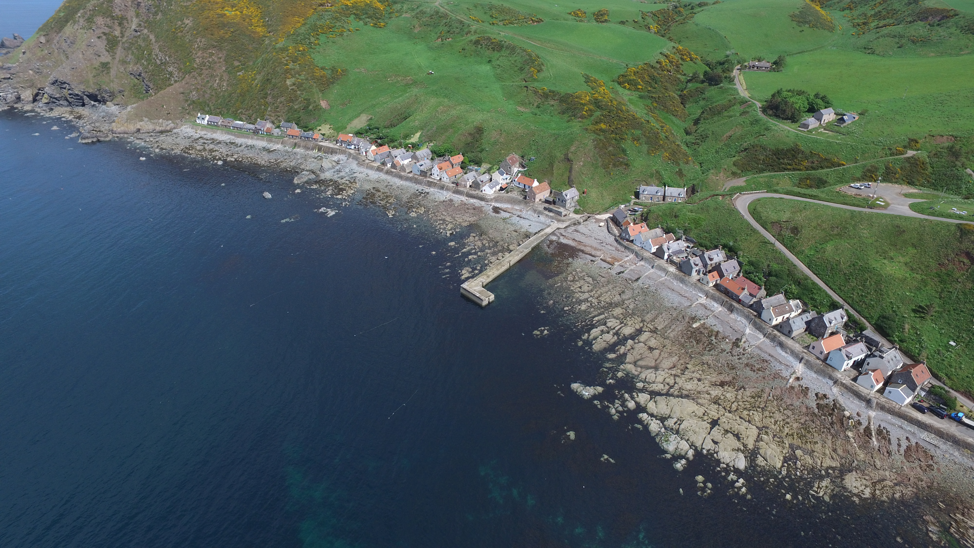
Black Stones is a small island located off the coast of Banffshire, Scotland. It is situated in the North Sea, approximately 2 miles east of Whitehills village. The island spans an area of around 3 acres and is known for its unique and distinct features.
The island gets its name from the black rock formations that dominate its landscape. These rocks, made of basalt, were formed millions of years ago from volcanic activity. They create a striking contrast against the surrounding blue sea and green vegetation. The island is also home to a variety of seabirds, including puffins, guillemots, and kittiwakes, which nest on the cliffs and rocks.
Access to Black Stones is limited, as it is only accessible by boat during low tide. The island has no permanent human population, but it is occasionally visited by tourists and researchers interested in its geology and wildlife. Due to its unique geological formations, Black Stones is recognized as a Site of Special Scientific Interest (SSSI) and is protected by conservation regulations.
The island offers breathtaking views of the Banffshire coastline and is a popular spot for birdwatching and photography. Visitors can explore the rugged cliffs and observe the diverse marine life in the surrounding waters. However, caution must be exercised while visiting, as the terrain can be treacherous and the weather conditions unpredictable.
In conclusion, Black Stones is a small but captivating island off the coast of Banffshire, renowned for its black rock formations, diverse birdlife, and stunning coastal scenery.
If you have any feedback on the listing, please let us know in the comments section below.
Black Stones Images
Images are sourced within 2km of 57.678505/-2.3297669 or Grid Reference NJ8065. Thanks to Geograph Open Source API. All images are credited.


Black Stones is located at Grid Ref: NJ8065 (Lat: 57.678505, Lng: -2.3297669)
Unitary Authority: Aberdeenshire
Police Authority: North East
What 3 Words
///pace.points.sniff. Near Macduff, Aberdeenshire
Nearby Locations
Related Wikis
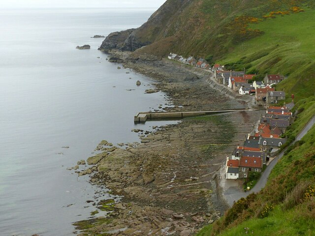
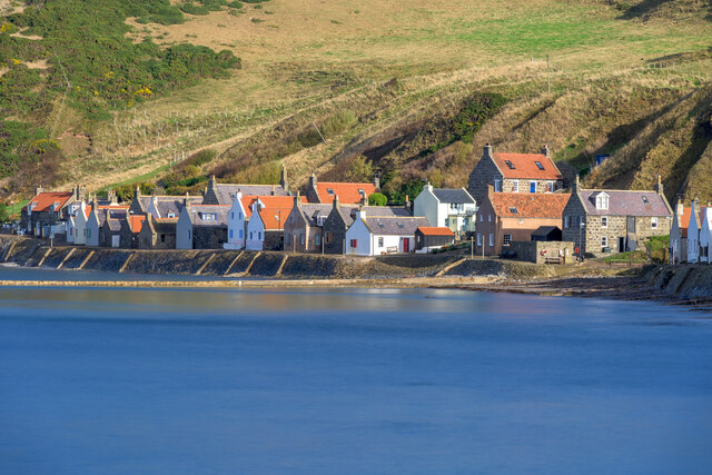
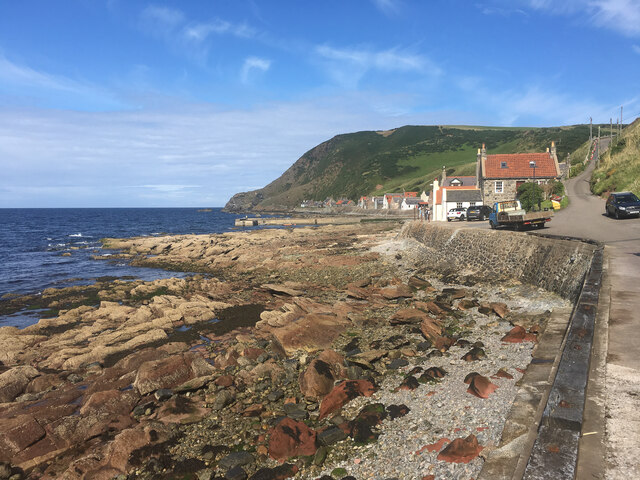
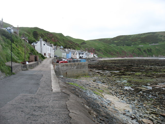
Crovie
Crovie is a small village in Aberdeenshire, Scotland, dating from the 18th century, a time when the sea was the only mode of transport to and from Scotland...

Gamrie Bay
Gamrie Bay is a bay in Aberdeenshire, Scotland. The bay is between Crovie Head and More Head. The villages of Gardenstown and Crovie are located within...

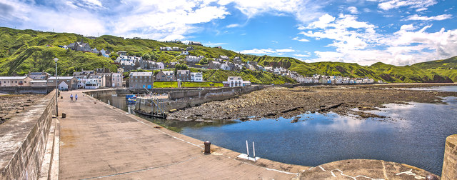
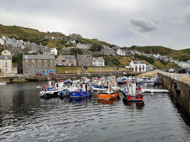
Gardenstown
Gardenstown (Scots: Gamrie) is a small coastal village, 8.7 miles (14.0 km) by road east of Banff in Aberdeenshire, northeastern Scotland. The village...

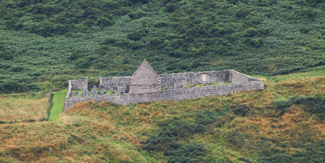
St John's Church, Gamrie
St John's Church is a ruined church and kirkyard in the parish of Gamrie, Aberdeenshire, Scotland. The church, dedicated to St John the Evangelist, was...

Dubford
Dubford is a small village in northern coastal Aberdeenshire, Scotland. Dubford is situated along the B9031 road approximately 6 kilometres (3.7 mi) east...

Pennan
Pennan (Scots: Peenan) is a small village in Aberdeenshire, Scotland, consisting of a small harbour and a single row of homes, including a hotel. It is...

Auchmeddan Castle
Auchmeddan Castle was a castle, most likely dating from the 16th century, now demolished, located 9 miles (14 km) west of Fraserburgh, at Mains of Auchmeddan...
Cairn Lee
Cairn Lee is a prehistoric monument in Aberdeenshire, Scotland. Cairn Lee and proximate Longman Hill are the oldest prehistoric features in the local area...
Nearby Amenities
Located within 500m of 57.678505,-2.3297669Have you been to Black Stones?
Leave your review of Black Stones below (or comments, questions and feedback).