Cable Tail
Island in Banffshire
Scotland
Cable Tail

Cable Tail is a small island located off the coast of Banffshire, Scotland. Situated in the North Sea, it is part of the larger group of islands known as the Scottish Isles. With a land area of approximately 10 acres, Cable Tail is a picturesque and secluded destination.
The island boasts stunning natural beauty, characterized by rocky cliffs, sandy beaches, and rolling green hills. It is home to a diverse range of flora and fauna, including various seabirds, seals, and even the occasional otter. The rugged coastline offers breathtaking views of the surrounding sea and neighboring islands.
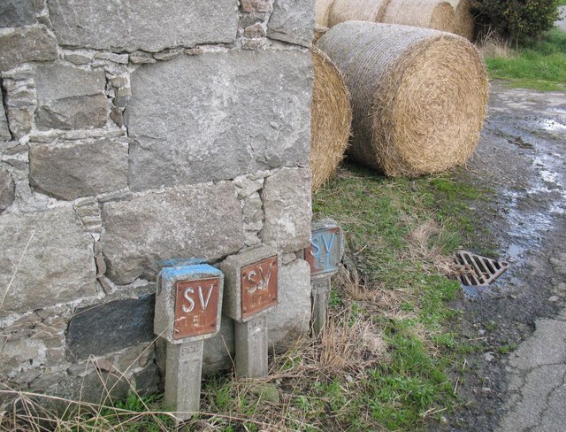
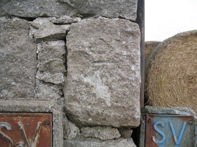
Access to Cable Tail is limited, with no bridge or ferry service available. However, the island is connected to the mainland by an underwater cable that provides electricity and telecommunications. This cable, which gives the island its name, is of vital importance to the residents and ensures their connection to the outside world.
The island has a small community of permanent residents, who primarily rely on fishing and tourism for their livelihoods. Visitors can experience the tranquility and unspoiled nature of Cable Tail by staying in one of the cozy cottages available for rent. The island offers opportunities for hiking, birdwatching, and beachcombing, making it an ideal destination for nature enthusiasts.
In summary, Cable Tail in Banffshire is a charming and secluded island characterized by its natural beauty, rugged coastline, and limited access. It provides a unique and peaceful retreat for those seeking a break from the hustle and bustle of mainland life.
If you have any feedback on the listing, please let us know in the comments section below.
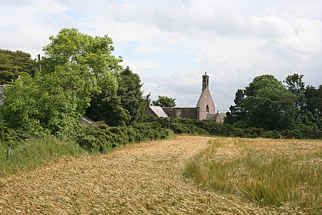
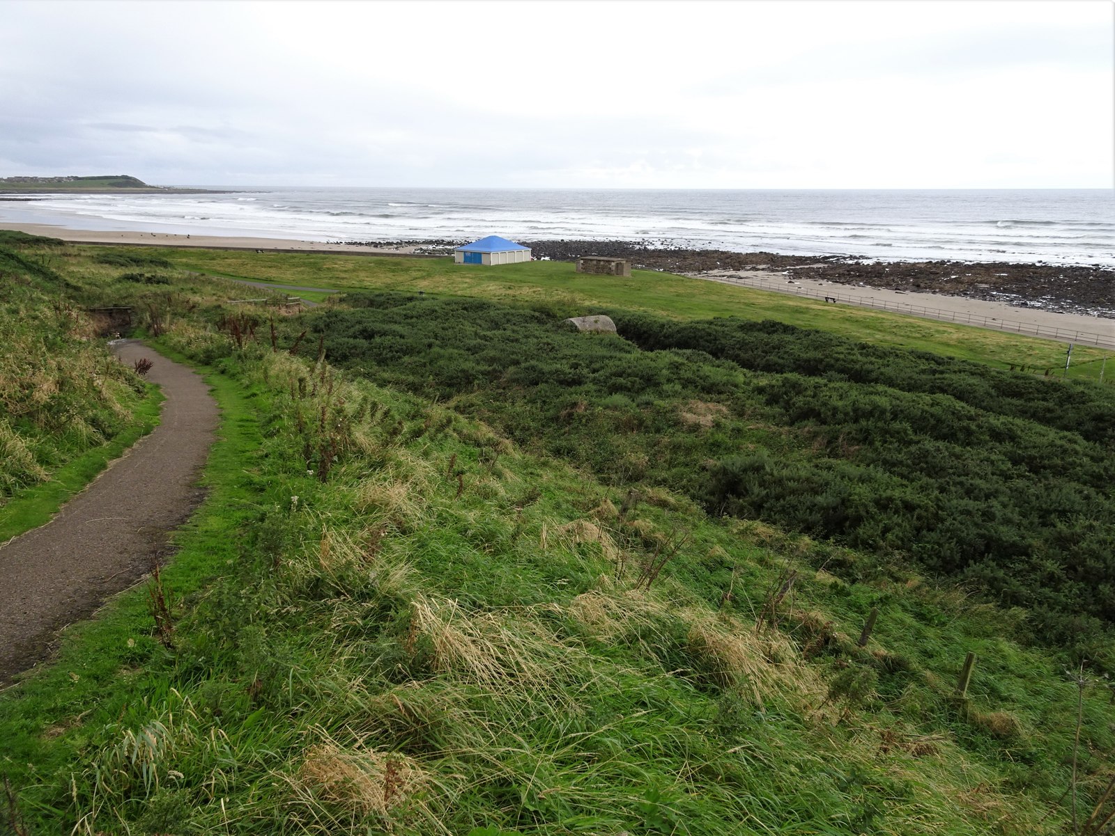
Cable Tail Images
Images are sourced within 2km of 57.679729/-2.5830269 or Grid Reference NJ6565. Thanks to Geograph Open Source API. All images are credited.


Cable Tail is located at Grid Ref: NJ6565 (Lat: 57.679729, Lng: -2.5830269)
Unitary Authority: Aberdeenshire
Police Authority: North East
What 3 Words
///device.uncouth.spine. Near Whitehills, Aberdeenshire
Nearby Locations
Related Wikis
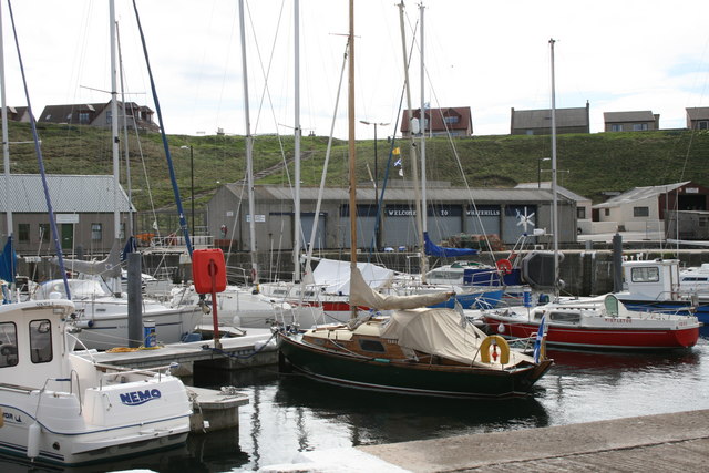
Whitehills
Whitehills is a small fishing village in Banffshire, Scotland, that lies three miles (five kilometres) west of Banff on the Moray Firth. It forms part...

Ladysbridge Hospital
Ladysbridge Hospital was a mental health facility near Banff, Aberdeenshire, Scotland. The former hospital is a Category B listed building. == History... ==

Banff distillery
Banff distillery was a producer of single malt Scotch whisky that operated between 1863 and 1983. == History == The first distillery to use the name "Banff...

Bridgefoot Halt railway station
Bridgefoot Halt railway station was opened in 1914. The halt was in the settlement of Bridgefoot close to the town of Banff. The line from Tillynaught...

Ladysbridge railway station
Ladysbridge railway station was a station in Aberdeenshire, Scotland. Opened as Lady's Bridge railway station in 1859 it was renamed Ladysbridge railway...
Boyndie
Boyndie is a village in Aberdeenshire, Scotland. == History == Boyndie was once home to RAF Banff Strike Wing, which played a pivotal role in protecting...
Golf Club House Halt railway station
Golf Club House Halt railway station, also known as Banff Golf House Halt railway station was opened in 1914. The halt was located close to the town of...
Banff Academy
Banff Academy is a S1–S6 secondary school in Banff, Aberdeenshire, Scotland. It serves the towns of Banff, Macduff, Whitehills, Portsoy, Aberchirder, Gardenstown...
Nearby Amenities
Located within 500m of 57.679729,-2.5830269Have you been to Cable Tail?
Leave your review of Cable Tail below (or comments, questions and feedback).