Craig Neen
Island in Banffshire
Scotland
Craig Neen

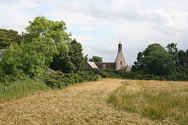
Craig Neen is a small island located off the northeastern coast of Scotland in Banffshire. It is situated in the Moray Firth, approximately 3 kilometers from the mainland. The island covers an area of about 2 square kilometers and is predominantly made up of rugged, rocky terrain.
Despite its small size, Craig Neen boasts a rich history. The island was once home to a small fishing community, and remnants of old cottages and fishing equipment can still be found scattered across the landscape. In the past, the island's inhabitants relied heavily on the sea for sustenance, making a living from fishing and gathering seaweed.
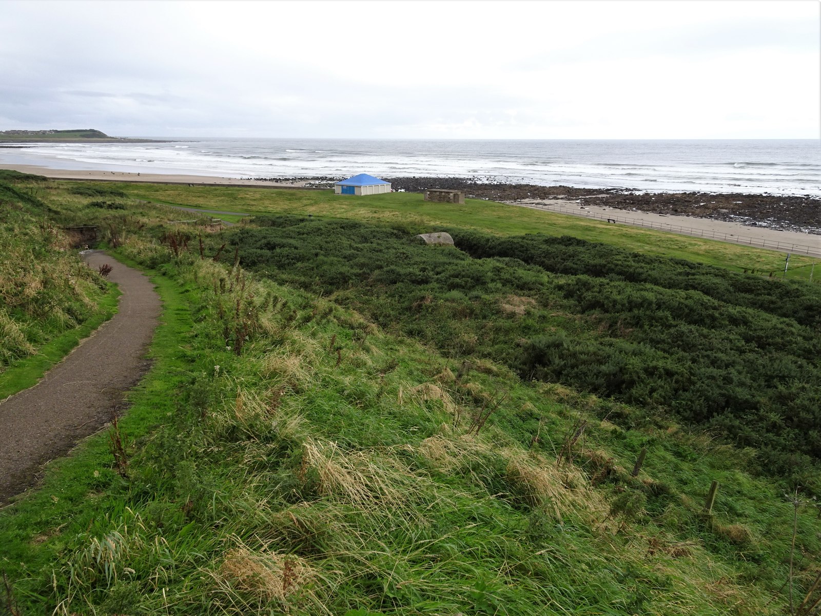
Today, Craig Neen is uninhabited, and its main attraction lies in its natural beauty and tranquility. The island offers breathtaking views of the surrounding coastline, with picturesque cliffs and stunning sea stacks. The rugged landscape provides an ideal habitat for various bird species, including puffins and guillemots, making it a popular spot for birdwatching.
Access to Craig Neen is restricted due to its remote location and lack of facilities. However, the island can be reached by boat or kayak, offering visitors a chance to explore its rugged shores and observe the abundant wildlife. It is important to note that visitors should come prepared, as there are no amenities or services available on the island.
In summary, Craig Neen in Banffshire is a small, uninhabited island with a rich history and stunning natural beauty. It offers a peaceful retreat and a unique opportunity to immerse oneself in the rugged coastal landscapes of northeastern Scotland.
If you have any feedback on the listing, please let us know in the comments section below.
Craig Neen Images
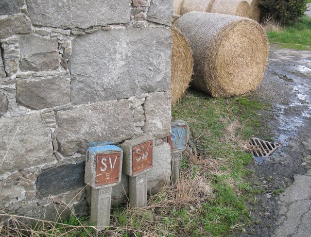
Images are sourced within 2km of 57.680237/-2.5859528 or Grid Reference NJ6565. Thanks to Geograph Open Source API. All images are credited.


Craig Neen is located at Grid Ref: NJ6565 (Lat: 57.680237, Lng: -2.5859528)
Unitary Authority: Aberdeenshire
Police Authority: North East
What 3 Words
///tilts.brief.ditching. Near Whitehills, Aberdeenshire
Nearby Locations
Related Wikis
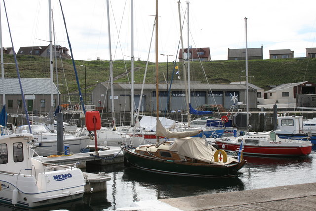
Whitehills
Whitehills is a small fishing village in Banffshire, Scotland, that lies three miles (five kilometres) west of Banff on the Moray Firth. It forms part...

Ladysbridge Hospital
Ladysbridge Hospital was a mental health facility near Banff, Aberdeenshire, Scotland. The former hospital is a Category B listed building. == History... ==

Banff distillery
Banff distillery was a producer of single malt Scotch whisky that operated between 1863 and 1983. == History == The first distillery to use the name "Banff...

Ladysbridge railway station
Ladysbridge railway station was a station in Aberdeenshire, Scotland. Opened as Lady's Bridge railway station in 1859 it was renamed Ladysbridge railway...
Boyndie
Boyndie is a village in Aberdeenshire, Scotland. == History == Boyndie was once home to RAF Banff Strike Wing, which played a pivotal role in protecting...

Bridgefoot Halt railway station
Bridgefoot Halt railway station was opened in 1914. The halt was in the settlement of Bridgefoot close to the town of Banff. The line from Tillynaught...
Golf Club House Halt railway station
Golf Club House Halt railway station, also known as Banff Golf House Halt railway station was opened in 1914. The halt was located close to the town of...
RAF Banff
Royal Air Force Banff or more simply RAF Banff is a former Royal Air Force station located 4 miles (6 km) west of Banff, Aberdeenshire, Scotland and 14...
Nearby Amenities
Located within 500m of 57.680237,-2.5859528Have you been to Craig Neen?
Leave your review of Craig Neen below (or comments, questions and feedback).