St Baldred's Boat
Island in East Lothian
Scotland
St Baldred's Boat
St Baldred's Boat is a small tidal island located off the coast of East Lothian, Scotland. It is situated in the Firth of Forth, approximately 5 miles east of North Berwick. The island is named after Saint Baldred, a 6th-century Northumbrian saint who is believed to have used the island as a retreat and place of worship.
Measuring about 300 meters in length and 70 meters at its widest point, St Baldred's Boat takes the shape of an elongated boat when viewed from above, hence its name. The island is composed of rocky terrain, with some patches of grass and low vegetation. It is accessible during low tide, but completely submerged during high tide, which adds to its mystique and allure.
The island holds historical significance, as it is believed to have been a site of religious significance for centuries. Saint Baldred, also known as Saint Balthere, is said to have established a hermitage on the island, where he lived and preached to the local community. Today, the remains of a small chapel, possibly dating back to the medieval period, can still be found on the island.
St Baldred's Boat is a popular destination for visitors, particularly those interested in history, nature, and photography. It provides an opportunity to explore a unique tidal island, experience the tranquility of its surroundings, and learn about the religious heritage of the area. However, it is important for visitors to plan their trip carefully, as the island can only be accessed during specific times of the day when the tide is low.
If you have any feedback on the listing, please let us know in the comments section below.
St Baldred's Boat Images
Images are sourced within 2km of 56.055973/-2.6246324 or Grid Reference NT6184. Thanks to Geograph Open Source API. All images are credited.


St Baldred's Boat is located at Grid Ref: NT6184 (Lat: 56.055973, Lng: -2.6246324)
Unitary Authority: East Lothian
Police Authority: The Lothians and Scottish Borders
What 3 Words
///intestine.done.fools. Near North Berwick, East Lothian
Nearby Locations
Related Wikis
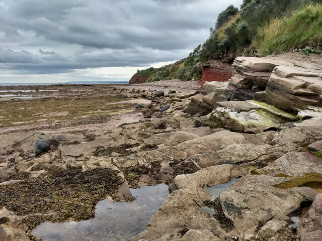
Seacliff
Seacliff comprises a beach, an estate and a harbour. It lies 4 miles (6 kilometres) east of North Berwick, East Lothian, Scotland. == History == The beach...
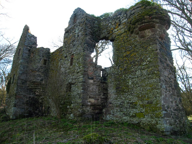
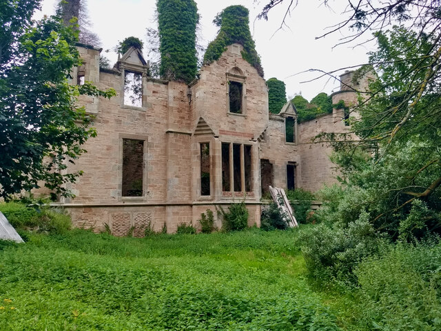
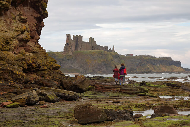
Auldhame Castle
Auldhame Castle is a ruined L-plan tower house standing on a ridge above Seacliff beach, about 3 miles east of North Berwick in East Lothian, and less...
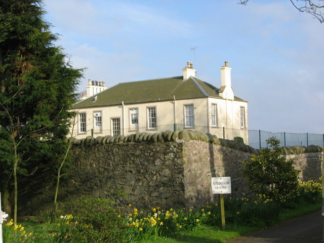
Auldhame & Scoughall
Auldhame and Scoughall are hamlets in East Lothian, Scotland. They are close to the town of North Berwick and the village of Whitekirk, and are approximately...

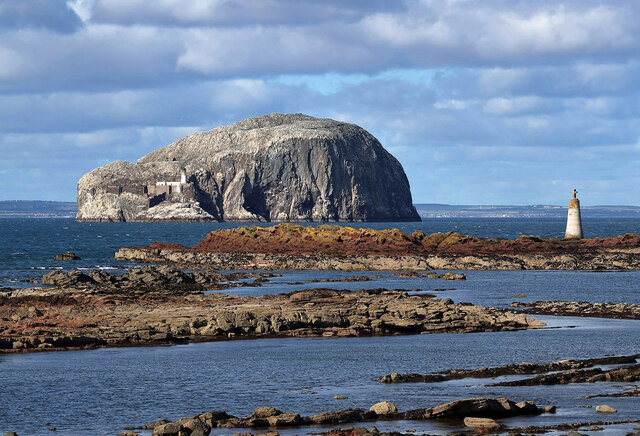
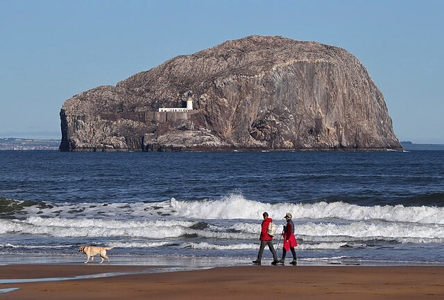
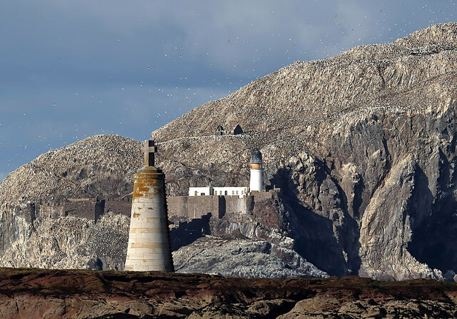
Bass Rock Lighthouse
The Bass Rock Lighthouse on Bass Rock is a 20-metre (66 ft) lighthouse, built in 1902 by David Stevenson, who demolished the 13th-century keep, or governor...

Canty Bay
Canty Bay is a small inlet and coastal hamlet on the northern coast of East Lothian, Scotland. It is 2 miles (3.2 km) east of North Berwick and is opposite...
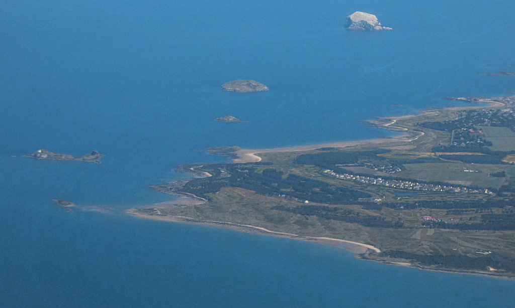
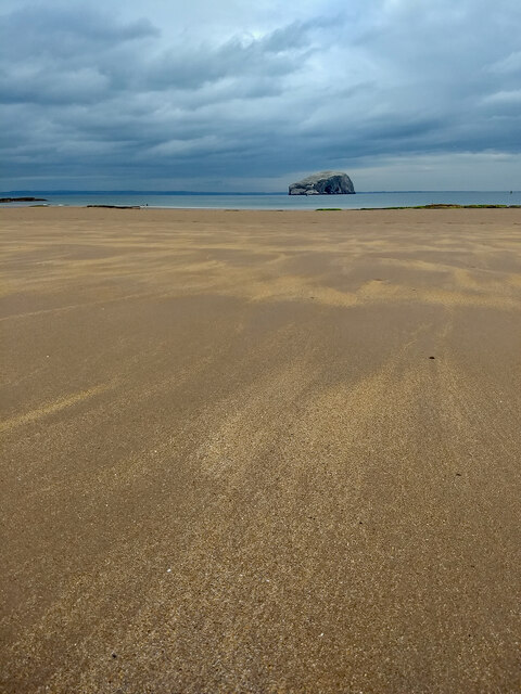
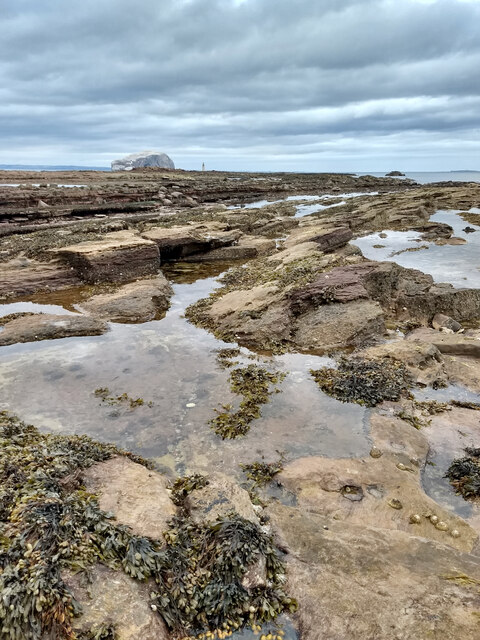
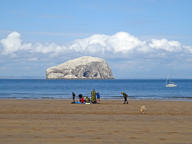
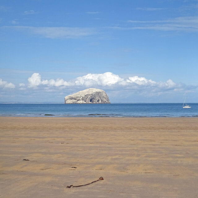
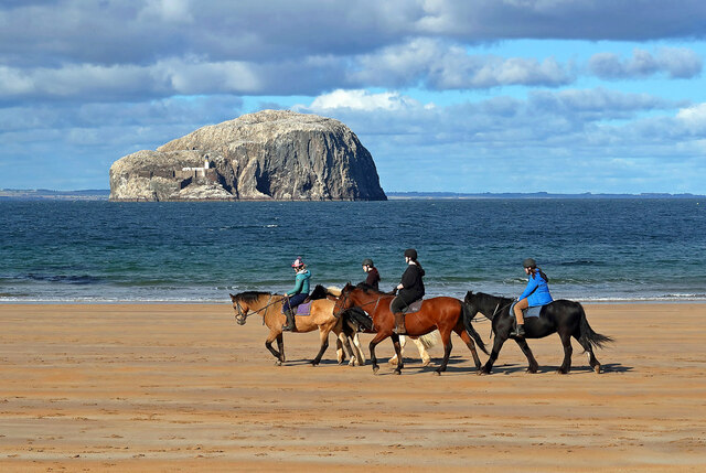
Bass Rock
The Bass Rock, or simply the Bass ( ), (Scottish Gaelic: Creag nam Bathais or Scottish Gaelic: Am Bas) is an island in the outer part of the Firth of Forth...

Whitekirk and Tyninghame
Whitekirk and Tyninghame is a civil parish in East Lothian, Scotland, which takes its name from the two small settlements of Whitekirk and Tyninghame....

Whitekirk
Whitekirk is a small settlement in East Lothian, Scotland. Together with the nearby settlement of Tyninghame, it gives its name to the parish of Whitekirk...
Nearby Amenities
Located within 500m of 56.055973,-2.6246324Have you been to St Baldred's Boat?
Leave your review of St Baldred's Boat below (or comments, questions and feedback).