Leap Rocks
Island in East Lothian
Scotland
Leap Rocks
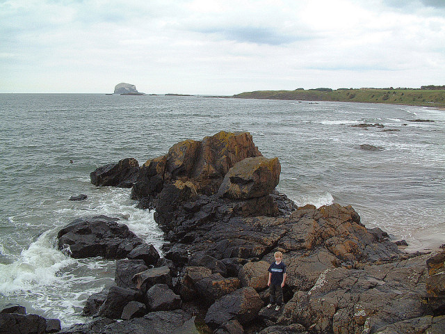
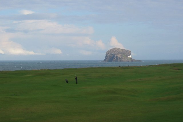
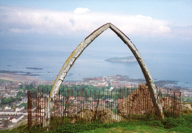
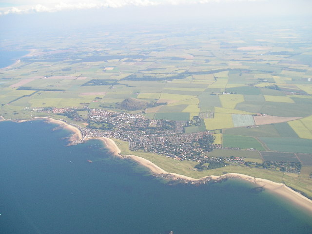
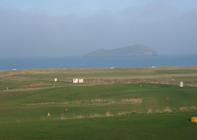
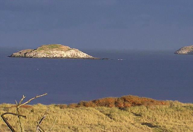
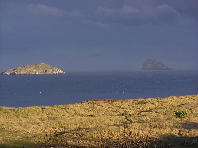
Leap Rocks is a small island located off the coast of East Lothian, Scotland. Situated in the Firth of Forth, it is part of a group of islands known as the Firth of Forth Islands Nature Reserve. This rocky outcrop spans roughly 2 hectares and is accessible only by boat.
The island is renowned for its unique geology, consisting of a series of rugged cliffs and rock formations. These formations, known as "leap rocks," give the island its name. The rocks are composed mainly of sandstone and shale, with some areas featuring exposed layers of fossil-rich sediment.
Leap Rocks is a haven for a diverse range of marine and avian wildlife. The surrounding waters are teeming with marine life, including seals, dolphins, and various species of fish. The island's cliffs provide nesting sites for numerous seabirds, such as guillemots, razorbills, and kittiwakes. During the breeding season, the island is particularly busy with these birds, creating a cacophony of calls and a vibrant atmosphere.
Access to Leap Rocks is restricted to protect its fragile ecosystem. However, visitors can still appreciate the island's beauty from the water, either by taking a boat tour or kayaking around its perimeter. The island's proximity to the mainland makes it a popular destination for nature enthusiasts, birdwatchers, and photographers.
Leap Rocks offers a unique opportunity to experience Scotland's coastal wildlife and witness the power of nature in shaping the landscape. Its geological features and abundant wildlife make it a must-visit destination for those seeking an immersive natural experience in East Lothian.
If you have any feedback on the listing, please let us know in the comments section below.
Leap Rocks Images
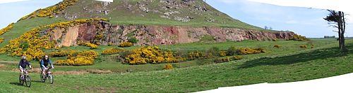
Images are sourced within 2km of 56.063015/-2.7237401 or Grid Reference NT5585. Thanks to Geograph Open Source API. All images are credited.

Leap Rocks is located at Grid Ref: NT5585 (Lat: 56.063015, Lng: -2.7237401)
Unitary Authority: East Lothian
Police Authority: The Lothians and Scottish Borders
What 3 Words
///blotting.mental.confused. Near North Berwick, East Lothian
Nearby Locations
Related Wikis

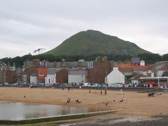
North Berwick Harbour
The Harbour at North Berwick in East Lothian, Scotland, was originally a ferry port for pilgrims travelling to St Andrews in Fife. Today the water is home...
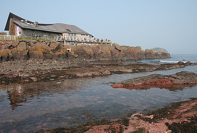
Scottish Seabird Centre
The Scottish Seabird Centre is a marine conservation and education charity, that is supported by a 5 star visitor attraction in North Berwick, East Lothian...
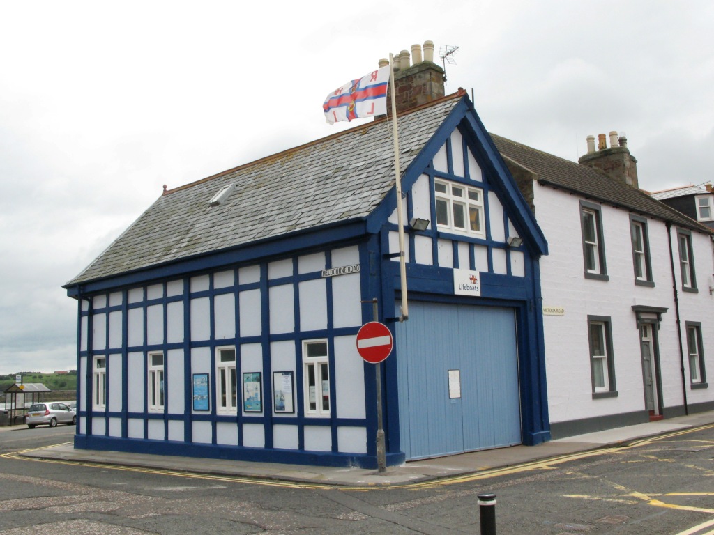
North Berwick Lifeboat Station
North Berwick Lifeboat Station is a Royal National Lifeboat Institution (RNLI) marine-rescue facility in North Berwick, East Lothian, Scotland. The RNLI...
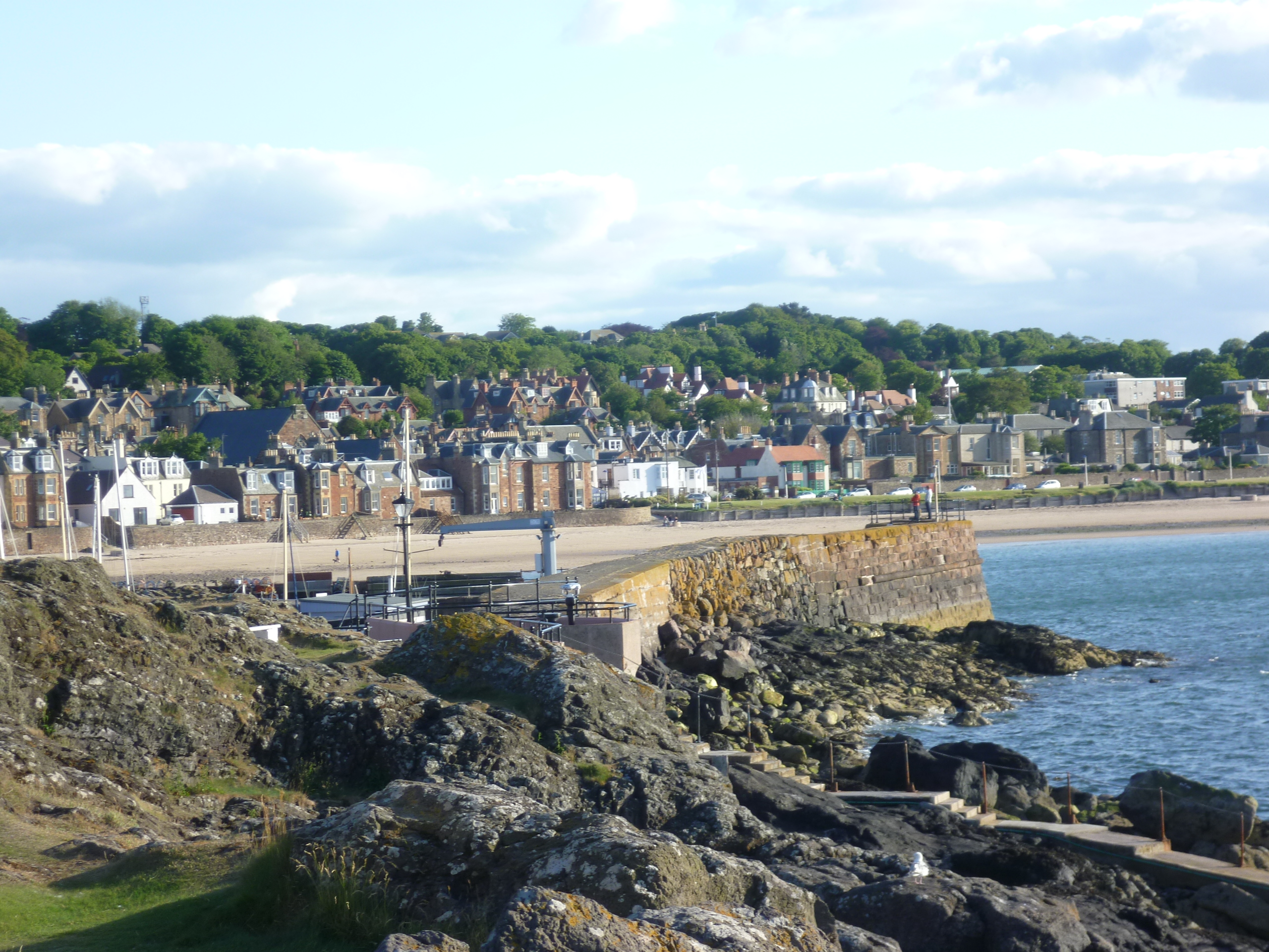
North Berwick
North Berwick (; Scottish Gaelic: Bearaig a Tuath) is a seaside town and former royal burgh in East Lothian, Scotland. It is situated on the south shore...
Nearby Amenities
Located within 500m of 56.063015,-2.7237401Have you been to Leap Rocks?
Leave your review of Leap Rocks below (or comments, questions and feedback).