South Dog
Island in East Lothian
Scotland
South Dog
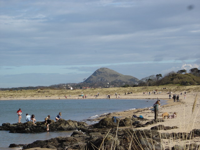
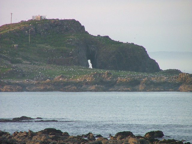
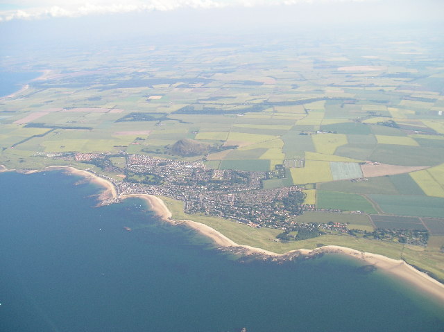
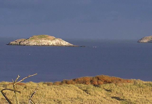
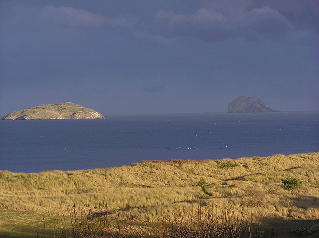
South Dog is a small uninhabited island located off the coast of East Lothian, Scotland. Situated in the Firth of Forth, it is part of a group of islands known as the Firth of Forth Islands. South Dog covers an area of approximately 9 hectares and is primarily composed of rugged cliffs and rocky terrain.
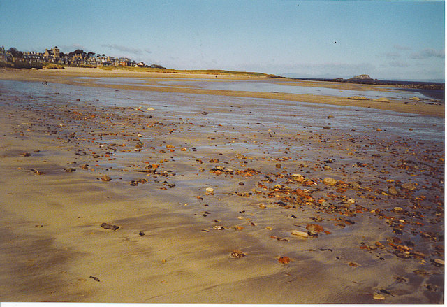
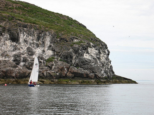
The island is accessible only by boat and is a popular destination for birdwatchers and wildlife enthusiasts. It is home to a variety of seabird species, including guillemots, razorbills, and puffins, which nest on the cliffs during the breeding season. The surrounding waters of South Dog also support a diverse marine ecosystem, with seals often spotted basking on nearby rocks.
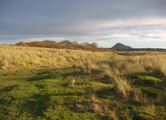
South Dog is known for its picturesque landscapes and stunning views of the coastline. Visitors can explore the island's rugged terrain, taking in the dramatic cliffs and rocky shores. However, caution is advised, as some areas may be steep and unstable.
Due to its remote location and lack of facilities, South Dog is not suitable for overnight stays or recreational activities other than wildlife observation. It is important for visitors to respect the island's fragile ecosystem and adhere to any conservation measures in place.
Overall, South Dog offers a unique opportunity to experience the natural beauty and wildlife of Scotland's East Lothian region. Its untouched landscapes and abundant avian life make it a haven for nature lovers seeking a tranquil escape from the mainland.
If you have any feedback on the listing, please let us know in the comments section below.
South Dog Images
Images are sourced within 2km of 56.069198/-2.7490583 or Grid Reference NT5386. Thanks to Geograph Open Source API. All images are credited.


South Dog is located at Grid Ref: NT5386 (Lat: 56.069198, Lng: -2.7490583)
Unitary Authority: East Lothian
Police Authority: The Lothians and Scottish Borders
What 3 Words
///armful.chiefs.townhouse. Near North Berwick, East Lothian
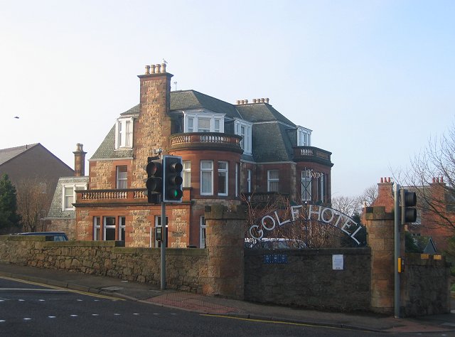
Nearby Locations
Related Wikis

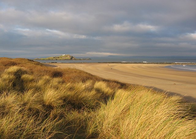
Lamb (island)
Lamb, sometimes called Lamb Island or The Lamb, is a small uninhabited island measuring approximately 100 by 50 metres (330 ft × 160 ft), between the islands...

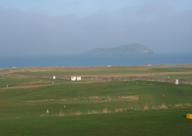
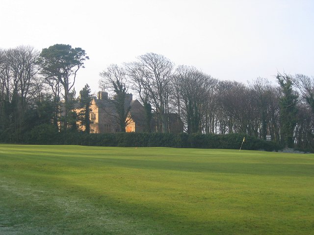
North Berwick West Links
One of two golf courses within North Berwick, the West Links is by far the more renowned. It regularly holds various championships and is used as a qualifying...

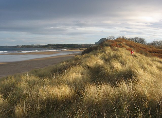
Yellowcraig
Yellowcraig, also known as Broad Sands Beach, is a coastal area of forest, beach and grassland in East Lothian, south-east Scotland. Yellowcraig is partly...

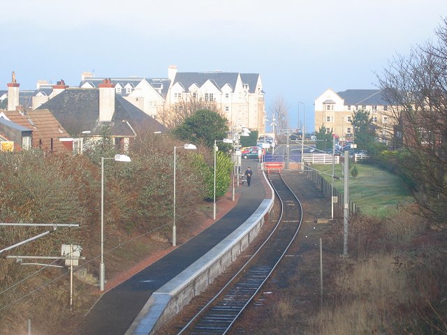
North Berwick railway station
North Berwick railway station is a railway station serving the seaside town of North Berwick in East Lothian, Scotland. It is the terminus of the Edinburgh...
Nearby Amenities
Located within 500m of 56.069198,-2.7490583Have you been to South Dog?
Leave your review of South Dog below (or comments, questions and feedback).