Arthur's Point
Island in Banffshire
Scotland
Arthur's Point
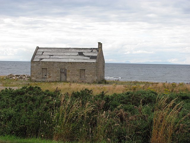
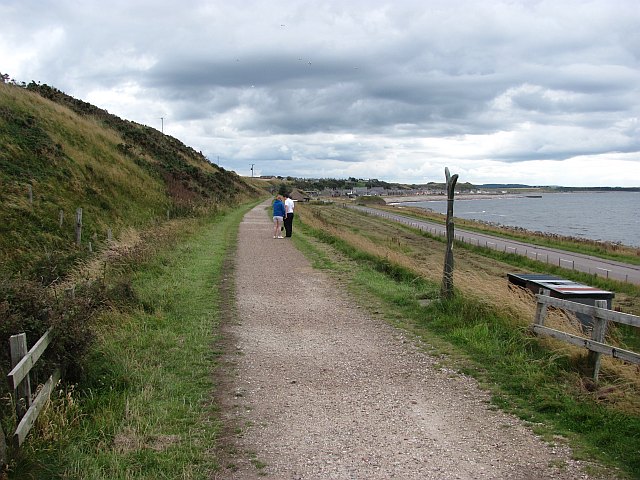
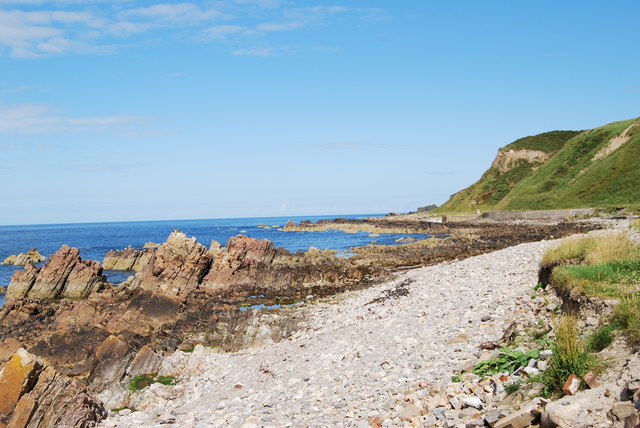
Arthur's Point is a small island located in the Banffshire region of Scotland. Situated in the North Sea, it is one of the many islands that form the Scottish archipelago. The island boasts a rugged and picturesque landscape, characterized by rolling hills, cliffs, and rocky shorelines.
Covering an area of approximately 2 square miles, Arthur's Point is relatively sparsely populated, with only a handful of residents calling it home. The island is accessible by boat from nearby coastal towns, and its isolation offers a sense of tranquility and seclusion to visitors.
Nature enthusiasts will find Arthur's Point to be a haven for wildlife. The island is home to a diverse range of bird species, including puffins, guillemots, and kittiwakes. Seals can often be spotted lounging on the rocks along the coast, while dolphins and porpoises occasionally grace the surrounding waters.
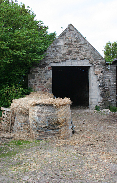
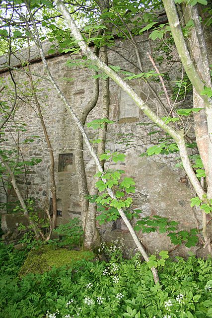
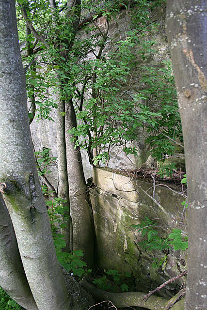
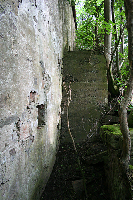
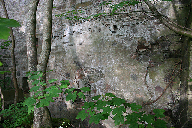
Historically, Arthur's Point has been associated with mythical tales and legends. The island is said to be named after King Arthur, who, according to folklore, used it as a hiding place during battles. Ruins of an ancient castle, believed to have been a stronghold of Arthur himself, can still be found on the island. These remnants serve as a reminder of the island's rich history and add an air of intrigue to its already captivating landscape.
Overall, Arthur's Point offers visitors a unique opportunity to escape the hustle and bustle of everyday life and immerse themselves in the unspoiled beauty of the Scottish coastal wilderness.
If you have any feedback on the listing, please let us know in the comments section below.
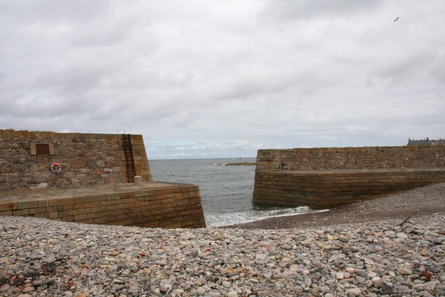
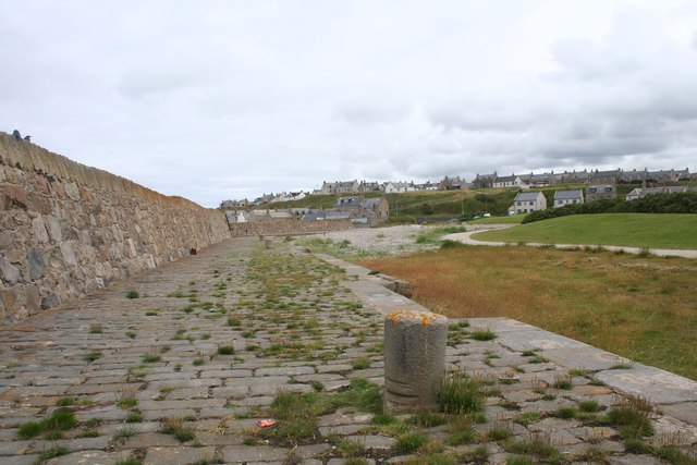
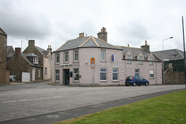
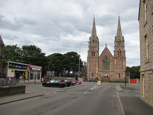
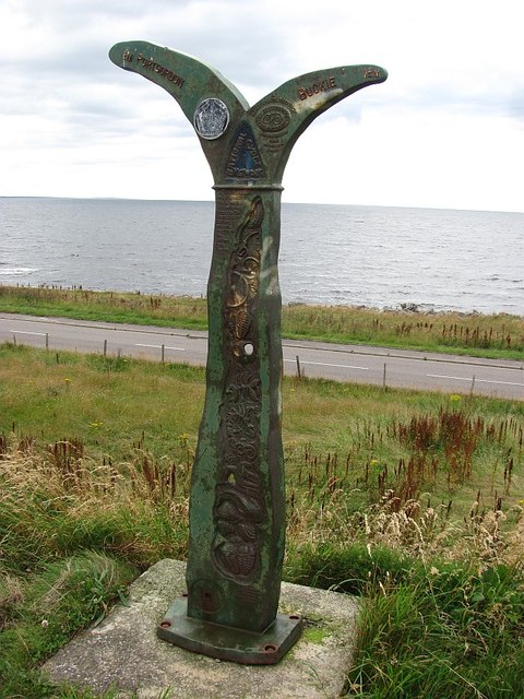
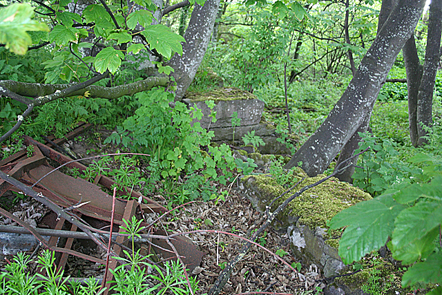
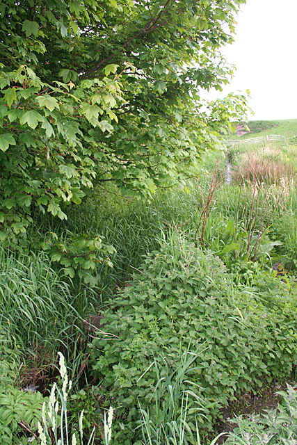
Arthur's Point Images
Images are sourced within 2km of 57.672688/-2.9970679 or Grid Reference NJ4065. Thanks to Geograph Open Source API. All images are credited.
Arthur's Point is located at Grid Ref: NJ4065 (Lat: 57.672688, Lng: -2.9970679)
Unitary Authority: Moray
Police Authority: North East
What 3 Words
///pound.purse.shark. Near Buckie, Moray
Nearby Locations
Related Wikis
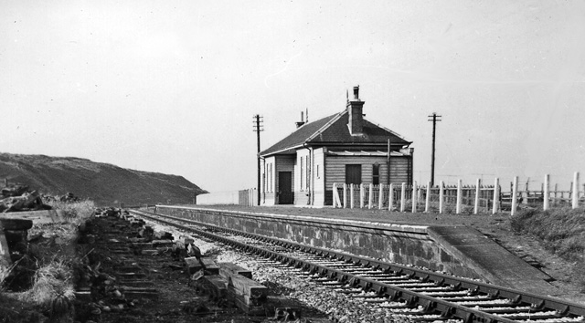
Buckpool railway station
Buckpool railway station was a railway station in Buckpool near Buckie in Moray. The railway station was opened by the Great North of Scotland Railway...

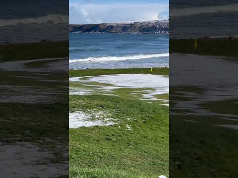
Buckpool Golf Club
Buckpool Golf Club is located in Buckie, Moray on the Moray Firth coast of Scotland. This 18 hole course is set out on a clifftop location at the extreme...
Seafield Hospital
Seafield Hospital is a community hospital in Buckie, Morayshire, Scotland. It is managed by NHS Grampian. == History == The hospital was officially opened...

St Peter's Roman Catholic Church, Buckie
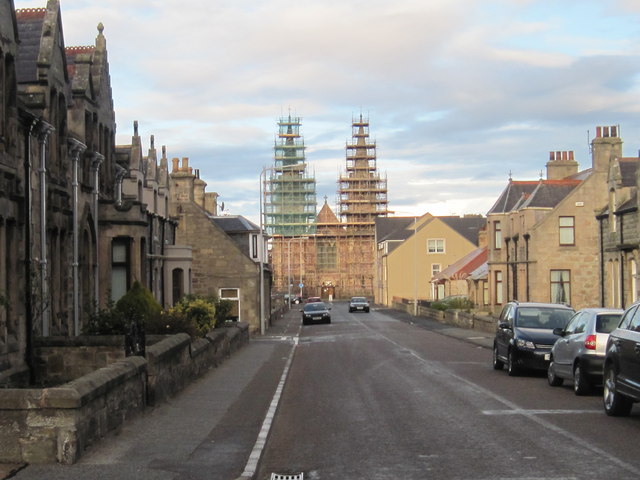
St Peter's Roman Catholic Church is a large mid-nineteenth century church in Buckie, Moray, Scotland. Known locally as the Buckie Cathedral, it was built...
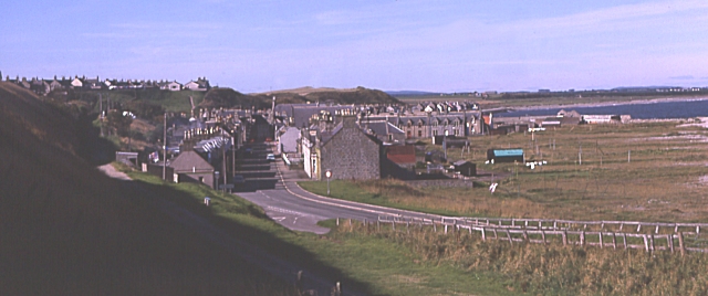
Portgordon
Portgordon, or sometimes Port Gordon, (Scottish Gaelic: Port Ghòrdain) is a village in Moray, Scotland, 2 km (1+1⁄4 mi) south-west of Buckie. It was established...
Buckie High School
Buckie High School is a mixed secondary school in Buckie, Moray, Scotland which has a roll of around 900 pupils in years S1 to S6. The school serves the...

Portgordon railway station
Portgordon railway station was a railway station in Portgordon in Moray, Scotland. The railway station was opened by the Great North of Scotland Railway...
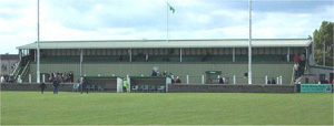
Victoria Park, Buckie
Victoria Park is a football ground in Buckie in north-east Scotland, which is the home ground of Highland Football League side Buckie Thistle. It is located...
Related Videos

12TH APRIL 2024 HOLIDAY STREAM
12TH APRIL 2024 HOLIDAY STREAM -- Watch live at https://www.twitch.tv/chocydj.

I failed to FASTPACK the SPEYSIDE WAY || One of SCOTLAND’S GREAT TRAILS
(trying to) Fastpacking the Speyside Way. One of SCOTLAND'S GREAT TRAILS The Speyside Way is one of Scotland's Great ...
Nearby Amenities
Located within 500m of 57.672688,-2.9970679Have you been to Arthur's Point?
Leave your review of Arthur's Point below (or comments, questions and feedback).