Men of Mey
Island in Caithness
Scotland
Men of Mey

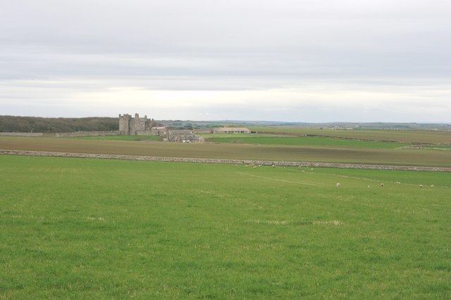
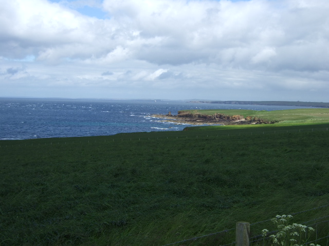
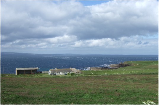
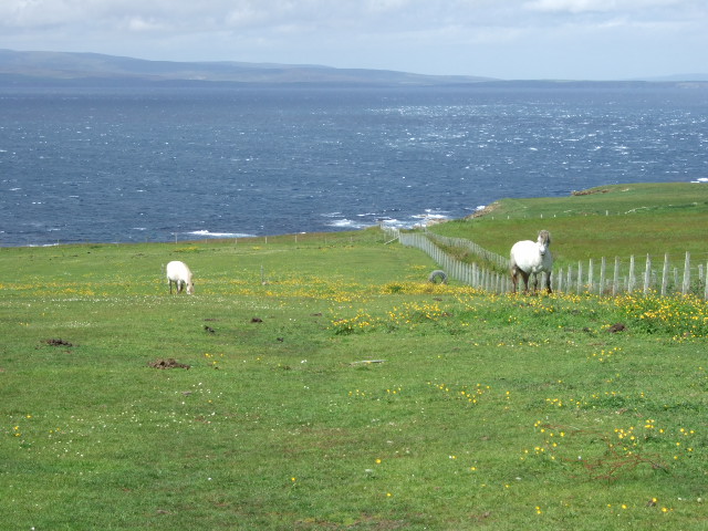
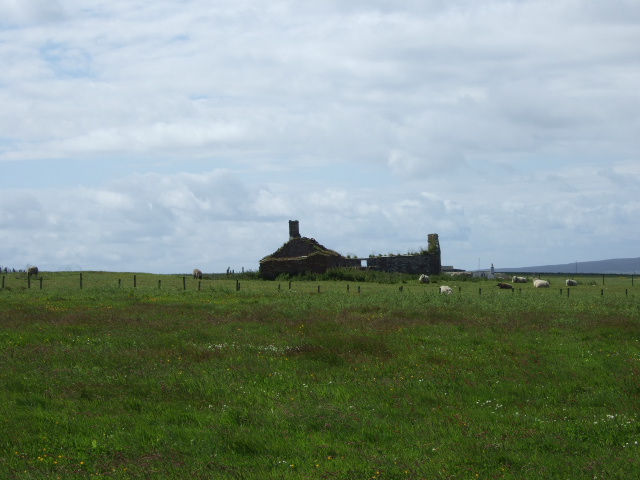
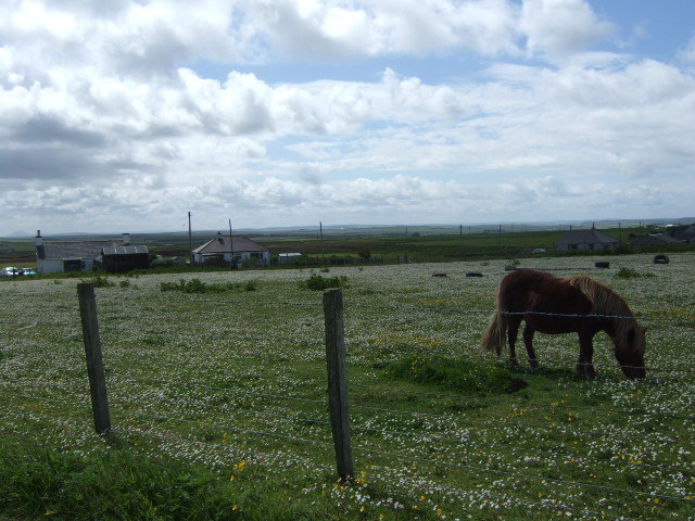
Men of Mey is a small uninhabited island located off the north coast of Caithness, Scotland. The island is situated approximately 1.5 miles east of the mainland, lying within the Pentland Firth. It covers an area of about 3 hectares and is composed mainly of grassy slopes and rocky cliffs.
The island derives its name from the Norse word "mey," meaning "maiden" or "girl." Historically, the island was used as a lookout point for Vikings and Norse settlers, who used its elevated position to scan the surrounding waters for potential threats or opportunities.
One of the notable features of Men of Mey is its iconic lighthouse, which was built in 1869 and stands at a height of 17 meters. The lighthouse was automated in 1987 and is now remotely controlled from Edinburgh. Men of Mey lighthouse serves as an important navigational aid for vessels navigating through the Pentland Firth, which is known for its strong tidal currents and challenging conditions.
Despite being uninhabited, the island is a popular destination for birdwatchers and nature enthusiasts due to its diverse bird population. Various species such as puffins, guillemots, razorbills, and fulmars can be spotted nesting on the cliffs and grassy slopes. The surrounding waters are also frequented by seals, dolphins, and occasionally, whales.
Access to the island is restricted, with no public landing facilities available. However, boat tours and wildlife cruises often pass by Men of Mey, allowing visitors to admire its natural beauty and observe the abundant wildlife from a distance.
If you have any feedback on the listing, please let us know in the comments section below.
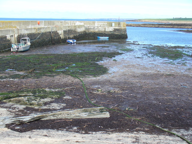
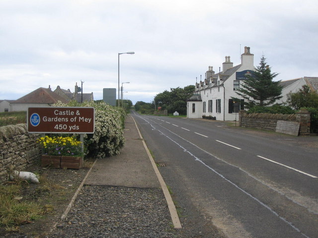
Men of Mey Images
Images are sourced within 2km of 58.661375/-3.190147 or Grid Reference ND3175. Thanks to Geograph Open Source API. All images are credited.


Men of Mey is located at Grid Ref: ND3175 (Lat: 58.661375, Lng: -3.190147)
Unitary Authority: Highland
Police Authority: Highlands and Islands
What 3 Words
///thank.dunes.palettes. Near John o' Groats, Highland
Nearby Locations
Related Wikis

East Mey
East Mey is a scattered crofting village in northern Caithness, Scottish Highlands and is in the Scottish council area of Highland. == References ==
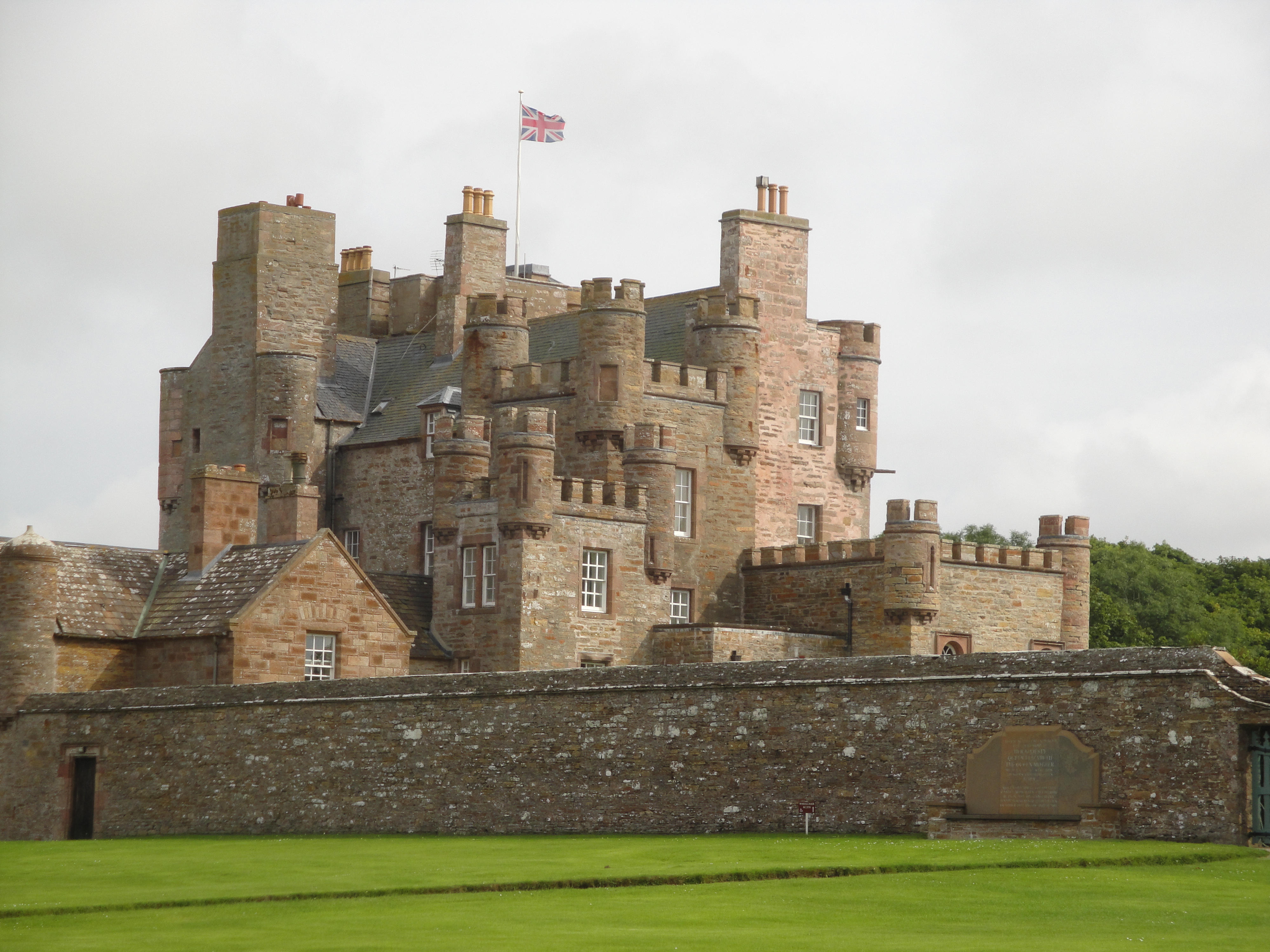
Castle of Mey
The Castle of Mey (also known for a time as Barrogill Castle) is located in Caithness, on the north coast of Scotland, about 6 miles (10 km) west of John...

Gills Bay
Gills Bay, which is situated about 3 mi (4.8 km) west of John o' Groats with the community of Gills close by, has one of the longest stretches of low-lying...

Gills, Caithness
Galltair is a remote coastal, scattered crofting township and former fishing village, on the north coast of Caithness, Scottish Highlands, in the Scottish...
Harrow, Caithness
Harrow is a hamlet on the north coast of Caithness, Scotland. It lies just to the west of the Castle of Mey and northeast of the Loch of Mey. Harrow Harbour...
Mey, Highland
Mey is a remote village, located on the north coast of Scotland in Caithness, Scottish Highlands and is in the Scottish council area of Highland.Mey lies...
MeyGen
MeyGen (full name MeyGen tidal energy project) will be the world's largest tidal energy plant, which is currently in construction. The first phase of the...

Canisbay Parish Church
Canisbay Parish Church is a Church of Scotland church in Canisbay, Scotland, that dates back to the early 1600s and is the most northernly church on mainland...
Nearby Amenities
Located within 500m of 58.661375,-3.190147Have you been to Men of Mey?
Leave your review of Men of Mey below (or comments, questions and feedback).