Barberry Head

Coastal Feature, Headland, Point in Caithness

Scotland

Barberry Head

Ploughed field, Long Goe Farm Long Goe Farm with the Pentland Firth and Hoy in the distance.
Ploughed field, Long Goe Farm Credit: Paul E Smith

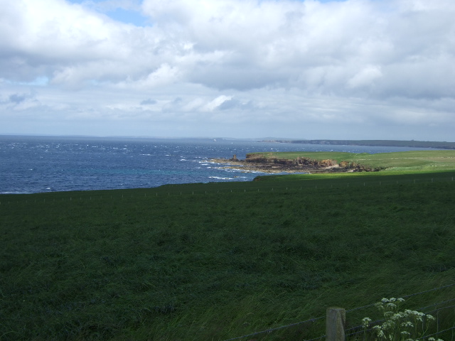
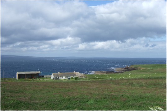
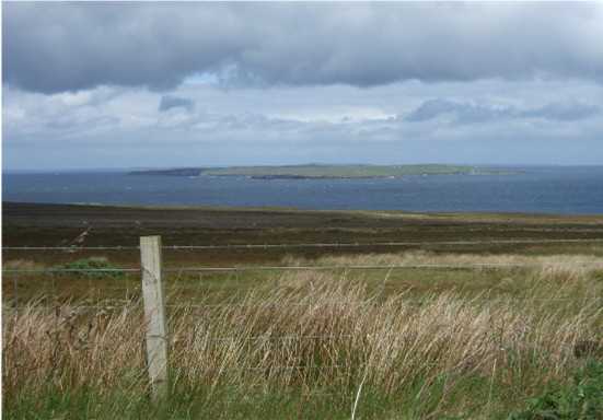
Barberry Head is a prominent headland located on the northern coast of Caithness, Scotland. It is situated approximately 4 miles northeast of the town of Thurso and offers breathtaking views of the North Atlantic Ocean. The headland is known for its rugged cliffs, which rise to a height of around 200 feet, providing a dramatic backdrop to the surrounding landscape.

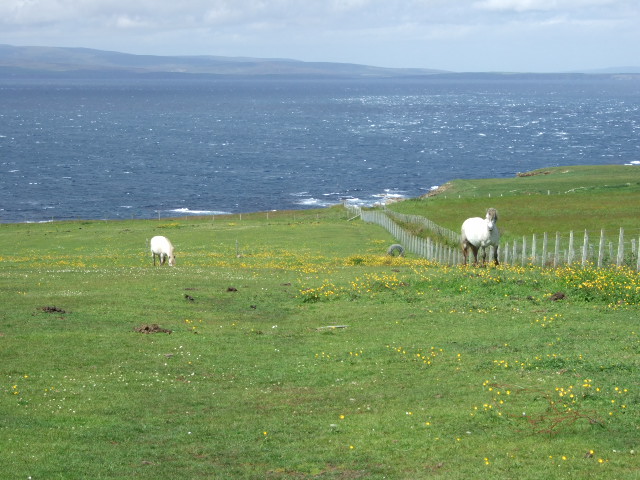
Barberry Head is composed mainly of Old Red Sandstone, a sedimentary rock formation that dates back to the Devonian period. This geological feature contributes to the headland's distinct reddish hue, particularly striking during sunset. The cliffs are home to a variety of seabirds, including fulmars, guillemots, and kittiwakes, making it a popular spot for birdwatchers.

Accessible via a well-maintained footpath, Barberry Head is a favorite destination for hikers and nature enthusiasts. Along the trail, visitors can enjoy the sight of wildflowers and grasses, adding to the scenic beauty of the area. At the tip of the headland, there is a lighthouse, built in 1892, which serves as a navigational aid for ships passing through the Pentland Firth.

The headland offers opportunities for outdoor activities such as walking, picnicking, and photography. Its exposed location also makes it an ideal spot for watching the waves crashing against the cliffs during stormy weather. Barberry Head provides a peaceful and picturesque escape from the hustle and bustle of urban life, allowing visitors to immerse themselves in the natural beauty and tranquility of the Caithness coastline.

If you have any feedback on the listing, please let us know in the comments section below.

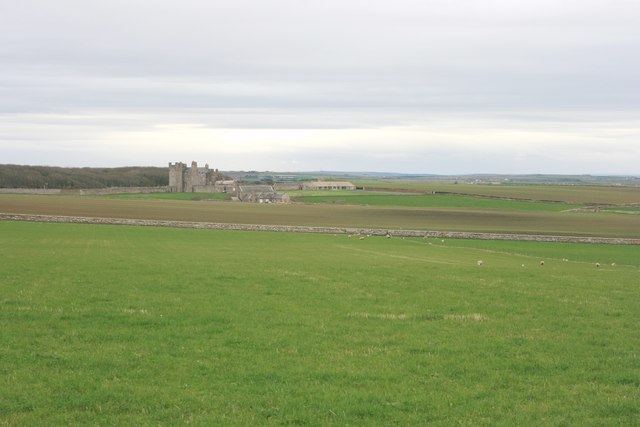
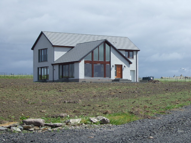
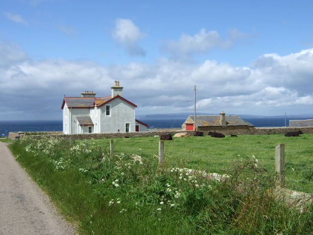
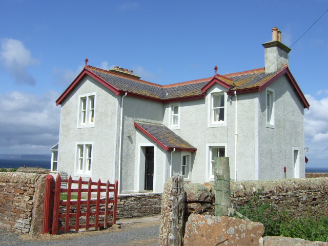
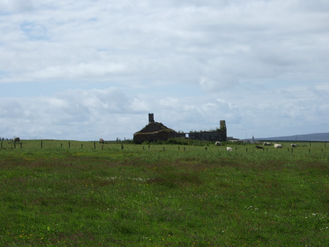
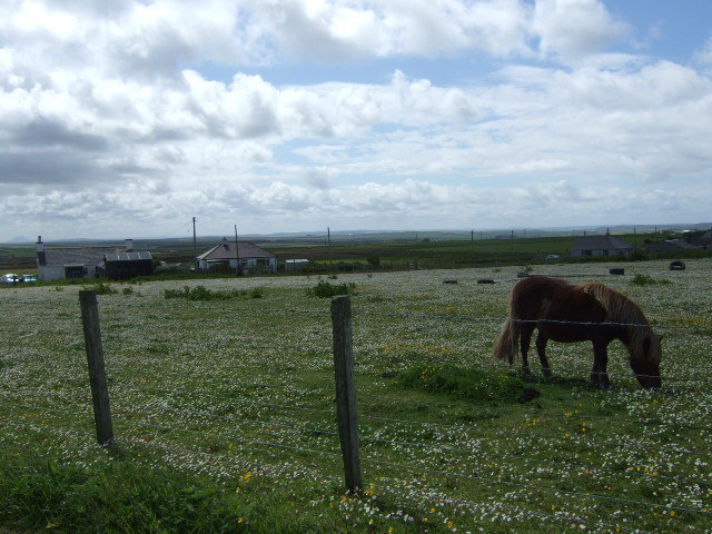
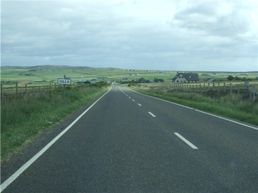
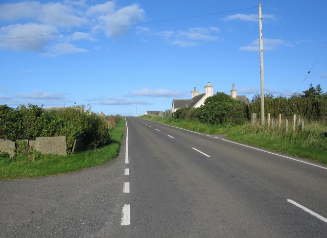
Barberry Head Images

Images are sourced within 2km of 58.657974/-3.185929 or Grid Reference ND3175. Thanks to Geograph Open Source API. All images are credited.

Ploughed field, Long Goe Farm Long Goe Farm with the Pentland Firth and Hoy in the distance.
Ploughed field, Long Goe Farm
Long Goe Farm with the Pentland Firth and Hoy in the distance.
Pastureland near the Castle of Mey Looking across fields towards the Castle of Mey.
Pastureland near the Castle of Mey
Looking across fields towards the Castle of Mey.
View north towards Orkney Hoy over the Pentland Firth.
View north towards Orkney
Hoy over the Pentland Firth.
Tigh na Mara
Tigh na Mara
Approach to Seaview House Overlooking the Pentland Firth towards Hoy.
Approach to Seaview House
Overlooking the Pentland Firth towards Hoy.
Seaview House
Seaview House
Long Goe Farm Close to Longgeo - a more conventional spelling.
Long Goe Farm
Close to Longgeo - a more conventional spelling.
Track to Long Goe farm On the shore of the Pentland Firth.
Track to Long Goe farm
On the shore of the Pentland Firth.
View towards Men of Mey and st John's Point The Tower of Mey (Stack) can just be discerned.
View towards Men of Mey and st John's Point
The Tower of Mey (Stack) can just be discerned.
Maligoe Near St John's Point, by the Pentland Firth.
Maligoe
Near St John's Point, by the Pentland Firth.
St John's Cottage Aka 'Tea Cosy' from the cafe annexe. An old heavy-duty clothes wringer can be seen here, outside the porch.
St John's Cottage
Aka 'Tea Cosy' from the cafe annexe. An old heavy-duty clothes wringer can be seen here, outside the porch.
Horses by St John's Point Backed by the Pentland Firth and Orkney.
Horses by St John's Point
Backed by the Pentland Firth and Orkney.
Windy Ha'
Windy Ha'
Mey Hill junction St John's road joining A846.
Mey Hill junction
St John's road joining A846.
Ferndale Near Windy Ha'.
Ferndale
Near Windy Ha'.
Approach to Gills On A846 from Mey.
Approach to Gills
On A846 from Mey.
View towards Stroma island In the Pentland Firth; from near Gills.
View towards Stroma island
In the Pentland Firth; from near Gills.
A836 at East Mey A view looking to the northeast along the A836 at East Mey.
A836 at East Mey
A view looking to the northeast along the A836 at East Mey.
Show me another place!

Barberry Head is located at Grid Ref: ND3175 (Lat: 58.657974, Lng: -3.185929)

Unitary Authority: Highland

Police Authority: Highlands and Islands

What 3 Words

///backtrack.swinging.bookmark. Near John o' Groats, Highland

Related Wikis

East Mey

East Mey is a scattered crofting village in northern Caithness, Scottish Highlands and is in the Scottish council area of Highland. == References ==

Gills Bay

Gills Bay, which is situated about 3 mi (4.8 km) west of John o' Groats with the community of Gills close by, has one of the longest stretches of low-lying...

Gills, Caithness

Galltair is a remote coastal, scattered crofting township and former fishing village, on the north coast of Caithness, Scottish Highlands, in the Scottish...
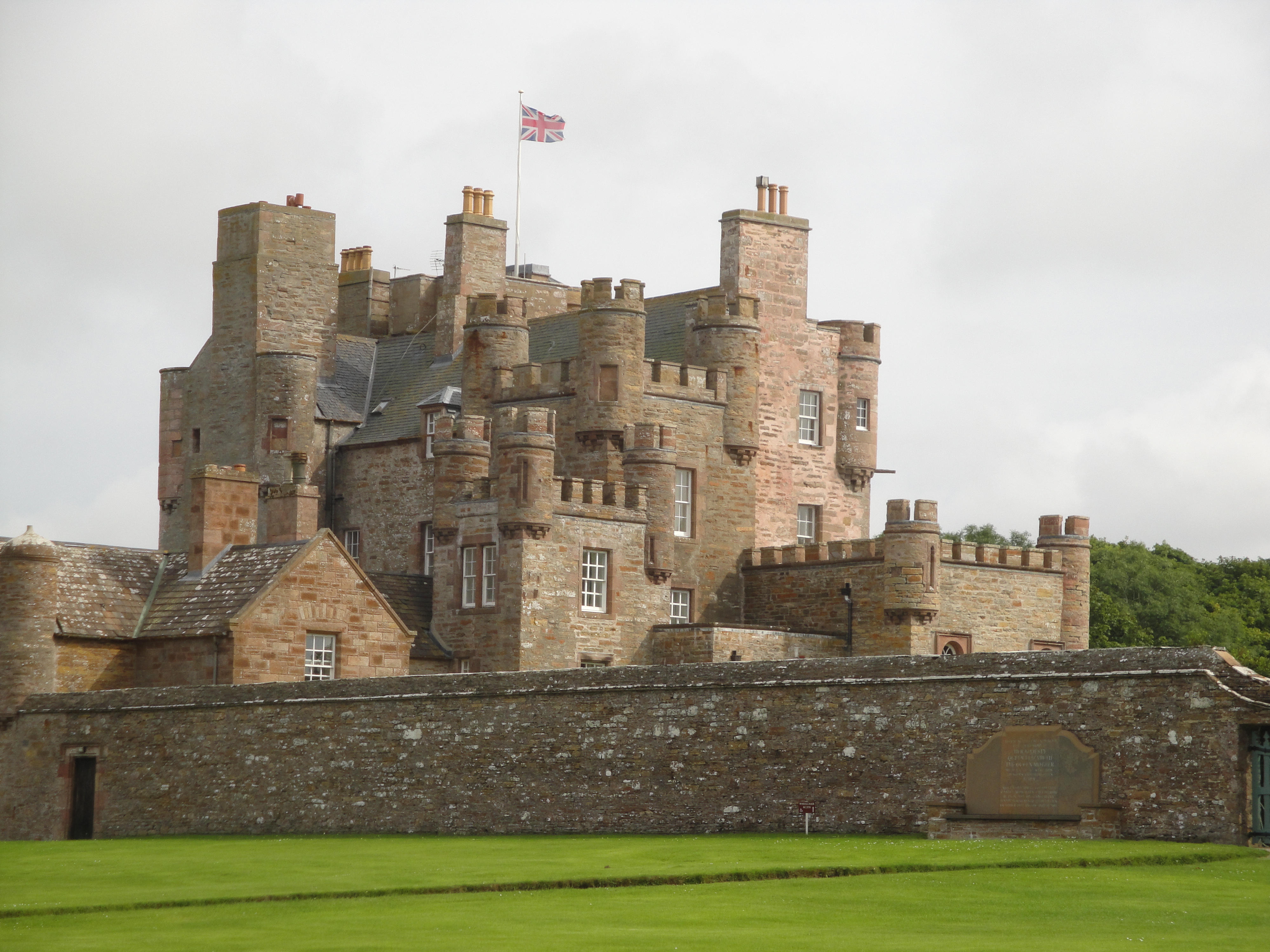
Castle of Mey

The Castle of Mey (also known for a time as Barrogill Castle) is located in Caithness, on the north coast of Scotland, about 6 miles (10 km) west of John...

Nearby Amenities

Located within 500m of 58.657974,-3.185929
Created By: almien_coastlines
Source: PGS
Lat/Long: 58.654458/-3.181411
Created By: almien_coastlines
Source: PGS
Lat/Long: 58.654713/-3.182394
Created By: almien_coastlines
Source: PGS
Lat/Long: 58.65484/-3.182886
Source: PGS
Lat/Long: 58.6556854/-3.1831924
Source: PGS
Lat/Long: 58.6559635/-3.1835199
Created By: almien_coastlines
Source: PGS
Lat/Long: 58.656119/-3.183631
Created By: almien_coastlines
Source: PGS
Lat/Long: 58.656375/-3.183632
Created By: almien_coastlines
Source: PGS
Lat/Long: 58.657142/-3.184127
Created By: almien_coastlines
Source: PGS
Lat/Long: 58.657398/-3.18462
Source: PGS
Lat/Long: 58.6578048/-3.18534
Source: PGS
Lat/Long: 58.6579467/-3.1857281
Source: PGS
Lat/Long: 58.6579203/-3.1861519
Source: PGS
Lat/Long: 58.6578014/-3.1864053
Source: PGS
Lat/Long: 58.657657/-3.1865247
Source: PGS
Lat/Long: 58.6573975/-3.187158
Source: PGS
Lat/Long: 58.6581438/-3.1871674
Source: PGS
Lat/Long: 58.657946/-3.18823
Source: PGS
Lat/Long: 58.6579831/-3.1889494
Source: PGS
Lat/Long: 58.6584807/-3.189318
Source: PGS
Lat/Long: 58.6586312/-3.188732
Source: PGS
Lat/Long: 58.6594789/-3.187839
Source: PGS
Lat/Long: 58.6600457/-3.1882188
Source: PGS
Lat/Long: 58.6598546/-3.1885383
Source: PGS
Lat/Long: 58.6595547/-3.1886978
Created By: almien_coastlines
Source: PGS
Lat/Long: 58.660205/-3.190283
Source: PGS
Lat/Long: 58.6602242/-3.1907227
Source: PGS
Lat/Long: 58.6602654/-3.1913542
Source: PGS
Lat/Long: 58.6599833/-3.191755
Source: PGS
Lat/Long: 58.659301/-3.1919387
Source: PGS
Lat/Long: 58.6574554/-3.1922598
Source: PGS
Lat/Long: 58.6568217/-3.1926722
Source: PGS
Lat/Long: 58.6565113/-3.1930774
Source: PGS
Lat/Long: 58.6566606/-3.1934759
Created By: almien_coastlines
Source: PGS
Lat/Long: 58.65636/-3.193947
Created By: almien_coastlines
Source: PGS
Lat/Long: 58.656104/-3.193699
Bught
Place: locality
Lat/Long: 58.6582287/-3.188563
The data included in this document is from www.openstreetmap.org. The data is made available under ODbL.

Have you been to Barberry Head?

Leave your review of Barberry Head below (or comments, questions and feedback).