Birnie Rocks
Island in Midlothian
Scotland
Birnie Rocks
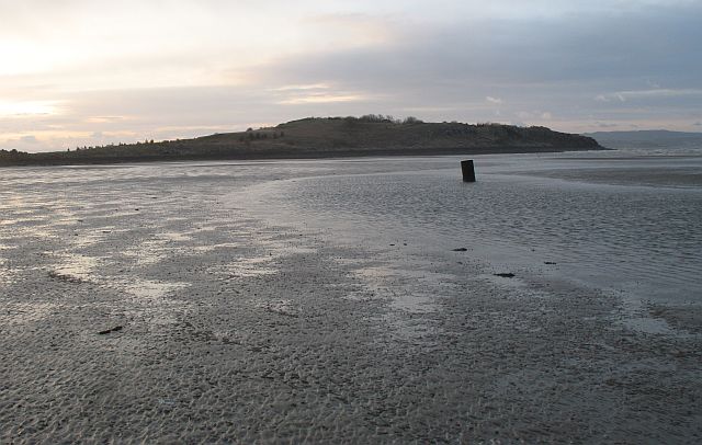
Birnie Rocks, located in Midlothian, is a small island situated in the Firth of Forth, off the east coast of Scotland. This rocky outcrop is part of a group of islands known as the Firth of Forth Islands Nature Reserve, which is managed by the Scottish Wildlife Trust.
Birnie Rocks is a haven for a variety of seabirds, making it an important breeding and nesting site. The island is particularly known for its large population of puffins. These charismatic birds with their strikingly colorful beaks can be seen in abundance during the summer months when they return to the island to breed. Other notable bird species that can be observed on Birnie Rocks include guillemots, razorbills, and kittiwakes.
The island itself is relatively small, measuring only about 300 meters in length and 100 meters in width. It is composed of rugged cliffs and steep slopes, providing ideal nesting grounds for the seabirds. Access to the island is restricted to protect the wildlife, and visitors are not allowed to set foot on the rocks.
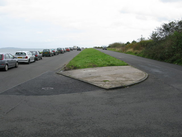
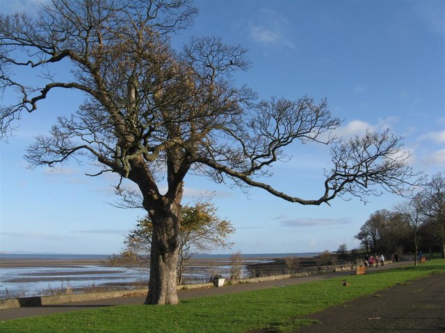
Birnie Rocks can be admired from the mainland, with nearby vantage points such as Seafield Beach and Port Seton offering excellent views of the island and its bird population. The surrounding waters are also home to seals, which can sometimes be spotted basking on the rocks or swimming in the sea.
Overall, Birnie Rocks is a significant ecological site, providing a safe haven for numerous seabird species and offering a unique opportunity for wildlife enthusiasts to appreciate the beauty and diversity of Scotland's coastal ecosystems.
If you have any feedback on the listing, please let us know in the comments section below.
Birnie Rocks Images
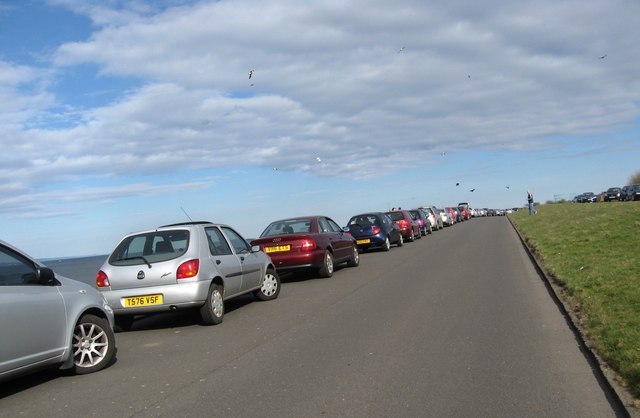
Images are sourced within 2km of 55.983337/-3.258866 or Grid Reference NT2177. Thanks to Geograph Open Source API. All images are credited.

Birnie Rocks is located at Grid Ref: NT2177 (Lat: 55.983337, Lng: -3.258866)
Unitary Authority: City of Edinburgh
Police Authority: Edinburgh
What 3 Words
///much.bravo.string. Near Edinburgh
Nearby Locations
Related Wikis

Murder of Sheila Anderson
The murder of Sheila Anderson (1955/1956 – 7 February 1983) was the 1983 murder of a sex worker in Edinburgh which has been described as "one of Scotland...

Granton Shrimp Bed
The Granton Shrimp Bed is a fossil-bearing deposit exposed on the southern shore of the Firth of Forth near Edinburgh, in Scotland. It is classified as...
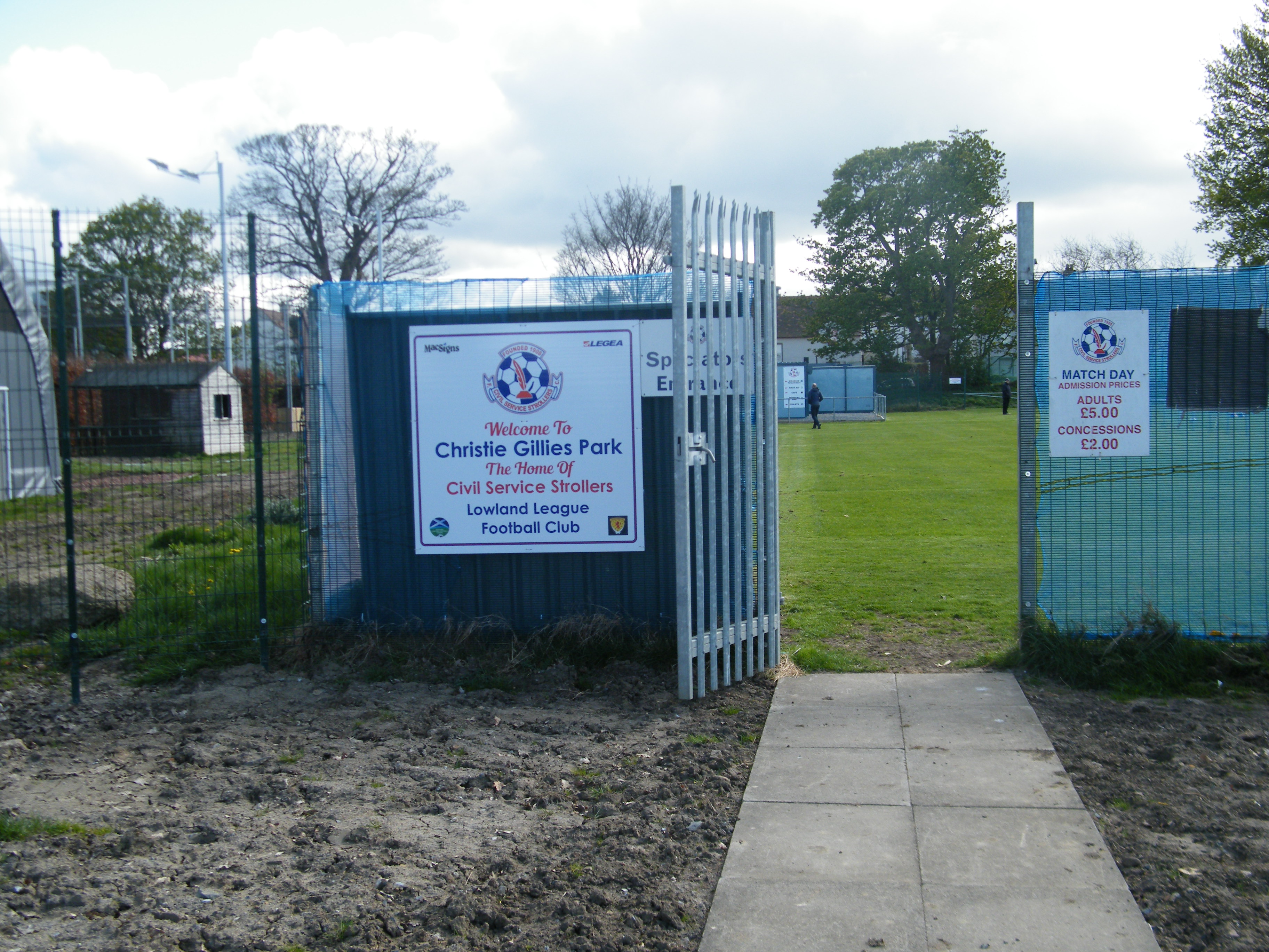
Civil Service Strollers F.C.
Civil Service Strollers Football Club are a senior non-league football team from Edinburgh, Scotland currently playing in the Lowland League. The Strollers...

Edinburgh College
Edinburgh College (Scottish Gaelic: Colaiste Dhùn Èideann) is a further and higher education institution with campuses in Edinburgh and Midlothian, Scotland...
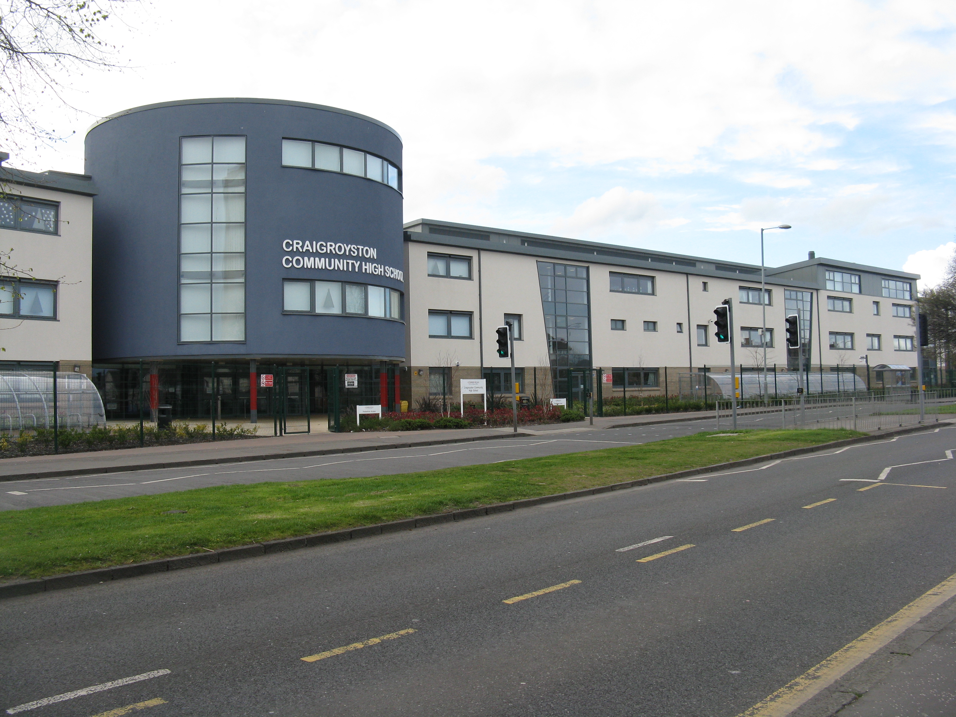
Craigroyston Community High School
Craigroyston Community High School is a non-denominational community secondary school in Muirhouse, Edinburgh. The current headteacher is Shelley McLaren...

Caroline Park
Caroline Park is a 17th-century mansion in the Granton area of Edinburgh. It was constructed between 1683 and 1696 for Sir George Mackenzie, 1st Viscount...

Granton Gasworks railway station
Granton Gasworks railway station was a private railway station built to serve the Granton Gasworks in Granton, Edinburgh, Scotland that operated from 1902...

Martello Court
Martello Court is a residential building and one of the tallest buildings in Edinburgh, Scotland. It is 64 metres (210 ft) high, with 23 floors. It is...
Nearby Amenities
Located within 500m of 55.983337,-3.258866Have you been to Birnie Rocks?
Leave your review of Birnie Rocks below (or comments, questions and feedback).