Bell Rock
Island in Fife
Scotland
Bell Rock
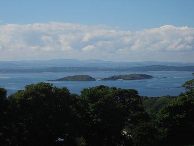
Bell Rock is a small uninhabited island located in the Firth of Forth, off the coast of Fife, Scotland. Also known as Inchcape, the island is renowned for its iconic lighthouse, which stands as a testament to engineering brilliance and maritime history.
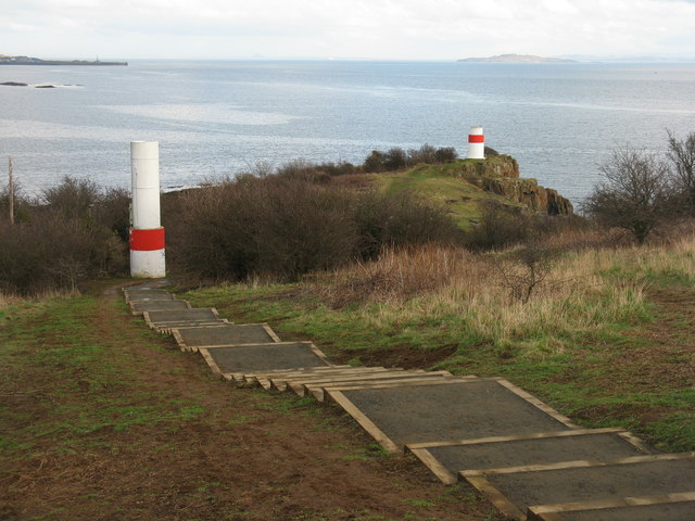
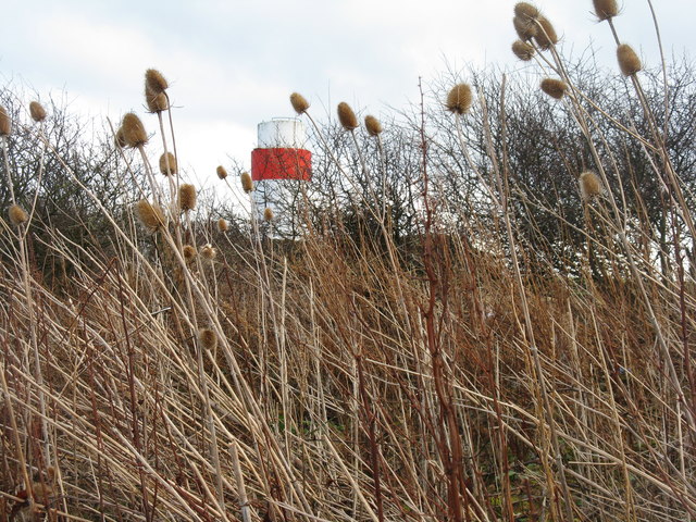
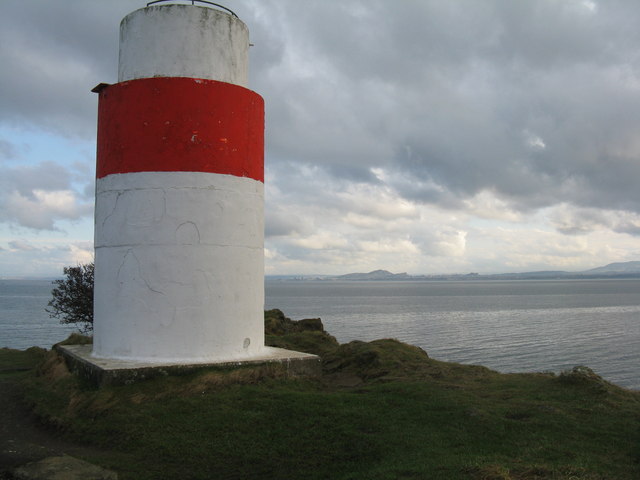
The island's most prominent feature is the Bell Rock Lighthouse, constructed between 1807 and 1810 by engineer Robert Stevenson. It is one of the oldest surviving sea-washed lighthouses in the world and is considered a masterpiece of engineering. The lighthouse was built to warn ships of the treacherous Bell Rock, a notorious hazard responsible for numerous shipwrecks. Its design, with a cylindrical tower rising 35 meters above sea level, was a groundbreaking achievement at the time.
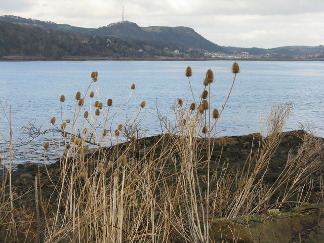
Bell Rock itself is a wave-swept reef, visible only during low tide. The island's surface area is relatively small, spanning just over 4,500 square meters. It is composed mainly of solid rock, making it inhospitable for any permanent human settlement.
Today, Bell Rock is still an active aid to navigation, guiding ships safely through the Firth of Forth. The lighthouse is automated and monitored remotely, ensuring continuous operation. Due to its historical significance and unique location, the Bell Rock and its lighthouse attract visitors and maritime enthusiasts who can explore the area by boat or enjoy the view from afar.
Despite its uninhabited nature, Bell Rock stands as a symbol of human ingenuity and the important role lighthouses have played in safeguarding seafarers for centuries.
If you have any feedback on the listing, please let us know in the comments section below.
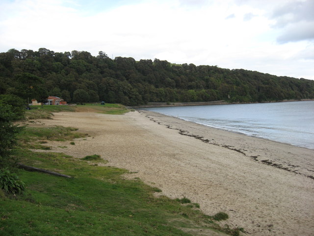
Bell Rock Images
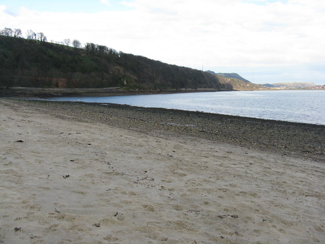
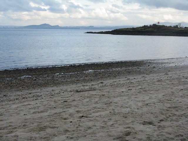
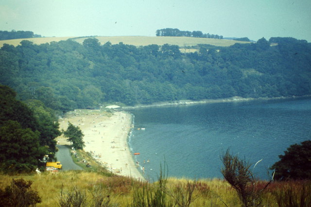
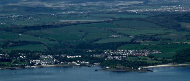
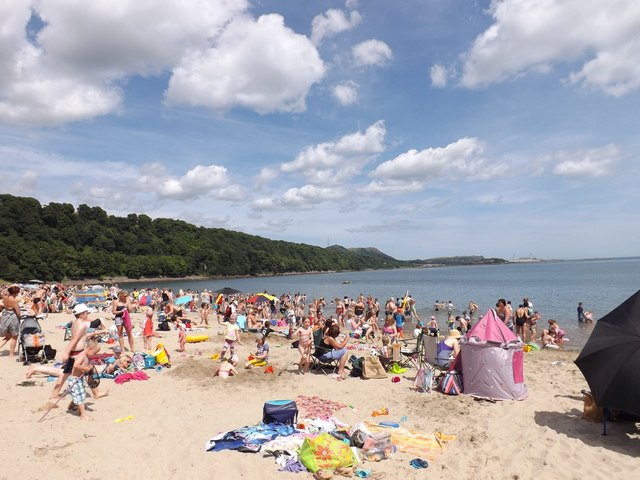
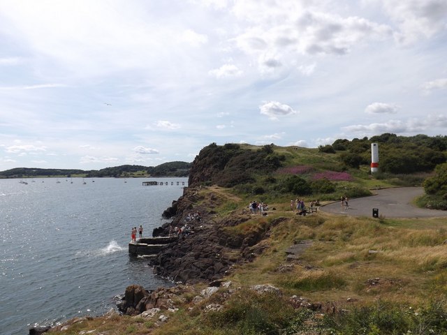
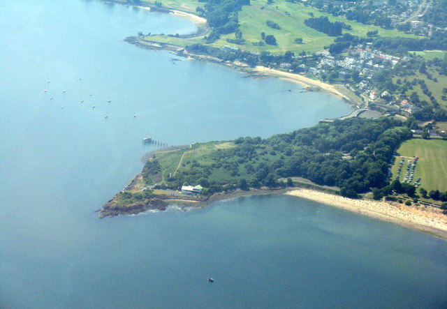
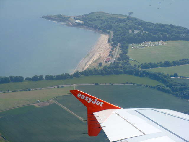
Images are sourced within 2km of 56.048116/-3.2976288 or Grid Reference NT1984. Thanks to Geograph Open Source API. All images are credited.

Bell Rock is located at Grid Ref: NT1984 (Lat: 56.048116, Lng: -3.2976288)
Unitary Authority: Fife
Police Authority: Fife
What 3 Words
///rebel.peroxide.acid. Near Aberdour, Fife
Nearby Locations
Related Wikis
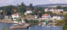
Aberdour
Aberdour ( ; Scots: , Scottish Gaelic: Obar Dobhair) is a scenic and historic village on the south coast of Fife, Scotland. It is on the north shore of...

Aberdour railway station
Aberdour railway station is a railway station in the village of Aberdour, Fife, Scotland. The station is managed by ScotRail and is on the Fife Circle...

Inchcolm Abbey
Inchcolm Abbey is a medieval abbey located on the island of Inchcolm in the Firth of Forth in Scotland. The Abbey, which is located at the centre of the...

Inchcolm
Inchcolm (from the Scottish Gaelic "Innis Choluim", meaning Columba's Island) is an island in the Firth of Forth in Scotland. The island has a long history...
Nearby Amenities
Located within 500m of 56.048116,-3.2976288Have you been to Bell Rock?
Leave your review of Bell Rock below (or comments, questions and feedback).