Black Craigs
Island in Kirkcudbrightshire
Scotland
Black Craigs
Black Craigs is a small island located in the Kirkcudbrightshire region of Scotland. Situated off the coast of the Solway Firth, it is known for its rugged and dramatic landscape. The island is roughly 1.5 miles long and half a mile wide, with steep cliffs that rise up to 200 feet in some areas.
The island is characterized by its black rock formations, which give it its name. These cliffs are made of basalt, a volcanic rock that was formed millions of years ago during volcanic activity in the region. The dark color of the rock contrasts with the surrounding greenery, creating a striking visual effect.
Despite its relatively small size, Black Craigs is home to a diverse range of wildlife. Seabirds, such as gannets, fulmars, and kittiwakes, can be spotted nesting on the cliffs. The surrounding waters are also teeming with marine life, including seals, dolphins, and occasional sightings of whales.
Due to its remote location and challenging terrain, the island is not easily accessible to visitors. However, it attracts adventurous hikers and climbers who are drawn to its wild and untamed beauty. The cliffs offer challenging routes for experienced climbers, while the coastal path around the island provides stunning views for hikers.
Black Craigs is a place of natural beauty and tranquility, offering a unique and rugged experience for those willing to explore its untamed landscape.
If you have any feedback on the listing, please let us know in the comments section below.
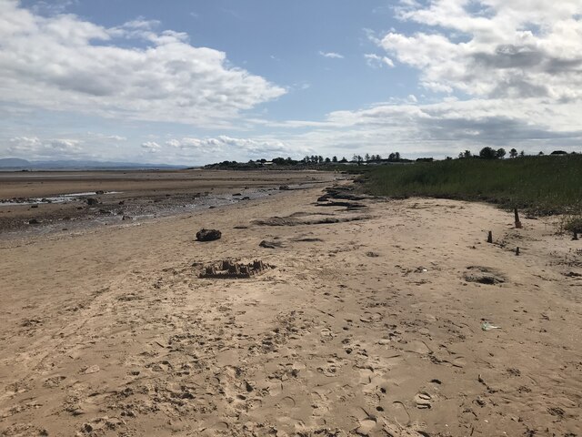
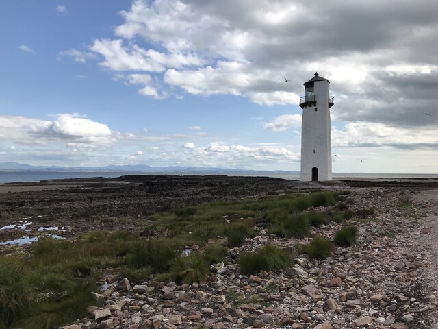
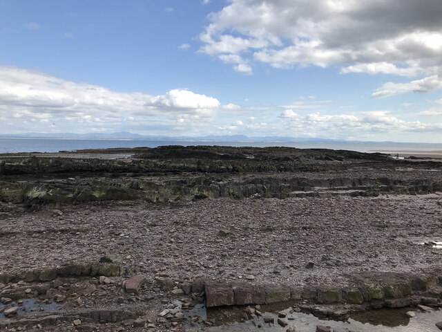
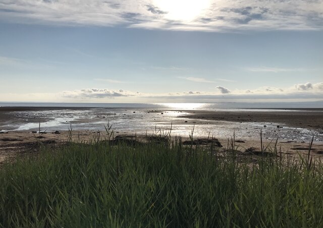
Black Craigs Images
Images are sourced within 2km of 54.880347/-3.5826267 or Grid Reference NX9855. Thanks to Geograph Open Source API. All images are credited.


Black Craigs is located at Grid Ref: NX9855 (Lat: 54.880347, Lng: -3.5826267)
Unitary Authority: Dumfries and Galloway
Police Authority: Dumfries and Galloway
What 3 Words
///players.ripen.apartment. Near Silloth, Cumbria
Nearby Locations
Related Wikis

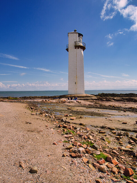
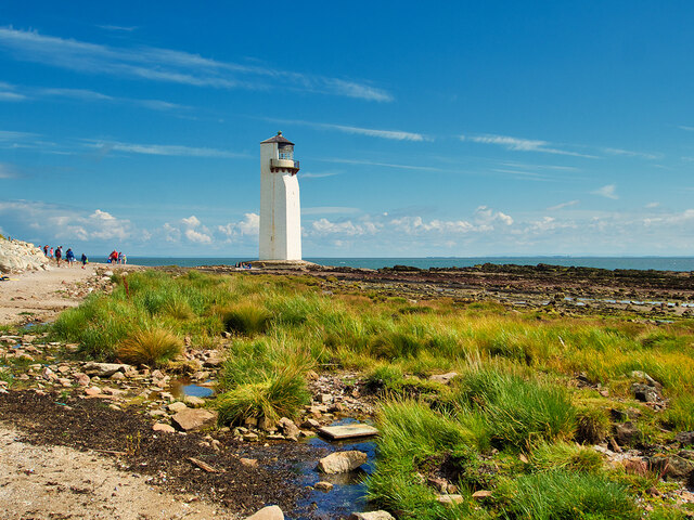
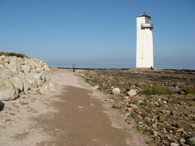
Southerness Lighthouse
Southerness lighthouse is located at the village of Southerness in South West Scotland. It is at present the second oldest lighthouse in Scotland. The...

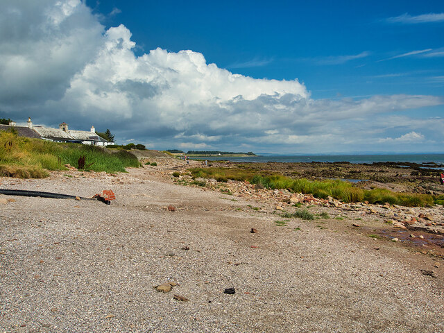
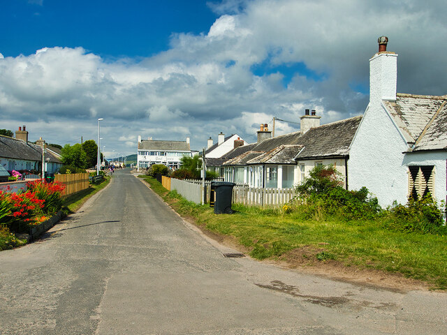
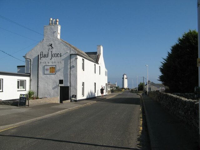
Southerness
Southerness (/sʌðə'nɛs/; Scots: Satterness) is a small, compact coastal village in Dumfries and Galloway, Scotland. Southerness is located approximately...
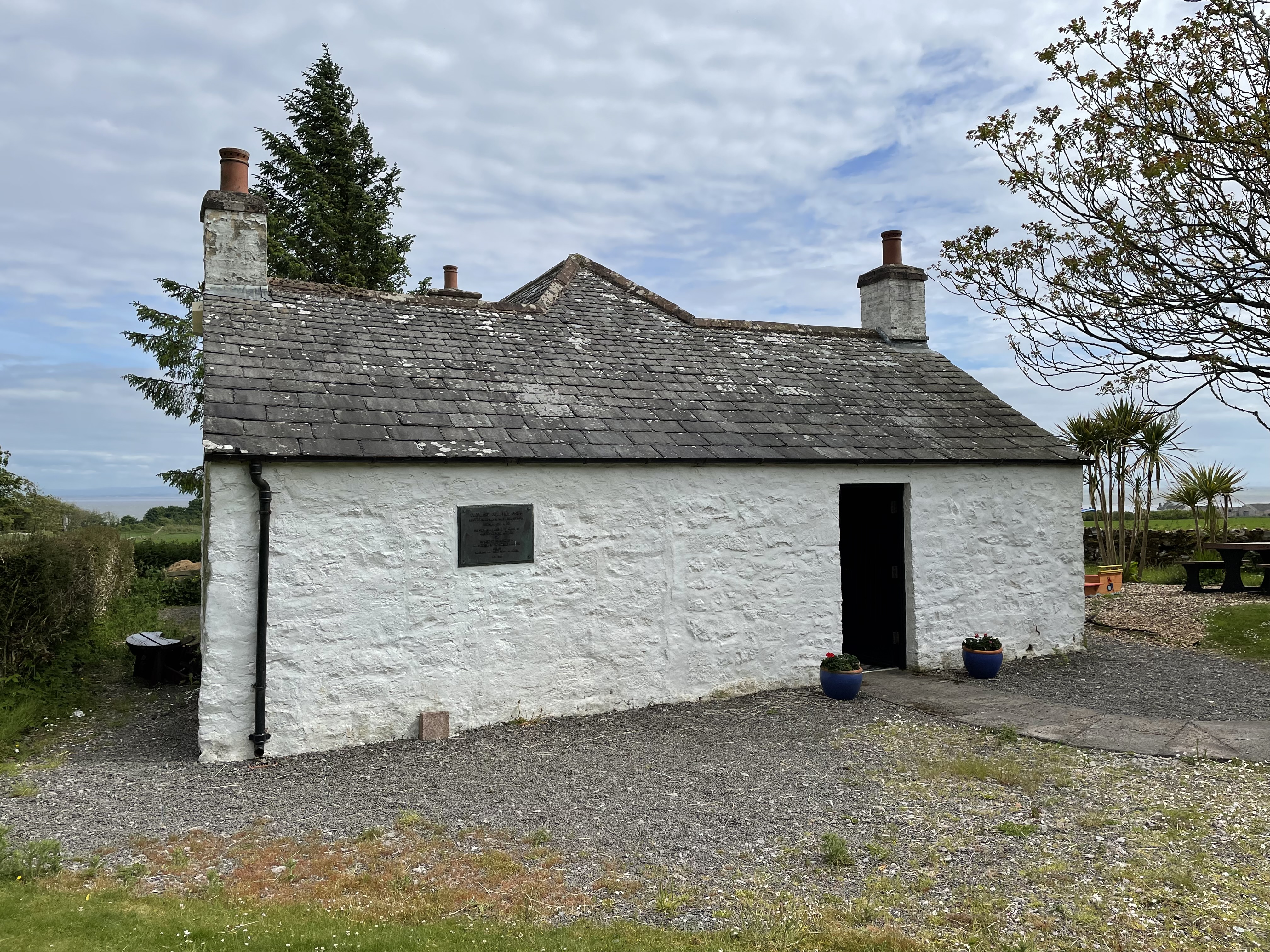
John Paul Jones Cottage Museum
The John Paul Jones Cottage Museum is located on the Arbigland Estate near Kirkbean in the historical county of Kirkcudbrightshire, Dumfries and Galloway...

Kirkbean
Kirkbean (Scottish Gaelic: Cille Bheathain) is a Scottish village and civil parish on the Solway Firth, in the historic county of Kirkcudbrightshire and...

Criffel
Criffel is a hill in the historical county of Kirkcudbrightshire, Dumfries and Galloway, south-west Scotland. It is 570 m (1,870 ft) high but appears higher...
Have you been to Black Craigs?
Leave your review of Black Craigs below (or comments, questions and feedback).