Craig an Roan
Island in Ross-shire
Scotland
Craig an Roan

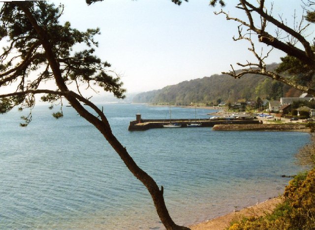
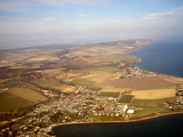
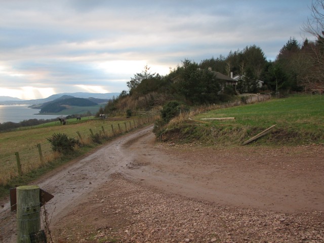
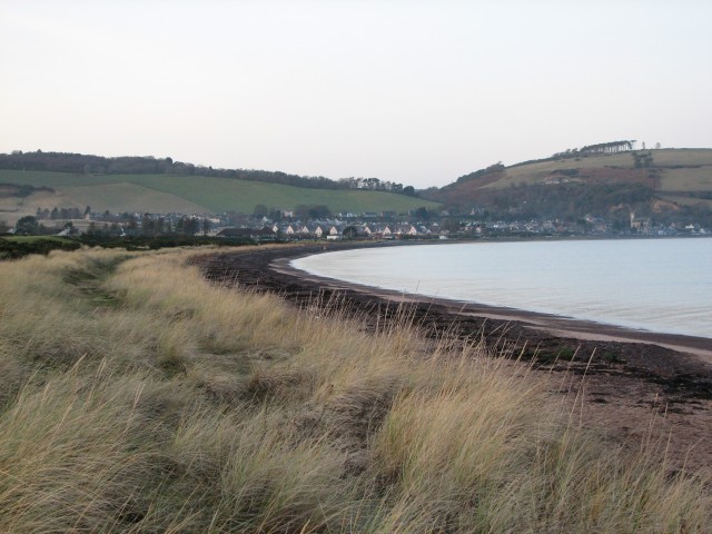
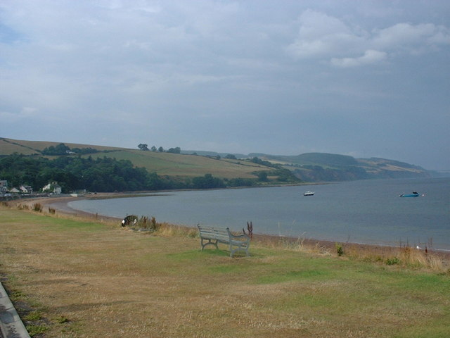
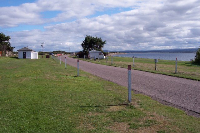
Craig an Roan is a small island located off the coast of Ross-shire in the Scottish Highlands. It is situated in the Cromarty Firth, approximately 4 kilometers northwest of Invergordon. The island is accessible by boat, making it a popular destination for tourists and nature enthusiasts.
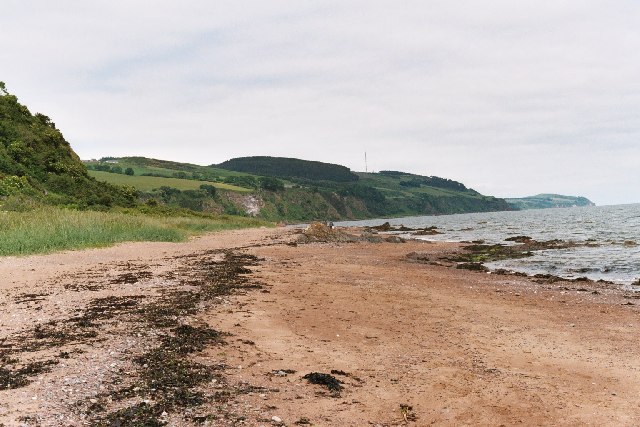
Covering an area of around 0.2 square kilometers, Craig an Roan is characterized by its rugged and picturesque landscapes. The island is mainly composed of rocky cliffs and grassy slopes, providing stunning panoramic views of the surrounding waters and neighboring landmasses.
The island is home to a diverse range of wildlife, making it an excellent spot for birdwatching and seal spotting. Common bird species seen on Craig an Roan include gulls, fulmars, and cormorants. Seals can often be spotted basking on the rocks or swimming in the crystal-clear waters surrounding the island.
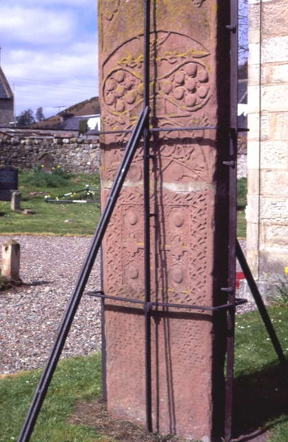
Craig an Roan also boasts a rich history, with ancient remains indicating human occupation dating back thousands of years. Ruins of stone structures and burial sites can still be found on the island, providing glimpses into its past.
Due to its small size, there are no permanent residents on Craig an Roan. However, the island offers a tranquil escape from the hustle and bustle of mainland life, making it a popular destination for day trips and camping adventures.
In summary, Craig an Roan is a small and picturesque island off the coast of Ross-shire, offering stunning views, diverse wildlife, and a rich historical past. It is a place where visitors can immerse themselves in nature and experience the tranquility of island life.
If you have any feedback on the listing, please let us know in the comments section below.
Craig an Roan Images
Images are sourced within 2km of 57.577265/-4.1265698 or Grid Reference NH7256. Thanks to Geograph Open Source API. All images are credited.


Craig an Roan is located at Grid Ref: NH7256 (Lat: 57.577265, Lng: -4.1265698)
Unitary Authority: Highland
Police Authority: Highlands and Islands
What 3 Words
///salaried.convinced.eager. Near Fortrose, Highland
Nearby Locations
Related Wikis

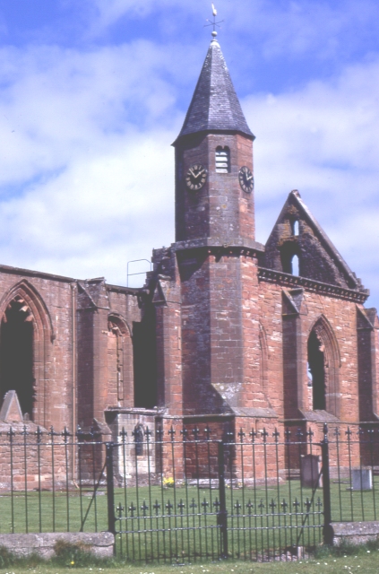
Fortrose Cathedral
Fortrose Cathedral was the episcopal seat (cathedra) of the medieval Scottish diocese of Ross in the Highland region of Scotland. It is probable that the...
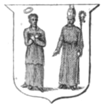
Diocese of Ross (Scotland)
The Diocese of Ross was an ecclesiastical territory or diocese in the Highland region of Scotland during the Middle Ages and Early modern period. The Diocese...
Chanonry of Ross
Castle Chanonry of Ross, also known as Seaforth Castle, was located in the town of Fortrose, to the north-east of Inverness, on the peninsula known as...

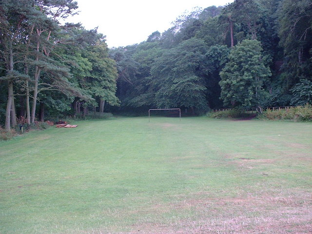
Loch Ness F.C.
Loch Ness Football Club is a Scottish football club playing in the North Caledonian Football League currently based in the town of Fortrose in the Scottish...
Nearby Amenities
Located within 500m of 57.577265,-4.1265698Have you been to Craig an Roan?
Leave your review of Craig an Roan below (or comments, questions and feedback).