A' Chananaich

Settlement in Ross-shire

Scotland

A' Chananaich

Rosemarkie Stone A beautifully carved Class 2 sculptured sandstone slab, one of several found in Easter Ross.
Rosemarkie Stone Credit: Anne Burgess

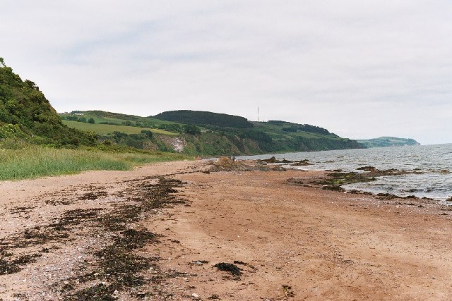
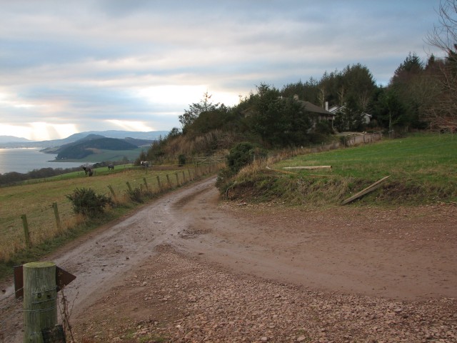
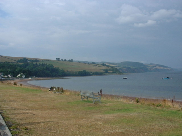
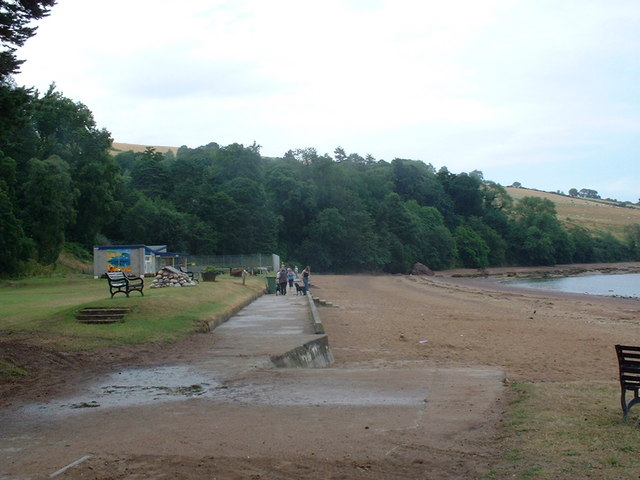
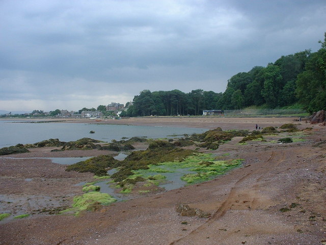
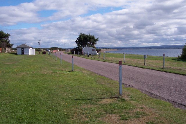
A' Chananaich is a small village located in the county of Ross-shire, Scotland. Situated in the beautiful Highlands, it is nestled between the River Conon and the Black Isle, offering breathtaking views of the surrounding landscapes.

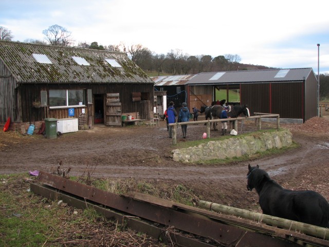
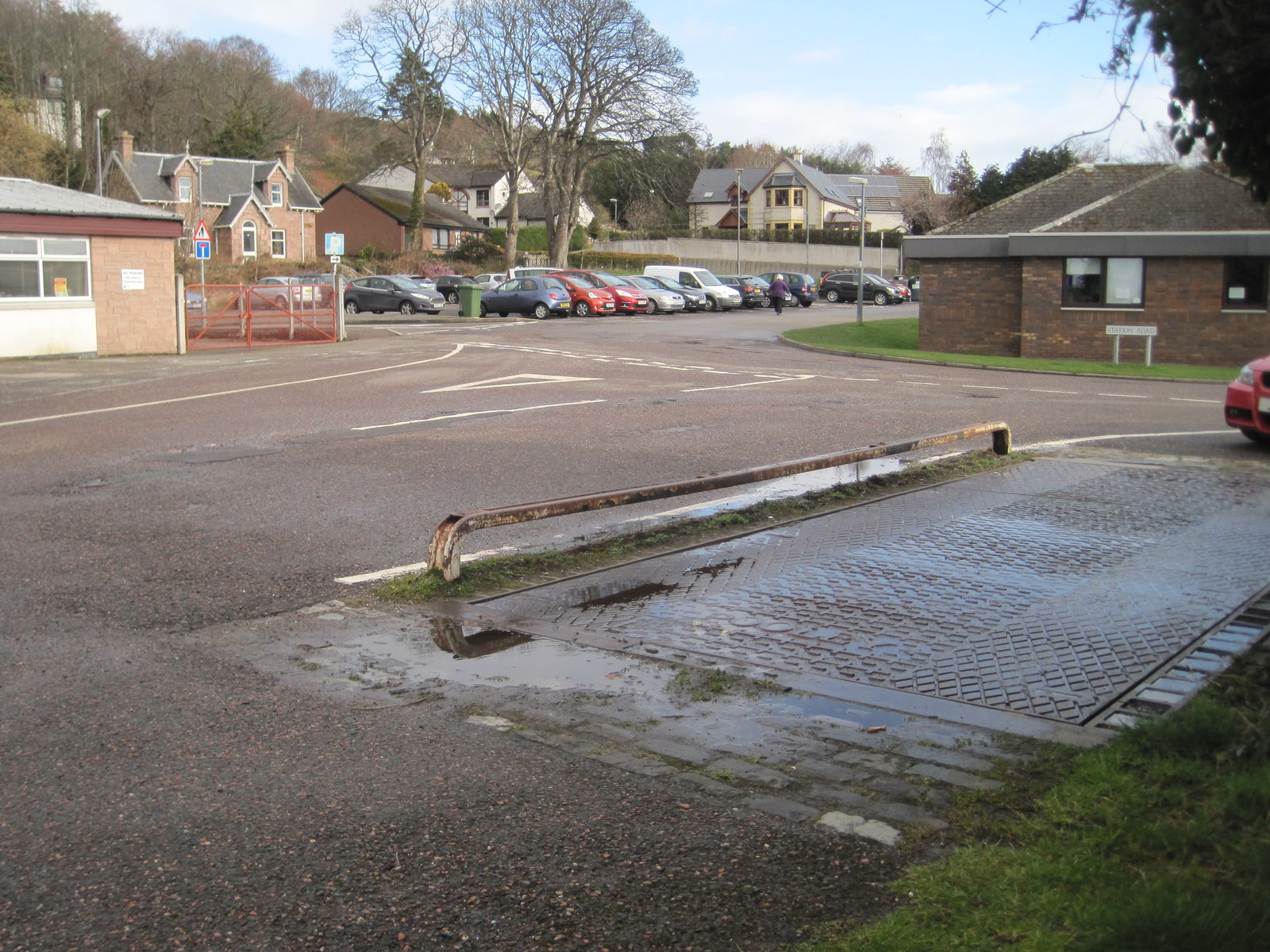
The village is known for its peaceful atmosphere and close-knit community. With a population of just over 500 residents, it maintains a charming and traditional character. The local economy primarily relies on agriculture and tourism, with many visitors attracted to the area for its natural beauty and historic sites.

One of the notable landmarks in A' Chananaich is the nearby Munlochy Clootie Well. This ancient healing well has been a site of pilgrimage for centuries, with visitors tying pieces of cloth or "cloots" to nearby trees in the hope of receiving a cure for ailments. The well is surrounded by a tranquil forest, making it a popular spot for nature lovers and those seeking spiritual solace.

In terms of amenities, A' Chananaich offers a range of services to its residents and visitors. There is a local primary school, a village hall that hosts various community events, and a few small shops and cafes. For more extensive shopping or entertainment options, the nearby town of Dingwall is easily accessible.

Overall, A' Chananaich provides a peaceful and picturesque setting for those seeking a slower pace of life amidst stunning Scottish scenery. Its rich history, natural attractions, and strong community spirit make it a hidden gem in the heart of Ross-shire.

If you have any feedback on the listing, please let us know in the comments section below.

A' Chananaich Images

Images are sourced within 2km of 57.581678/-4.13083 or Grid Reference NH7256. Thanks to Geograph Open Source API. All images are credited.

Rosemarkie Stone A beautifully carved Class 2 sculptured sandstone slab, one of several found in Easter Ross.
Rosemarkie Stone
A beautifully carved Class 2 sculptured sandstone slab, one of several found in Easter Ross.
Fortrose Cathedral This cathedral, like many another, was allowed to fall into disrepair after the Reformation.
Fortrose Cathedral
This cathedral, like many another, was allowed to fall into disrepair after the Reformation.
Fortrose Harbour the stone harbour shelters the colourful craft of the Chanonry Sailing Club.
Fortrose Harbour
the stone harbour shelters the colourful craft of the Chanonry Sailing Club.
Fortrose & the Black Isle Photograph taken from Super Puma helicopter en route Faroes
Fortrose & the Black Isle
Photograph taken from Super Puma helicopter en route Faroes
Rosemarkie Beach
Rosemarkie Beach
View from Broomhill Farm Looking west towards the Kessock Bridge from near Broomhill Farm.
View from Broomhill Farm
Looking west towards the Kessock Bridge from near Broomhill Farm.
Broomhill Farm Farm above Fortrose offering pony trekking and ATV riding.
Broomhill Farm
Farm above Fortrose offering pony trekking and ATV riding.
PEACOCK and horse Farmyard companions, Broomhill Farm.
PEACOCK and horse
Farmyard companions, Broomhill Farm.
Waterfall in the Fairy Glen The top of the Fairy Glen path.  The log just appearing at the left of the picture is heavily studded with coins.  Lots of melted coloured wax on some of the rocks in the glen, and a few twig pentagrams hanging up too.  Strange place.
Waterfall in the Fairy Glen
The top of the Fairy Glen path. The log just appearing at the left of the picture is heavily studded with coins. Lots of melted coloured wax on some of the rocks in the glen, and a few twig pentagrams hanging up too. Strange place.
Rosemarkie Bay The long sweep of the bay leading north to Rosemarkie.
Rosemarkie Bay
The long sweep of the bay leading north to Rosemarkie.
Waterfall in Fairy Glen The glen gets its name from an old tradition. Every Sunday, the children of the village would gather in the glen, at the site of a spring. They would tidy up the pool area around the spring and sprinkle flower petals on it as a gift to the fairies. The fairies in return would ensure a good clean supply of water for the village.
Waterfall in Fairy Glen
The glen gets its name from an old tradition. Every Sunday, the children of the village would gather in the glen, at the site of a spring. They would tidy up the pool area around the spring and sprinkle flower petals on it as a gift to the fairies. The fairies in return would ensure a good clean supply of water for the village.
Roads department shed Dilapidated building beside A832 between Avoch and Fortrose.
Roads department shed
Dilapidated building beside A832 between Avoch and Fortrose.
The beachfront at Rosemarkie
Rosemarkie Beach
Rosemarkie Beach
Playing field at Rosemarkie Beach
Rosemarkie Beach looking towards Rosemarkie village
Rosemarkie Beach
looking towards Rosemarkie village
Fortrose Caravan and Camping site This site is within a few metres of the beach and with stunning views. In the background of this photo, you can see Chanonry Ness and the lighthouse overlooking the Moray Firth.
Fortrose Caravan and Camping site
This site is within a few metres of the beach and with stunning views. In the background of this photo, you can see Chanonry Ness and the lighthouse overlooking the Moray Firth.
Single Track road descending to Fortrose A small road wends its way over the top of the Black Isle then suddenly drops down steeply. A fantastic view across the farmland opens up, down to Fortrose, Chanonry Point, Fort George and beyond.
A panoramic stitched view of 3 photos.
Single Track road descending to Fortrose
A small road wends its way over the top of the Black Isle then suddenly drops down steeply. A fantastic view across the farmland opens up, down to Fortrose, Chanonry Point, Fort George and beyond. A panoramic stitched view of 3 photos.
Show me another place!

A' Chananaich is located at Grid Ref: NH7256 (Lat: 57.581678, Lng: -4.13083)

Unitary Authority: Highland

Police Authority: Highlands and Islands

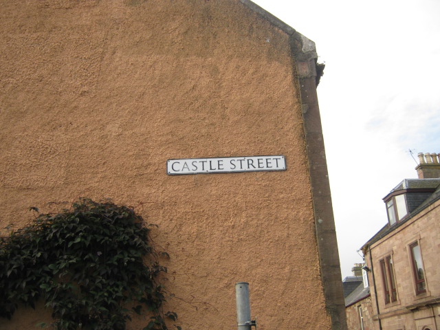
Also known as: Fortrose

What 3 Words

///enhanced.detonated.available. Near Fortrose, Highland

Related Wikis

Chanonry of Ross

Castle Chanonry of Ross, also known as Seaforth Castle, was located in the town of Fortrose, to the north-east of Inverness, on the peninsula known as...

Loch Ness F.C.

Loch Ness Football Club is a Scottish football club playing in the North Caledonian Football League currently based in the town of Fortrose in the Scottish...

Fortrose

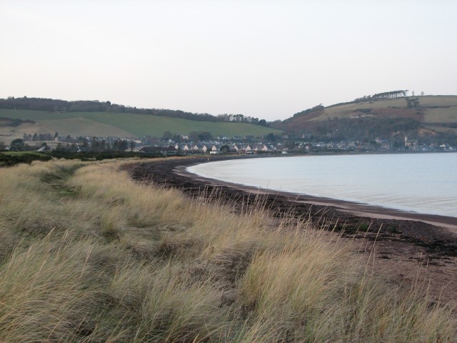
Fortrose is a town and former royal burgh in Highland, Scotland, United Kingdom. It is on the Moray Firth, about 6 miles (10 km) north-east of Inverness...
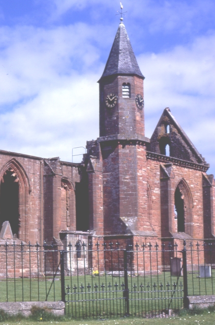
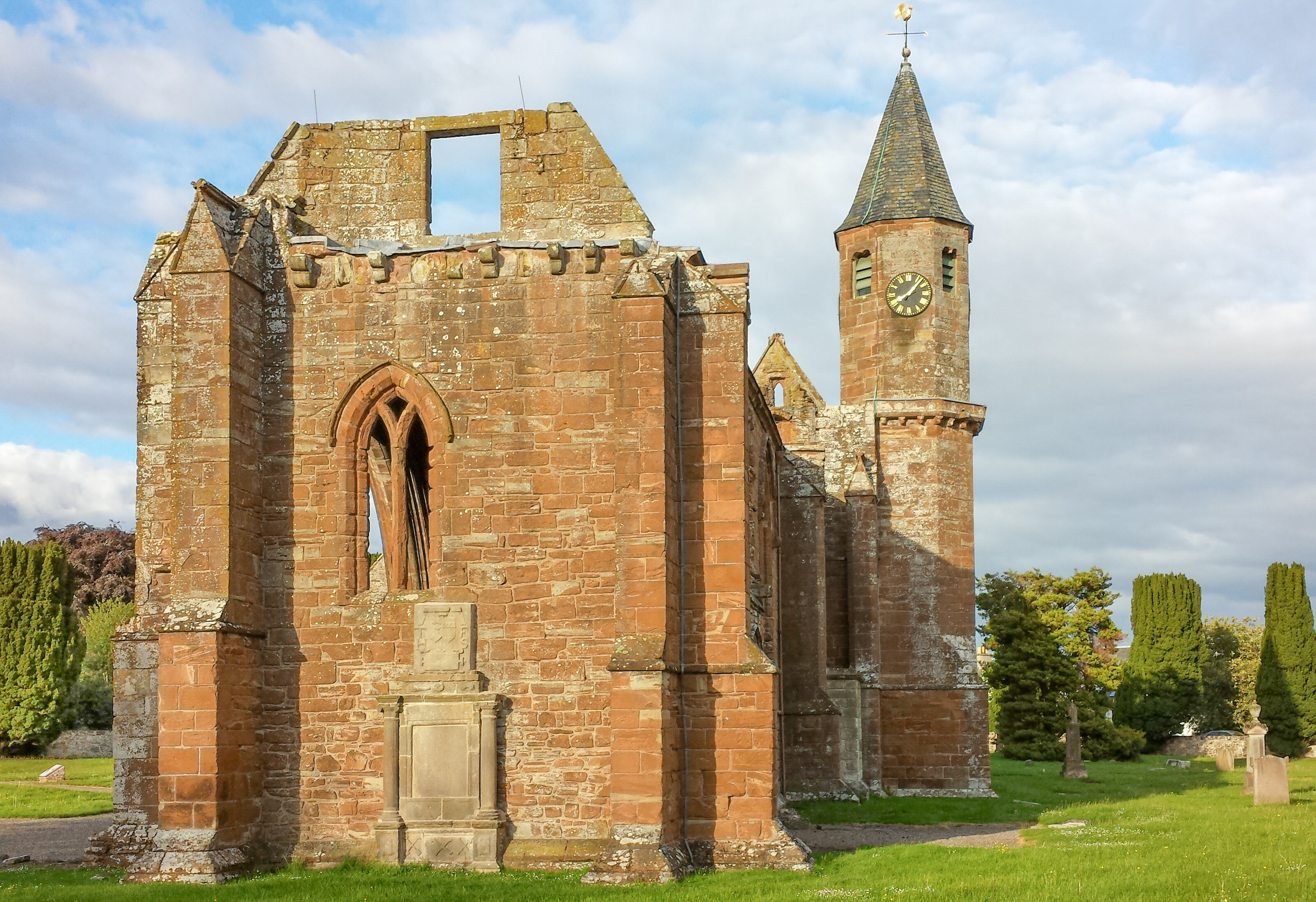
Fortrose Cathedral

Fortrose Cathedral was the episcopal seat (cathedra) of the medieval Scottish diocese of Ross in the Highland region of Scotland. It is probable that the...

Diocese of Ross (Scotland)

The Diocese of Ross was an ecclesiastical territory or diocese in the Highland region of Scotland during the Middle Ages and Early modern period. The Diocese...

Fortrose railway station

Fortrose was the terminus of a single track branch of the Highland Railway in north east Scotland. It connected villages in The Black Isle peninsula to...

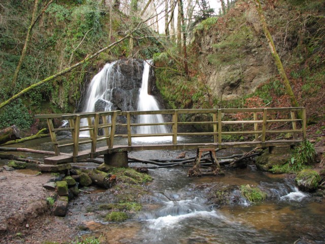
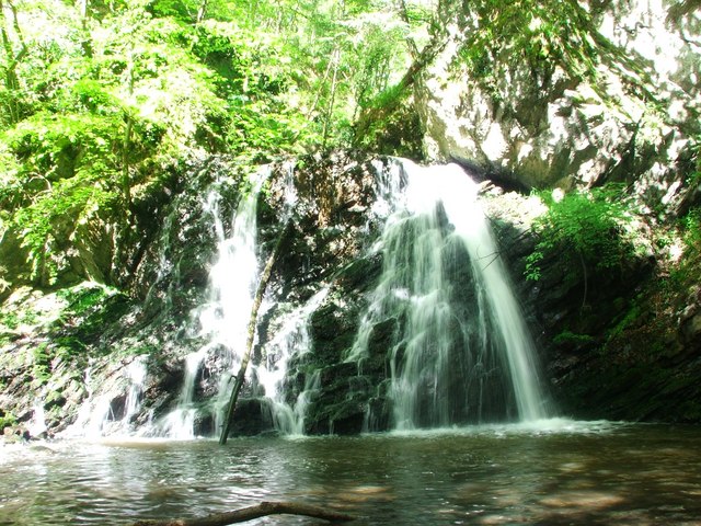
Fairy Glen (RSPB reserve)

Fairy Glen is a protected area in the Highland, Scotland. == Features == The reserve protects a belt of semi-natural woodland, with predominating broad...
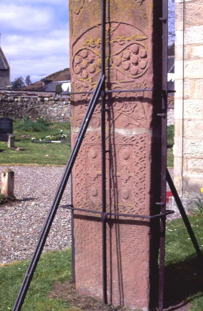
Groam House Museum

Groam House Museum is a museum of Celtic and Pictish Art. Located in the village of Rosemarkie in the Black Isle, Scotland, its collection contains both...

Nearby Amenities

Located within 500m of 57.581678,-4.13083
Fortrose
Name Gd: A' Chananaich
Name Sco: The Chaennry
Place: town
Population: 1670
Source Population: wikipedia 2016
Wikidata: Q1010212
Wikipedia: en:Fortrose
Lat/Long: 57.5817836/-4.1305039
Disused Amenity: bank
Note: "Last bank on the Black Isle closes" https://www.bbc.co.uk/news/uk-scotland-highlands-islands-41305469 Dated: 18 September 2017
Old Name: Bank of Scotland
Lat/Long: 57.5810294/-4.1326585
The Anderson
Addr Postcode: IV10 8TD
Addr Street: Union Street
Phone: +44 1381 620236
Tourism: hotel
Website: https://www.theanderson.co.uk/
Lat/Long: 57.5817095/-4.1304627
Police
Created By: Potlatch 0.10b
Lat/Long: 57.5832595/-4.1280576
Recycling
Recycling Cans: yes
Recycling Clothes: yes
Recycling Glass: yes
Recycling Paper: yes
Recycling Type: container
Lat/Long: 57.5826693/-4.1319504
Pharmacy
Alliance Pharmacy
Healthcare: pharmacy
Opening Hours: Mo-Fr 09:00-18:00; Sa 09:00-13:00
Lat/Long: 57.5816322/-4.1312852
Cromarty Bakery Shop
Opening Hours: Mo-Fr 8:00-16:00; Sa 8:00-15:00; Su off
Shop: bakery
Source: survey 30th August 2014
Wheelchair: no
Lat/Long: 57.5817323/-4.1309711
Fast Food
McGintys
Addr City: Fortrose
Addr Street: High Street
Contact Phone: +44 1381 622333
Cuisine: burger;fish_and_chips;ice_cream;pizza
Opening Hours: Mo-Su 16:00-21:00
Outdoor Seating: no
Takeaway: yes
Website: https://www.thenewmcgintys.com/
Wheelchair: yes
Lat/Long: 57.5818478/-4.1303714
Bus Stop
High Street
Bench: no
Bin: no
Lit: no
Naptan AtcoCode: 670061021
Naptan Bearing: E
Naptan CommonName: High Street
Naptan Indicator: o/s Tavern
Naptan Landmark: Academy Street
Naptan NaptanCode: 45324564
Naptan Street: High Street
Naptan Verified: no
Shelter: no
Source: naptan_import
Tactile Paving: no
Lat/Long: 57.5813537/-4.1318681
Bus Stop
High Street
Bench: no
Bin: no
Naptan AtcoCode: 670061021A
Naptan Bearing: W
Naptan CommonName: High Street
Naptan Indicator: o/s Post Office
Naptan Landmark: Post Office
Naptan NaptanCode: 45324535
Naptan Street: High Street
Naptan Verified: no
Shelter: no
Source: naptan_import
Tactile Paving: no
Lat/Long: 57.5813963/-4.1314101
Bus Stop
Church of Scotland
Bench: yes
Bin: no
Naptan AtcoCode: 670061022
Naptan Bearing: W
Naptan CommonName: Church of Scotland
Naptan Indicator: opp
Naptan Landmark: Balfour Crescent
Naptan NaptanCode: 45324562
Naptan Street: Rosemarkie Road
Shelter: yes
Source: naptan_import
Lat/Long: 57.5827629/-4.1284305
Bus Stop
Church of Scotland
Bench: yes
Bin: no
Naptan AtcoCode: 670061022A
Naptan Bearing: E
Naptan CommonName: Church of Scotland
Naptan Indicator: o/s Church
Naptan Landmark: Balfour Crescent
Naptan NaptanCode: 45324578
Naptan Street: Rosemarkie Road
Shelter: yes
Source: naptan_import
Lat/Long: 57.5829375/-4.1283601
Bus Stop
Academy Car Park
Local Ref: AT
Naptan AtcoCode: 6700712687
Naptan Bearing: NE
Naptan CommonName: Academy Car Park
Naptan Indicator: at
Naptan Landmark: Fortrose Academy
Naptan NaptanCode: 45328234
Naptan Street: School Car Park
Naptan Verified: no
Source: naptan_import
Lat/Long: 57.5799297/-4.1251942
Fortrose War Memorial
Historic: memorial
Memorial: war_memorial
Lat/Long: 57.5812902/-4.1308483
Post Office
Fortrose Post Office
Addr Country: GB
Addr Postcode: IV10 8SU
Branch: Fortrose
Brand: Post Office
Brand Wikidata: Q1783168
Check Date: 2020-02-20
Contact Website: https://www.postoffice.co.uk/branch-finder/1158406/fortrose
Ref Pol Id: 1785
Wheelchair: no
Lat/Long: 57.5815318/-4.1310008
Telephone
Booth: K6
Covered: booth
Listed Status: Category B
Operator: BT
Phone: +44 1381 620200
Source: survey
Lat/Long: 57.5815584/-4.130905
Post Box
Collection Times: Mo-Fr 16:15; Sa 12:30
Operator: Royal Mail
Post Box Type: pillar
Ref: IV10 145
Royal Cypher: scottish_crown
Lat/Long: 57.5815701/-4.1309423
Pub
The Anderson
Addr City: Fortrose
Addr Postcode: IV10 8TD
Addr Street: Union Street
Opening Hours: Mo-Su 16:00-23:00
Operator: Free House
Website: https://www.theanderson.co.uk/
Lat/Long: 57.5816679/-4.1306728
Restaurant
IV 10
Old Name: Eilean Dubh Restaurant
Source: survey
Lat/Long: 57.5808379/-4.132421
Post Box
Collection Times: Mo-Fr 09:30; Sa 09:30
Operator: Royal Mail
Post Box Type: wall
Ref: IV10 175
Royal Cypher: GR
Royal Cypher Wikidata: Q33102273
Source: survey
Lat/Long: 57.5789854/-4.1364024
Bicycle Parking
Bicycle Parking: stands
Capacity: 4
Source: Local knowledge - Black Isle Bicycles
Lat/Long: 57.5809003/-4.1325832
Crossing
Crossing: uncontrolled
Crossing Island: no
Kerb: lowered
Tactile Paving: yes
Lat/Long: 57.5821493/-4.1297658
Addr City: Fortrose
Addr Housenumber: 67
Addr Postcode: IV10 8SU
Addr Street: High Street
Disused Amenity: cafe
Old Name: Fortrose Cafe
Wheelchair: yes
Lat/Long: 57.5820195/-4.1303454
Mercat Cross
Historic: memorial
Memorial: mercat_cross
Lat/Long: 57.5809895/-4.1322359
Old Name: Harry Gow
Shop: vacant
Lat/Long: 57.5813767/-4.1316995
John M Munro
Addr City: Fortrose
Addr Street: High Street
Contact Phone: +44 1381 620357
Opening Hours: Mo off; Tu-Fr 8:00-13:00, 14:00-17:00; Sa 7:30-15:00
Shop: butcher
Lat/Long: 57.581942/-4.1304503
Give Way
Direction: backward
Lat/Long: 57.5821162/-4.1323858
Give Way
Direction: backward
Lat/Long: 57.5823224/-4.1324486
Power: pole
Lat/Long: 57.5839573/-4.138046
Power: pole
Lat/Long: 57.5844207/-4.1368284
Power: pole
Lat/Long: 57.5848058/-4.1358382
Power: pole
Lat/Long: 57.5852909/-4.1349616
Power: pole
Lat/Long: 57.5858152/-4.1339916
Power: pole
Lat/Long: 57.5850935/-4.1279811
Power: pole
Lat/Long: 57.5854438/-4.1273683
Generator Method: photovoltaic
Generator Output Electricity: yes
Generator Source: solar
Generator Type: solar_photovoltaic_panel
Power: generator
Lat/Long: 57.5824031/-4.1283354
Generator Method: photovoltaic
Generator Output Electricity: yes
Generator Source: solar
Generator Type: solar_photovoltaic_panel
Power: generator
Lat/Long: 57.5812407/-4.1356981
Atm
Brand: Cashzone
Cash In: no
Lat/Long: 57.5823416/-4.129856
Fortrose
Historic Railway: station
Railway: site
Wikidata: Q5472754
Wikipedia: en:Fortrose railway station
Lat/Long: 57.5820499/-4.1326752
Bakhoos
Shop: bakery
Lat/Long: 57.5833237/-4.1278271
Bench
Backrest: yes
Direction: 200
Lat/Long: 57.5800641/-4.124241
Bench
Backrest: yes
Colour: grey
Direction: 210
Material: wood
Seats: 3
Lat/Long: 57.5802416/-4.1250537
Clock
Display: analog
Support: wall_mounted
Visibility: area
Lat/Long: 57.5807226/-4.1305187
Bench
Backrest: yes
Colour: brown
Direction: 210
Material: wood
Lat/Long: 57.5797851/-4.1293198
Camera Direction: 280
Camera Mount: wall
Camera Type: fixed
Man Made: surveillance
Surveillance: outdoor
Surveillance Type: camera
Lat/Long: 57.5808943/-4.132341
The Studio Jewellery Workshop
Shop: jewelry
Website: https://www.studiojewellery.com
Lat/Long: 57.5812475/-4.1316238
Hiking: yes
Information: guidepost
Tourism: information
Lat/Long: 57.5830693/-4.1284105
Bench
Backrest: yes
Direction: 300
Material: stone
Lat/Long: 57.581474/-4.1306803
Pub
Union Tavern
Lat/Long: 57.5811893/-4.1321616
Fast Food
Tweedy Pie
Cuisine: pizza
Outdoor Seating: yes
Lat/Long: 57.581346/-4.1317633
Power: substation
Ref: S654 Fortrose High Street
Lat/Long: 57.5803596/-4.1337428
Barrier: fence
Lat/Long: 57.5808849/-4.1314413
Shop: charity
Lat/Long: 57.5805062/-4.1308218
Entrance: yes
Lat/Long: 57.5804914/-4.1308371
Bench
Backrest: no
Material: wood
Lat/Long: 57.579417/-4.1308768
Bbq
Covered: no
Lat/Long: 57.5792552/-4.1304544
Bench
Backrest: yes
Material: wood
Lat/Long: 57.5793149/-4.1309117
Bench
Backrest: yes
Colour: green
Lat/Long: 57.5793681/-4.1313797
Bench
Backrest: yes
Colour: green
Lat/Long: 57.5794213/-4.1319416
The data included in this document is from www.openstreetmap.org. The data is made available under ODbL.

Have you been to A' Chananaich?

Leave your review of A' Chananaich below (or comments, questions and feedback).