Big Isle

Island in Wigtownshire

Scotland

Big Isle

Portpatrick Bowling Green Taken from near the Clubhouse
Portpatrick Bowling Green Credit: Mrs W J Sutherland

Big Isle is a small island located on the west coast of Scotland in Wigtownshire, within the Dumfries and Galloway region. With an area of approximately 1.5 square kilometers, it is the largest of the Isle of Whithorn group of islands. The island is situated just off the coast, about 500 meters from the mainland, and is separated by a narrow channel known as the Big Water.

Big Isle is mostly uninhabited, with no permanent residents. It is known for its rugged terrain, characterized by steep cliffs and rocky shores. The island is covered in grassy slopes and heather, offering a picturesque landscape for visitors.

Access to Big Isle is only possible by boat, and there are no designated landing points. However, the island is a popular destination for birdwatchers and wildlife enthusiasts due to its diverse avian population. Species such as puffins, guillemots, razorbills, and fulmars can be observed nesting along the cliffs, making it a haven for birdlife.

In addition to its natural beauty, Big Isle also holds historical significance. The remains of a medieval chapel dedicated to St. Ninian can be found on the island, dating back to the 12th century. It is believed to be associated with St. Ninian's priory on the nearby Isle of Whithorn.

Overall, Big Isle offers a unique experience for those seeking tranquility, natural beauty, and a glimpse into Scotland's rich history.

If you have any feedback on the listing, please let us know in the comments section below.
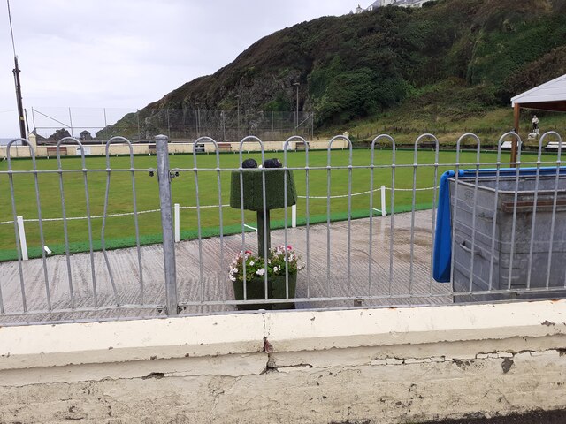
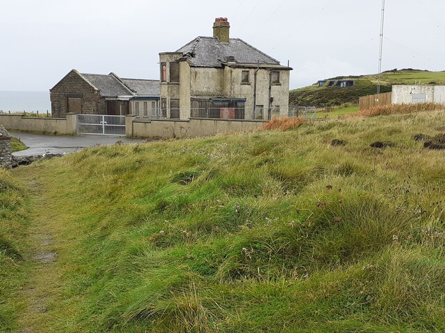
Big Isle Images

Images are sourced within 2km of 54.834489/-5.109172 or Grid Reference NX0053. Thanks to Geograph Open Source API. All images are credited.
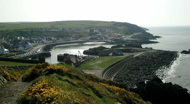
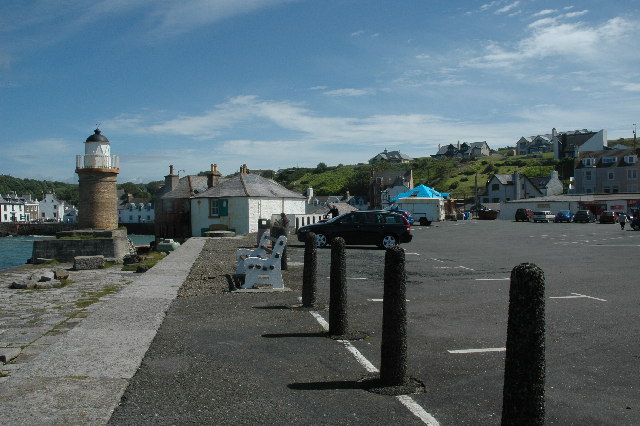
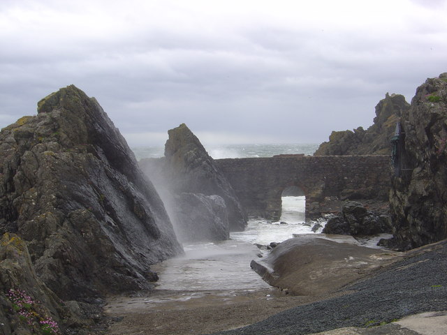
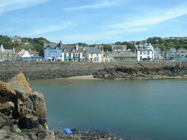
Portpatrick Bowling Green Taken from near the Clubhouse
Portpatrick Bowling Green
Taken from near the Clubhouse
Derelict radio station Becoming more derelict over the years.
Derelict radio station
Becoming more derelict over the years.
Portpatrick From the coast path to the north west, the start of the Southern Upland Way to Cockburnspath on the east coast.
Portpatrick
From the coast path to the north west, the start of the Southern Upland Way to Cockburnspath on the east coast.
A tribute to the Lifeboatmen of Portpatrick This is in memory of the Lifeboatmen of Portpatrick who, in January 1953, risked their lives to save the passengers and crew of the BR/S Princess Victoria during The Great Storm.
A tribute to the Lifeboatmen of Portpatrick
This is in memory of the Lifeboatmen of Portpatrick who, in January 1953, risked their lives to save the passengers and crew of the BR/S Princess Victoria during The Great Storm.
Car park at south end of Portpatrick Harbour Car park at south end of Portpatrick Harbour.
Car park at south end of Portpatrick Harbour
Car park at south end of Portpatrick Harbour.
Portpatrick This is a panoramic view on Portpatrick. Four pictures were used for this view and were stitched together using Panavue.
Portpatrick
This is a panoramic view on Portpatrick. Four pictures were used for this view and were stitched together using Panavue.
Port Patrick Hotel Taken from the old Harbour in Portpatrick up towards the hotel
Port Patrick Hotel
Taken from the old Harbour in Portpatrick up towards the hotel
Portpatrick Harbour My yacht 'Makushla' is the large yacht moored against the wall with the smaller one rafted against it.
Portpatrick Harbour
My yacht 'Makushla' is the large yacht moored against the wall with the smaller one rafted against it.
Portpatrick Waterfront Hotel
Portpatrick Harbour
Portpatrick Harbour
View from Portpatrick
The Portpatrick Hotel The hotel in the picture dominates the village of Portpatrick, and is The Portpatrick Hotel. It is late Victorian and is now owned by the Wallace Arnold Shearings Group.
The Portpatrick Hotel
The hotel in the picture dominates the village of Portpatrick, and is The Portpatrick Hotel. It is late Victorian and is now owned by the Wallace Arnold Shearings Group.
Portpatrick waterfront
The south side of Portpatrick Harbour
The Inner Harbour breakwater The breakwater connects the mainland [visible right] with a natural rock islet in the harbour, creating a totally sheltered 'arm' of the harbour.
The Inner Harbour breakwater
The breakwater connects the mainland [visible right] with a natural rock islet in the harbour, creating a totally sheltered 'arm' of the harbour.
Portpatrick waterfront, looking north And there's that hotel again, overlooking everything.....
Portpatrick waterfront, looking north
And there's that hotel again, overlooking everything.....
Blair Terrace, Portpatrick A street of many bed & breakfast establishments.
Blair Terrace, Portpatrick
A street of many bed & breakfast establishments.
Portpatrick Harbour entrance Looking south.
Portpatrick Harbour entrance
Looking south.
Show me another place!

Big Isle is located at Grid Ref: NX0053 (Lat: 54.834489, Lng: -5.109172)

Unitary Authority: Dumfries and Galloway

Police Authority: Dumfries and Galloway

What 3 Words

///contracting.removals.ruffle. Near Stranraer, Dumfries & Galloway

Related Wikis

Dunskey Castle

Dunskey Castle is a ruined, 12th-century tower house or castle, located 0.5 miles (0.80 km) south of the village of Portpatrick, Rhinns, Wigtownshire,...

Dunskey

Dunskey Estate (also known as Portree Estate) is north of Portpatrick on the west coast of Scotland. The B-listed mansion dates from the start of the twentieth...

Portpatrick railway station

Portpatrick railway station was a railway station serving the village of Portpatrick, Dumfries & Galloway, Scotland. Opened in 1862 the station served...
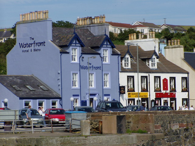
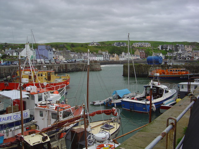
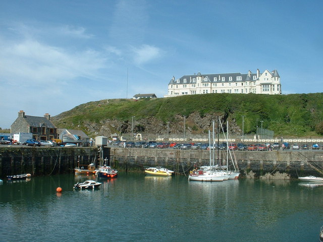
Portpatrick

Portpatrick is a village and civil parish in the historical county of Wigtownshire, Dumfries and Galloway, Scotland. It is located on the west coast of...

Knockinaam Lodge

Knockinaam Lodge is a hotel and restaurant located about 3.5 miles South of Portpatrick, Dumfries & Galloway, Scotland. As of 2008, the restaurant holds...

MV Craigantlet

MV Craigantlet was a German-owned, Cyprus-registered container ship operated on time-charter by Cawoods Containers Ltd of Belfast. She ran aground on 26...

Colfin railway station

Colfin railway station, located in Wigtownshire, Scotland, between Portpatrick and Stranraer, was a station on the Portpatrick and Wigtownshire Joint Railway...

Killantringan Lighthouse

Killantringan Lighthouse is a lighthouse located near Portpatrick in Dumfries and Galloway, south-west Scotland. The light came into operation in 1900...

Nearby Amenities

Located within 500m of 54.834489,-5.109172
Created By: dmgroom_coastlines
Source: PGS
Lat/Long: 54.837429/-5.11496
Created By: dmgroom_coastlines
Source: PGS
Lat/Long: 54.837305/-5.114731
Created By: dmgroom_coastlines
Source: PGS
Lat/Long: 54.837064/-5.113831
Created By: dmgroom_coastlines
Source: PGS
Lat/Long: 54.836941/-5.113603
Created By: dmgroom_coastlines
Source: PGS
Lat/Long: 54.836816/-5.113374
Created By: dmgroom_coastlines
Source: PGS
Lat/Long: 54.836692/-5.113146
Created By: dmgroom_coastlines
Source: PGS
Lat/Long: 54.836184/-5.112897
Created By: dmgroom_coastlines
Source: PGS
Lat/Long: 54.836071/-5.112004
Created By: dmgroom_coastlines
Source: PGS
Lat/Long: 54.835959/-5.11111
Created By: dmgroom_coastlines
Source: PGS
Lat/Long: 54.834939/-5.110836
Created By: dmgroom_coastlines
Source: PGS
Lat/Long: 54.834431/-5.110587
Created By: dmgroom_coastlines
Source: PGS
Lat/Long: 54.834567/-5.11015
Created By: dmgroom_coastlines
Source: PGS
Lat/Long: 54.834726/-5.108383
Created By: dmgroom_coastlines
Source: PGS
Lat/Long: 54.833702/-5.108329
Source: PGS
Lat/Long: 54.8335486/-5.1085145
Created By: dmgroom_coastlines
Source: PGS
Lat/Long: 54.833446/-5.108316
Created By: dmgroom_coastlines
Source: PGS
Lat/Long: 54.831914/-5.108015
Created By: dmgroom_coastlines
Source: PGS
Lat/Long: 54.83179/-5.107786
Created By: dmgroom_coastlines
Source: PGS
Lat/Long: 54.831666/-5.107558
Created By: dmgroom_coastlines
Source: PGS
Lat/Long: 54.831541/-5.107329
Created By: dmgroom_coastlines
Source: PGS
Lat/Long: 54.831429/-5.106436
Created By: dmgroom_coastlines
Source: PGS
Lat/Long: 54.830665/-5.106175
The data included in this document is from www.openstreetmap.org. The data is made available under ODbL.

Have you been to Big Isle?

Leave your review of Big Isle below (or comments, questions and feedback).