Am Fraoch-eilean

Island in Ross-shire

Scotland

Am Fraoch-eilean

Am Fraoch-eilean in Loch Duich I believe you can walk to this islet at low tide.
Am Fraoch-eilean in Loch Duich Credit: Julian Paren

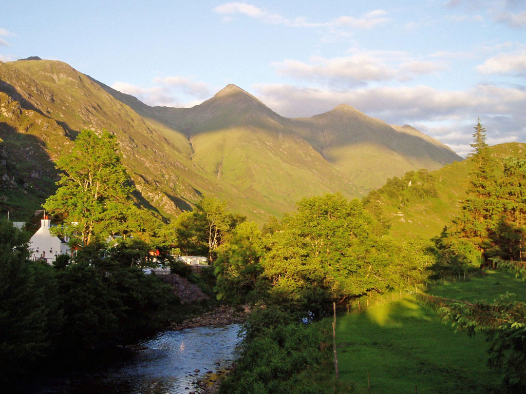
Am Fraoch-eilean, also known as the Isle of Roe, is a picturesque island located off the coast of Ross-shire in the Scottish Highlands. With a land area of approximately 0.1 square kilometers, it is a small but captivating destination for nature lovers and history enthusiasts.

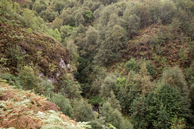
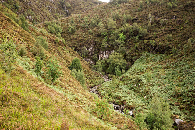
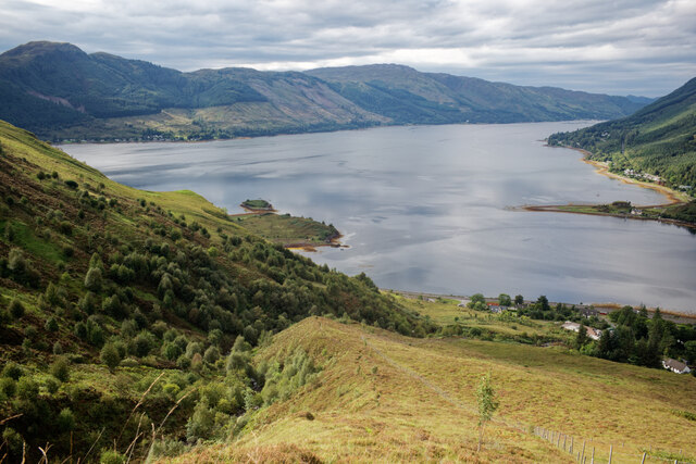
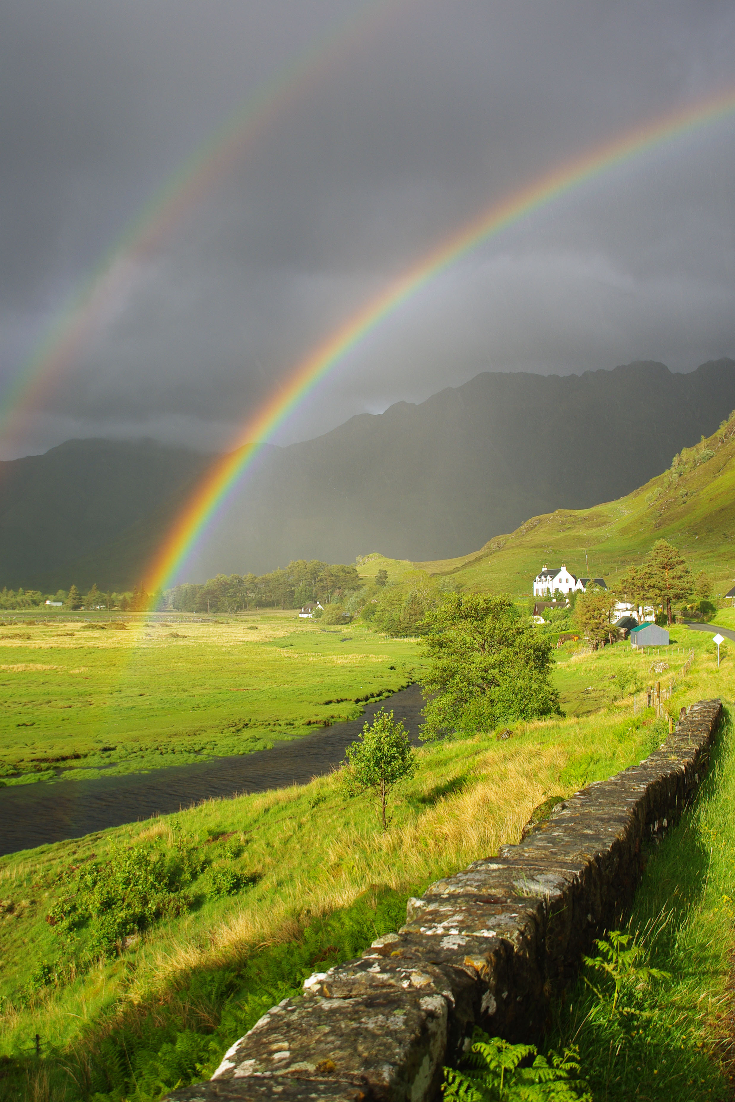
The island boasts stunning natural beauty, characterized by rugged cliffs, lush greenery, and panoramic views of the surrounding sea. It is home to a diverse range of flora and fauna, including various seabirds, seals, and otters. The island's coastline offers opportunities for coastal walks and birdwatching, providing visitors with a chance to immerse themselves in Scotland's wildlife.

One of the notable features of Am Fraoch-eilean is its rich historical significance. The island is known for its ancient ruins, including the remains of a medieval castle that dates back to the 13th century. The castle, situated atop a rocky outcrop, offers a glimpse into the island's past and provides a fascinating insight into Scottish history.

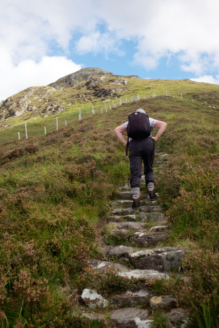
Access to Am Fraoch-eilean is primarily by boat, with regular ferry services available from nearby coastal towns. Visitors can explore the island on foot, taking in the scenic views and exploring the castle ruins. Camping is permitted on the island, allowing for a unique overnight experience in a serene and secluded environment.

Overall, Am Fraoch-eilean is a captivating island off the coast of Ross-shire, offering a blend of natural beauty and historical intrigue. Whether it's exploring the rugged coastline, discovering ancient ruins, or simply enjoying the tranquility of the island, this hidden gem provides a unique experience for all who visit.

If you have any feedback on the listing, please let us know in the comments section below.

Am Fraoch-eilean Images

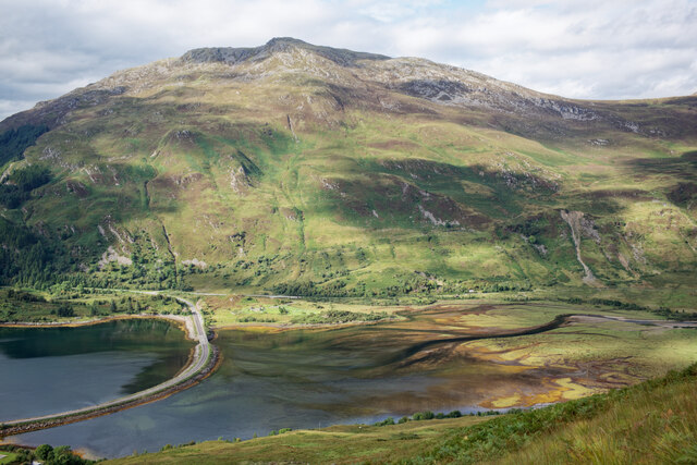
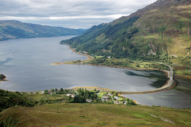
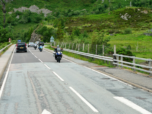
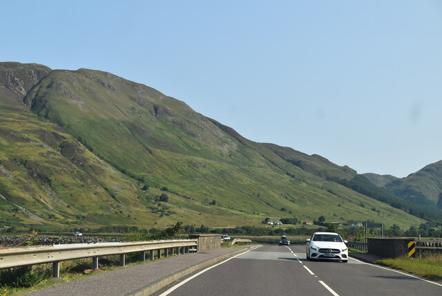
Images are sourced within 2km of 57.224838/-5.4170567 or Grid Reference NG9320. Thanks to Geograph Open Source API. All images are credited.

Am Fraoch-eilean in Loch Duich I believe you can walk to this islet at low tide.
Am Fraoch-eilean in Loch Duich
I believe you can walk to this islet at low tide.
Bay by the A87 in Kintail Looking to the eastern limb of Loch Duich.
Bay by the A87 in Kintail
Looking to the eastern limb of Loch Duich.
The steep valley of the Allt a' Chruinn, Kintail A stalkers' path follows the valley to the Five Sisters ridge.
The steep valley of the Allt a' Chruinn, Kintail
A stalkers' path follows the valley to the Five Sisters ridge.
The steep valley of the Allt a' Chruinn, Kintail The burn cuts a sharp defile on the steep slope.
The steep valley of the Allt a' Chruinn, Kintail
The burn cuts a sharp defile on the steep slope.
Staircase of the NTS path beside the Allt a' Chruinn Much care has been spent creating this path which follows a different route to the current (2021) OS mapping.
Staircase of the NTS path beside the Allt a' Chruinn
Much care has been spent creating this path which follows a different route to the current (2021) OS mapping.
Loch Duich from the hill path leaving  Allt a' Chruinn The village of Allt a' Chruinn is visible below.
Loch Duich from the hill path leaving Allt a' Chruinn
The village of Allt a' Chruinn is visible below.
The head of Loch Duich As seen from the hill path leaving Allt a' Chruinn.
The head of Loch Duich
As seen from the hill path leaving Allt a' Chruinn.
The village of Allt a' Chruinn at the head of Loch Duich This is a view after a rather steep section of the hill path beside the Allt a' Chruinn. The causeway that shortens the original A87 is clearly visible at the head of Loch Duich.
The village of Allt a' Chruinn at the head of Loch Duich
This is a view after a rather steep section of the hill path beside the Allt a' Chruinn. The causeway that shortens the original A87 is clearly visible at the head of Loch Duich.
South slopes of Sgurr an Airgid Looking across to Allt a' Chruinn.
South slopes of Sgurr an Airgid
Looking across to Allt a' Chruinn.
Forestry entrance near Inverinate
A87 at Inverinate
A87 at Inverinate
The A87 at  Ault a' Chruinn The village of Ault a'Chruinn is at the head of Loch Doich.
The A87 at Ault a' Chruinn
The village of Ault a'Chruinn is at the head of Loch Doich.
Ault a' Chruinn The village of Ault a'Chruinn is at the head of Loch Doich.
Ault a' Chruinn
The village of Ault a'Chruinn is at the head of Loch Doich.
Motorcyclists on the A87 Causeway near Ault a' Chruinn Crossing the causeway over the Croe estuary at the head of Loch Doich.
Motorcyclists on the A87 Causeway near Ault a' Chruinn
Crossing the causeway over the Croe estuary at the head of Loch Doich.
Westbound A87 near Loch Doich The A87 is a primary route  in the Highland region of Scotland. It runs west for 99 miles from its junction with the A82 at Invergarry, along the north shores of Loch Garry and Loch Cluanie, then through Glen Shiel and along Loch Duich to Kyle of Lochalsh before crossing the Skye Bridge to Kyleakin, Broadford, and Portree, before terminating at Uig in the north of the Isle of Skye.
Westbound A87 near Loch Doich
The A87 is a primary route in the Highland region of Scotland. It runs west for 99 miles from its junction with the A82 at Invergarry, along the north shores of Loch Garry and Loch Cluanie, then through Glen Shiel and along Loch Duich to Kyle of Lochalsh before crossing the Skye Bridge to Kyleakin, Broadford, and Portree, before terminating at Uig in the north of the Isle of Skye.
A87 at Inverinate
A87 at Inverinate
A87 near Allt a’ Chruinn
A87, Allt a' Chruinn The A87 runs 99 miles from Invergarry to Uig on the Isle of Skye <a href="https://www.geograph.org.uk/photo/7374675">NG3863 : End of the A87, Uig</a>.
<span class="nowrap"><a title="https://www.sabre-roads.org.uk/wiki/index.php?title=A87" rel="nofollow ugc noopener" href="https://www.sabre-roads.org.uk/wiki/index.php?title=A87">Link</a><img style="margin-left:2px;" alt="External link" title="External link - shift click to open in new window" src="https://s1.geograph.org.uk/img/external.png" width="10" height="10"/></span>
A87, Allt a' Chruinn
The A87 runs 99 miles from Invergarry to Uig on the Isle of Skye NG3863 : End of the A87, Uig. LinkExternal link
Show me another place!

Am Fraoch-eilean is located at Grid Ref: NG9320 (Lat: 57.224838, Lng: -5.4170567)

Unitary Authority: Highland

Police Authority: Highlands and Islands

What 3 Words

///pushing.fallback.tabloid. Near Glenelg, Highland

Related Wikis

Shiel Bridge

Shiel Bridge is a hamlet on the south east shore of Loch Duich at the foot of Glen Shiel, in the Lochalsh area of the Scottish Highlands. It is in the...

Ratagan

Ratagan (Ràtagan in Scottish Gaelic) is a small hamlet on the southwestern shore of the sea loch, Loch Duich in Lochalsh, Scottish Highlands and is in...

Glen Shiel

Glen Shiel (Scottish Gaelic: Gleann Seile; also known as Glenshiel) is a glen in the Northwest Highlands of Scotland. The glen runs approximately 9 miles...

Morvich, Highland

Morvich (Gaelic:A’ Mhormhaich) is a settlement in Glen Shiel near the southern end of Loch Duich, and to the north of Kintail, in Lochalsh, in the Highland...

Nearby Amenities

Located within 500m of 57.224838,-5.4170567
Moyvegan House
Tourism: guest_house
Lat/Long: 57.2213264/-5.4177672
Invershiel
Name Gd: Inbhir Seile
Place: hamlet
Lat/Long: 57.22102/-5.4178369
Power: pole
Lat/Long: 57.2241091/-5.4098176
Power: pole
Lat/Long: 57.2234337/-5.4114505
Power: pole
Lat/Long: 57.2230887/-5.4122839
Power: pole
Lat/Long: 57.22269/-5.4132505
Power: pole
Lat/Long: 57.222412/-5.413723
Power: pole
Lat/Long: 57.2218165/-5.4146751
Power: pole
Lat/Long: 57.221141/-5.4152928
Power: pole
Lat/Long: 57.2207134/-5.415678
The data included in this document is from www.openstreetmap.org. The data is made available under ODbL.

Have you been to Am Fraoch-eilean?

Leave your review of Am Fraoch-eilean below (or comments, questions and feedback).