Sgeir Dhubh

Island in Argyllshire

Scotland

Sgeir Dhubh

Junction of forestry roads near Barcaldine
Junction of forestry roads near Barcaldine Credit: Steven Brown

The requested URL returned error: 429 Too Many Requests

If you have any feedback on the listing, please let us know in the comments section below.

Sgeir Dhubh Images

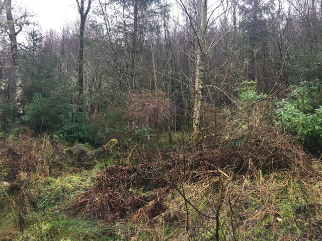
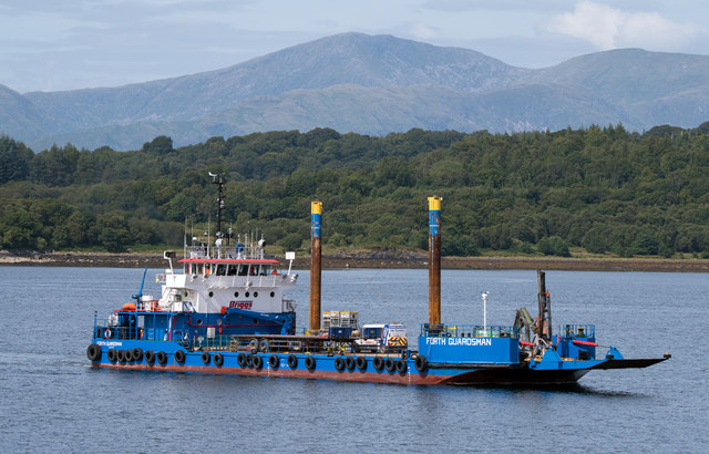
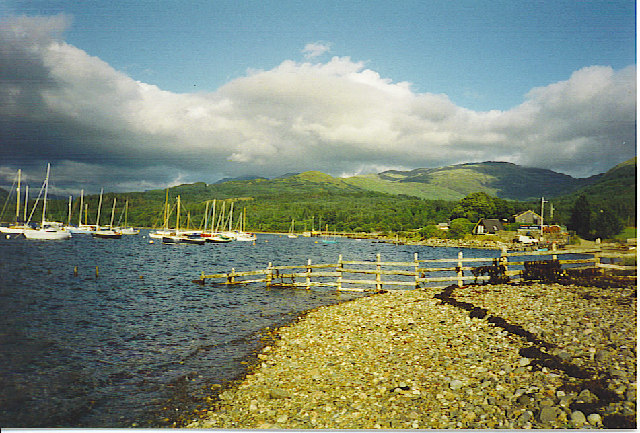
Images are sourced within 2km of 56.516845/-5.3613542 or Grid Reference NM9341. Thanks to Geograph Open Source API. All images are credited.

Junction of forestry roads near Barcaldine
Forestry road near Barcaldine
Loch Creran Loch Creran with anchored boats photographed from the Oban Sea Life Centre.
Loch Creran
Loch Creran with anchored boats photographed from the Oban Sea Life Centre.
Woodland near Barcaldine
Standing Stone near to Achanrear Trig Point
Achanrear Trig Point Flush Bracket 10247
Minor road towards Port Appin
Field, Dalrannoch
Field, Dalrannoch
Scots Pine at Dalrannoch Old scots pine at Dalrannoch.
Scots Pine at Dalrannoch
Old scots pine at Dalrannoch.
Looking north from Sgurr Mor
Fire break near the western edge of Barcaldine Forest
Lady Iona in Loch Creran Small boat used by Yeoman to ferry personnel between the depot at Rubha Garbh and the quarry at Glendanda.
Lady Iona in Loch Creran
Small boat used by Yeoman to ferry personnel between the depot at Rubha Garbh and the quarry at Glendanda.
Forth Guardsman in  Loch Creran Forth Guardsman - built 1982, ex-Rupert River, ex-Arctic Ignik - in Loch Creran, approaching the Yeoman quarries Rubha Garbh depot. Seems to be substituting while the regular boat Rose of Lorn is away, probably for annual refit - see <a href="https://www.geograph.org.uk/photo/2794155">NM9241 : Rose of Lorne - (3)</a> .
Forth Guardsman in Loch Creran
Forth Guardsman - built 1982, ex-Rupert River, ex-Arctic Ignik - in Loch Creran, approaching the Yeoman quarries Rubha Garbh depot. Seems to be substituting while the regular boat Rose of Lorn is away, probably for annual refit - see NM9241 : Rose of Lorne - (3) .
Timber operations near Dalrannoch
Oban Sea Life Centre
Rose of Lorne leaving Rubha Garbh The workboat Rose of Lorne heads down Loch Creran as it heads for the Yeoman quarry at Glensanda.
Rose of Lorne leaving Rubha Garbh
The workboat Rose of Lorne heads down Loch Creran as it heads for the Yeoman quarry at Glensanda.
A828 near Barcaldine
A828 near Rhugarbh
A828 near Rhugarbh
Show me another place!

Sgeir Dhubh is located at Grid Ref: NM9341 (Lat: 56.516845, Lng: -5.3613542)

Unitary Authority: Argyll and Bute

Police Authority: Argyll and West Dunbartonshire

What 3 Words

///helped.aquatics.verge. Near Oban, Argyll & Bute

Nearby Locations

Sgeir Dhubh

Related Wikis

Loch Creran

Loch Creran is a sea loch in Argyll, on the west coast of Scotland. It is about 10 kilometres (6.2 mi) long from its head at Invercreran to its mouth on...

Barcaldine House

Barcaldine House is a historic mansion in Barcaldine near Oban, Scotland, now a hotel. == History == === Campbell ownership 1709–1842 === The lands were...

Barcaldine, Argyll

Barcaldine (Scottish Gaelic: Am Barra Calltainn) is a small settlement in Scotland centred on the historic Barcaldine House and located on the banks of...

Barcaldine railway station

Barcaldine was a railway station located in Barcaldine, Argyll and Bute, near the southern shore of Loch Creran. It was on the Ballachulish branch line...

Nearby Amenities

Located within 500m of 56.516845,-5.3613542
Parking
Source: survey
Lat/Long: 56.5132255/-5.3597443
Place: farm
Lat/Long: 56.5131347/-5.3619198
Power: pole
Lat/Long: 56.5161514/-5.3535147
Power: pole
Lat/Long: 56.5154386/-5.3652761
Power: pole
Lat/Long: 56.5151601/-5.3653779
Power: pole
Lat/Long: 56.5146533/-5.365607
Power: pole
Lat/Long: 56.5142822/-5.3655137
Power: pole
Lat/Long: 56.5136244/-5.3652103
Power: pole
Lat/Long: 56.5130661/-5.3649515
Power: pole
Lat/Long: 56.5126535/-5.363651
Power: pole
Lat/Long: 56.5128191/-5.3632034
Power: pole
Lat/Long: 56.5129654/-5.3627812
The data included in this document is from www.openstreetmap.org. The data is made available under ODbL.

Have you been to Sgeir Dhubh?

Leave your review of Sgeir Dhubh below (or comments, questions and feedback).