A' Ghlas-sgeir

Island in Ross-shire

Scotland

A' Ghlas-sgeir

House at Allt-nan-sùgh Allt-nan-sùgh is a small, scattered settlement above Loch Long. The image was made in May 1995 when the property in view appeared to be in need of a new roof; in a later image it has clearly had one - <a title="https://www.geograph.org.uk/photo/3515162" href="https://www.geograph.org.uk/photo/3515162">Link</a> .
In the distance beyond the head of Loch Long are the peaks Ben Killilan and Sgùman Còinntich.
House at Allt-nan-sùgh Credit: Trevor Littlewood

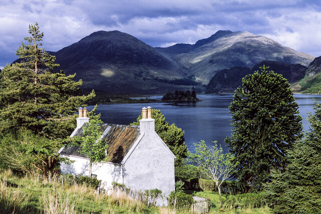
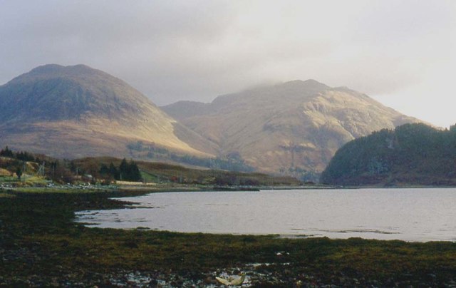
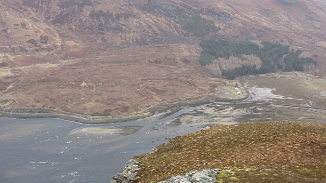
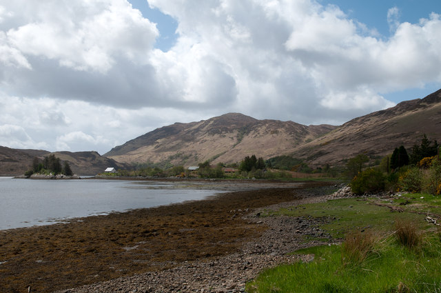
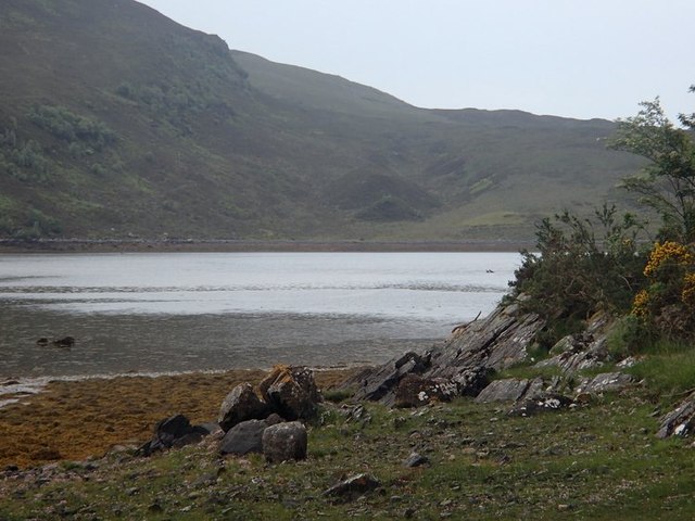
A' Ghlas-sgeir, also known as the Green Isle, is a small and uninhabited island located off the coast of Ross-shire in the Highlands of Scotland. Situated in the Inner Sound, between the mainland and the Isle of Skye, this rocky and rugged island covers an area of approximately 10 acres.

A' Ghlas-sgeir is primarily composed of ancient volcanic rock formations, with its highest point reaching around 80 feet above sea level. The island is characterized by its distinctive green appearance, attributed to the lush grasses and vegetation that cover its surface.

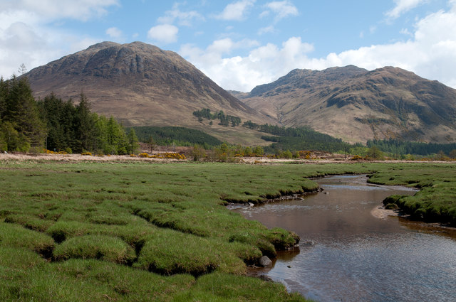
Due to its isolated and exposed location, A' Ghlas-sgeir is home to a wide variety of seabirds, including puffins, razorbills, and guillemots. These birds use the island as a breeding ground and can be observed nesting along the rocky cliffs.

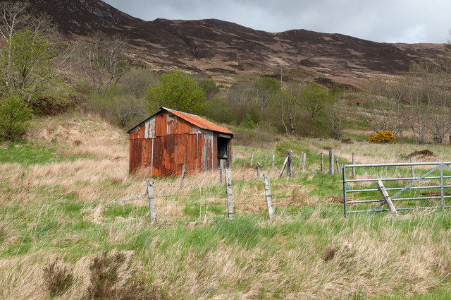
Access to A' Ghlas-sgeir is limited, as there are no regular ferry services or visitor facilities on the island. However, it is possible to visit the island by private boat or as part of a guided tour, offering a unique opportunity to witness the untouched beauty of this remote outpost.

Overall, A' Ghlas-sgeir is a picturesque and ecologically significant island, serving as a sanctuary for seabirds and a testament to the untamed natural beauty of the Scottish Highlands.

If you have any feedback on the listing, please let us know in the comments section below.

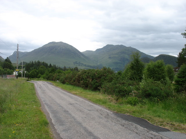
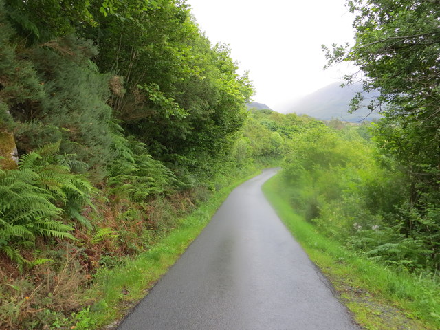
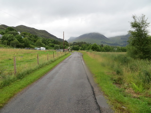
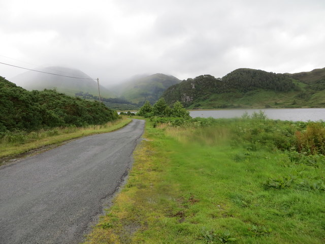
A' Ghlas-sgeir Images

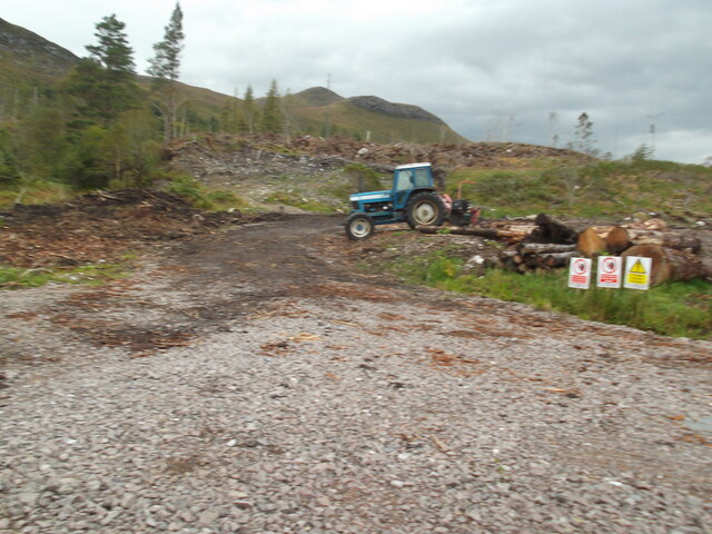
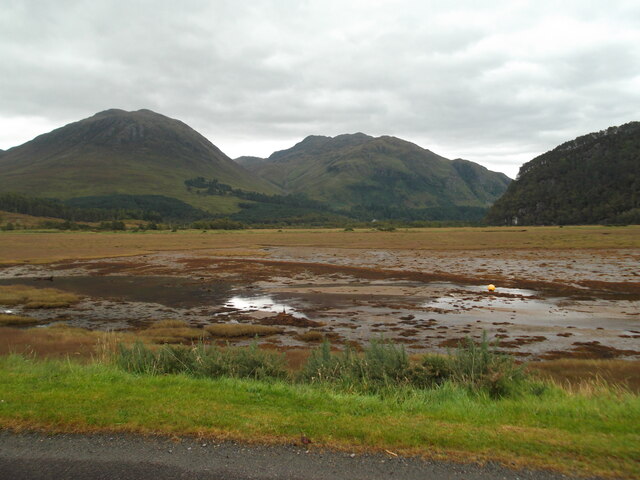
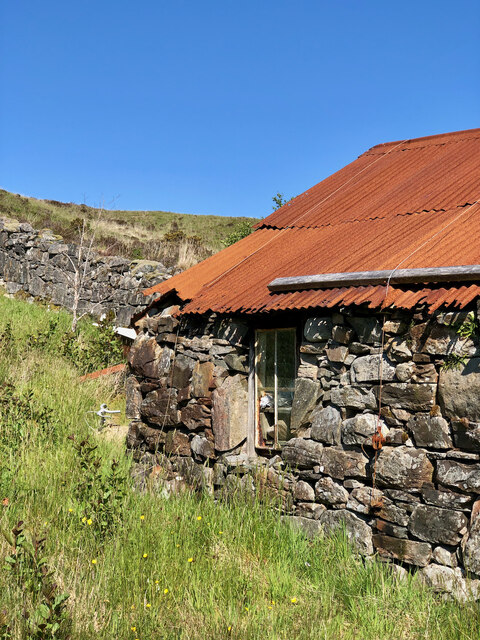
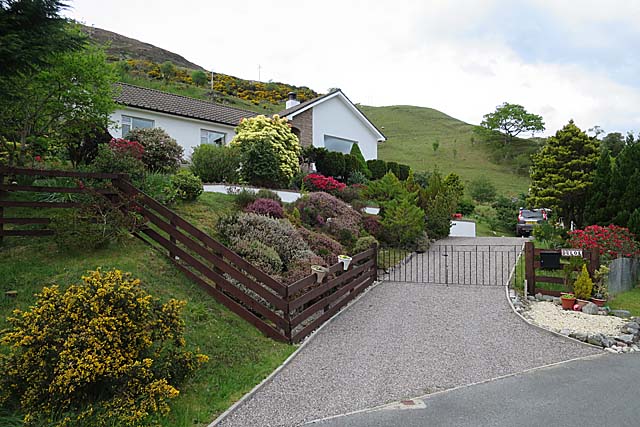
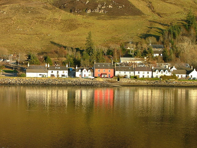
Images are sourced within 2km of 57.312182/-5.4681918 or Grid Reference NG9129. Thanks to Geograph Open Source API. All images are credited.

House at Allt-nan-sùgh Allt-nan-sùgh is a small, scattered settlement above Loch Long. The image was made in May 1995 when the property in view appeared to be in need of a new roof; in a later image it has clearly had one - <a title="https://www.geograph.org.uk/photo/3515162" href="https://www.geograph.org.uk/photo/3515162">Link</a> .
In the distance beyond the head of Loch Long are the peaks Ben Killilan and Sgùman Còinntich.
House at Allt-nan-sùgh
Allt-nan-sùgh is a small, scattered settlement above Loch Long. The image was made in May 1995 when the property in view appeared to be in need of a new roof; in a later image it has clearly had one - Link . In the distance beyond the head of Loch Long are the peaks Ben Killilan and Sgùman Còinntich.
Ebbing tide at Sallachy
The Arctic comes to Loch Long Tidal ice-cover breaks up on a winter morning.
The Arctic comes to Loch Long
Tidal ice-cover breaks up on a winter morning.
Beside Loch Long There are many longer lochs in Scotland, including the other Loch Long (west of Loch Lomond).
Beside Loch Long
There are many longer lochs in Scotland, including the other Loch Long (west of Loch Lomond).
Entering Sallachy The hills beyond are part of the extensive Killilan Forest.
Entering Sallachy
The hills beyond are part of the extensive Killilan Forest.
Minor road approaching Tornasithe Looking north-eastward.
Minor road approaching Tornasithe
Looking north-eastward.
Minor road approaching Sallachy Looking north-eastward.
Minor road approaching Sallachy
Looking north-eastward.
Road beside Loch Long heading towards Sean Tigh Osda Looking eastward.
Road beside Loch Long heading towards Sean Tigh Osda
Looking eastward.
Forest operations by Loch Long
Tide out at Sallachy
Rustic Charm—The Weathered Stone Barn with a Rusty Tin Roof
The Garden at Duloe A neat garden by the road, with the sort of rhododendrons and azaleas that do well in the north-west Highland climate.
The Garden at Duloe
A neat garden by the road, with the sort of rhododendrons and azaleas that do well in the north-west Highland climate.
Minor road near Allt-nan-Sugh Looking south-westward from 'The Berry'.
Minor road near Allt-nan-Sugh
Looking south-westward from 'The Berry'.
Head of Loch Long Braiding and alluvial deposits at the head of a sea loch.
Head of Loch Long
Braiding and alluvial deposits at the head of a sea loch.
Corrugated metal building near Sallachy Sallachy is a settlement of scattered homes on the north side of Loch Long; the building seen here lies to the west of the village on the lower slopes of Creag Mhòr.
Corrugated metal building near Sallachy
Sallachy is a settlement of scattered homes on the north side of Loch Long; the building seen here lies to the west of the village on the lower slopes of Creag Mhòr.
Saltmarsh at head of Loch Long Loch Long is a narrow offshoot of Loch Duich; the mountains that rise beyond its head are Beinn Killilan and Sguman Coinntich, the latter being a Corbett.
Saltmarsh at head of Loch Long
Loch Long is a narrow offshoot of Loch Duich; the mountains that rise beyond its head are Beinn Killilan and Sguman Coinntich, the latter being a Corbett.
Loch Long at Sallachy Sallachy is a dispersed collection of homes lying on the north side of Loch Long; Beinn Conchra is the mountain in the distance.
Loch Long at Sallachy
Sallachy is a dispersed collection of homes lying on the north side of Loch Long; Beinn Conchra is the mountain in the distance.
Loch Long view There are splendid, ever-changing local views on the drive by the loch, for example here at Sallachy.
Loch Long view
There are splendid, ever-changing local views on the drive by the loch, for example here at Sallachy.
Show me another place!

A' Ghlas-sgeir is located at Grid Ref: NG9129 (Lat: 57.312182, Lng: -5.4681918)

Unitary Authority: Highland

Police Authority: Highlands and Islands

What 3 Words

///holidays.unroll.modem. Near Lochcarron, Highland

Nearby Locations

A' Ghlas-sgeir

Related Wikis

Loch Long, Highlands

Loch Long is a sea loch situated on the western coast of Scotland, in the Highlands. It is a popular destination for tourists and fishers. The nearby...

Sallachy

Sallachy (Scottish Gaelic: Salachaidh) is a hamlet on the north shore of Loch Long in the district of Skye and Lochalsh in the Scottish Highlands and is...

Loch Anna

Loch Anna is a small, upland, freshwater loch approximately 2.4 km (1.5 mi) north of Loch Alsh at Ardelve, in Lochalsh, Scotland. It lies in a northwest...

Killilan

Killilan (Scottish Gaelic: Cill Fhaolain) is a remote hamlet, at the base of Ben Killilan, at the east end of Loch Long, in Lochalsh in the Highlands of...

Camas Luinie

Camas Luinie (Scottish Gaelic: Camas Luinge) is a hamlet in Lochalsh, Scottish Highlands and is in the council area of Highland. It is the start of the...

Dornie

Dornie (Scottish Gaelic: An Dòrnaidh) is a small former fishing village in the Lochalsh district in western Ross-shire Highlands of Scotland (2006 census...

Eilean Donan

Eilean Donan (Scottish Gaelic: Eilean Donnain) is a small tidal island situated at the confluence of three sea lochs (Loch Duich, Loch Long and Loch Alsh...

Capture of Eilean Donan Castle

The Capture of Eilean Donan Castle was an land-based naval engagement that took place in 1719 during the British Jacobite rising of that year, and the...

Nearby Amenities

Located within 500m of 57.312182,-5.4681918
Source: PGS
Lat/Long: 57.3137583/-5.4736272
Source: PGS
Lat/Long: 57.3132898/-5.4711228
Source: PGS
Lat/Long: 57.3132372/-5.4707657
Source: PGS
Lat/Long: 57.3126437/-5.4697227
Source: PGS
Lat/Long: 57.3123118/-5.4697848
Source: PGS
Lat/Long: 57.3123141/-5.4691801
Source: PGS
Lat/Long: 57.3126312/-5.4685907
Source: PGS
Lat/Long: 57.3133104/-5.468403
Created By: almien_coastlines
Source: PGS
Lat/Long: 57.31396/-5.467696
Source: PGS
Lat/Long: 57.3142521/-5.4676496
Source: PGS
Lat/Long: 57.3150955/-5.4677577
Source: PGS
Lat/Long: 57.3157484/-5.4649325
Source: PGS
Lat/Long: 57.3156024/-5.4640017
Source: PGS
Lat/Long: 57.3088228/-5.4651535
Source: PGS
Lat/Long: 57.3083967/-5.4676962
Source: PGS
Lat/Long: 57.3084524/-5.4683427
Created By: almien_coastlines
Source: PGS
Lat/Long: 57.30894/-5.469015
Created By: almien_coastlines
Source: PGS
Lat/Long: 57.309059/-5.469496
Source: PGS
Lat/Long: 57.3095544/-5.4710179
Source: PGS
Lat/Long: 57.3097236/-5.4720551
Source: PGS
Lat/Long: 57.3097704/-5.4724144
Power: pole
Lat/Long: 57.3160551/-5.4708806
Power: pole
Lat/Long: 57.3156259/-5.47051
Power: pole
Lat/Long: 57.3152439/-5.4701659
Power: pole
Lat/Long: 57.3151654/-5.4721452
Power: pole
Lat/Long: 57.3153983/-5.4713167
The data included in this document is from www.openstreetmap.org. The data is made available under ODbL.

Have you been to A' Ghlas-sgeir?

Leave your review of A' Ghlas-sgeir below (or comments, questions and feedback).