Plocach

Island in Argyllshire

Scotland

Plocach

Clach Toll Natural Arch
Clach Toll Natural Arch Credit: thejackrustles

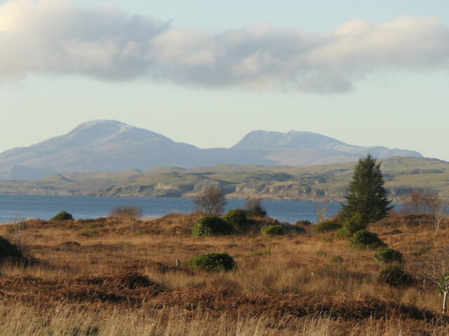
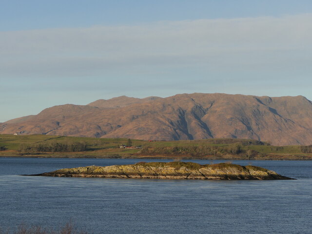
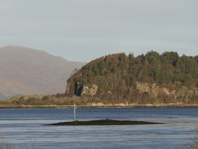
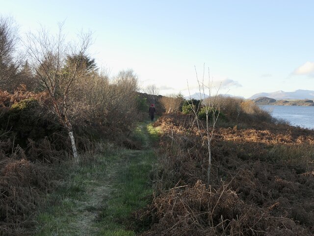
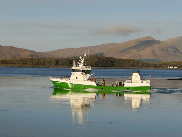
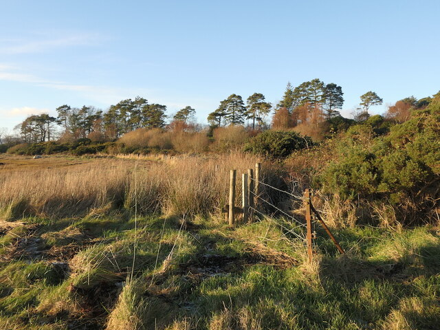
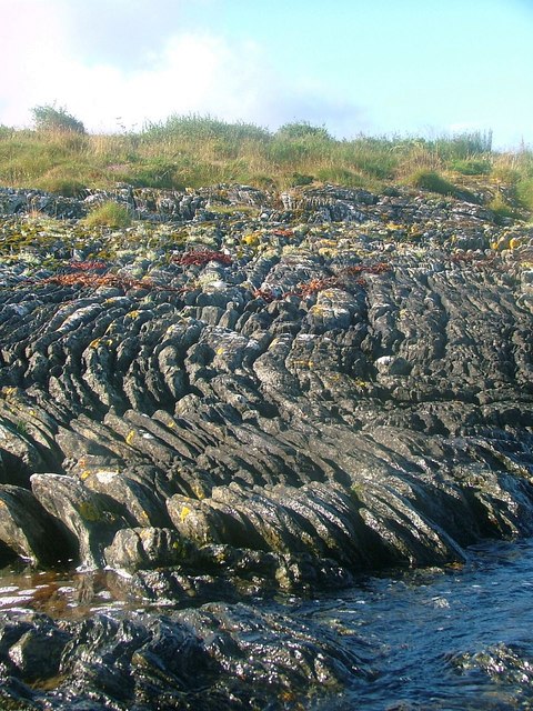
Plocach is a small island located off the coast of Argyllshire, Scotland. Situated in the Inner Hebrides, this picturesque island spans an area of approximately 3 square miles. Plocach is known for its stunning natural beauty, with rugged coastline, rolling hills, and abundant wildlife.

The island is sparsely populated, with only a handful of residents who primarily engage in fishing and farming. The local community on Plocach is tight-knit, fostering a strong sense of community spirit and traditional island life. The main settlement on the island is a small village called Port Plocach, which serves as the central hub for basic amenities such as a general store, a primary school, and a post office.

Nature enthusiasts are drawn to Plocach for its diverse flora and fauna. The island is home to a variety of bird species, including puffins, gannets, and eagles, making it a popular destination for birdwatching. The surrounding waters are teeming with marine life, and visitors can often spot seals, dolphins, and even whales during certain times of the year.

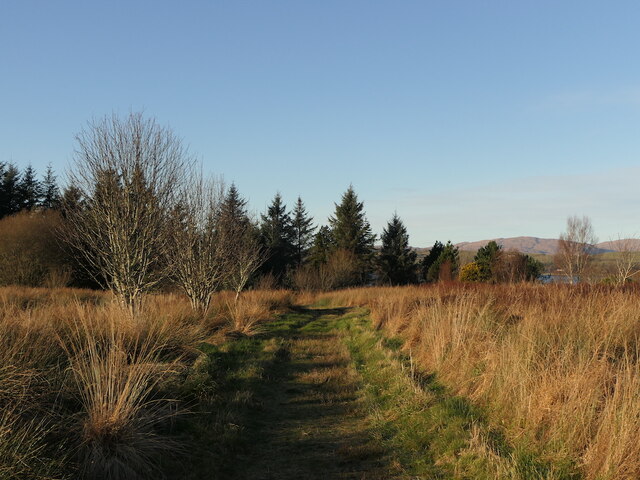
Plocach offers an ideal setting for outdoor activities such as hiking, cycling, and kayaking. The island's rugged terrain provides numerous trails and paths, allowing visitors to explore its scenic landscapes and breathtaking vistas. The coastal areas are perfect for water-based activities, with crystal-clear waters and secluded coves to discover.

For those seeking a peaceful retreat in a stunning natural setting, Plocach in Argyllshire is a hidden gem that promises tranquility and an authentic island experience.

If you have any feedback on the listing, please let us know in the comments section below.
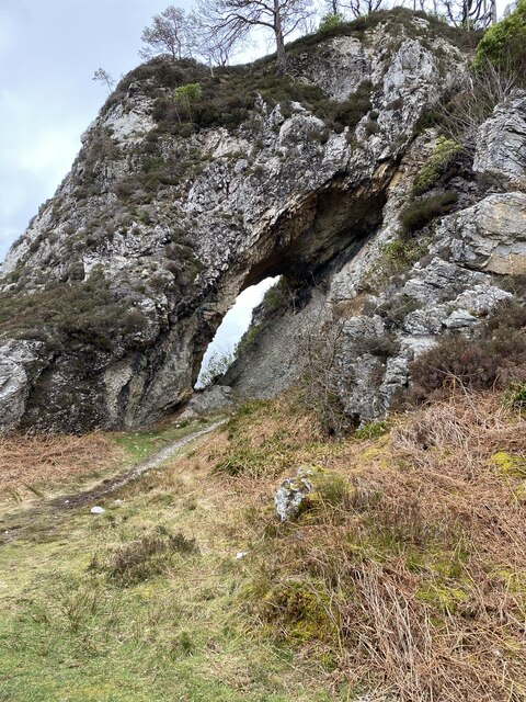
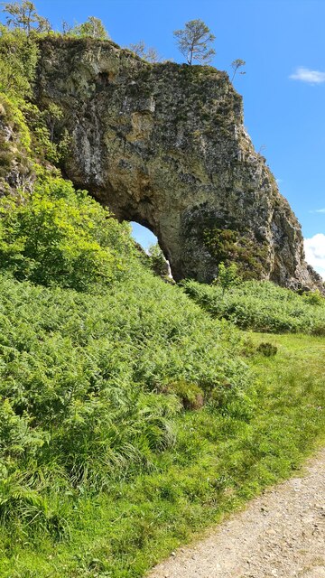
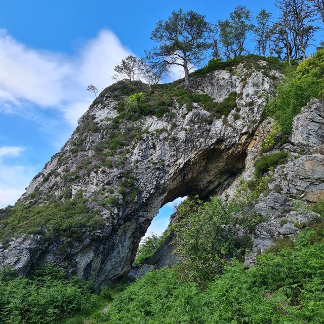
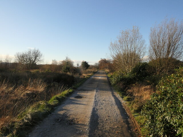
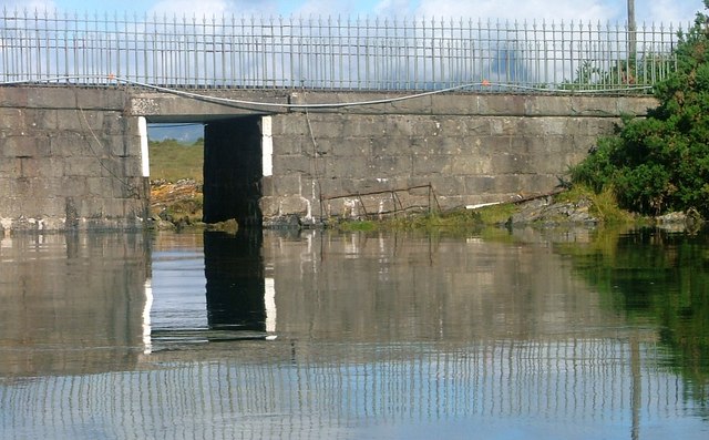
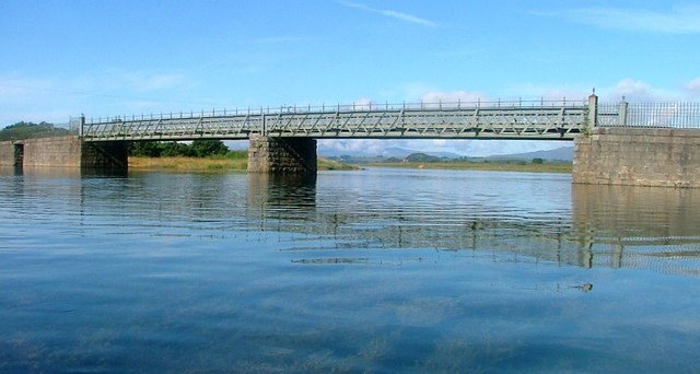
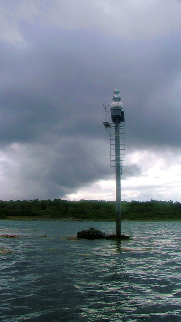
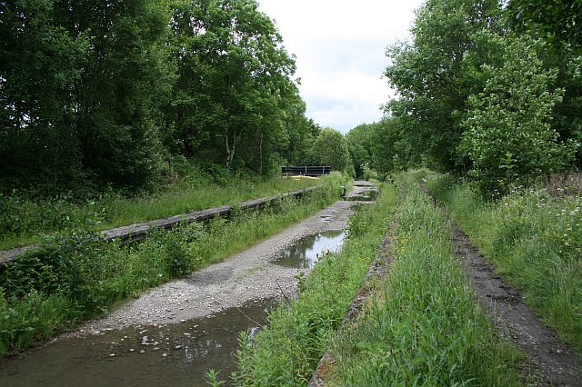
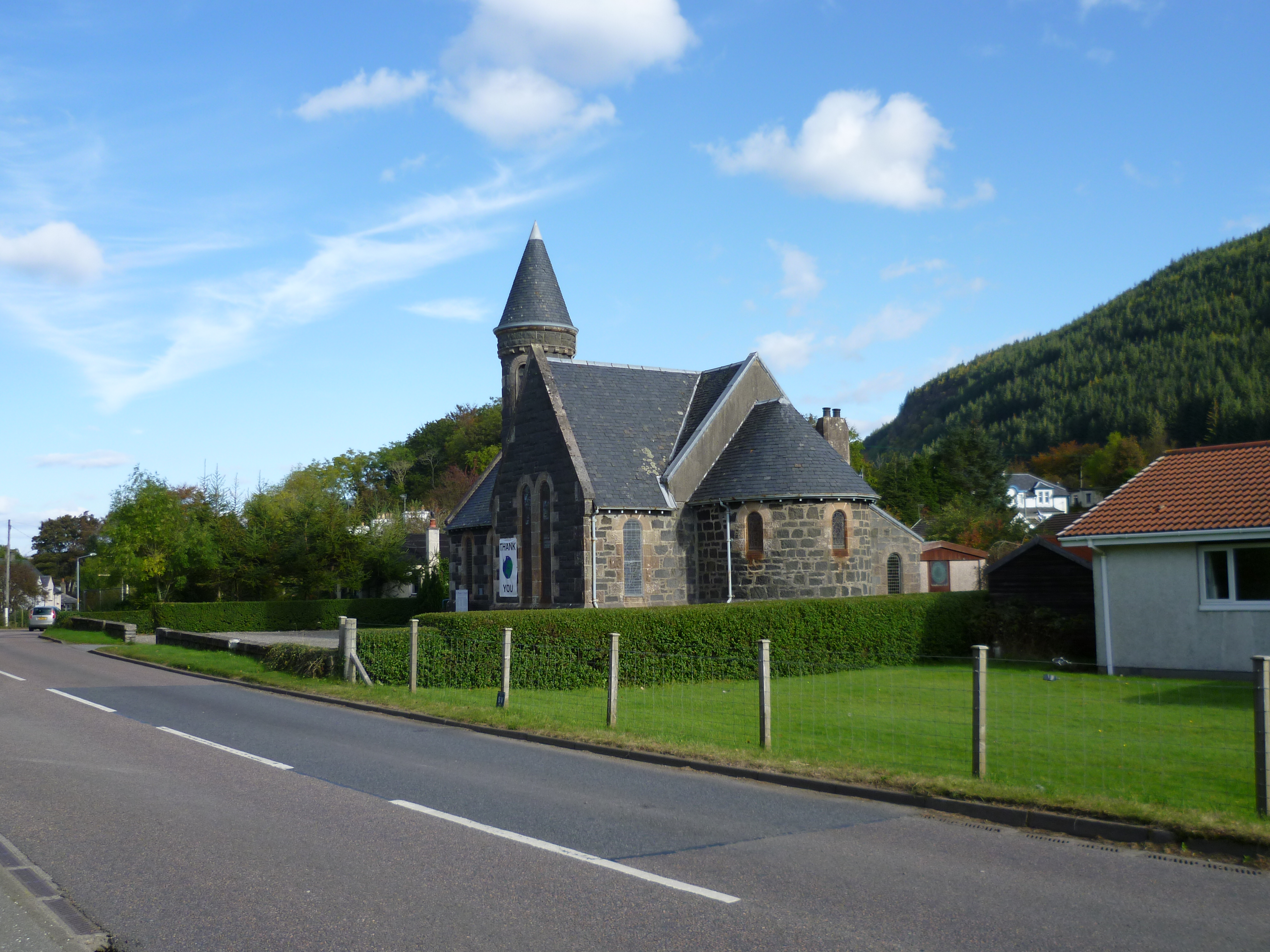
Plocach Images

Images are sourced within 2km of 56.536776/-5.3969971 or Grid Reference NM9143. Thanks to Geograph Open Source API. All images are credited.

Clach Toll Natural Arch
Natural arch, Clach Thoull
Road to Lymphoy, Eriska
Rough ground, Eriska Eriska is a rough island, but is blessed with a good path network so is easier to get around than the neighbouring peninsula. The ground here is boggy, a raised beach. There is an issue with Rhododendron ponticum unfortunately.
The hills are Creach Bheinn and Ben Buie on Mull with Lismore in the middle distance.
Rough ground, Eriska
Eriska is a rough island, but is blessed with a good path network so is easier to get around than the neighbouring peninsula. The ground here is boggy, a raised beach. There is an issue with Rhododendron ponticum unfortunately. The hills are Creach Bheinn and Ben Buie on Mull with Lismore in the middle distance.
Path, Eriska The very rough terrain and vegetation is somewhat tamed by a fine path network.
Path, Eriska
The very rough terrain and vegetation is somewhat tamed by a fine path network.
Glas Eilean and Lismore View from Eriska with the Kingairloch hills in the background.
Glas Eilean and Lismore
View from Eriska with the Kingairloch hills in the background.
Dearg Sgeir With a navigation beacon. There was a strong flow out of Loch Creran at the time.
Dearg Sgeir
With a navigation beacon. There was a strong flow out of Loch Creran at the time.
Coast path, Eriska A blessing on a rough island.
Coast path, Eriska
A blessing on a rough island.
Ocean Aquila leaves Loch Creran A fish farm service vessel.
Ocean Aquila leaves Loch Creran
A fish farm service vessel.
South side of Eriska East of the bridge.
South side of Eriska
East of the bridge.
Minor road near Isle of Eriska
Eriska Shoreline
Eriska Shoreline
Underpass under Eriska Causeway I assume for cattle.
Underpass under Eriska Causeway
I assume for cattle.
Eriska Bridge Connecting Eriska with the mainland and spanning the An Doirlinn.
Eriska Bridge
Connecting Eriska with the mainland and spanning the An Doirlinn.
Navigation Post, Dearg Sgeir
Coastline at Rubha Clach Tholl
Clach Thoull The name meaning 'holed rock'. Clach Thoull was created when the sea level was much higher than presently and the land was formed. A prominent narrow spit of land some 150 feet high runs north-easterly from here for three-quarter of a mile with many small caves.
Clach Thoull
The name meaning 'holed rock'. Clach Thoull was created when the sea level was much higher than presently and the land was formed. A prominent narrow spit of land some 150 feet high runs north-easterly from here for three-quarter of a mile with many small caves.
Show me another place!

Plocach is located at Grid Ref: NM9143 (Lat: 56.536776, Lng: -5.3969971)

Unitary Authority: Argyll and Bute

Police Authority: Argyll and West Dunbartonshire

What 3 Words

///vouch.drizzly.inspected. Near Oban, Argyll & Bute

Related Wikis

Eriska

Eriska is a flat tidal island at the entrance to Loch Creran on the west coast of Scotland. Privately owned by the Buchanan-Smiths from 1973 until August...

Airds Bay

Airds Bay is a small bay south-west of Port Appin on the west coast of Scotland. It is located at the south-western end of Appin in Argyll and Bute, forming...

Appin

Appin (Scottish Gaelic: An Apainn) is a coastal district of the Scottish West Highlands bounded to the west by Loch Linnhe, to the south by Loch Creran...

Loch Creran

Loch Creran is a sea loch in Argyll, on the west coast of Scotland. It is about 10 kilometres (6.2 mi) long from its head at Invercreran to its mouth on...

Castle Stalker

Castle Stalker (Scottish Gaelic: Caisteal an Stalcaire) is a four-storey tower house or keep in the Scottish county Argyll. It is set on a tidal islet...

Appin railway station

Appin was a railway station in Scotland, close to the Sound of Shuna on the east shore of Loch Laiche - an arm of Loch Linnhe, Portnacroish, Appin in Argyll...

Tirefour Castle

Tirefour Castle, (or Tirefour Broch, also spelled Tirfuir and Tirrefour) is an Iron Age broch located 4 kilometres north of Achnacroish on the island of...

Benderloch

Benderloch (Scottish Gaelic: Meadarloch, pronounced [ˈmet̪əɾl̪ˠɔx]) is a village in Argyll and Bute, Scotland. The name is derived from Beinn eadar dà...

Nearby Amenities

Located within 500m of 56.536776,-5.3969971
Post Box
Collection Times: Mo-Fr 09:00; Sa 07:00
Operator: Royal Mail
Operator Wikidata: Q638098
Post Box Mounting: pier
Post Box Type: lamp
Ref: PA38 176
Source: survey
Lat/Long: 56.5348924/-5.3898283
Seamark Beacon Lateral Category: starboard
Seamark Beacon Lateral Colour: green
Seamark Beacon Lateral System: iala-a
Seamark Information: Visible 128° - 329°
Seamark Light Character: Q
Seamark Light Colour: green
Seamark Light Height: 2
Seamark Light Range: 2
Seamark Light Reference: A 4165
Seamark Light Visibility: part_obscured
Seamark Name: Rubha nam Faoileann (Eriska)
Seamark Type: beacon_lateral
Source: US NGA Pub. 114. 2011-05-26.
Lat/Long: 56.5366333/-5.4016333
Power: pole
Lat/Long: 56.5398514/-5.3914137
Power: pole
Lat/Long: 56.53918/-5.3919705
Power: pole
Lat/Long: 56.5384378/-5.39259
Power: pole
Lat/Long: 56.5367984/-5.3921074
Power: pole
Lat/Long: 56.5362703/-5.3918836
Power: pole
Lat/Long: 56.5359921/-5.3908588
Power: pole
Lat/Long: 56.5356725/-5.3896816
Power: pole
Lat/Long: 56.5392993/-5.392467
Power: pole
Lat/Long: 56.5396789/-5.3935107
Power: pole
Lat/Long: 56.5350232/-5.3908716
Power: pole
Lat/Long: 56.5344114/-5.3919928
The data included in this document is from www.openstreetmap.org. The data is made available under ODbL.

Have you been to Plocach?

Leave your review of Plocach below (or comments, questions and feedback).