An Carn
Island in Argyllshire
Scotland
An Carn
An Carn is a small island located in Argyllshire, off the western coast of Scotland. It is part of the Inner Hebrides archipelago and is situated in the Sound of Islay, between the islands of Islay and Jura. The island covers an area of approximately 1 square kilometer and is largely uninhabited.
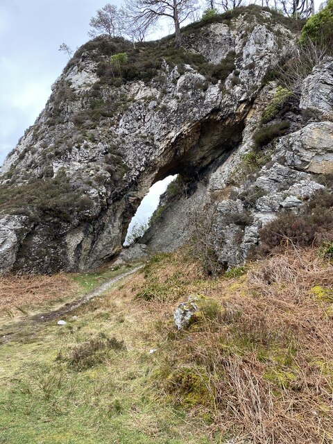
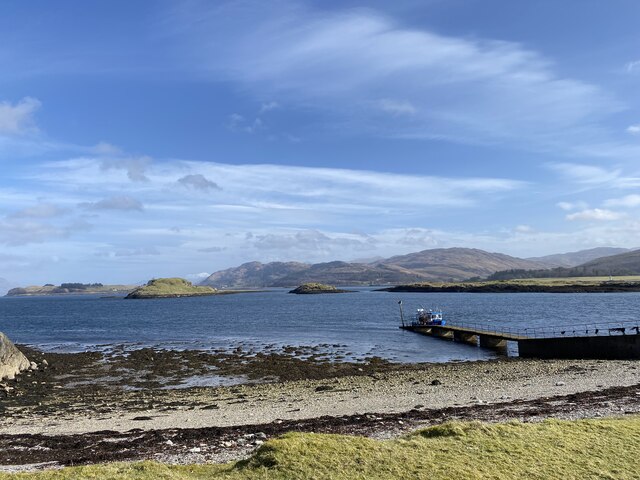
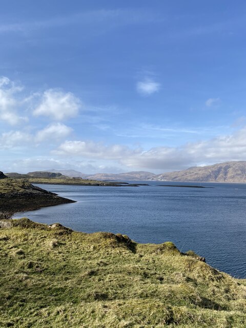
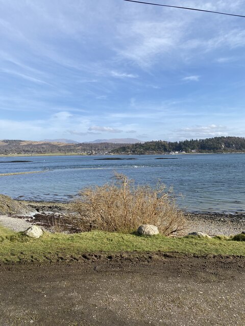
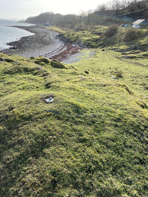
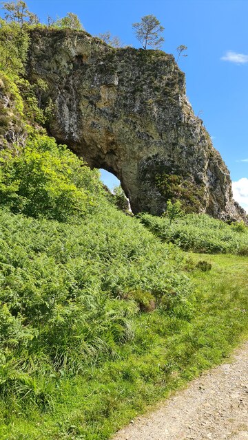
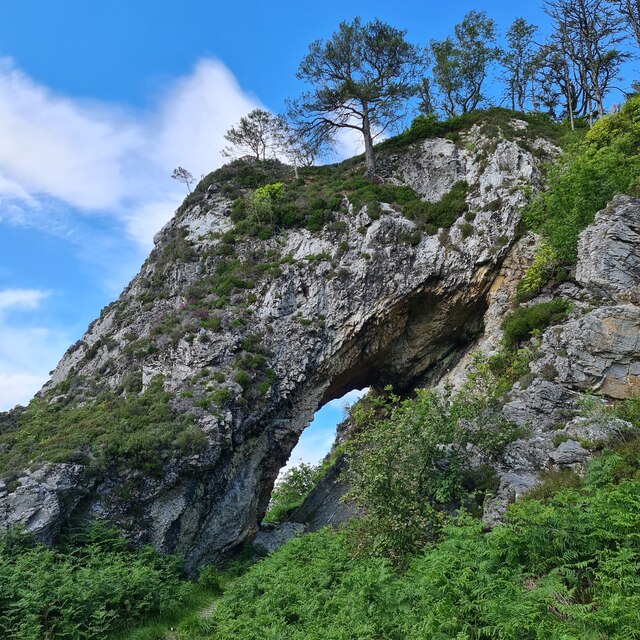
An Carn is known for its rugged and picturesque landscape, characterized by rocky cliffs, pebble beaches, and rolling hills. The island is rich in natural beauty, with a diverse range of flora and fauna. Seabirds such as puffins, gannets, and guillemots can often be spotted nesting along the coastal cliffs, while seals and otters can be seen swimming in the surrounding waters.
The island is accessible by boat, with regular ferry services connecting it to the nearby mainland and other islands in the region. An Carn offers a tranquil and peaceful environment, making it a popular destination for nature lovers, birdwatchers, and those seeking solitude.
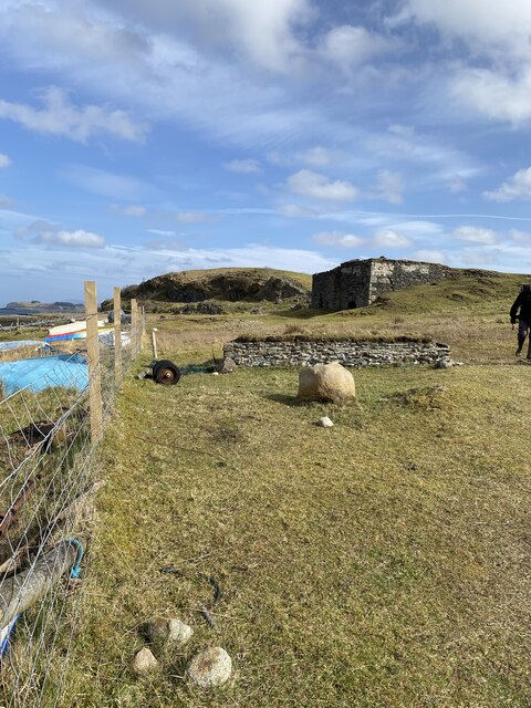
Visitors to An Carn can enjoy a range of outdoor activities, including hiking, birdwatching, and fishing. The island also has several designated camping areas, allowing visitors to spend the night and experience the island's serene atmosphere under the starry sky.
Overall, An Carn is a hidden gem in Argyllshire, offering a unique and unspoiled natural environment for those who appreciate the beauty of the Scottish islands.
If you have any feedback on the listing, please let us know in the comments section below.
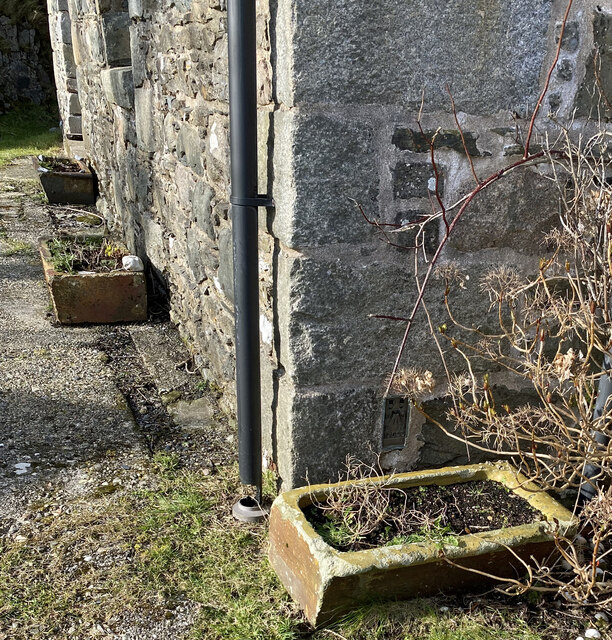
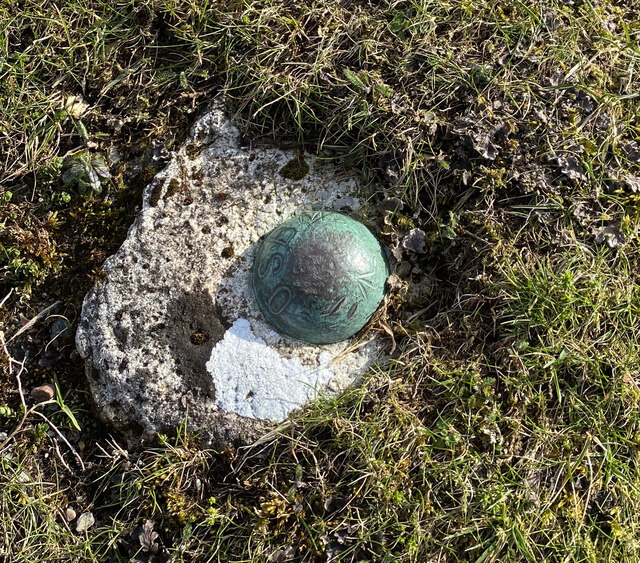
An Carn Images
Images are sourced within 2km of 56.564079/-5.4173084 or Grid Reference NM9046. Thanks to Geograph Open Source API. All images are credited.


An Carn is located at Grid Ref: NM9046 (Lat: 56.564079, Lng: -5.4173084)
Unitary Authority: Argyll and Bute
Police Authority: Argyll and West Dunbartonshire
What 3 Words
///users.exulted.decades. Near Oban, Argyll & Bute
Nearby Locations
Related Wikis

Airds Bay
Airds Bay is a small bay south-west of Port Appin on the west coast of Scotland. It is located at the south-western end of Appin in Argyll and Bute, forming...

Castle Stalker
Castle Stalker (Scottish Gaelic: Caisteal an Stalcaire) is a four-storey tower house or keep in the Scottish county Argyll. It is set on a tidal islet...
Appin railway station
Appin was a railway station in Scotland, close to the Sound of Shuna on the east shore of Loch Laiche - an arm of Loch Linnhe, Portnacroish, Appin in Argyll...

Shuna Island
Shuna Island or simply Shuna is an island in Loch Linnhe, offshore from Appin, in Argyll and Bute, Scotland. The island is approximately two kilometres...

Appin
Appin (Scottish Gaelic: An Apainn) is a coastal district of the Scottish West Highlands bounded to the west by Loch Linnhe, to the south by Loch Creran...

Eriska
Eriska is a flat tidal island at the entrance to Loch Creran on the west coast of Scotland. Privately owned by the Buchanan-Smiths from 1973 until August...

Tirefour Castle
Tirefour Castle, (or Tirefour Broch, also spelled Tirfuir and Tirrefour) is an Iron Age broch located 4 kilometres north of Achnacroish on the island of...

St Moluag's Cathedral, Lismore
St Moluag's Cathedral is located on the Scottish island of Lismore just off the coast of Oban. As a congregation of the Church of Scotland, which is Presbyterian...
Nearby Amenities
Located within 500m of 56.564079,-5.4173084Have you been to An Carn?
Leave your review of An Carn below (or comments, questions and feedback).