Eilean nan Chaorainn
Island in Argyllshire
Scotland
Eilean nan Chaorainn
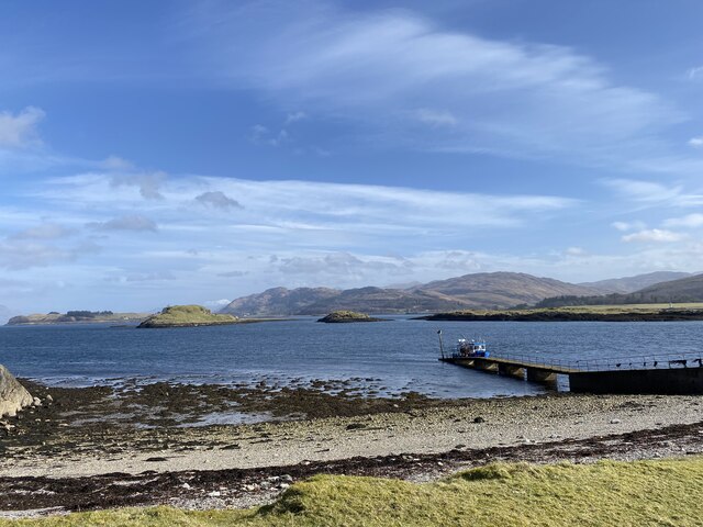
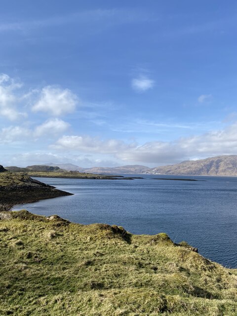
Eilean nan Chaorainn is a small island located in Argyllshire, Scotland. It is situated in the Inner Hebrides, off the west coast of the mainland. The island is known for its stunning natural beauty and rich history.
With an area of approximately 30 acres, Eilean nan Chaorainn is a relatively small island. It is characterized by rugged terrain, featuring rocky cliffs, lush greenery, and rolling hills. The island is uninhabited, making it a peaceful and secluded retreat for nature enthusiasts and those seeking solitude.
Despite its small size, Eilean nan Chaorainn boasts a diverse range of flora and fauna. The island is home to a variety of bird species, including puffins, guillemots, and razorbills, making it a popular destination for birdwatchers. Additionally, the surrounding waters are teeming with marine life, providing ample opportunities for fishing and diving.
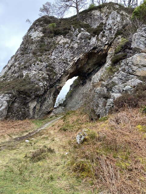
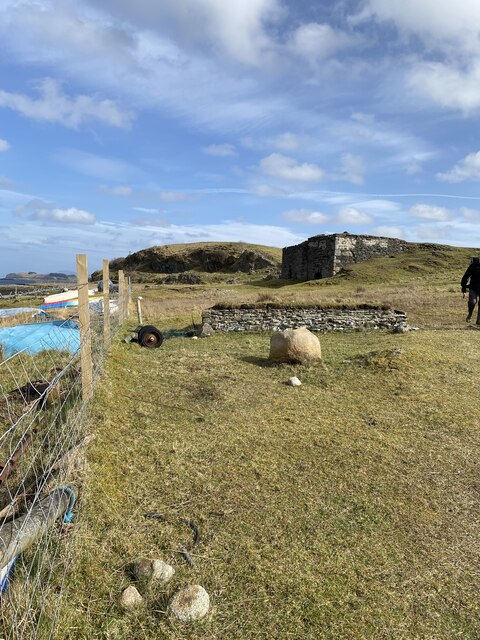
Historically, Eilean nan Chaorainn has played a significant role in the region. It is believed to have been inhabited by early settlers, and there are remnants of ancient structures on the island, including burial sites and standing stones. These archaeological remains offer a glimpse into the island's past and provide valuable insights into the lives of its former inhabitants.
Accessible by boat, Eilean nan Chaorainn offers visitors a chance to disconnect from the hustle and bustle of modern life and immerse themselves in nature. Its untouched beauty and rich history make it a captivating destination for those seeking tranquility and exploration.
If you have any feedback on the listing, please let us know in the comments section below.
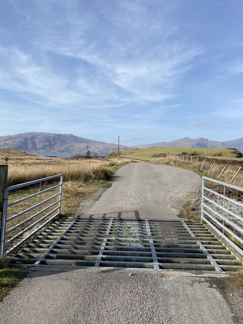
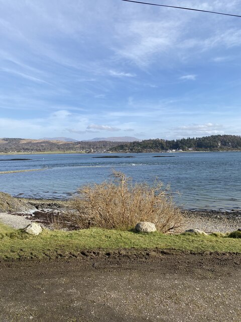
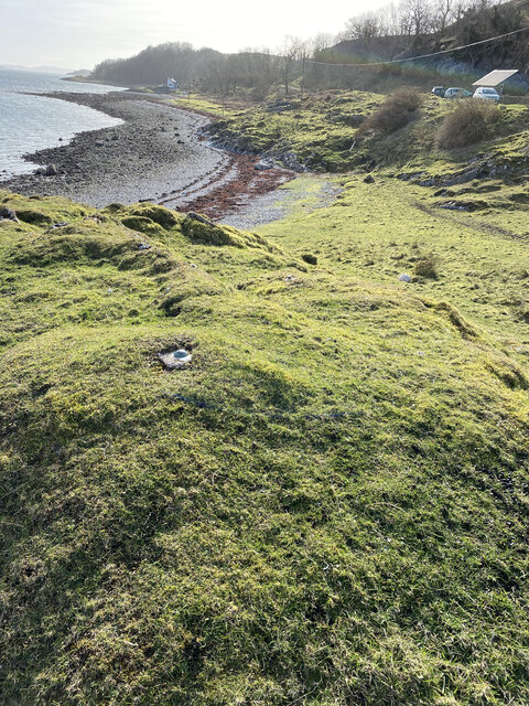
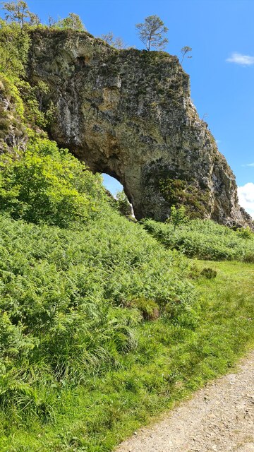
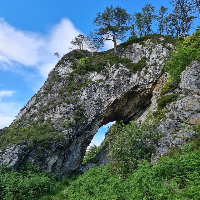
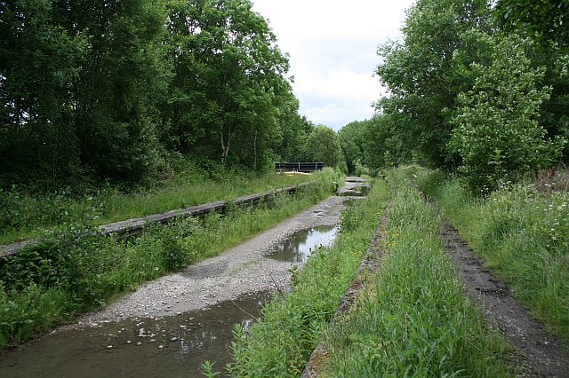
Eilean nan Chaorainn Images
Images are sourced within 2km of 56.563252/-5.4195946 or Grid Reference NM8946. Thanks to Geograph Open Source API. All images are credited.


Eilean nan Chaorainn is located at Grid Ref: NM8946 (Lat: 56.563252, Lng: -5.4195946)
Unitary Authority: Argyll and Bute
Police Authority: Argyll and West Dunbartonshire
What 3 Words
///consoles.zips.solutions. Near Oban, Argyll & Bute
Nearby Locations
Related Wikis

Airds Bay
Airds Bay is a small bay south-west of Port Appin on the west coast of Scotland. It is located at the south-western end of Appin in Argyll and Bute, forming...

Castle Stalker
Castle Stalker (Scottish Gaelic: Caisteal an Stalcaire) is a four-storey tower house or keep in the Scottish county Argyll. It is set on a tidal islet...
Appin railway station
Appin was a railway station in Scotland, close to the Sound of Shuna on the east shore of Loch Laiche - an arm of Loch Linnhe, Portnacroish, Appin in Argyll...

Shuna Island
Shuna Island or simply Shuna is an island in Loch Linnhe, offshore from Appin, in Argyll and Bute, Scotland. The island is approximately two kilometres...

Eriska
Eriska is a flat tidal island at the entrance to Loch Creran on the west coast of Scotland. Privately owned by the Buchanan-Smiths from 1973 until August...

Appin
Appin (Scottish Gaelic: An Apainn) is a coastal district of the Scottish West Highlands bounded to the west by Loch Linnhe, to the south by Loch Creran...

Tirefour Castle
Tirefour Castle, (or Tirefour Broch, also spelled Tirfuir and Tirrefour) is an Iron Age broch located 4 kilometres north of Achnacroish on the island of...

St Moluag's Cathedral, Lismore
St Moluag's Cathedral is located on the Scottish island of Lismore just off the coast of Oban. As a congregation of the Church of Scotland, which is Presbyterian...
Nearby Amenities
Located within 500m of 56.563252,-5.4195946Have you been to Eilean nan Chaorainn?
Leave your review of Eilean nan Chaorainn below (or comments, questions and feedback).