Làrach Tigh Mhic Dhomhnuill
Island in Ross-shire
Scotland
Làrach Tigh Mhic Dhomhnuill

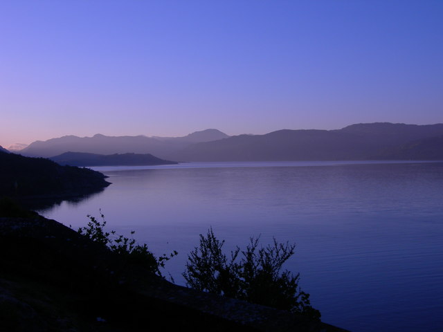
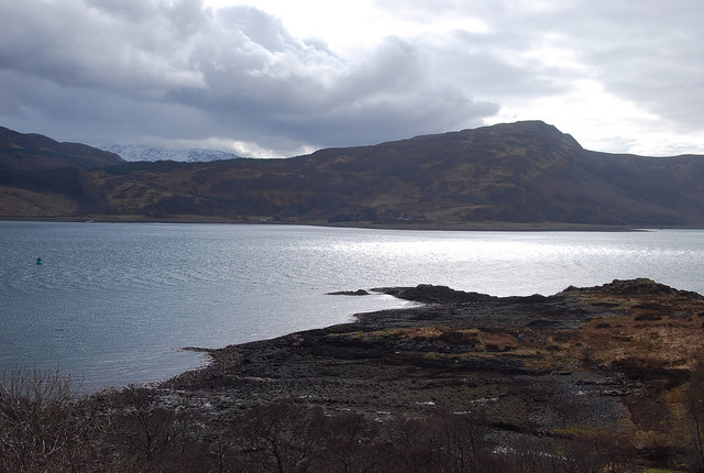
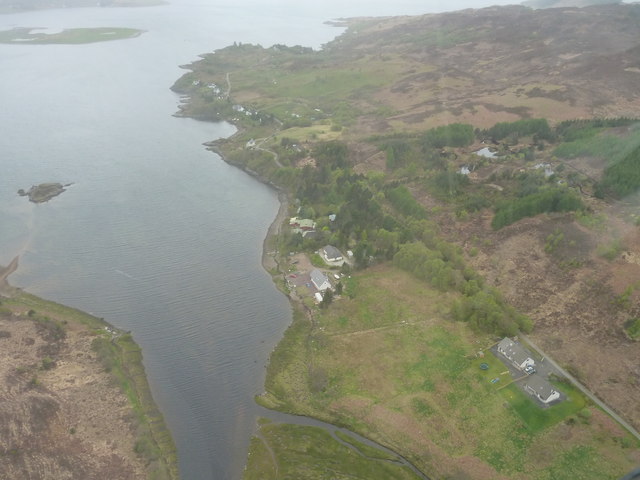
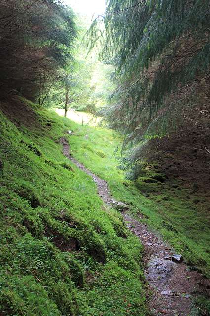
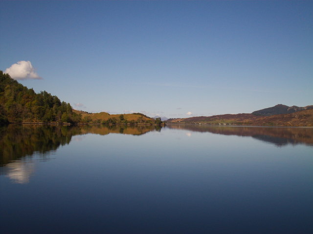
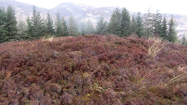
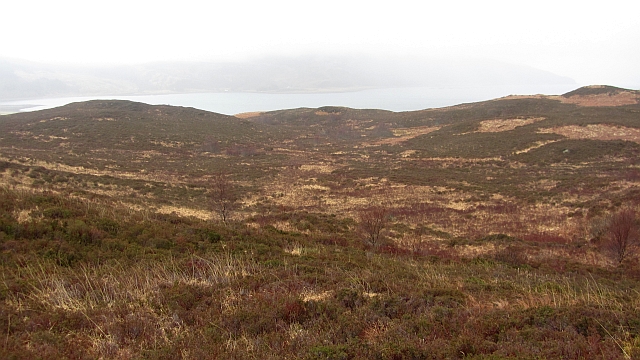
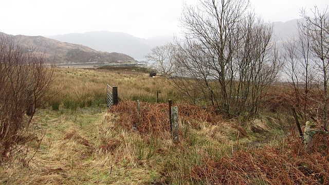
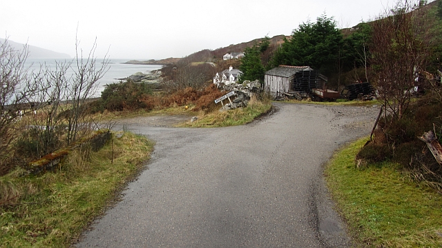
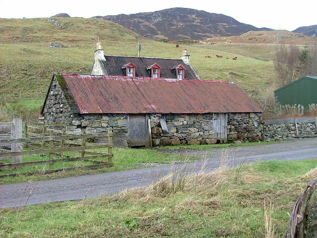
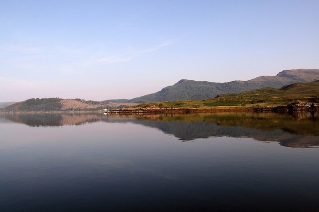
Làrach Tigh Mhic Dhomhnuill is a small island located off the coast of Ross-shire in the Scottish Highlands. The island is known for its rugged and picturesque landscape, with rocky cliffs, sandy beaches, and lush greenery. It is a popular destination for hikers, birdwatchers, and nature enthusiasts.
The island is home to a variety of wildlife, including seabirds, seals, and otters. It is also a designated nature reserve, with protected habitats for rare plant species and nesting birds. Visitors can explore the island by foot or by boat, taking in the stunning views of the surrounding sea and mountains.
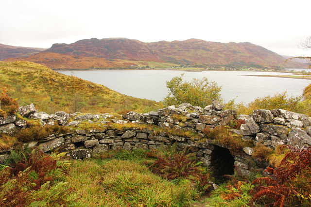
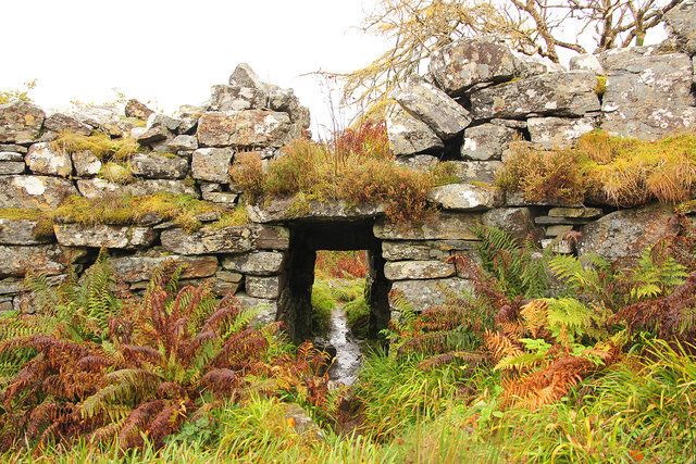
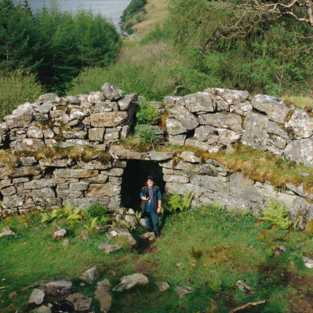
Làrach Tigh Mhic Dhomhnuill has a rich history, with evidence of ancient settlements dating back thousands of years. There are also remains of a medieval castle and a lighthouse that once guided ships safely through the treacherous waters surrounding the island.
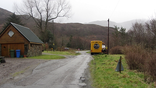
Today, the island is a peaceful retreat for those looking to escape the hustle and bustle of daily life and immerse themselves in the beauty of the Scottish wilderness. With its unspoiled natural beauty and tranquil atmosphere, Làrach Tigh Mhic Dhomhnuill is a hidden gem waiting to be discovered.
If you have any feedback on the listing, please let us know in the comments section below.
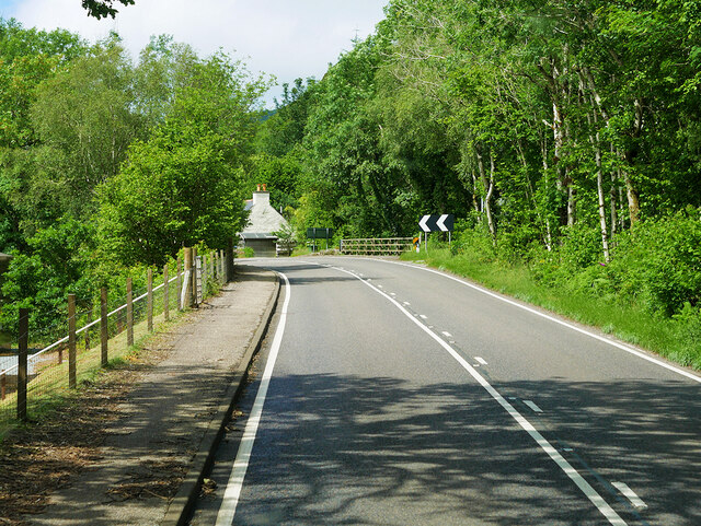
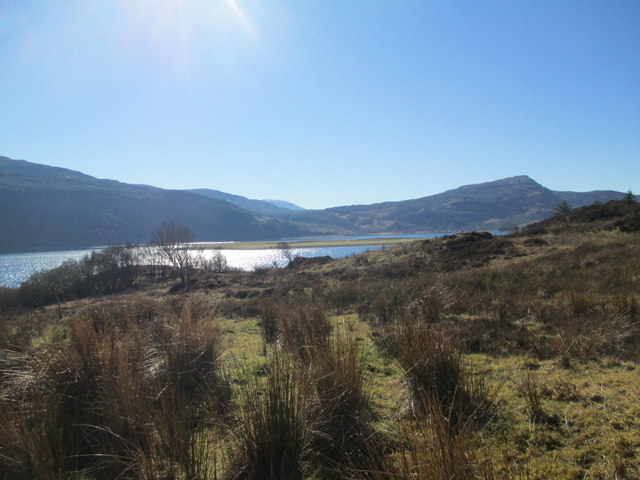
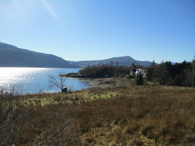
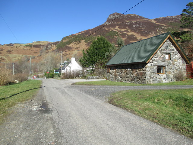
Làrach Tigh Mhic Dhomhnuill Images
Images are sourced within 2km of 57.267911/-5.5634018 or Grid Reference NG8525. Thanks to Geograph Open Source API. All images are credited.

Làrach Tigh Mhic Dhomhnuill is located at Grid Ref: NG8525 (Lat: 57.267911, Lng: -5.5634018)
Unitary Authority: Highland
Police Authority: Highlands and Islands
What 3 Words
///divisible.fees.cave. Near Glenelg, Highland
Nearby Locations
Related Wikis
Ardelve
Ardelve (Scottish Gaelic: Àird Eilbh) is a village in Highland, Scotland, on Loch Alsh. It overlooks the Eilean Donan Castle, which is in Dornie, also...
Avernish
Avernish (Scottish Gaelic: Abhairnis) is a small, scenic, rural community located in the Highlands of Scotland. Nearby attractions include The Eilean...
Caisteal Grugaig
Caisteal Grugaig (or Dun Totaig) is an Iron Age broch near the eastern end of Loch Alsh in the Scottish Highlands (grid reference NG86682508). == Location... ==

Nostie
Nostie (Scottish Gaelic: Ceann na Mòna) is a small remote hamlet, lying on Nostie Bay, an inlet at the northeastern end of the sea loch, Loch Alsh in the...
Have you been to Làrach Tigh Mhic Dhomhnuill?
Leave your review of Làrach Tigh Mhic Dhomhnuill below (or comments, questions and feedback).