Sgeir Bheathaig
Island in Argyllshire
Scotland
Sgeir Bheathaig
The requested URL returned error: 429 Too Many Requests
If you have any feedback on the listing, please let us know in the comments section below.
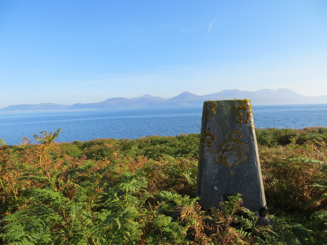
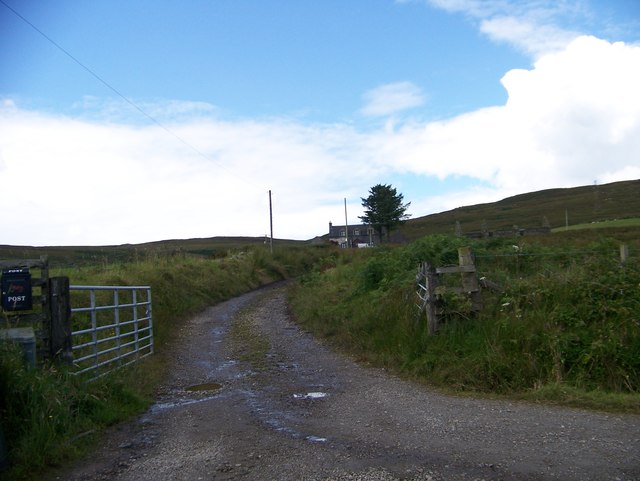
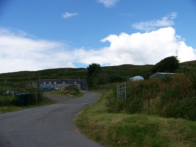
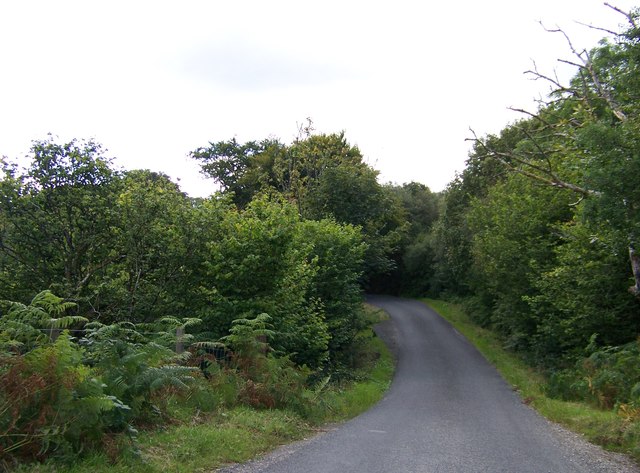
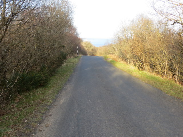
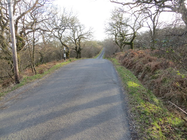
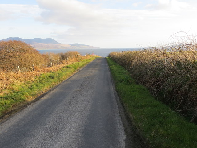
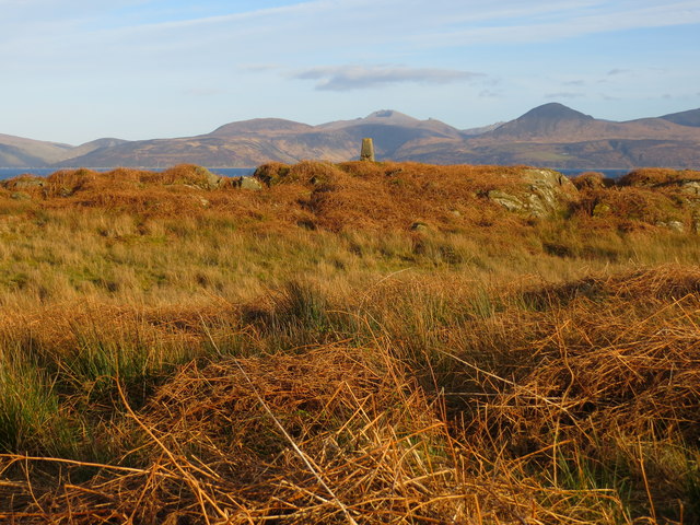
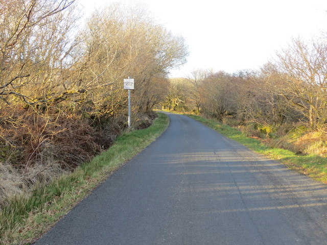
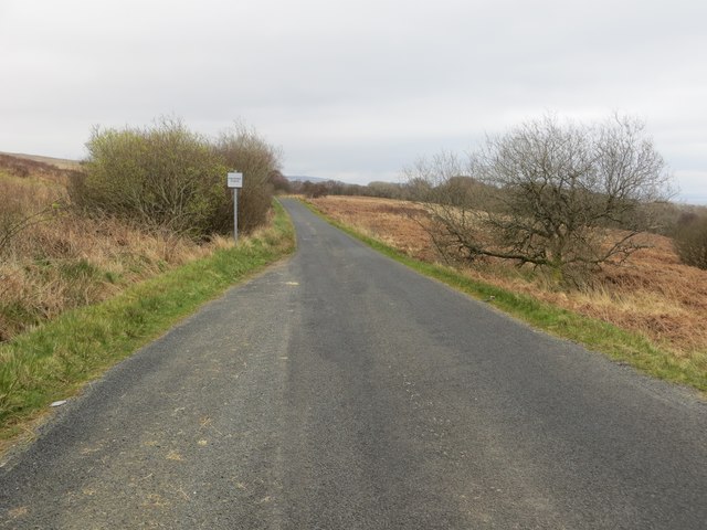
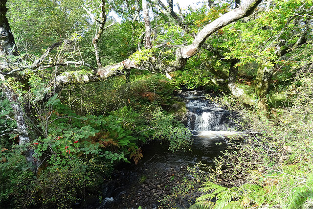
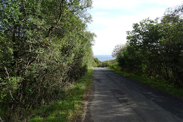
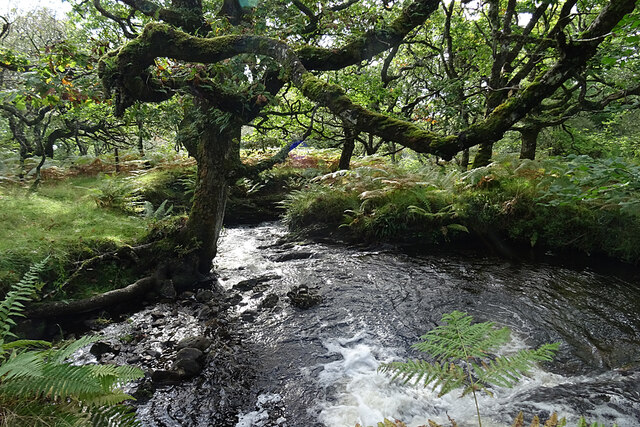
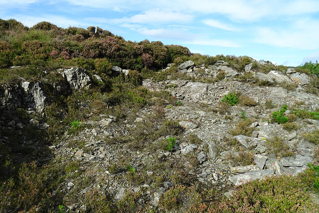
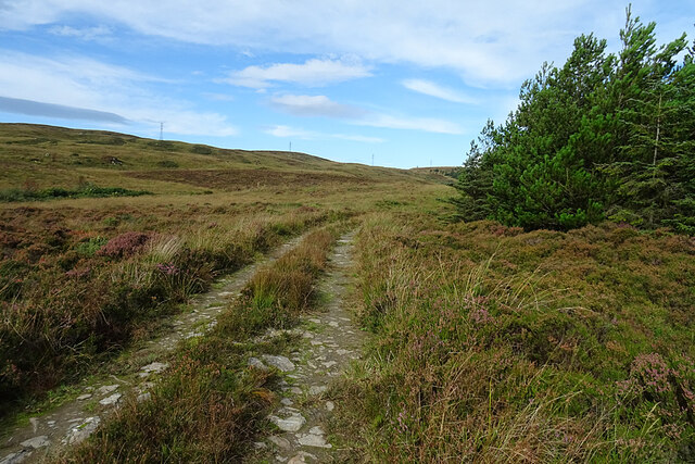
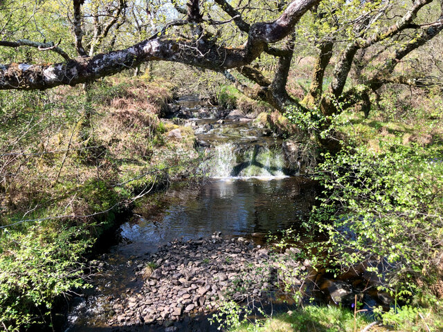
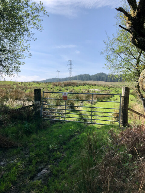
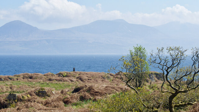
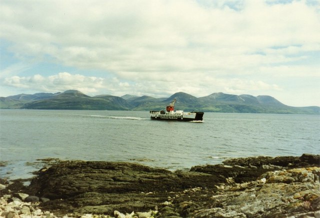
Sgeir Bheathaig Images
Images are sourced within 2km of 55.730067/-5.4236395 or Grid Reference NR8553. Thanks to Geograph Open Source API. All images are credited.
Sgeir Bheathaig is located at Grid Ref: NR8553 (Lat: 55.730067, Lng: -5.4236395)
Unitary Authority: Argyll and Bute
Police Authority: Argyll and West Dunbartonshire
What 3 Words
///calls.testy.hopefully. Near Lochranza, North Ayrshire
Nearby Locations
Related Wikis
Claonaig
Claonaig (Scottish Gaelic: Claonaig, pronounced [ˈkʰl̪ˠɯːnɛkʲ]) is a hamlet on the east coast of the Kintyre peninsula in western Scotland, linked to Lochranza...

HMS Vandal
HMS Vandal (P64) was a Royal Navy U-class submarine built by Vickers-Armstrong at Barrow-in-Furness, yard number 838. The submarine had the shortest career...

Skipness
Skipness (Scottish Gaelic: Sgibinis, pronounced [ˈs̪kʲipɪnɪʃ]) is a village on the east coast of Kintyre in Scotland, located just over 7 miles (11 km...

St Brendan's Chapel, Skipness
St Brendan's Chapel, also known as Kilbrannan Chapel, and Skipness Chapel, is a medieval chapel near Skipness, Argyll and Bute, Scotland. The chapel appears...
Nearby Amenities
Located within 500m of 55.730067,-5.4236395Have you been to Sgeir Bheathaig?
Leave your review of Sgeir Bheathaig below (or comments, questions and feedback).