Eilean a' Mhuineil

Island in Inverness-shire

Scotland

Eilean a' Mhuineil

Inbhir Dhorrcail The famous north corrie of Ladhar Bheinn lies off the top of the photo. This coastal area is wild and remote as is Knoydart!
Inbhir Dhorrcail Credit: Glen Breaden

The requested URL returned error: 429 Too Many Requests

If you have any feedback on the listing, please let us know in the comments section below.

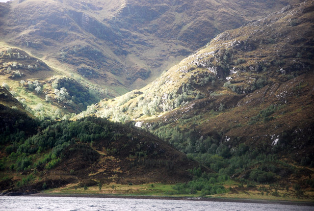
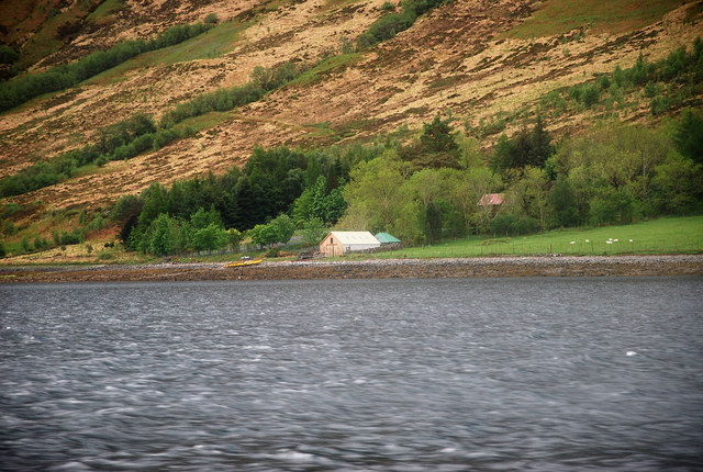
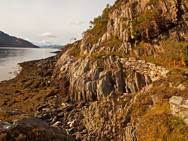
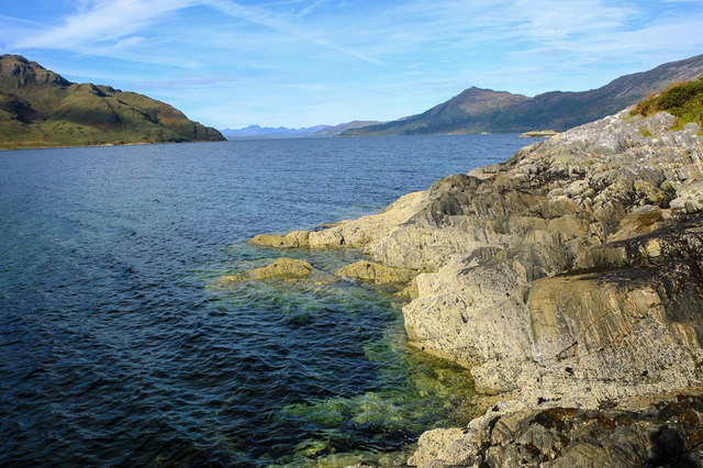
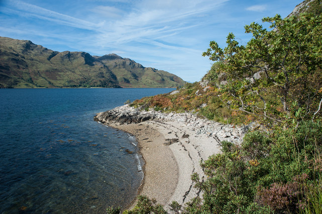
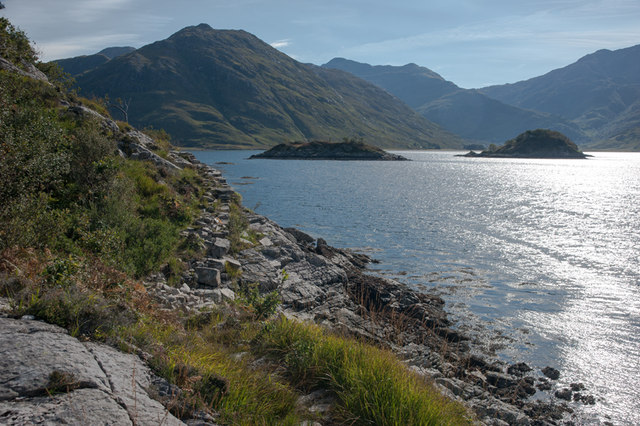
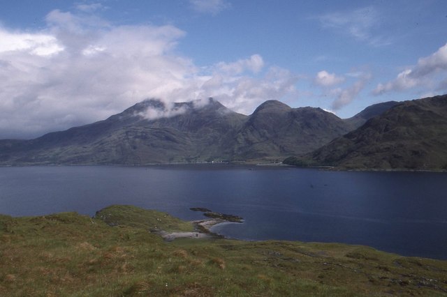
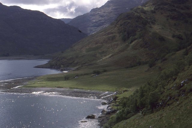
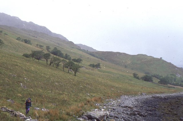
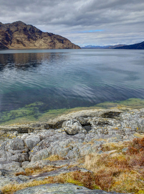
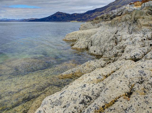
Eilean a' Mhuineil Images

Images are sourced within 2km of 57.099859/-5.5611821 or Grid Reference NG8406. Thanks to Geograph Open Source API. All images are credited.

Inbhir Dhorrcail The famous north corrie of Ladhar Bheinn lies off the top of the photo. This coastal area is wild and remote as is Knoydart!
Inbhir Dhorrcail
The famous north corrie of Ladhar Bheinn lies off the top of the photo. This coastal area is wild and remote as is Knoydart!
Camas Domhain A lovely Knoydart bay with a remote settlement by the name of Li.
Camas Domhain
A lovely Knoydart bay with a remote settlement by the name of Li.
Sgeir Liathan
Sgeir Liathan
Herring Route to Corran Path constructed in 1900 century by locals to facilitate the transportation on foot of herring catches to the
village of Corran
Herring Route to Corran
Path constructed in 1900 century by locals to facilitate the transportation on foot of herring catches to the village of Corran
Clouds lifting from Ladhar Bheinn A supplemental zoom shot from Corran of the clouds lifting from the mountainside and the sun starting to break through.
Clouds lifting from Ladhar Bheinn
A supplemental zoom shot from Corran of the clouds lifting from the mountainside and the sun starting to break through.
Rubha Camas na Cailinn Only at low tide as shown here by the barnacle encrusted rocks does the very tip of Rubha Camas na Cailinn become the only land in this square
Rubha Camas na Cailinn
Only at low tide as shown here by the barnacle encrusted rocks does the very tip of Rubha Camas na Cailinn become the only land in this square
Small pebble beach Loch Hourn
Camas na Cailinn Looking north to Beinn Sgritheall
Camas na Cailinn
Looking north to Beinn Sgritheall
Coastal path from Corran Approaching the islands in Loch Hourn at A'Chiste Dhubh with Barrisdale in the distance.
Coastal path from Corran
Approaching the islands in Loch Hourn at A'Chiste Dhubh with Barrisdale in the distance.
Eilean a'Mhuineil Some rocks connected to mainland Knoydart by tombolos.  There is a fine view across Loch Hourn towards Beinn Sgritheall.
Eilean a'Mhuineil
Some rocks connected to mainland Knoydart by tombolos. There is a fine view across Loch Hourn towards Beinn Sgritheall.
Inbhir Dhorrcail An alluvial fan beneath the great northern corrie of Ladhar Bheinn.
Inbhir Dhorrcail
An alluvial fan beneath the great northern corrie of Ladhar Bheinn.
Shoreline, Camas Domhain Rough going on the shores of Loch Hourn.  The line of trees in the background is a shelterbelt around Li.
Shoreline, Camas Domhain
Rough going on the shores of Loch Hourn. The line of trees in the background is a shelterbelt around Li.
Foot of Coire Odhair Beneath Ladhar Bheinn almost at sea level.  Taken shortly before a winter conditions ascent of Ladhar Bheinn which also confirmed that there is magnetic variation on the hill.  Quite hairy in places as being June, I had no axe.
Foot of Coire Odhair
Beneath Ladhar Bheinn almost at sea level. Taken shortly before a winter conditions ascent of Ladhar Bheinn which also confirmed that there is magnetic variation on the hill. Quite hairy in places as being June, I had no axe.
Rubha Camas na Cailinn Looking across Loch Hourn to Rubha Ruadha.
Rubha Camas na Cailinn
Looking across Loch Hourn to Rubha Ruadha.
South side of Rubha Camas na Cailinn Unsurprisingly similar photo to the only other in this square. <a href="https://www.geograph.org.uk/photo/3688595">NG8407 : Rubha Camas na Cailinn</a>
This is the only land in it.
South side of Rubha Camas na Cailinn
Unsurprisingly similar photo to the only other in this square. NG8407 : Rubha Camas na Cailinn This is the only land in it.
Shore of Loch Hourn south of Rubha Camas na Cailinn Looking up Loch Hourn towards Barrisdale.
Shore of Loch Hourn south of Rubha Camas na Cailinn
Looking up Loch Hourn towards Barrisdale.
Loch Hourn from the Ladhar Bheinn shore Taken from the lochside at Poll a' Mhuineil, having been dropped off by sailing friends, giving me a chance to traverse Ladhar Bheinn and Luinne Bheinn before a rendezvous at Inverie on the other side of the Knoydart peninsula. Beinn Sgritheall is across the loch.
Loch Hourn from the Ladhar Bheinn shore
Taken from the lochside at Poll a' Mhuineil, having been dropped off by sailing friends, giving me a chance to traverse Ladhar Bheinn and Luinne Bheinn before a rendezvous at Inverie on the other side of the Knoydart peninsula. Beinn Sgritheall is across the loch.
North shore of Loch Hourn Camas Chonalain Beag on the north shore of Loch Hourn, looking towards Barrisdale
North shore of Loch Hourn
Camas Chonalain Beag on the north shore of Loch Hourn, looking towards Barrisdale
Show me another place!

Eilean a' Mhuineil is located at Grid Ref: NG8406 (Lat: 57.099859, Lng: -5.5611821)

Unitary Authority: Highland

Police Authority: Highlands and Islands

What 3 Words

///snapped.options.permit. Near Glenelg, Highland

Related Wikis

Corran, Loch Hourn

Corran (Scottish Gaelic: An Corran) is a hamlet on the northern shore of Loch Hourn, in Lochalsh in Inverness-shire in the Highlands of Scotland. It is...

Ladhar Bheinn

Ladhar Bheinn is the highest mountain in the Knoydart region of the Highlands of Scotland. It is the most westerly Munro on the Scottish mainland. The...

Arnisdale

Arnisdale (Scottish Gaelic: Àrnasdal) is a hamlet in the historic county of Inverness-shire in the local authority area of Highlands of Scotland. It lies...

Loch Hourn

Loch Hourn (Scottish Gaelic: Loch Shubhairne) is a sea loch which separates the peninsulas of Glenelg to the north and Knoydart to the south, on the west...

Nearby Amenities

Located within 500m of 57.099859,-5.5611821
Source: PGS
Lat/Long: 57.0966741/-5.5569047
Source: PGS
Lat/Long: 57.0969328/-5.5572985
Source: PGS
Lat/Long: 57.0973295/-5.5580755
Source: PGS
Lat/Long: 57.0978213/-5.5580685
Source: PGS
Lat/Long: 57.098219/-5.5584709
Source: PGS
Lat/Long: 57.0985833/-5.5592687
Source: PGS
Lat/Long: 57.1002159/-5.5597315
Source: PGS
Lat/Long: 57.1006491/-5.5600341
Source: PGS
Lat/Long: 57.1006419/-5.5604363
Source: PGS
Lat/Long: 57.1004292/-5.5602712
Source: PGS
Lat/Long: 57.0998748/-5.5605414
Source: PGS
Lat/Long: 57.1006719/-5.5613673
Source: PGS
Lat/Long: 57.1009307/-5.5618608
Created By: almien_coastlines
Source: PGS
Lat/Long: 57.101277/-5.56225
Source: PGS
Lat/Long: 57.1014896/-5.5627084
Source: PGS
Lat/Long: 57.1014047/-5.5631704
Source: PGS
Lat/Long: 57.100743/-5.5630844
Source: PGS
Lat/Long: 57.100047/-5.5628602
Source: PGS
Lat/Long: 57.0993676/-5.5617237
Source: PGS
Lat/Long: 57.0993022/-5.5611937
Source: PGS
Lat/Long: 57.0987328/-5.5605968
Source: PGS
Lat/Long: 57.0982057/-5.5607049
Source: PGS
Lat/Long: 57.0977589/-5.5610311
Source: PGS
Lat/Long: 57.0975143/-5.5614167
Source: PGS
Lat/Long: 57.0967387/-5.5630381
Source: PGS
Lat/Long: 57.0967448/-5.5633328
Source: PGS
Lat/Long: 57.0961063/-5.5633468
The data included in this document is from www.openstreetmap.org. The data is made available under ODbL.

Have you been to Eilean a' Mhuineil?

Leave your review of Eilean a' Mhuineil below (or comments, questions and feedback).