Aird a' Mhorair
Island in Ross-shire
Scotland
Aird a' Mhorair
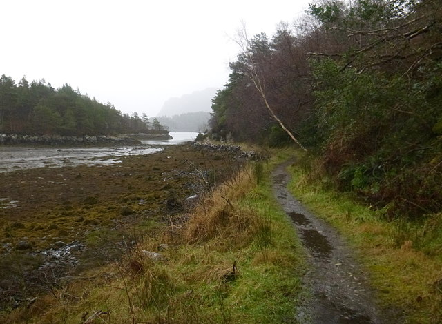
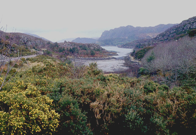
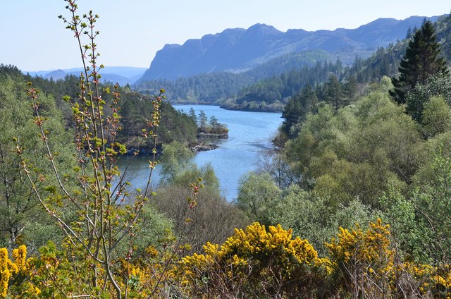
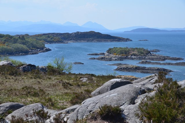
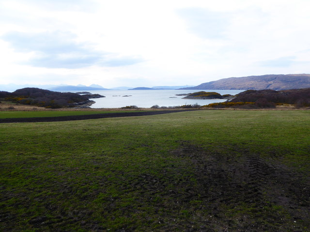
Aird a' Mhorair, located in Ross-shire, Scotland, is a small island situated off the west coast. With a land area of approximately 1 square kilometer, the island is characterized by its rugged and rocky terrain, which offers stunning views of the surrounding seascape.
The island is home to a diverse range of flora and fauna, including various species of seabirds, such as puffins and gannets, which nest on the cliffs and provide a vibrant display of wildlife. The surrounding waters are also teeming with marine life, making it a popular spot for fishing enthusiasts.
Aird a' Mhorair has a rich history, with archaeological evidence suggesting human presence as far back as the Neolithic period. The island was once a thriving community, with evidence of ancient settlements and burial mounds. Today, the island is uninhabited, but remnants of its past can still be seen in the form of ruined buildings and stone structures.
Access to Aird a' Mhorair is limited, with no regular ferry services available. However, the island can be reached by private boat or kayak, providing a unique and secluded experience for visitors seeking tranquility and natural beauty.
Overall, Aird a' Mhorair is a remote and picturesque island in Ross-shire, offering a glimpse into Scotland's rich history and providing an opportunity for nature lovers to explore its rugged landscapes and abundant wildlife.
If you have any feedback on the listing, please let us know in the comments section below.
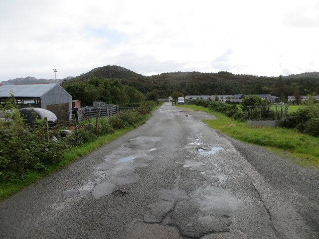
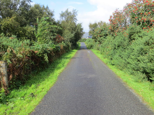
Aird a' Mhorair Images
Images are sourced within 2km of 57.339651/-5.6480505 or Grid Reference NG8033. Thanks to Geograph Open Source API. All images are credited.


Aird a' Mhorair is located at Grid Ref: NG8033 (Lat: 57.339651, Lng: -5.6480505)
Unitary Authority: Highland
Police Authority: Highlands and Islands
What 3 Words
///torn.trinkets.entitles. Near Kyleakin, Highland
Nearby Locations
Related Wikis

Plockton
Plockton (Scottish Gaelic: Am Ploc/Ploc Loch Aillse) is a village in the Lochalsh, Wester Ross area of the Scottish Highlands with a 2020 population of...

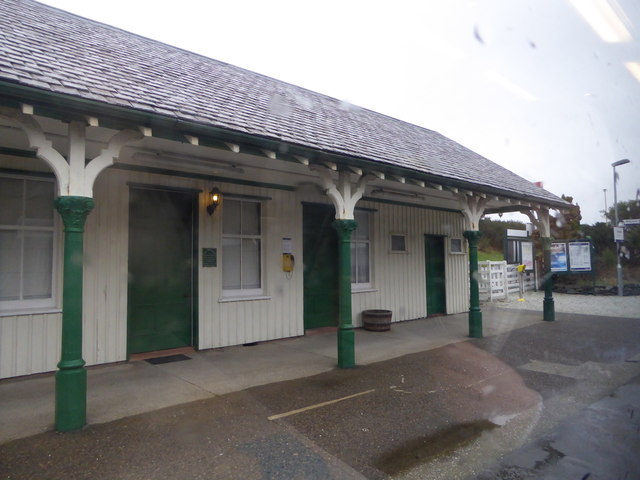
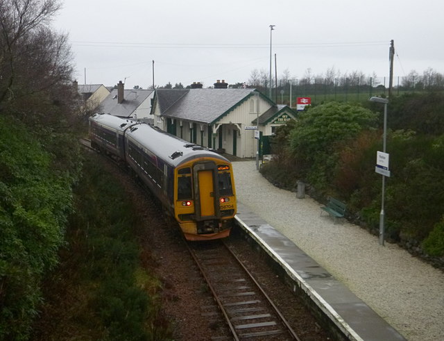
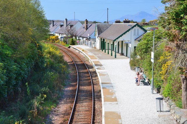
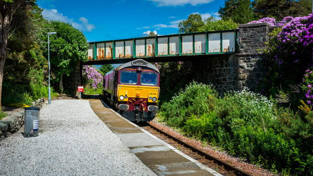
Duncraig railway station
Duncraig railway station is a remote railway station by the shore of Loch Carron on the Kyle of Lochalsh Line, originally (privately) serving Duncraig...

Duncraig Castle
Duncraig Castle is a mansion in Lochalsh, in the west of the Scottish Highlands. A category-C listed building, it is situated in the Highland council area...

Plockton High School
Plockton High School is a 221-pupil high school in the village of Plockton, Scotland. The catchment area for the school stretches from Applecross in the...
Nearby Amenities
Located within 500m of 57.339651,-5.6480505Have you been to Aird a' Mhorair?
Leave your review of Aird a' Mhorair below (or comments, questions and feedback).