An t-Òb
Sea, Estuary, Creek in Ross-shire
Scotland
An t-Òb
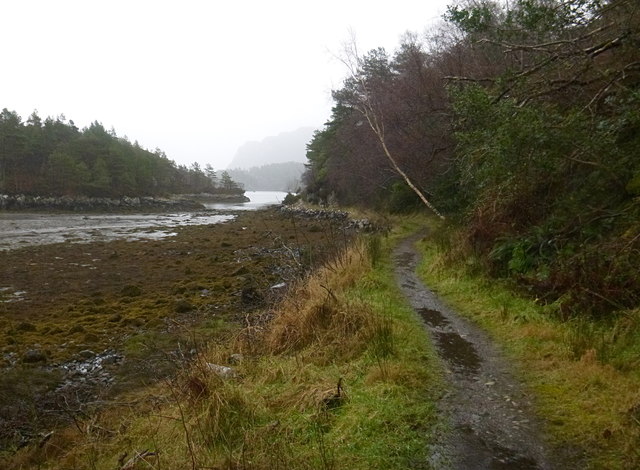
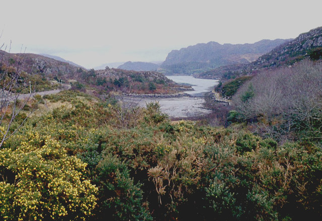
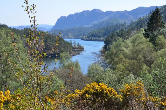
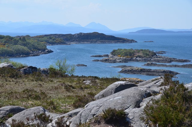
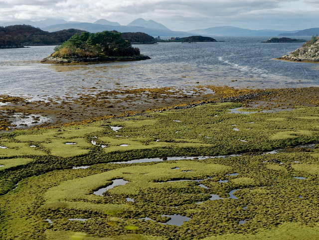
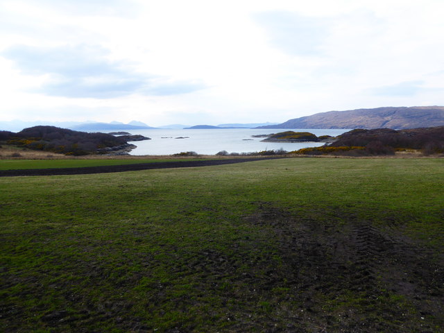
An t-Òb, located in the region of Ross-shire, Scotland, is a picturesque and vibrant coastal area that encompasses a diverse range of landscapes, including sea, estuary, and creek. Nestled between rolling hills and the vast expanse of the North Sea, An t-Òb offers breathtaking views and an abundance of natural beauty.
The sea in An t-Òb is known for its intense blue hues and the rhythmic sound of crashing waves against the rocky shores. It attracts visitors who enjoy various water activities such as swimming, sailing, and fishing. The coastal area is also home to a diverse range of marine life, making it an ideal spot for wildlife enthusiasts and bird watchers.
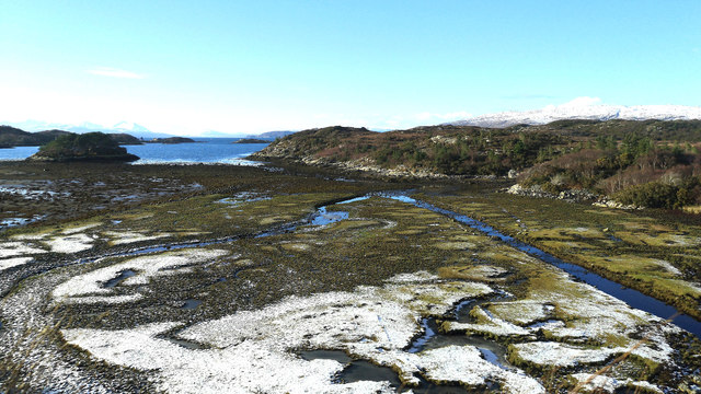
The estuary in An t-Òb is a haven for numerous species of birds and plants. It serves as an important breeding ground for various migratory birds, including herons, waders, and geese. Visitors can explore the estuary by foot or by boat, immersing themselves in the tranquil surroundings and observing the rich biodiversity.
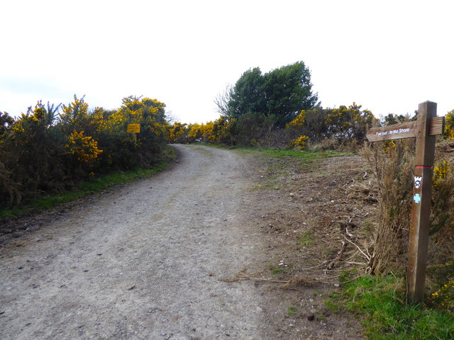
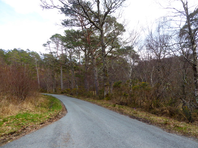
A meandering creek complements the natural beauty of An t-Òb. It winds its way through the landscape, creating a serene atmosphere that is perfect for leisurely walks and picnics. The creek is also a popular spot for locals and tourists to indulge in water-based activities like kayaking and paddleboarding.
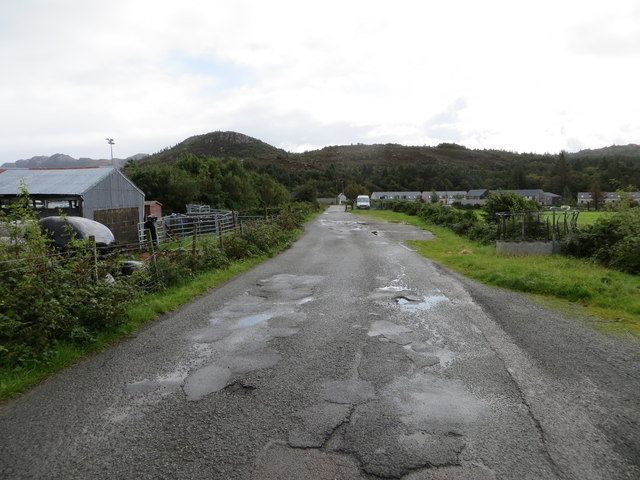
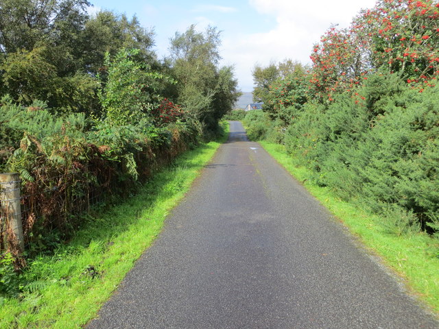
In addition to its natural wonders, An t-Òb boasts a close-knit community that takes pride in its rich cultural heritage. Visitors can explore the quaint villages dotted along the coast, which offer charming shops, traditional pubs, and locally-owned businesses.
An t-Òb, with its stunning sea, estuary, and creek, provides a unique and enriching experience for anyone seeking to immerse themselves in the beauty of Scotland's coastal landscapes.
If you have any feedback on the listing, please let us know in the comments section below.
An t-Òb Images
Images are sourced within 2km of 57.335115/-5.6553142 or Grid Reference NG8033. Thanks to Geograph Open Source API. All images are credited.


An t-Òb is located at Grid Ref: NG8033 (Lat: 57.335115, Lng: -5.6553142)
Unitary Authority: Highland
Police Authority: Highlands and Islands
What 3 Words
///cactus.boarded.contoured. Near Kyleakin, Highland
Nearby Locations
Related Wikis

Plockton
Plockton (Scottish Gaelic: Am Ploc/Ploc Loch Aillse) is a village in the Lochalsh, Wester Ross area of the Scottish Highlands with a 2020 population of...

Plockton High School
Plockton High School is a 221-pupil high school in the village of Plockton, Scotland. The catchment area for the school stretches from Applecross in the...

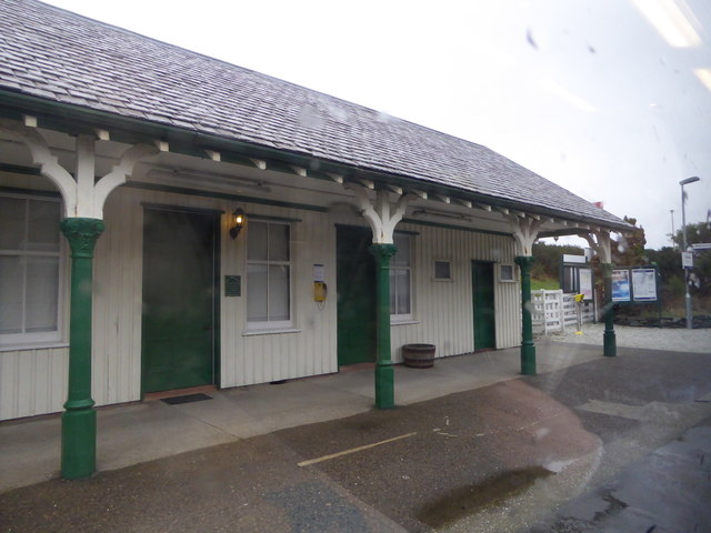
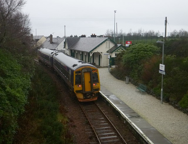
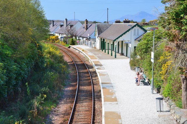
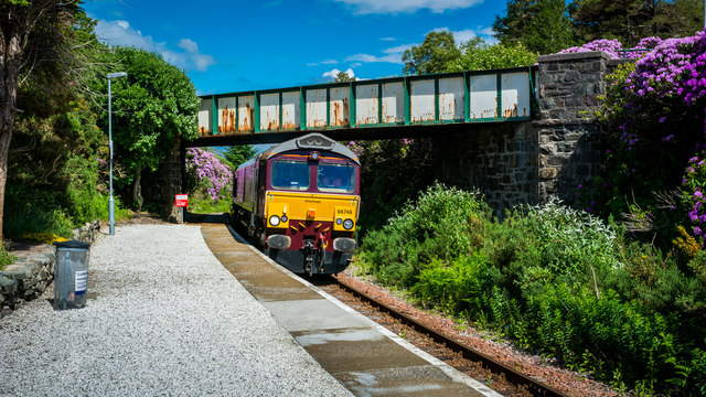
Plockton railway station
Plockton railway station is a railway station on the Kyle of Lochalsh Line, serving the village of Plockton in the Highlands, north-west Scotland. The...

Duncraig railway station
Duncraig railway station is a remote railway station by the shore of Loch Carron on the Kyle of Lochalsh Line, originally (privately) serving Duncraig...
Nearby Amenities
Located within 500m of 57.335115,-5.6553142Have you been to An t-Òb?
Leave your review of An t-Òb below (or comments, questions and feedback).