Sgeir Dhubh Mhòr

Island in Ross-shire

Scotland

Sgeir Dhubh Mhòr

Trigpoint, Meall na h-Airde Looking north-east towards Gairloch
Trigpoint, Meall na h-Airde Credit: Becky Williamson

The requested URL returned error: 429 Too Many Requests

If you have any feedback on the listing, please let us know in the comments section below.

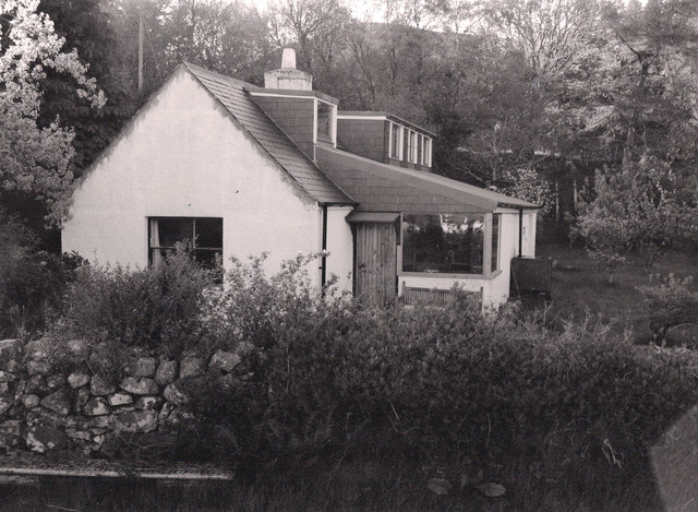
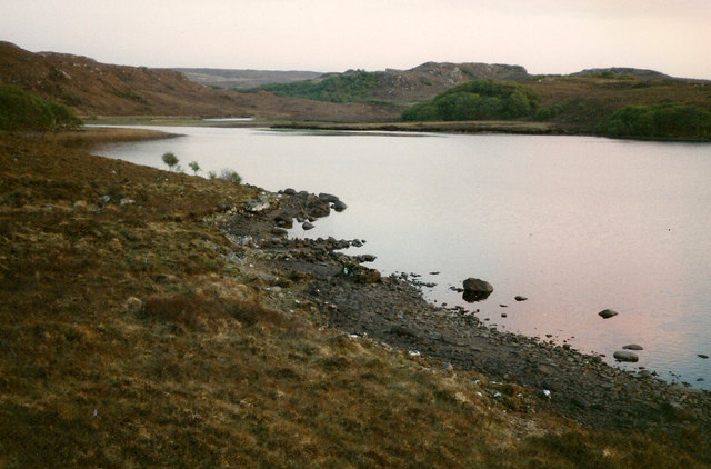
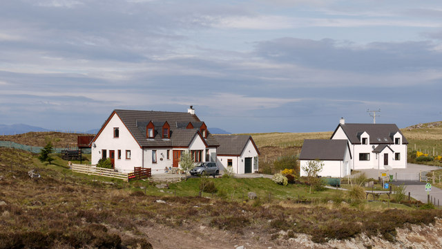
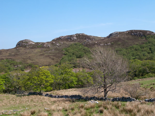
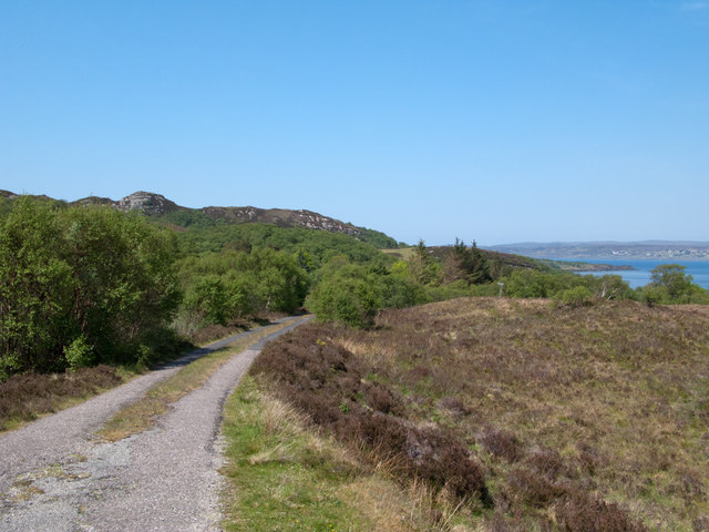
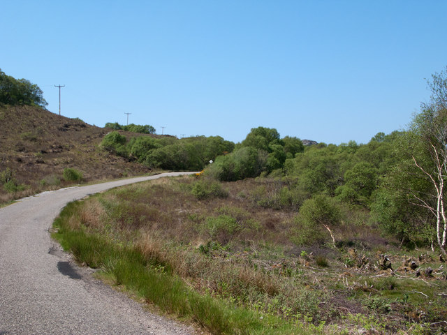
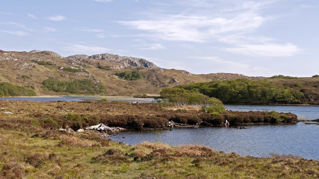
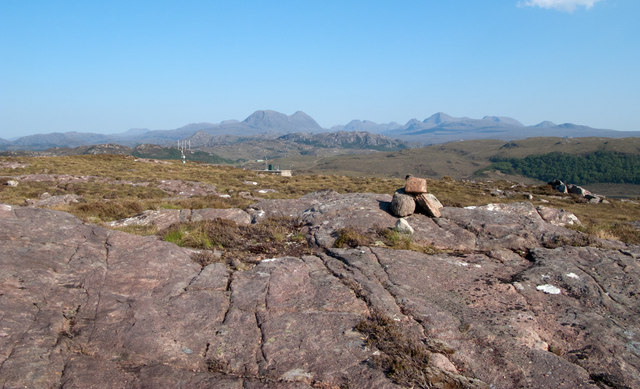
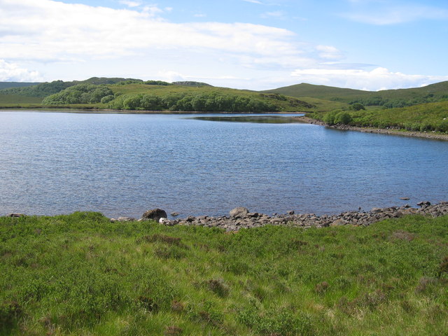
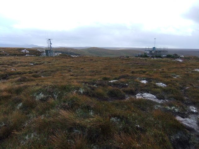
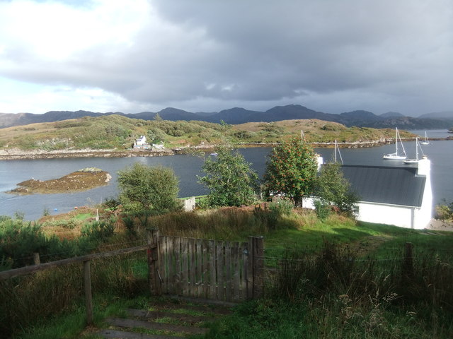
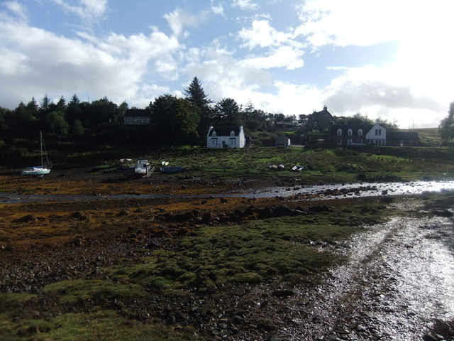
Sgeir Dhubh Mhòr Images

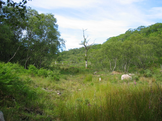
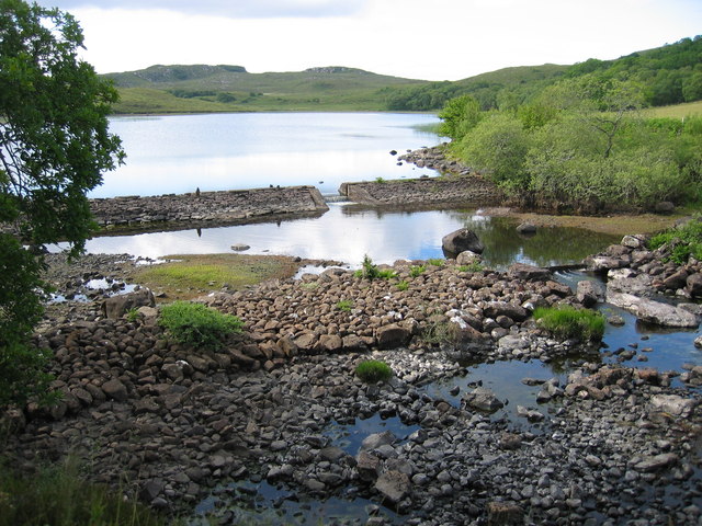
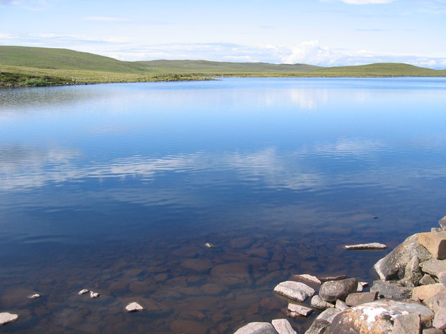
Images are sourced within 2km of 57.701492/-5.7121635 or Grid Reference NG7874. Thanks to Geograph Open Source API. All images are credited.

Trigpoint, Meall na h-Airde Looking north-east towards Gairloch
Trigpoint, Meall na h-Airde
Looking north-east towards Gairloch
Aird Cottage
Aird Cottage
Loch Bad a' Chrotha
Loch Bad a' Chrotha
New housing at Badachro Badachro is a small village on the south side of Loch Gairloch. The detached houses seen in this image are part of the Coille Dhorch development on what was until recently, moorland.
New housing at Badachro
Badachro is a small village on the south side of Loch Gairloch. The detached houses seen in this image are part of the Coille Dhorch development on what was until recently, moorland.
An Torr An Torr is a minor hill rising to just 96m, lying east of the village of Badachro.
An Torr
An Torr is a minor hill rising to just 96m, lying east of the village of Badachro.
Road descending to Camas na h-Airigh The road leaves the B8056 near to Badachro giving access to the few homes above the bay. Loch Gairloch lies in the distance.
Road descending to Camas na h-Airigh
The road leaves the B8056 near to Badachro giving access to the few homes above the bay. Loch Gairloch lies in the distance.
B8056 above Leacnasaide Leacnasaide is a small community above Loch Shieldaig; the B8056 is seen here passing above it on its way to Red Point.
B8056 above Leacnasaide
Leacnasaide is a small community above Loch Shieldaig; the B8056 is seen here passing above it on its way to Red Point.
Loch Bad a' Chròtha Loch Bad a' Chròtha as seen from close to the B8032. A promontory bearing a few trees juts into the water; seen at its base are the remains of ancient trees preserved in peat bog and now exposed again.
Loch Bad a' Chròtha
Loch Bad a' Chròtha as seen from close to the B8032. A promontory bearing a few trees juts into the water; seen at its base are the remains of ancient trees preserved in peat bog and now exposed again.
Sandstone slab with cairn on Meall na h-Airde Meall na h-Airde is a low hill on the south side of Loch Gairloch. Baosbheinn is the distant, prominent mountain at the left side of the image; the Torridon mountains lie to the right of it.
Sandstone slab with cairn on Meall na h-Airde
Meall na h-Airde is a low hill on the south side of Loch Gairloch. Baosbheinn is the distant, prominent mountain at the left side of the image; the Torridon mountains lie to the right of it.
Eilean Horrisdale Eilean Horrisdale as seen from Aird, to the west.
Eilean Horrisdale
Eilean Horrisdale as seen from Aird, to the west.
Woodland above Leacnasaide
Scrubland near Leacnasaide
Weir at Loch Bad a' Chrotha
Loch Bad na h-Achlaise
Loch Bad a' Chrotha
Loch Bad a' Chrotha
Mast and reservoir on Meall na h-Airde
Eilean Horrisdale
Eilean Horrisdale
Badachro
Badachro
Show me another place!

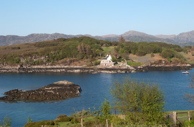
Sgeir Dhubh Mhòr is located at Grid Ref: NG7874 (Lat: 57.701492, Lng: -5.7121635)

Unitary Authority: Highland

Police Authority: Highlands and Islands

What 3 Words

///rafters.stared.motorist. Near Gairloch, Highland

Related Wikis

Eilean Horrisdale

Eilean Horrisdale is an uninhabited island in Loch Gairloch in Wester Ross, Scotland. == Geography == Eilean Horrisdale is the largest island in Loch Gairloch...

Broadford Beds Formation

The Broadford Beds Formation is a Sinemurian geologic formation in western Scotland. An indeterminate partial tibia of a theropod dinosaur are among the...

Badachro

Badachro (Scottish Gaelic: Bad a' Chrò) is a former fishing village, in the northwest Highlands of Scotland. == Geography == Badachro sits about 3 km south...

An Ard

An Ard (Scottish Gaelic: ) is a collection of small settlements on the A832 road, close to Charlestown, in Gairloch, Ross-shire, on the east shore of Gair...

Nearby Amenities

Located within 500m of 57.701492,-5.7121635
Created By: almien_coastlines
Source: PGS
Lat/Long: 57.70197/-5.717456
Created By: almien_coastlines
Source: PGS
Lat/Long: 57.702093/-5.717703
Source: PGS
Lat/Long: 57.7023077/-5.7190398
Created By: almien_coastlines
Source: PGS
Lat/Long: 57.702435/-5.719643
Source: PGS
Lat/Long: 57.7026875/-5.7197477
Source: PGS
Lat/Long: 57.7036067/-5.7190084
Source: PGS
Lat/Long: 57.705715/-5.7114168
Source: PGS
Lat/Long: 57.7053856/-5.7110571
Source: PGS
Lat/Long: 57.7052008/-5.7113422
Source: PGS
Lat/Long: 57.7048348/-5.7111914
Created By: almien_coastlines
Source: PGS
Lat/Long: 57.704129/-5.712355
Source: PGS
Lat/Long: 57.703412/-5.7131749
Source: PGS
Lat/Long: 57.7032282/-5.7132124
Created By: almien_coastlines
Source: PGS
Lat/Long: 57.703085/-5.713233
Source: PGS
Lat/Long: 57.7024317/-5.7134826
Source: PGS
Lat/Long: 57.7020944/-5.7135588
Created By: almien_coastlines
Source: PGS
Lat/Long: 57.701797/-5.713615
Created By: almien_coastlines
Source: PGS
Lat/Long: 57.701663/-5.713844
Source: PGS
Lat/Long: 57.7015201/-5.7151437
Source: PGS
Lat/Long: 57.701342/-5.7159114
Source: PGS
Lat/Long: 57.7014879/-5.7167146
Created By: almien_coastlines
Source: PGS
Lat/Long: 57.699137/-5.706241
Source: PGS
Lat/Long: 57.6992834/-5.7069266
Source: PGS
Lat/Long: 57.6995278/-5.7076549
Created By: almien_coastlines
Source: PGS
Lat/Long: 57.69972/-5.708915
Created By: almien_coastlines
Source: PGS
Lat/Long: 57.699699/-5.70987
Source: PGS
Lat/Long: 57.6992935/-5.7117051
Source: PGS
Lat/Long: 57.6993006/-5.7127255
Source: PGS
Lat/Long: 57.6995332/-5.7145012
Source: PGS
Lat/Long: 57.699921/-5.7149378
Source: PGS
Lat/Long: 57.7005031/-5.7167951
Source: PGS
Lat/Long: 57.7005143/-5.7171318
Source: PGS
Lat/Long: 57.7004817/-5.7174833
Created By: almien_coastlines
Source: PGS
Lat/Long: 57.700538/-5.718544
Source: PGS
Lat/Long: 57.7007857/-5.7189834
Source: PGS
Lat/Long: 57.6997441/-5.7197366
Noexit: yes
Lat/Long: 57.7038297/-5.7190702
The data included in this document is from www.openstreetmap.org. The data is made available under ODbL.

Have you been to Sgeir Dhubh Mhòr?

Leave your review of Sgeir Dhubh Mhòr below (or comments, questions and feedback).