Leac Bhuidhe
Coastal Feature, Headland, Point in Ross-shire
Scotland
Leac Bhuidhe

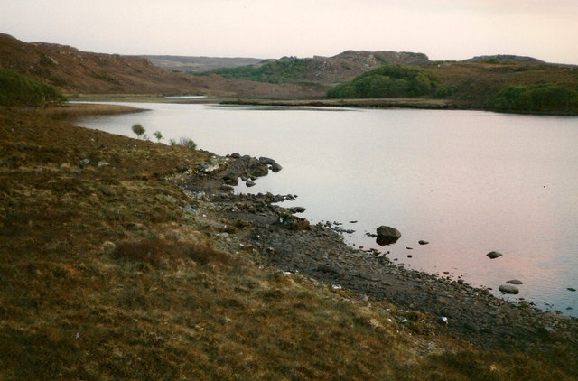
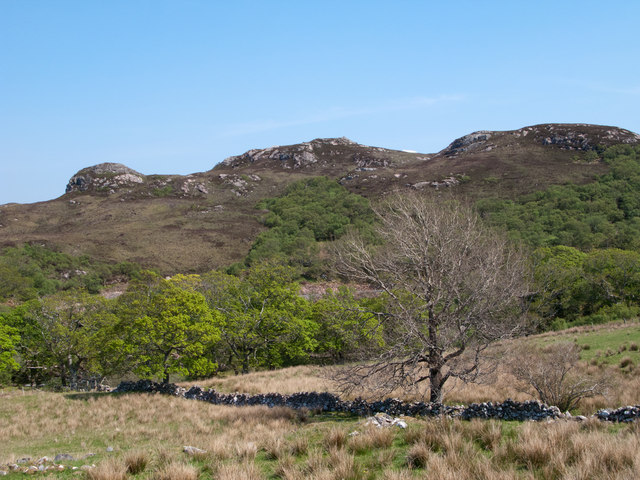
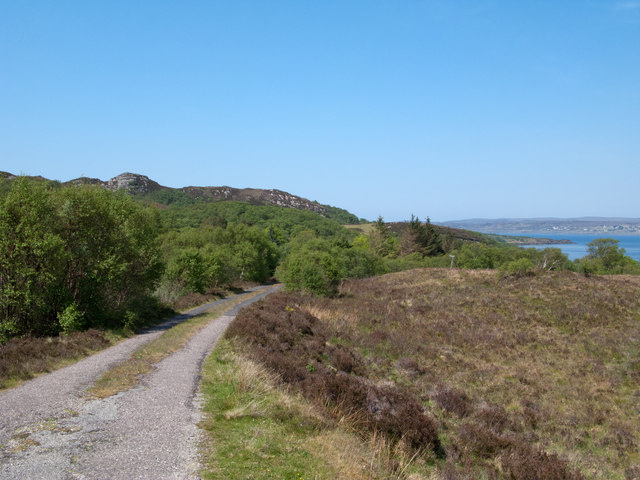
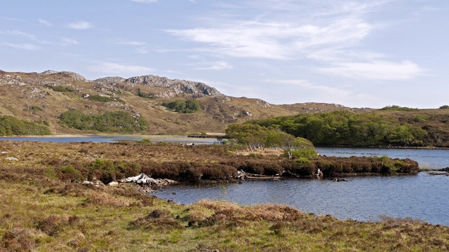
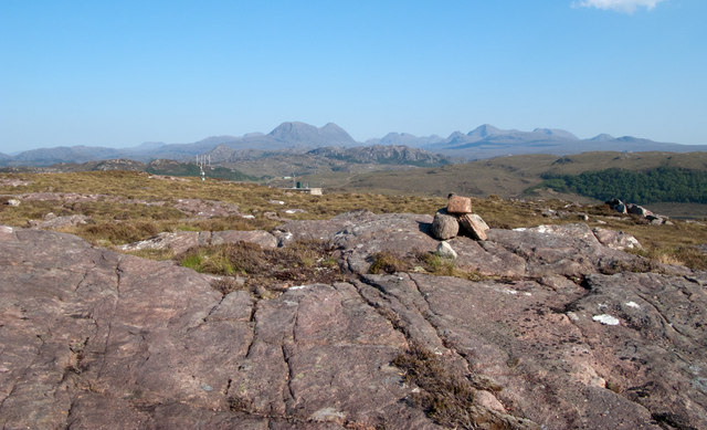
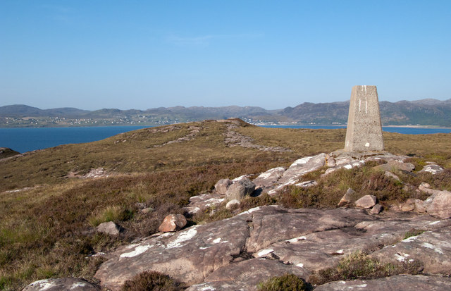
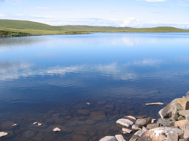
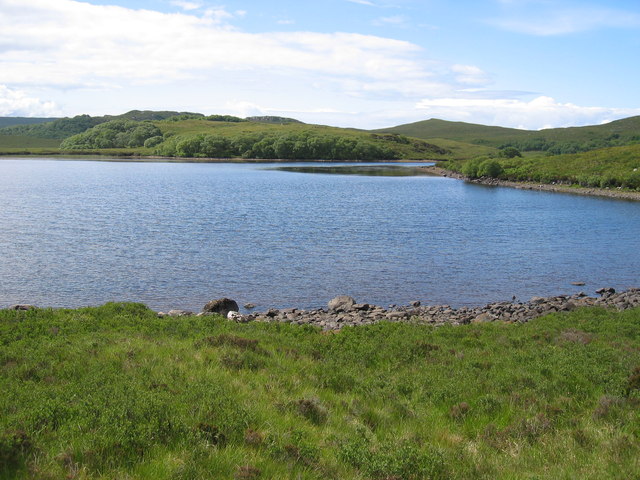
Leac Bhuidhe is a prominent coastal feature located in Ross-shire, Scotland. Situated on the western coast of the Scottish Highlands, this headland stretches out into the North Atlantic Ocean, offering breathtaking views and a diverse range of natural beauty.
The name "Leac Bhuidhe" translates to "yellow flagstone" in Gaelic, which aptly describes the distinctive rock formations found on this headland. The cliffs that form part of Leac Bhuidhe are composed of striking yellow sandstone, adding to the charm and allure of the area.
The headland is known for its rugged and dramatic landscape, with steep cliffs rising up from the crashing waves below. The constant erosion by the sea has carved out caves and arches along the coastline, creating a fascinating geological spectacle.
Leac Bhuidhe is also home to a rich variety of flora and fauna. The headland is covered in heather and gorse, providing a vibrant burst of color during the summer months. Seabirds, such as puffins, guillemots, and gannets, can be spotted nesting on the cliffs, while seals and dolphins can often be seen swimming in the nearby waters.
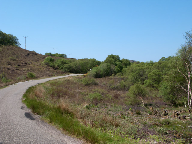
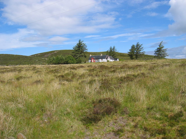
The area surrounding Leac Bhuidhe is popular among hikers and nature enthusiasts, with several walking trails offering stunning panoramic views of the coastline and the surrounding countryside. Visitors can also explore the nearby sandy beaches or try their hand at fishing in the abundant waters.
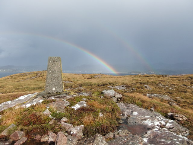
Leac Bhuidhe is a captivating coastal feature that showcases the raw beauty of the Scottish Highlands. Its unique geology, diverse wildlife, and breathtaking views make it a must-visit destination for nature lovers and those seeking a tranquil escape.
If you have any feedback on the listing, please let us know in the comments section below.
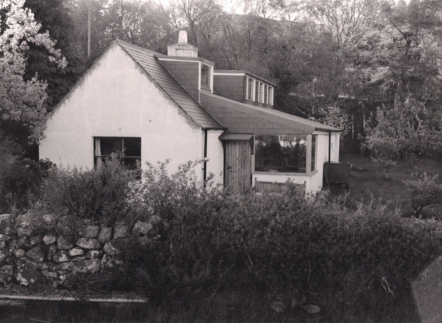
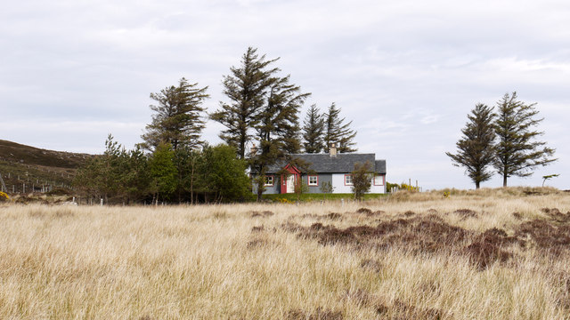
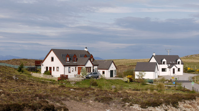
Leac Bhuidhe Images
Images are sourced within 2km of 57.702736/-5.719697 or Grid Reference NG7874. Thanks to Geograph Open Source API. All images are credited.

Leac Bhuidhe is located at Grid Ref: NG7874 (Lat: 57.702736, Lng: -5.719697)
Unitary Authority: Highland
Police Authority: Highlands and Islands
What 3 Words
///directs.sculpture.loaning. Near Gairloch, Highland
Nearby Locations
Related Wikis

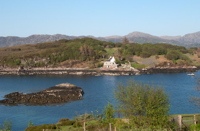
Eilean Horrisdale
Eilean Horrisdale is an uninhabited island in Loch Gairloch in Wester Ross, Scotland. == Geography == Eilean Horrisdale is the largest island in Loch Gairloch...

Badachro
Badachro (Scottish Gaelic: Bad a' Chrò) is a former fishing village, in the northwest Highlands of Scotland. == Geography == Badachro sits about 3 km south...

Broadford Beds Formation
The Broadford Beds Formation is a Sinemurian geologic formation in western Scotland. An indeterminate partial tibia of a theropod dinosaur are among the...

Gair Loch
The Gair Loch is a sea loch on the North West coast of Highland, Scotland. In Scottish Gaelic it is an Geàrr Loch meaning 'the short loch'. Around 6 miles...
An Ard
An Ard (Scottish Gaelic: ) is a collection of small settlements on the A832 road, close to Charlestown, in Gairloch, Ross-shire, on the east shore of Gair...
Port Henderson
Port Henderson (Scottish Gaelic: Portaigil) is a fishing village on the south west shore of the Gair Loch near the village of Gairloch, Ross-shire, Scottish...
Charlestown, Wester Ross
Charlestown is a small hamlet, making up one of the settlements which are collectively called Gairloch, and located directly south of the main village...

Lonemore, Wester Ross
Lonemore (Scottish Gaelic: An Lòn Mòr) is a crofting village on the north shore of Gair Loch near the village of Gairloch, Ross-shire, Scottish Highlands...
Nearby Amenities
Located within 500m of 57.702736,-5.719697Have you been to Leac Bhuidhe?
Leave your review of Leac Bhuidhe below (or comments, questions and feedback).