Sgeir Choigreach

Island in Argyllshire

Scotland

Sgeir Choigreach

Coastal scene by the B8024 Looking south past West Loch Tarbert (the inlet on the left) to the southern part of Kintyre.
Coastal scene by the B8024 Credit: Gordon Brown

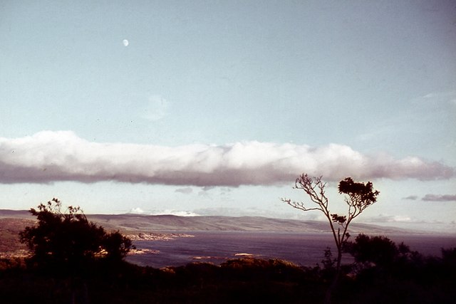
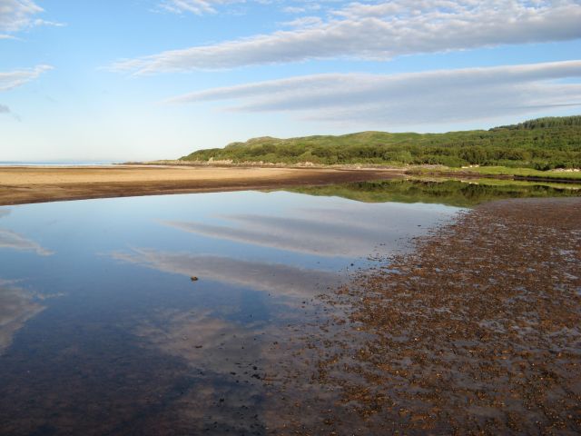
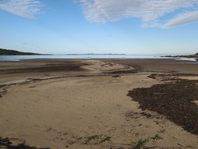
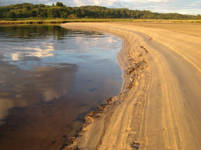
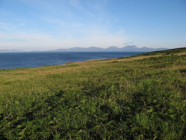
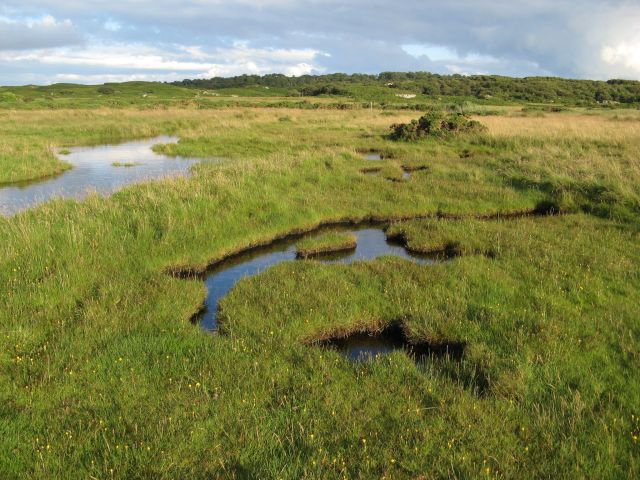
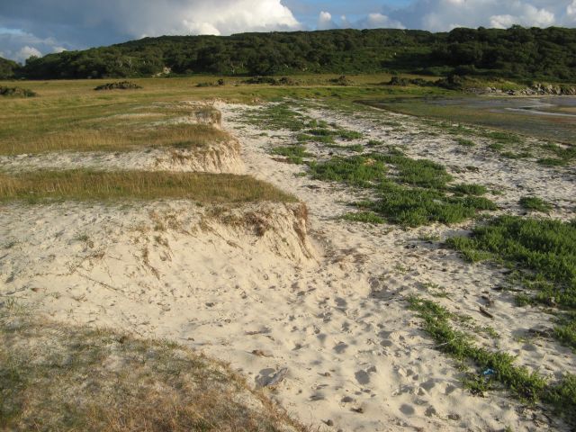
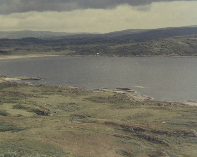
Sgeir Choigreach is a small uninhabited island located off the west coast of Scotland, specifically in Argyllshire. This rocky island is part of the Inner Hebrides archipelago and lies approximately 3 miles northeast of the Isle of Mull. With an area of around 1.5 hectares, Sgeir Choigreach is a relatively small landmass.

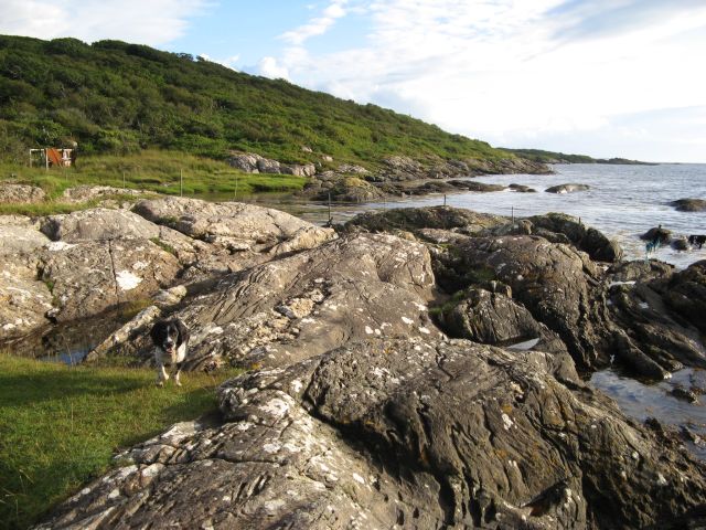
The island is characterized by its rugged and rocky terrain, with steep cliffs rising from the surrounding waters. It is primarily composed of basalt, an igneous rock formed from solidified lava. The island's coastline is indented with numerous sea caves and stacks, adding to its dramatic and picturesque appearance.

Due to its remote location and challenging topography, Sgeir Choigreach is devoid of any permanent human population. However, it serves as an important breeding ground for various seabird species, including guillemots, razorbills, and puffins. These birds take advantage of the island's inaccessible cliffs, using them as nesting sites during the breeding season.

The waters surrounding Sgeir Choigreach are also abundant in marine life, attracting divers and snorkelers who are keen to explore the diverse underwater ecosystem. From colorful fish to kelp forests, the area offers a unique opportunity for underwater enthusiasts to observe and appreciate marine biodiversity.

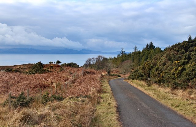
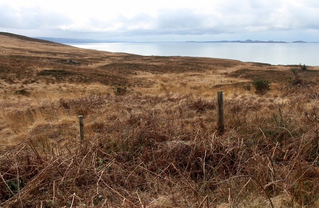
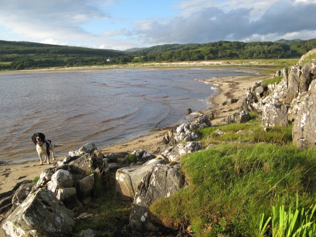
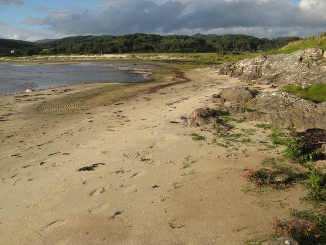
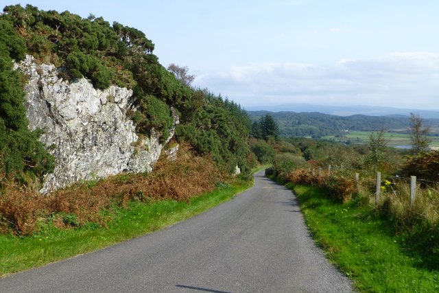
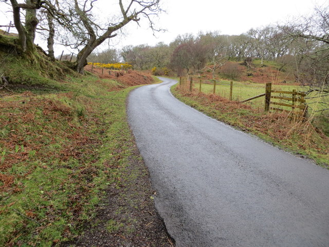
Although access to Sgeir Choigreach is limited, visitors can catch glimpses of the island from boat tours or by taking coastal walks along the nearby shores. Its stark beauty and untouched nature make it a popular attraction for those seeking solitude and a glimpse into the untamed Scottish coastline.

If you have any feedback on the listing, please let us know in the comments section below.

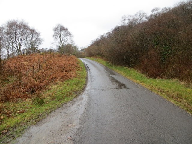
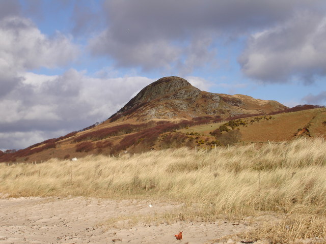
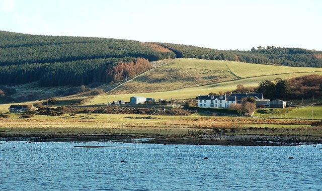
Sgeir Choigreach Images

Images are sourced within 2km of 55.78157/-5.6246581 or Grid Reference NR7260. Thanks to Geograph Open Source API. All images are credited.

Coastal scene by the B8024 Looking south past West Loch Tarbert (the inlet on the left) to the southern part of Kintyre.
Coastal scene by the B8024
Looking south past West Loch Tarbert (the inlet on the left) to the southern part of Kintyre.
Kintyre Peninsula The evening sun on the west coast of the Kintyre peninsula.  Taken from the B8024 near Creag Stars.
Kintyre Peninsula
The evening sun on the west coast of the Kintyre peninsula. Taken from the B8024 near Creag Stars.
The road to Kilberry climbs Bruach nan Clach-muillin
Islay comes into view from the B8024
Moorland above Rubha Cruitiridh
Morning reflections Reflections in the estuary at the head of Loch Stornoway.
Morning reflections
Reflections in the estuary at the head of Loch Stornoway.
Patterns in sand Accumulations of seaweed accentuate the contours of sand at the high-tide mark. The island of Gigha occupies the horizon.
Patterns in sand
Accumulations of seaweed accentuate the contours of sand at the high-tide mark. The island of Gigha occupies the horizon.
Sand patterns Striations in the sandy bank of the estuary at the head of Loch Stornoway, highlighted in evening sunshine.
Sand patterns
Striations in the sandy bank of the estuary at the head of Loch Stornoway, highlighted in evening sunshine.
Improved grazing A wide meadow spreads out below the road, but above the steep and high relict cliff line. Jura looks magnificent on the morning horizon.
Improved grazing
A wide meadow spreads out below the road, but above the steep and high relict cliff line. Jura looks magnificent on the morning horizon.
Flooded marsh The salt-marsh below Gorten is inundated by an unusually high tide.
Flooded marsh
The salt-marsh below Gorten is inundated by an unusually high tide.
Port Mhic Dhonncha The glacially-sculpted rocks forming the shore by Port Mhic Dhonncha, a little-visited place, possibly because the tin bothy has fallen into disrepair. This shore never failed to produce a sighting of otters playing among the tidal rocks.
Port Mhic Dhonncha
The glacially-sculpted rocks forming the shore by Port Mhic Dhonncha, a little-visited place, possibly because the tin bothy has fallen into disrepair. This shore never failed to produce a sighting of otters playing among the tidal rocks.
Ardminish shore The sandy shore below Ardminish at the head of Loch Stornoway.
Ardminish shore
The sandy shore below Ardminish at the head of Loch Stornoway.
Ardminish shore (2) A view of the sandy end of Loch Stornoway below Ardminish. Although it is swept by rough seas, the tide seldom covers this area.
Ardminish shore (2)
A view of the sandy end of Loch Stornoway below Ardminish. Although it is swept by rough seas, the tide seldom covers this area.
Loch Stornoway dunes A small line of low dunes at the edge of the carse. The habitat is interesting, and coming close to forming a machair.
Loch Stornoway dunes
A small line of low dunes at the edge of the carse. The habitat is interesting, and coming close to forming a machair.
Exposed rock face Beside the B8024
Exposed rock face
Beside the B8024
A view across the foreshore This is one of the better days on this holiday as it was not raining and we were heading for the yellow sandy beach in the distance. The position of the camera point is my best guess after so long as there is not a lot to allow accurate positioning.

Taken on film in 1985.
A view across the foreshore
This is one of the better days on this holiday as it was not raining and we were heading for the yellow sandy beach in the distance. The position of the camera point is my best guess after so long as there is not a lot to allow accurate positioning. Taken on film in 1985.
Road (B8024) near to Bruach nan Clach-Muilinn Looking north-westward.
Road (B8024) near to Bruach nan Clach-Muilinn
Looking north-westward.
Road (B8024) near to Creag Stars Looking south-westward.
Road (B8024) near to Creag Stars
Looking south-westward.
Show me another place!

Sgeir Choigreach is located at Grid Ref: NR7260 (Lat: 55.78157, Lng: -5.6246581)

Unitary Authority: Argyll and Bute

Police Authority: Argyll and West Dunbartonshire

What 3 Words

///closed.grasp.inform. Near Tarbert, Argyll & Bute

Related Wikis

Kilcalmonell

The parish of Kilcalmonell is situated in Argyll and Bute, Scotland. It extends from Clachan, in Kintyre to Kilberry, in Knapdale. == References == W....

Ardpatrick House

Ardpatrick House is a category-B-listed 18th-century country house in Ardpatrick, South Knapdale, Argyll and Bute, Scotland. == History == A fortified...

Ardpatrick, Argyll

Ardpatrick (Scottish Gaelic: Àird Phàdraig) is a village at the southwestern extremity of the Knapdale, Argyll, Scotland. The village is built along the...

Dun Skeig

Dun Skeig is an oval Iron Age dun (fort) complex which is perched atop a rocky outcropping about 40 metres (130 ft) above sea level overlooking West Loch...

Kilberry Castle

Kilberry Castle is a Category B listed country house near Kilberry in South Knapdale in the county of Argyll, in western Scotland on the shores of the...

Kilberry

Kilberry (Scottish Gaelic: Cill Bheiridh) is a village in Argyll and Bute, Scotland. It is close to the western coast of the district of Knapdale. Kilberry...

Loup House

Loup House is a manor house north of Clachan on the Kintyre peninsula of Argyll, Scotland. The estate was once home to the chiefs of Clan MacAlister, and...

Clachan, Kintyre

Clachan is a small village in North Kintyre, Argyll & Bute, Scotland. Clachan is the site of an old church, which was the principal church for the North...

Have you been to Sgeir Choigreach?

Leave your review of Sgeir Choigreach below (or comments, questions and feedback).