Sgeir Bheag

Island in Argyllshire

Scotland

Sgeir Bheag

Sgeir Bun an Locha
Sgeir Bun an Locha Credit: Alpin Stewart

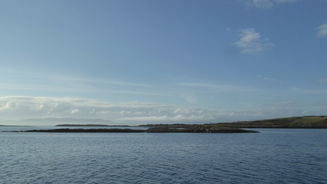
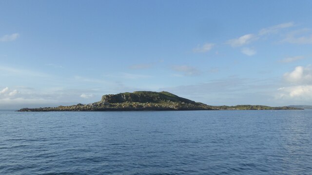
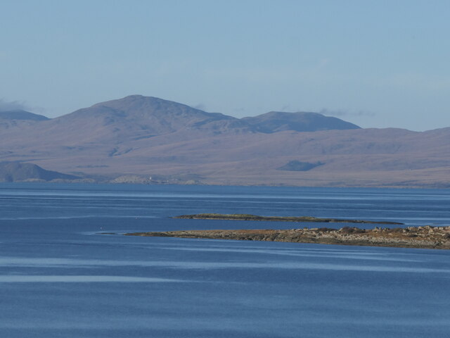
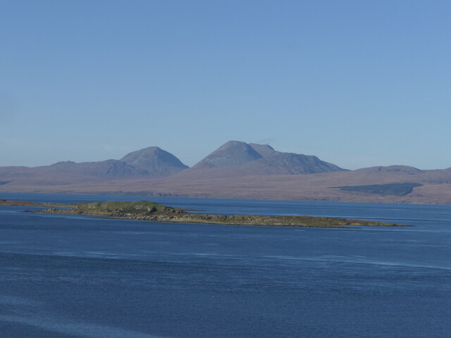
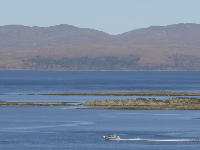
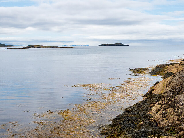
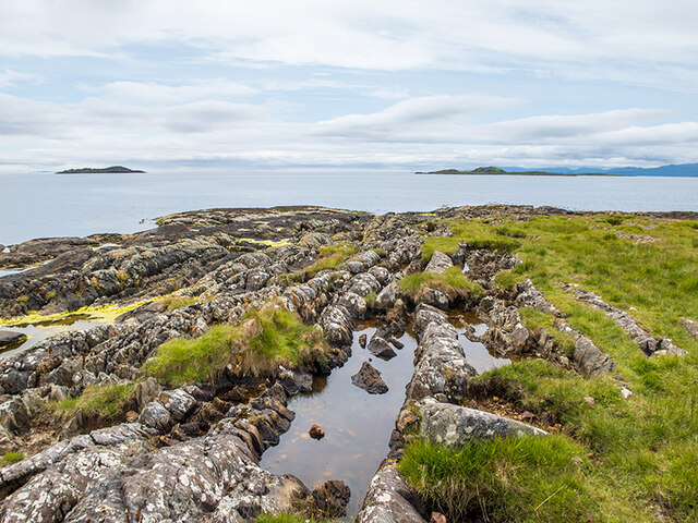
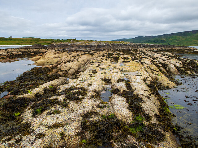
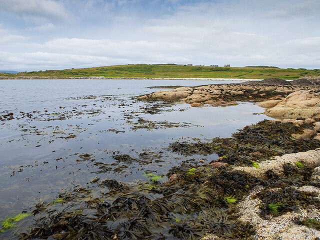
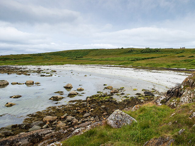
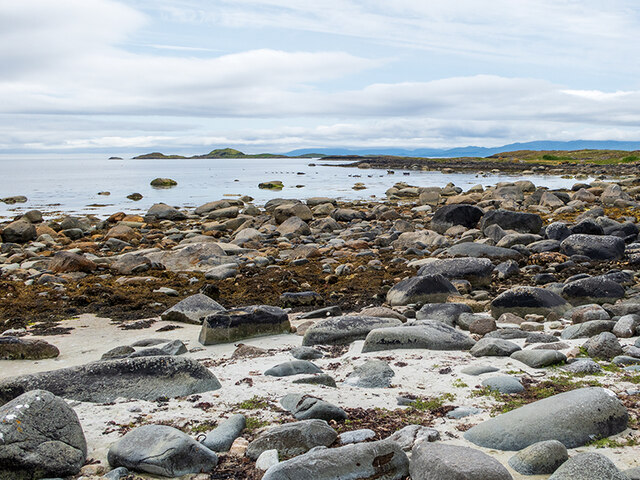
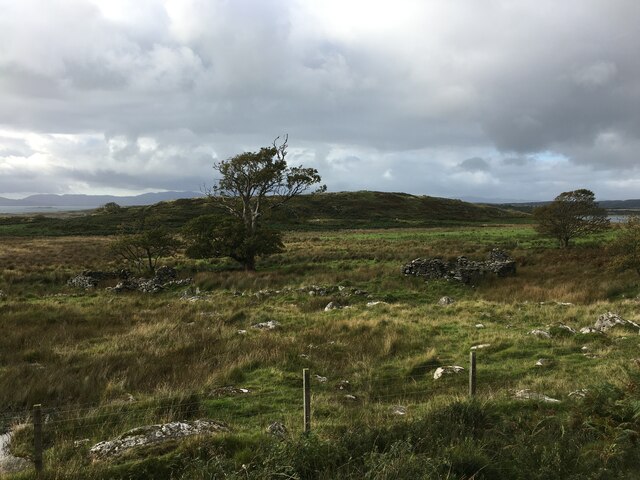
Sgeir Bheag is a small, uninhabited island located off the coast of Argyllshire in Scotland. The island is characterized by its rugged coastline, rocky terrain, and abundance of seabirds nesting on its cliffs. Sgeir Bheag is approximately 8 hectares in size and is only accessible by boat or kayak.

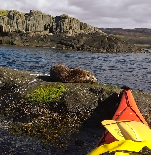
The island is a popular destination for birdwatchers, as it is home to a variety of seabird species, including puffins, guillemots, and razorbills. Visitors to Sgeir Bheag can often spot these birds perched on the cliffs or flying overhead.

In addition to its wildlife, Sgeir Bheag offers stunning views of the surrounding sea and coastline. The island is a peaceful and remote retreat, perfect for those looking to escape the hustle and bustle of everyday life.

Overall, Sgeir Bheag is a picturesque and tranquil island, ideal for nature lovers and outdoor enthusiasts seeking a unique and unspoiled destination in Argyllshire.

If you have any feedback on the listing, please let us know in the comments section below.

Sgeir Bheag Images

Images are sourced within 2km of 55.916335/-5.6911804 or Grid Reference NR6975. Thanks to Geograph Open Source API. All images are credited.

Sgeir Bun an Locha
Sgeir Bun an Locha
Eilean nan Leac
Eilean nan Leac
Corr Eilean
Corr Eilean
Rubha nam Maraich The tip of Danna. The landform of lots of parallel steep sided ridges continues into the sea.
Rubha nam Maraich
The tip of Danna. The landform of lots of parallel steep sided ridges continues into the sea.
Eilean nan Leac Elongated island, continuing the pattern of long steep sided parallel ridges in Knapdale. Parts of Islay in the background were being refracted above the horizon. Knocklayd in Co. Antrim was also visible at the time.
Eilean nan Leac
Elongated island, continuing the pattern of long steep sided parallel ridges in Knapdale. Parts of Islay in the background were being refracted above the horizon. Knocklayd in Co. Antrim was also visible at the time.
Eilean Puirt Lèithe Eilean Puirt Lèithe is a tidal island with the Knapdale elongated ridge form. A parallel ridge forms Eilean nan Leac a bit further out.
Eilean Puirt Lèithe
Eilean Puirt Lèithe is a tidal island with the Knapdale elongated ridge form. A parallel ridge forms Eilean nan Leac a bit further out.
Cormac Isles Corr Eilean and Eilean Glas, a continuation of the Taynish ridge with the Paps of Jura in the background.
Cormac Isles
Corr Eilean and Eilean Glas, a continuation of the Taynish ridge with the Paps of Jura in the background.
Boat leaving Loch Sween Probably bound for Jura (background, beyond the end of Danna).
Boat leaving Loch Sween
Probably bound for Jura (background, beyond the end of Danna).
Otter enjoying the autumn sun The otter was fast asleep on a rock in the gap between Eilean a’Chapuill and Sgeir Dhonncha enjoying the autumn sun.
Otter enjoying the autumn sun
The otter was fast asleep on a rock in the gap between Eilean a’Chapuill and Sgeir Dhonncha enjoying the autumn sun.
Sgeir Bun an Locha Skerries which translate as "The Reef at the Bottom of the Loch".
Sgeir Bun an Locha
Skerries which translate as "The Reef at the Bottom of the Loch".
The soggy end of Rubha nam Maraich Rubha nam Maraich means Headland of the Sailors.
The soggy end of Rubha nam Maraich
Rubha nam Maraich means Headland of the Sailors.
Looking inland from Rubha nam Maraich A very low tide allowed me to get a long way out along the point.
Looking inland from Rubha nam Maraich
A very low tide allowed me to get a long way out along the point.
Rubha nan Caorach from Rubha nam Maraich Rubha nan Caorach is the Headland of the Sheep.
Rubha nan Caorach from Rubha nam Maraich
Rubha nan Caorach is the Headland of the Sheep.
Sandy bay on the Island of Danna
Rocky shoreline on the Island of Danna Rubha nan Caorach, the Headland of the Sheep, is the point to the right of this small bay.
Rocky shoreline on the Island of Danna
Rubha nan Caorach, the Headland of the Sheep, is the point to the right of this small bay.
Ruins near Doide
Ruins near Doide
Minor road near Kilmory
Show me another place!

Sgeir Bheag is located at Grid Ref: NR6975 (Lat: 55.916335, Lng: -5.6911804)

Unitary Authority: Argyll and Bute

Police Authority: Argyll and West Dunbartonshire

What 3 Words

///flood.prevented.energetic. Near Tarbert, Argyll & Bute

Related Wikis

Kilmory Knap Chapel

Kilmory Knap Chapel is a 13th-century Christian chapel, located at the tiny hamlet of Kilmory, in Knapdale, Argyll and Bute, on the west coast of Scotland...

Kilmory, Knapdale

Kilmory (Scottish Gaelic: Cill Mhoire) is a hamlet in the civil parish of South Knapdale, on Knapdale, Argyll and Bute, Scotland. It is situated near the...

Eilean Mòr, MacCormaig Isles

Eilean Mòr ("Big Isle") is one of the MacCormaig Isles situated near the entrance to Loch Sween in the Sound of Jura, Argyll and Bute, Scotland. Eilean...

Island of Danna

The Island of Danna or Danna (Scottish Gaelic: Danna), is an inhabited tidal island in Argyll and Bute. == Geography == It is connected to the mainland...

Have you been to Sgeir Bheag?

Leave your review of Sgeir Bheag below (or comments, questions and feedback).