Sgeirean Àird Ghasraig

Island in Inverness-shire

Scotland

Sgeirean Àird Ghasraig

The Arisaig Hotel Close to the village centre and just across the road from the sea.
The Arisaig Hotel Credit: Gordon Hatton

Sgeirean Àird Ghasraig is a small island located in Inverness-shire, Scotland. Also known as the Gasker Rocks, it is situated in the Atlantic Ocean, approximately 1.5 miles off the northwest coast of the Isle of Lewis. The island is a part of the Outer Hebrides archipelago.

The island of Sgeirean Àird Ghasraig is uninhabited and is known for its rugged and rocky terrain. It is a small island, measuring around 1.5 hectares in size. The landscape is characterized by steep cliffs and jagged rocks, which are home to various seabird colonies, including guillemots, razorbills, and puffins. The island is recognized as an important breeding ground for these species.

Access to Sgeirean Àird Ghasraig is challenging due to its remote location and treacherous waters. The island can be reached by boat, but caution is required as the waters surrounding it are known for strong currents and unpredictable weather conditions.

The island holds historical significance, as it is believed to have been used as a hunting ground during the Neolithic period. Archaeological evidence suggests that ancient tools and artifacts have been found on the island, indicating human activity in the past.

Overall, Sgeirean Àird Ghasraig is an intriguing and picturesque island, offering a glimpse into the wild and untamed beauty of the Outer Hebrides. Its rugged cliffs, abundant birdlife, and historical significance make it a fascinating destination for nature enthusiasts and history buffs alike.

If you have any feedback on the listing, please let us know in the comments section below.

Sgeirean Àird Ghasraig Images

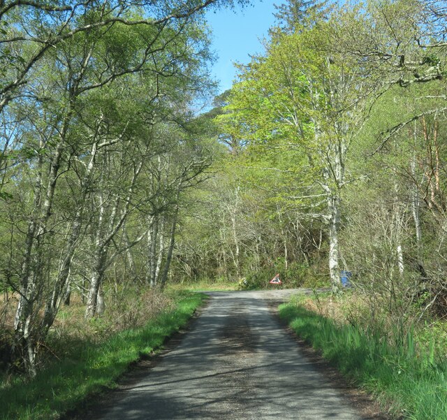
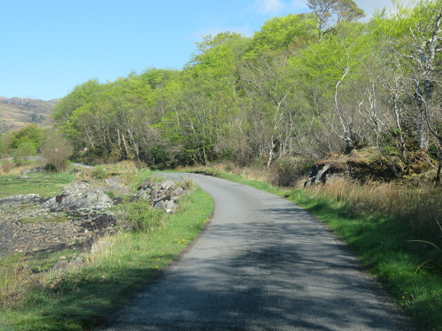
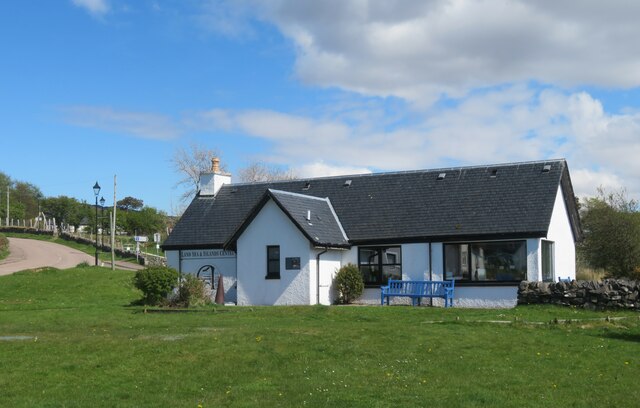
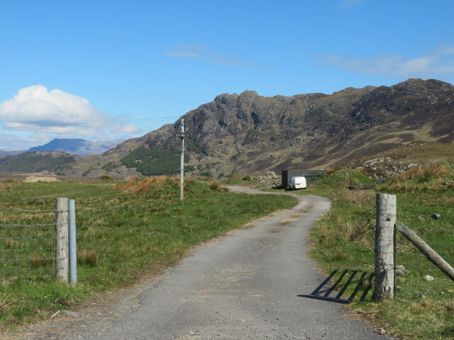
Images are sourced within 2km of 56.904463/-5.8640976 or Grid Reference NM6485. Thanks to Geograph Open Source API. All images are credited.
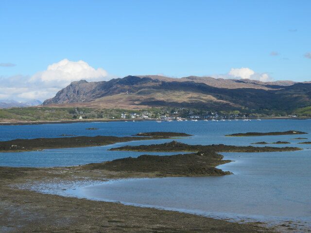
The Arisaig Hotel Close to the village centre and just across the road from the sea.
The Arisaig Hotel
Close to the village centre and just across the road from the sea.
Yachts at Arisaig I'm no yachtsman, but it strikes me that a degree of expertise is needed to navigate through the many rocky shoals and islets just off the coast here.
Yachts at Arisaig
I'm no yachtsman, but it strikes me that a degree of expertise is needed to navigate through the many rocky shoals and islets just off the coast here.
Woodland strip by the Rhue road Looking east along the road with a strip of woodland taking advantage of a little shelter from Atlantic gales.
Woodland strip by the Rhue road
Looking east along the road with a strip of woodland taking advantage of a little shelter from Atlantic gales.
Loch nan Ceall from the Rhue Road A view across Loch nan Ceall from near the road to Rhue.
Loch nan Ceall from the Rhue Road
A view across Loch nan Ceall from near the road to Rhue.
Loch nan Ceall shoreline A view across this sea loch towards Arisaig and the hills beyond.
Loch nan Ceall shoreline
A view across this sea loch towards Arisaig and the hills beyond.
Across Loch nan Ceall Looking west of north across skerries and islets towards the distant mountains on Skye where the main Cuillin range is near the photo centre with Blaven off to the right.
Across Loch nan Ceall
Looking west of north across skerries and islets towards the distant mountains on Skye where the main Cuillin range is near the photo centre with Blaven off to the right.
Lone tree by the shoreline The small inlet here is called Saideil Tòrr a' Bheithe, which according to a well known translation website is something to do with 'birch torrid satellites,' and I'm pretty confident that only the 'birch' part of that translation makes any sense. Houses at Arisaig can just be spotted in the distance.
Lone tree by the shoreline
The small inlet here is called Saideil Tòrr a' Bheithe, which according to a well known translation website is something to do with 'birch torrid satellites,' and I'm pretty confident that only the 'birch' part of that translation makes any sense. Houses at Arisaig can just be spotted in the distance.
The Rhue road towards Arisaig Unless one is prepared to either wander down to the shore or head off to the right into the boggy ground, then the minor road from Rhue towards Arisaig is the obvious subject for this square.
The Rhue road towards Arisaig
Unless one is prepared to either wander down to the shore or head off to the right into the boggy ground, then the minor road from Rhue towards Arisaig is the obvious subject for this square.
Shoreline at Acherault Looking towards Arisaig with the wooded Morroch Point [shaded] in the middle distance.
Shoreline at Acherault
Looking towards Arisaig with the wooded Morroch Point [shaded] in the middle distance.
Road through woodland The road from Rhue to Arisaig, about a mile short of that village.
Road through woodland
The road from Rhue to Arisaig, about a mile short of that village.
Rhue road near Arisaig A popular photo subject, simply because there's just 70m or so of this road cutting a corner of the grid square.
Rhue road near Arisaig
A popular photo subject, simply because there's just 70m or so of this road cutting a corner of the grid square.
Land, Sea and Island Centre, Arisaig Heritage and information centre at Arisaig.
Land, Sea and Island Centre, Arisaig
Heritage and information centre at Arisaig.
Farm road, Achraig The road doesn't appear to go anywhere in particular, but there is a good view towards the craggy slopes of Creag Mhor.
Farm road, Achraig
The road doesn't appear to go anywhere in particular, but there is a good view towards the craggy slopes of Creag Mhor.
Post Office and shop at Arisaig/Arasaig In the village on the B8008, which would have been the main Fort William-Mallaig road until it was bypassed.
Post Office and shop at Arisaig/Arasaig
In the village on the B8008, which would have been the main Fort William-Mallaig road until it was bypassed.
Loch nan Ceall Taking a trip from Arisaig to Eigg
Loch nan Ceall
Taking a trip from Arisaig to Eigg
In Loch nan Ceall Heading for Eigg
In Loch nan Ceall
Heading for Eigg
In Loch nan Ceall Heading for Eigg
In Loch nan Ceall
Heading for Eigg
Looking towards Morroch Point
Show me another place!

Sgeirean Àird Ghasraig is located at Grid Ref: NM6485 (Lat: 56.904463, Lng: -5.8640976)

Unitary Authority: Highland

Police Authority: Highlands and Islands

What 3 Words

///fast.qualifier.lifeboats. Near Arisaig, Highland

Related Wikis

Arisaig

Arisaig (Scottish Gaelic: Àrasaig) is a village in Lochaber, Inverness-shire. It lies 7 miles (11 kilometres) south of Mallaig on the west coast of the...

Rhu Peninsula

Rhu Peninsula (Scottish Gaelic: Rudha Arasaig) and originally known as the Rhu Arisaig peninsula is a small, remote and largely deserted peninsula, at...

Arisaig railway station

Arisaig railway station serves the village of Arisaig on the west coast of the Highland region of Scotland. This station is on the West Highland Line,...

Back of Keppoch

Back of Keppoch (Gaelic: Cùl na Ceapaich) is a small coastal settlement in the northwest Scottish Highlands, 40 miles (65 kilometres) west of Fort William...

Nearby Amenities

Located within 500m of 56.904463,-5.8640976
Source: PGS
Lat/Long: 56.9086059/-5.8664663
Source: PGS
Lat/Long: 56.9081467/-5.8663245
Source: PGS
Lat/Long: 56.9080126/-5.86623
Source: PGS
Lat/Long: 56.9079249/-5.8651055
Source: PGS
Lat/Long: 56.9088226/-5.864926
Created By: dmgroom_coastlines
Source: PGS
Lat/Long: 56.908543/-5.862732
Created By: dmgroom_coastlines
Source: PGS
Lat/Long: 56.90842/-5.862488
Created By: dmgroom_coastlines
Source: PGS
Lat/Long: 56.908431/-5.86202
Created By: dmgroom_coastlines
Source: PGS
Lat/Long: 56.908565/-5.861797
The data included in this document is from www.openstreetmap.org. The data is made available under ODbL.

Have you been to Sgeirean Àird Ghasraig?

Leave your review of Sgeirean Àird Ghasraig below (or comments, questions and feedback).