Sgeirean Buidhe

Island in Inverness-shire

Scotland

Sgeirean Buidhe

Yachts at Arisaig I'm no yachtsman, but it strikes me that a degree of expertise is needed to navigate through the many rocky shoals and islets just off the coast here.
Yachts at Arisaig Credit: Gordon Hatton

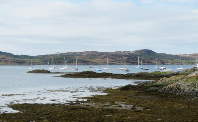
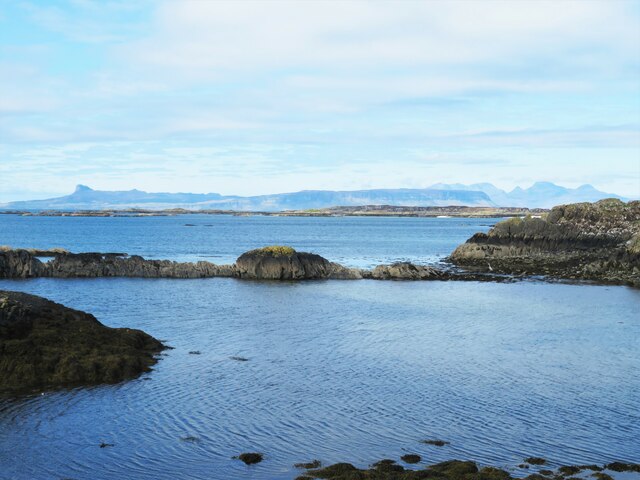
Sgeirean Buidhe is a small island located in Inverness-shire, Scotland. Situated in the Inner Hebrides, it lies off the west coast of the mainland and is part of the Inner Sound archipelago. The name "Sgeirean Buidhe" translates to "yellow skerries" in Scottish Gaelic, referring to the rocky islets that surround the island.

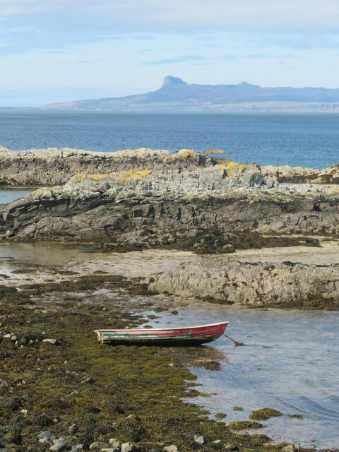
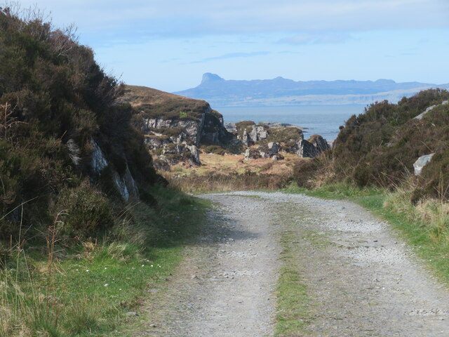
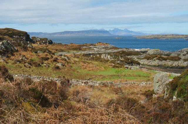
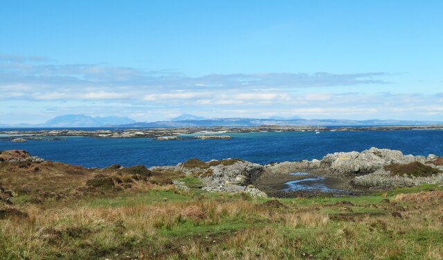
Covering an area of approximately 2.5 hectares, Sgeirean Buidhe is a rugged and uninhabited island, primarily composed of rocky outcrops and low-lying vegetation. It is known for its stunning natural beauty, with picturesque views of the surrounding coastline, clear blue waters, and abundant wildlife.

The island is a popular destination for birdwatchers, as it serves as a nesting site for various seabirds, including guillemots, razorbills, and puffins. The surrounding waters also provide a habitat for seals and dolphins, making it an ideal spot for wildlife enthusiasts.

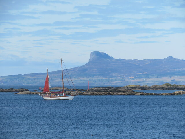
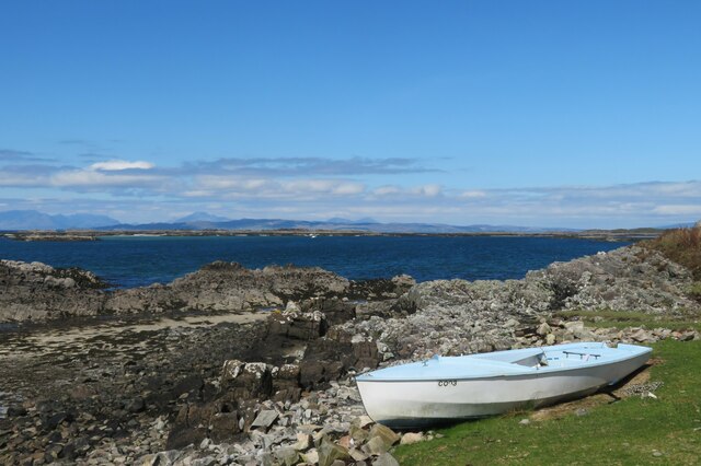
Access to Sgeirean Buidhe is mainly by boat, with several local tour operators offering trips to the island. Due to its small size and lack of facilities, visitors are advised to bring their own food, water, and appropriate outdoor gear.

Sgeirean Buidhe offers a tranquil and secluded retreat for those seeking to escape the hustle and bustle of city life. Its rugged landscape and rich biodiversity make it a must-visit destination for nature lovers and outdoor enthusiasts exploring Inverness-shire and the Inner Hebrides.

If you have any feedback on the listing, please let us know in the comments section below.

Sgeirean Buidhe Images

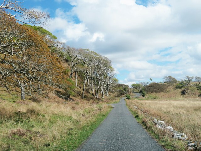
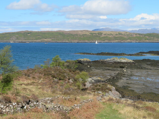
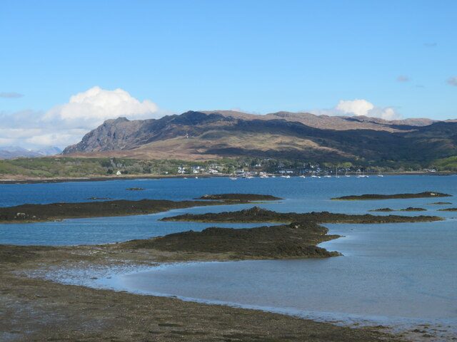
Images are sourced within 2km of 56.901618/-5.8763745 or Grid Reference NM6485. Thanks to Geograph Open Source API. All images are credited.
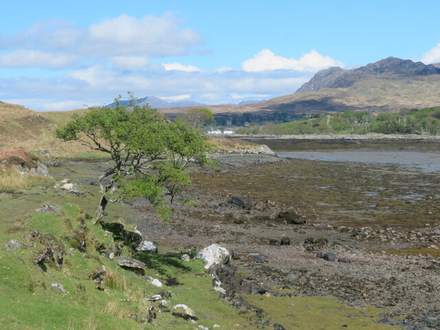
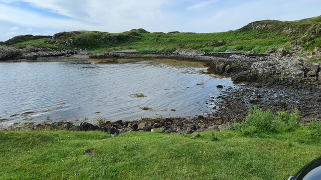
Yachts at Arisaig I'm no yachtsman, but it strikes me that a degree of expertise is needed to navigate through the many rocky shoals and islets just off the coast here.
Yachts at Arisaig
I'm no yachtsman, but it strikes me that a degree of expertise is needed to navigate through the many rocky shoals and islets just off the coast here.
Tidal pool near the end of the road to Rhue Looking out towards the various reefs and islets that fringe the South Channel entrance to Loch nan Ceall. Eigg fills much of the distant scene with the mountains of Rum to the right.
Tidal pool near the end of the road to Rhue
Looking out towards the various reefs and islets that fringe the South Channel entrance to Loch nan Ceall. Eigg fills much of the distant scene with the mountains of Rum to the right.
Passing yacht in the South Channel An idyllic scene with blue skies and sea and with a rather fine traditional yacht passing by between the mainland and rocky skerries. The Sgurr on Eigg is prominent in the distance.
Passing yacht in the South Channel
An idyllic scene with blue skies and sea and with a rather fine traditional yacht passing by between the mainland and rocky skerries. The Sgurr on Eigg is prominent in the distance.
Boat by the shore A view taken from the end of the public road looking out towards Eigg.
Boat by the shore
A view taken from the end of the public road looking out towards Eigg.
The road to Rhue Private road/track to Rhue House & cottage. The Sgurr on Eigg in the distance.
The road to Rhue
Private road/track to Rhue House & cottage. The Sgurr on Eigg in the distance.
Coastal view on the way to Rhue Old walls and signs of former cultivation here, but now reverting to bracken and heather ground. In the distance is the north end of Eigg with the mountains of Rum beyond.
Coastal view on the way to Rhue
Old walls and signs of former cultivation here, but now reverting to bracken and heather ground. In the distance is the north end of Eigg with the mountains of Rum beyond.
West Highland seascape A coastal view from the Rhue track looking out over the South Channel towards the maze of skerries and tiny islands towards distant Skye where old favourites can be seen. The main Cuillin range to the left, Blaven in the centre and the Red Hills to the right.
West Highland seascape
A coastal view from the Rhue track looking out over the South Channel towards the maze of skerries and tiny islands towards distant Skye where old favourites can be seen. The main Cuillin range to the left, Blaven in the centre and the Red Hills to the right.
Boat by the shore Sitting above the high tide line below the track to Rhue. The mountains on Skye on the horizon.
Boat by the shore
Sitting above the high tide line below the track to Rhue. The mountains on Skye on the horizon.
Woodland strip by the Rhue road Looking east along the road with a strip of woodland taking advantage of a little shelter from Atlantic gales.
Woodland strip by the Rhue road
Looking east along the road with a strip of woodland taking advantage of a little shelter from Atlantic gales.
Loch nan Ceall from the Rhue Road A view across Loch nan Ceall from near the road to Rhue.
Loch nan Ceall from the Rhue Road
A view across Loch nan Ceall from near the road to Rhue.
Loch nan Ceall shoreline A view across this sea loch towards Arisaig and the hills beyond.
Loch nan Ceall shoreline
A view across this sea loch towards Arisaig and the hills beyond.
Across Loch nan Ceall Looking west of north across skerries and islets towards the distant mountains on Skye where the main Cuillin range is near the photo centre with Blaven off to the right.
Across Loch nan Ceall
Looking west of north across skerries and islets towards the distant mountains on Skye where the main Cuillin range is near the photo centre with Blaven off to the right.
Lone tree by the shoreline The small inlet here is called Saideil Tòrr a' Bheithe, which according to a well known translation website is something to do with 'birch torrid satellites,' and I'm pretty confident that only the 'birch' part of that translation makes any sense. Houses at Arisaig can just be spotted in the distance.
Lone tree by the shoreline
The small inlet here is called Saideil Tòrr a' Bheithe, which according to a well known translation website is something to do with 'birch torrid satellites,' and I'm pretty confident that only the 'birch' part of that translation makes any sense. Houses at Arisaig can just be spotted in the distance.
The Rhue road towards Arisaig Unless one is prepared to either wander down to the shore or head off to the right into the boggy ground, then the minor road from Rhue towards Arisaig is the obvious subject for this square.
The Rhue road towards Arisaig
Unless one is prepared to either wander down to the shore or head off to the right into the boggy ground, then the minor road from Rhue towards Arisaig is the obvious subject for this square.
Shoreline at Acherault Looking towards Arisaig with the wooded Morroch Point [shaded] in the middle distance.
Shoreline at Acherault
Looking towards Arisaig with the wooded Morroch Point [shaded] in the middle distance.
Road through woodland The road from Rhue to Arisaig, about a mile short of that village.
Road through woodland
The road from Rhue to Arisaig, about a mile short of that village.
Boats on shore by memorial, Sound of Arisaig
Bay off South Channel Sound of Arisaig
Bay off South Channel
Sound of Arisaig
Show me another place!

Sgeirean Buidhe is located at Grid Ref: NM6485 (Lat: 56.901618, Lng: -5.8763745)

Unitary Authority: Highland

Police Authority: Highlands and Islands

What 3 Words

///scuba.rich.suspends. Near Arisaig, Highland

Related Wikis

Rhu Peninsula

Rhu Peninsula (Scottish Gaelic: Rudha Arasaig) and originally known as the Rhu Arisaig peninsula is a small, remote and largely deserted peninsula, at...

Arisaig

Arisaig (Scottish Gaelic: Àrasaig) is a village in Lochaber, Inverness-shire. It lies 7 miles (11 kilometres) south of Mallaig on the west coast of the...

Eilean Ighe

Eilean Ighe is a small tidal island near Arisaig in the Inner Hebrides of Scotland. The area is popular for sea kayaking and a challenge for larger boats...

Arisaig railway station

Arisaig railway station serves the village of Arisaig on the west coast of the Highland region of Scotland. This station is on the West Highland Line,...

Nearby Amenities

Located within 500m of 56.901618,-5.8763745
Created By: dmgroom_coastlines
Source: PGS
Lat/Long: 56.899544/-5.869766
Created By: dmgroom_coastlines
Source: PGS
Lat/Long: 56.899651/-5.870711
Source: PGS
Lat/Long: 56.8997635/-5.8713485
Source: PGS
Lat/Long: 56.8995872/-5.8724752
Created By: dmgroom_coastlines
Source: PGS
Lat/Long: 56.899458/-5.873505
Created By: dmgroom_coastlines
Source: PGS
Lat/Long: 56.899447/-5.873972
Created By: dmgroom_coastlines
Source: PGS
Lat/Long: 56.899425/-5.874907
Created By: dmgroom_coastlines
Source: PGS
Lat/Long: 56.899415/-5.875374
Source: PGS
Lat/Long: 56.8992706/-5.8768284
Created By: dmgroom_coastlines
Source: PGS
Lat/Long: 56.89918/-5.880037
Created By: dmgroom_coastlines
Source: PGS
Lat/Long: 56.900197/-5.880351
Created By: dmgroom_coastlines
Source: PGS
Lat/Long: 56.900447/-5.880603
Created By: dmgroom_coastlines
Source: PGS
Lat/Long: 56.90082/-5.8811
Created By: dmgroom_coastlines
Source: PGS
Lat/Long: 56.900937/-5.881577
Created By: dmgroom_coastlines
Source: PGS
Lat/Long: 56.902722/-5.88195
Created By: dmgroom_coastlines
Source: PGS
Lat/Long: 56.903478/-5.882476
Created By: dmgroom_coastlines
Source: PGS
Lat/Long: 56.903723/-5.882963
Barrier: cattle_grid
Source: survey
Lat/Long: 56.8989993/-5.8700398
The data included in this document is from www.openstreetmap.org. The data is made available under ODbL.

Have you been to Sgeirean Buidhe?

Leave your review of Sgeirean Buidhe below (or comments, questions and feedback).