An Clarsach
Island in Argyllshire
Scotland
An Clarsach
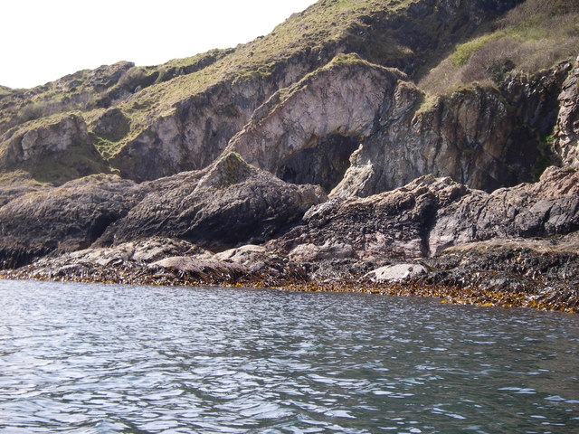
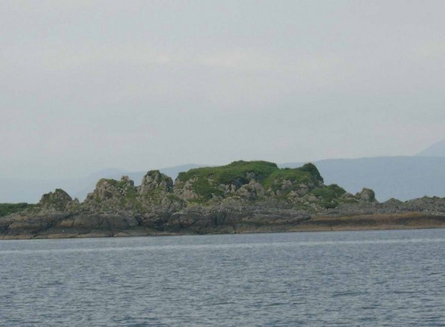
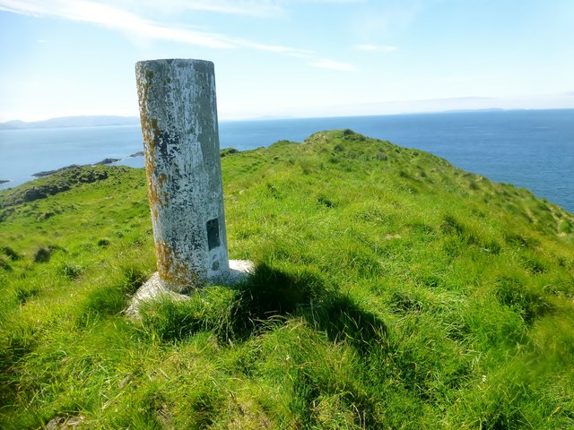
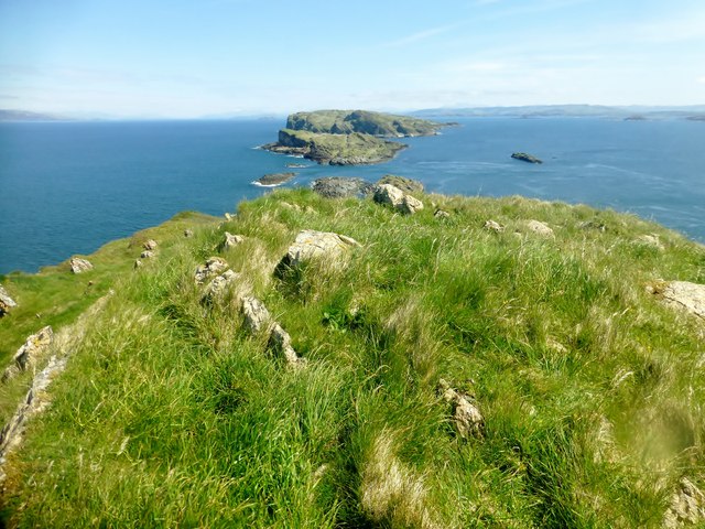
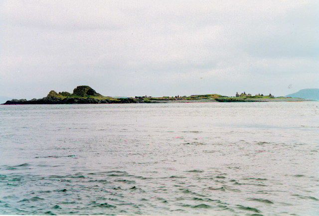
![Eileach an Naoimh The southern end of the southernmost Garvellach Islands. To the right of centre is a small light, which does not seem to be mainstream light, but is maintained as a tourist attraction [!] by the Northern Lighthouse Board.](https://s0.geograph.org.uk/geophotos/06/93/63/6936312_b4a6f209.jpg)
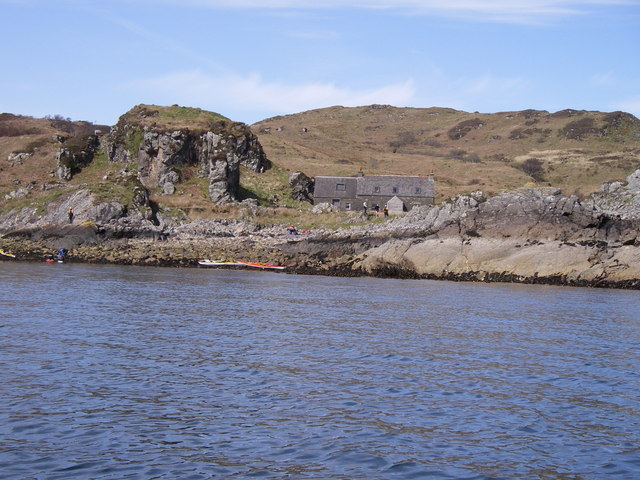
An Clarsach is a small island located in Argyllshire, Scotland. It is situated off the west coast of the mainland, surrounded by the picturesque waters of the Atlantic Ocean. The island is a part of the Inner Hebrides, known for its stunning natural beauty and rich cultural heritage.
Covering an area of approximately 1 square mile, An Clarsach is sparsely populated with a small, tight-knit community. The island offers a serene and peaceful environment, making it an ideal destination for those seeking tranquility and a break from the hustle and bustle of daily life.
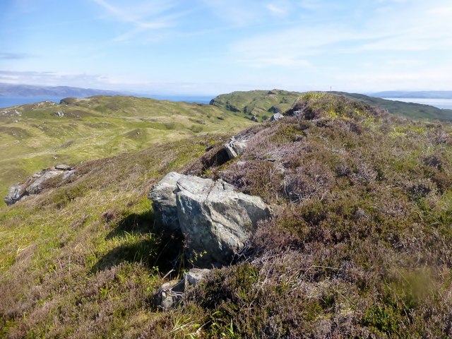
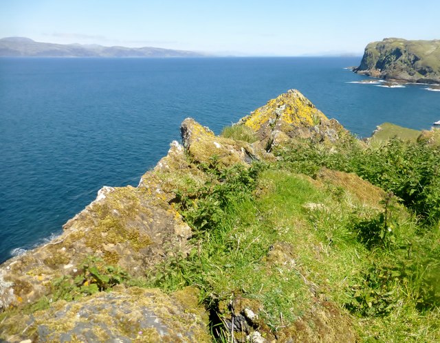
The landscape of An Clarsach is characterized by rolling hills, rugged cliffs, and beautiful sandy beaches. The island is abundant in flora and fauna, with a variety of bird species, grazing sheep, and wildflowers dotting the landscape. Visitors can explore the island on foot, taking in the breathtaking views and immersing themselves in nature.
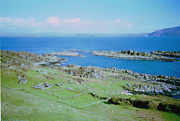
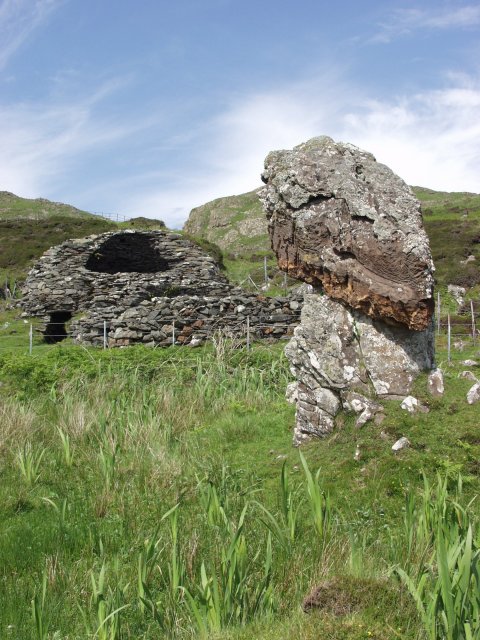
An Clarsach is known for its historical significance, boasting a rich heritage that dates back centuries. The island is home to ancient ruins, including a stone circle and burial sites, providing a glimpse into the lives of its early inhabitants. The local community takes great pride in preserving and celebrating their cultural heritage, with traditional music and dance being an integral part of island life.
Access to An Clarsach is mainly by boat, with regular ferry services connecting the island to the mainland. Visitors can enjoy a range of activities, from hiking and wildlife spotting to fishing and sailing. The island also offers accommodation options, including cozy cottages and bed and breakfasts, allowing visitors to fully immerse themselves in the tranquility and charm of An Clarsach.
If you have any feedback on the listing, please let us know in the comments section below.
An Clarsach Images
Images are sourced within 2km of 56.229009/-5.7974206 or Grid Reference NM6410. Thanks to Geograph Open Source API. All images are credited.
An Clarsach is located at Grid Ref: NM6410 (Lat: 56.229009, Lng: -5.7974206)
Unitary Authority: Argyll and Bute
Police Authority: Argyll and West Dunbartonshire
What 3 Words
///supposed.bulletins.forum. Near Lochbuie, Argyll & Bute
Nearby Locations
Related Wikis

Eileach an Naoimh
Eileach an Naoimh, also known as Holy Isle, is an uninhabited island in the Inner Hebrides of the west coast of Scotland. It is the southernmost of the...

Garvellachs
The Garvellachs (Scottish Gaelic: Garbh Eileaich) or Isles of the Sea form a small archipelago in the Inner Hebrides of Scotland. Part of the Argyll and...
Garbh Eileach
Garbh Eileach is an uninhabited island in the Inner Hebrides of the west coast of Scotland. It is the largest of the Garvellachs and lies in the Firth...
Dùn Chonnuill
Dùn Chonnuill is a small island in the Garvellachs in the Firth of Lorn, Scotland. Dùn Chonnuill lies north east of Garbh Eileach, the largest of the archipelago...

Eilean Dubh Mòr
Eilean Dubh Mòr (Scottish Gaelic: big black island) is an uninhabited island in the Inner Hebrides of Scotland. It lies at the mouth of the Firth of Lorn...
Lunga, Firth of Lorn
Lunga is one of the Slate Islands in the Firth of Lorn in Argyll and Bute, Scotland. The "Grey Dog" tidal race, which runs in the sea channel to the south...

Scarba, Lunga and the Garvellachs National Scenic Area
Scarba, Lunga and the Garvellachs is the name of one of the 40 national scenic areas of Scotland. The designated area covers the islands of Scarba, Lunga...
Belnahua
Belnahua is one of the Slate Islands, in the Firth of Lorn in Scotland, known for its deserted slate quarries. The bedrock that underpins its human history...
Have you been to An Clarsach?
Leave your review of An Clarsach below (or comments, questions and feedback).