Glas Eilean

Island in Argyllshire

Scotland

Glas Eilean

Mingary Castle Hotel by night This 13th-century castle was converted into a hotel just a few years ago.
Mingary Castle Hotel by night Credit: Ian Cunliffe

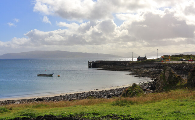
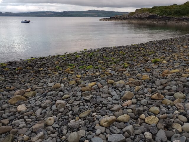
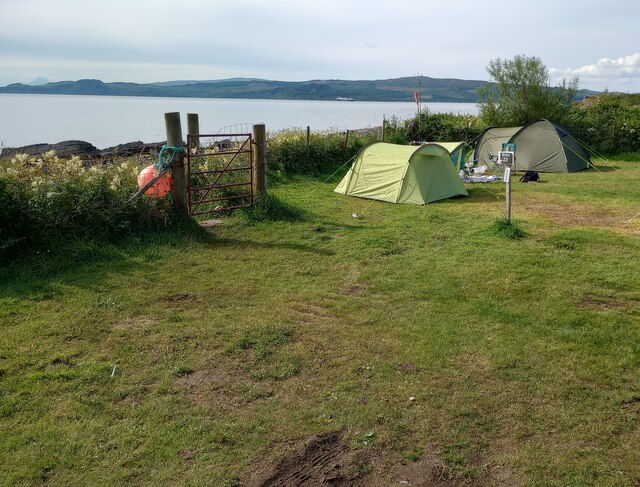
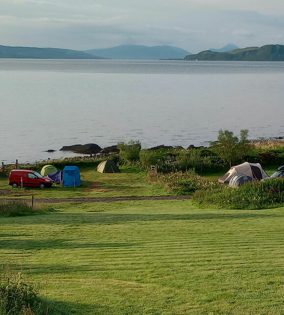
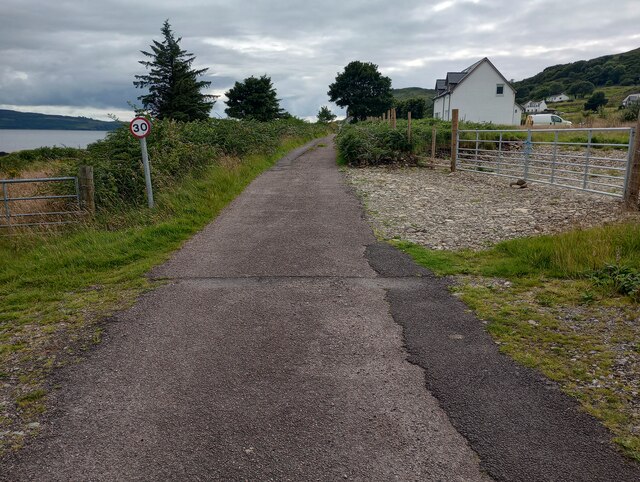
Glas Eilean is a picturesque island located in Argyllshire, Scotland. Situated in the Inner Hebrides, it is surrounded by the crystal-clear waters of Loch Craignish. The island covers an area of approximately 17 acres and is known for its natural beauty and tranquility.

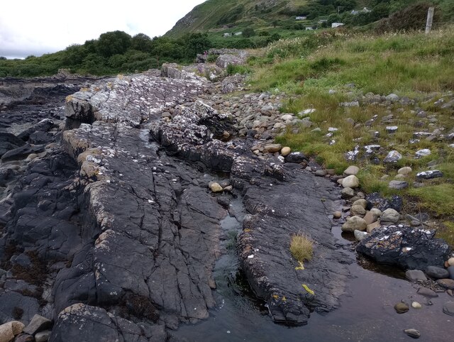
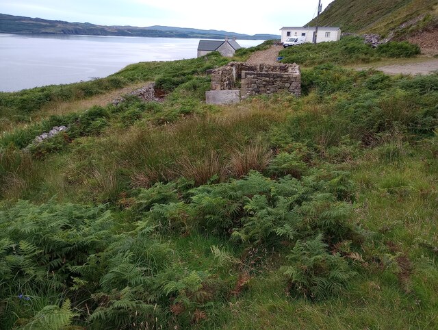
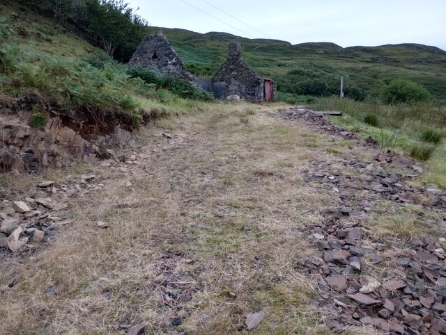
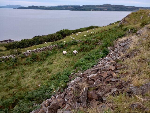
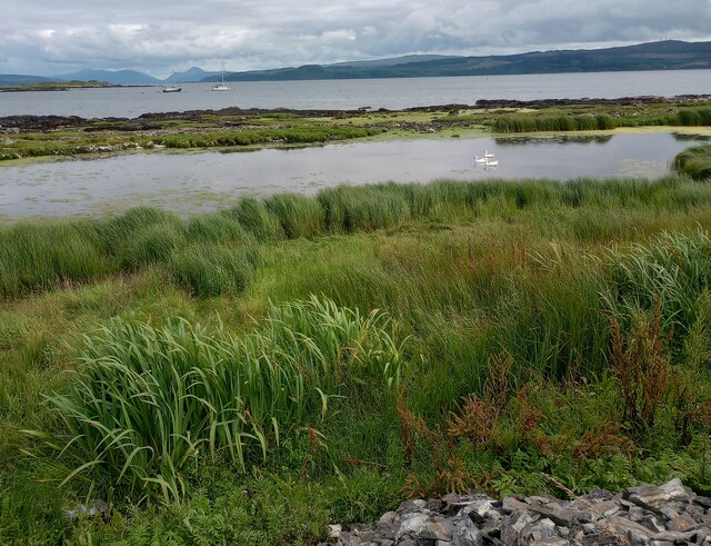
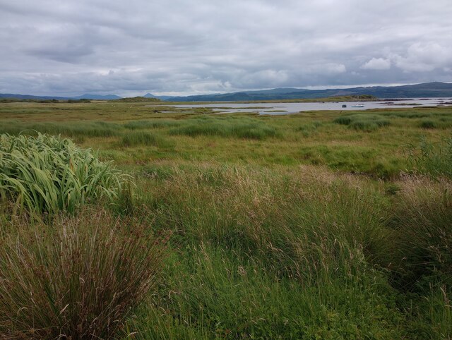
Glas Eilean is predominantly covered in lush green vegetation, with a variety of native plants and trees dotting its landscape. The island's coastline is characterized by rugged cliffs and rocky shores, offering breathtaking views of the surrounding sea and neighboring islands.

The island is a haven for wildlife enthusiasts, as it is home to a diverse range of bird species. Visitors can spot resident and migratory birds, such as shelducks, eiders, and oystercatchers. Seals can also be spotted lounging on the rocky outcrops, adding to the island's charm.

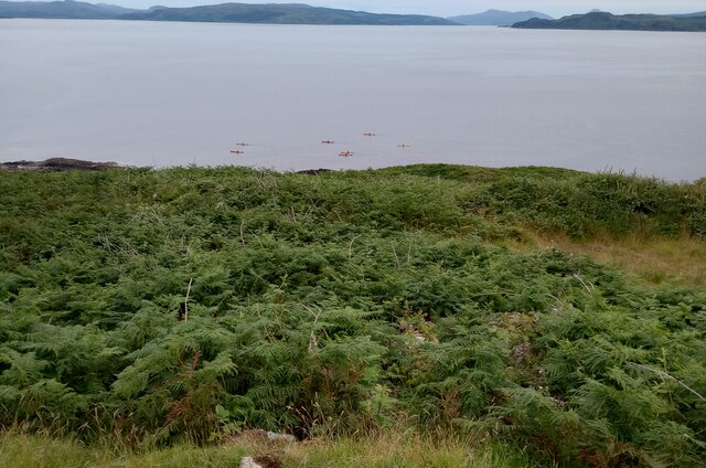
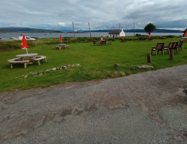
Glas Eilean offers a peaceful retreat for those seeking solitude and relaxation. It is a popular destination for nature lovers, hikers, and photographers. The island provides ample opportunities for outdoor activities, including walking along the scenic trails, picnicking in the open meadows, or simply enjoying the serene atmosphere.

Access to Glas Eilean is typically by private boat or ferry, as it is not connected to the mainland by a bridge. Visitors can enjoy day trips or opt to stay in one of the nearby accommodations on the mainland and explore the island at their leisure.

Overall, Glas Eilean is a hidden gem in Argyllshire, offering stunning natural beauty, abundant wildlife, and a peaceful escape from the hustle and bustle of everyday life.

If you have any feedback on the listing, please let us know in the comments section below.
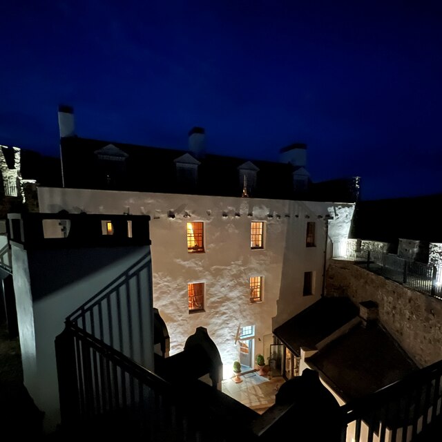
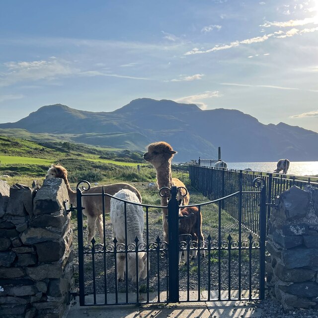
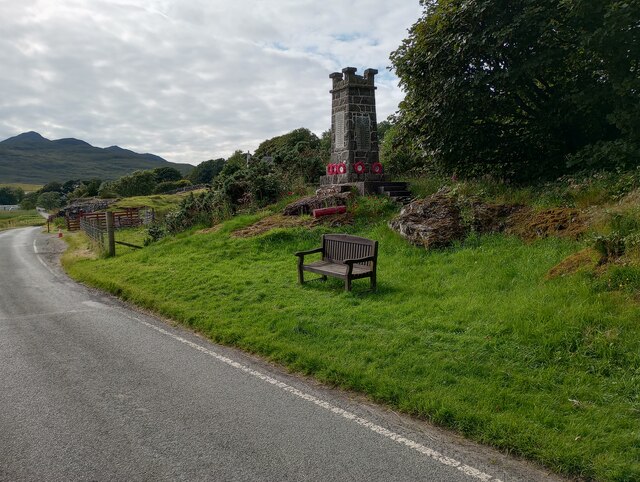
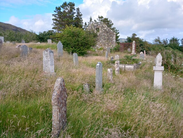
Glas Eilean Images

Images are sourced within 2km of 56.689329/-6.1111351 or Grid Reference NM4862. Thanks to Geograph Open Source API. All images are credited.

Mingary Castle Hotel by night This 13th-century castle was converted into a hotel just a few years ago.
Mingary Castle Hotel by night
This 13th-century castle was converted into a hotel just a few years ago.
Alpacas at Mingary Castle - view to the east
Ardnamurchan Ferry Terminal A view of the Ardnamurchan ferry terminal taken from the beach path opposite.
Ardnamurchan Ferry Terminal
A view of the Ardnamurchan ferry terminal taken from the beach path opposite.
Rocky Shore Small boat moored on calm waters
Rocky Shore
Small boat moored on calm waters
Shoreline pitch Tucked in a corner of Ardnamurchan Campsite
Shoreline pitch
Tucked in a corner of Ardnamurchan Campsite
Shoreline rock outcrop Evidence of fresh water erosion cutting along the surface
Shoreline rock outcrop
Evidence of fresh water erosion cutting along the surface
Open area: Ardnamurchan Campsite With view to Sound of Mull
Open area: Ardnamurchan Campsite
With view to Sound of Mull
At the end of the road Building now roofless: compare with <a href="https://www.geograph.org.uk/photo/3661500">NM4662 : The Last House</a>
At the end of the road
Building now roofless: compare with NM4662 : The Last House
Ruin at Ormsaigbeag Possible development opportunity
Ruin at Ormsaigbeag
Possible development opportunity
Sheep at Ormsaigbeag Grazing on steeply sloping land
Sheep at Ormsaigbeag
Grazing on steeply sloping land
Bracken covered hillside With kayakers heading home
Bracken covered hillside
With kayakers heading home
Coastal Pond Salt or fresh water? Map shows it's above mean high tide.
Coastal Pond
Salt or fresh water? Map shows it's above mean high tide.
Single track road Hopefully the 30mph sign is superfluous
Single track road
Hopefully the 30mph sign is superfluous
Tables with a view Across from Ferry Stores
Tables with a view
Across from Ferry Stores
Log store Different stages of drying out and with large caravan for rent
Log store
Different stages of drying out and with large caravan for rent
Salt marshes Looking to Kilchoan Bay with Mull beyond
Salt marshes
Looking to Kilchoan Bay with Mull beyond
Roadside War Memorial First World War on front, Second World War on right
Roadside War Memorial
First World War on front, Second World War on right
Overgrown graveyard At St Comghan's church: see <a href="https://www.geograph.org.uk/photo/2044175">NM4864 : Old Parish Church Graveyard</a>
Overgrown graveyard
At St Comghan's church: see NM4864 : Old Parish Church Graveyard
Show me another place!

Glas Eilean is located at Grid Ref: NM4862 (Lat: 56.689329, Lng: -6.1111351)

Unitary Authority: Highland

Police Authority: Highlands and Islands

What 3 Words

///shine.screen.captions. Near Kilchoan, Highland

Related Wikis

Kilchoan

Kilchoan (Scottish Gaelic: Cille Chòmhain) is a village on the Scottish peninsula of Ardnamurchan, beside the Sound of Mull in Lochaber, Highland. It is...

Mingary Castle

Mingary Castle (Scottish Gaelic: Caisteal Mhìogharraidh), also known as Mingarry Castle, is a castle situated one mile (1.5 kilometres) southeast of the...

Battle of Bloody Bay

The Battle of Bloody Bay, or Blàr Bàgh na Fala in Scottish Gaelic, was a naval battle fought near Tobermory, Scotland. It was fought on the coast of Mull...

Achosnich

Achosnich (Scottish Gaelic: Achadh Osnaich) is a crofting township in Ardnamurchan, Argyle within the Scottish council area of Highland. It is close to...

Achnaha

Achnaha (Scottish Gaelic: Achadh na h-Àtha) is a remote village in Ardnamurchan, Lochaber, in the Scottish council area of Highland. One of the local...

Rubha nan Gall

Rubha nan Gall lighthouse is located north of Tobermory on the Isle of Mull beside the Sound of Mull. The name means "Stranger's Point" in Scottish Gaelic...

Portuairk

Portuairk (Scottish Gaelic: Port Uairce) is a crofting township, at the western end of the Ardnamurchan peninsula, Lochaber, Highland, Scotland. It is...

Glengorm Castle

Glengorm Castle, also known as Castle Sorn, is a 19th-century country house on the Isle of Mull, Scotland. Located in Mishnish, 6 kilometres (4 mi) northwest...

Nearby Amenities

Located within 500m of 56.689329,-6.1111351
Created By: dmgroom_coastlines
Source: PGS
Lat/Long: 56.68853/-6.11081
Created By: dmgroom_coastlines
Source: PGS
Lat/Long: 56.68858/-6.11313
Created By: dmgroom_coastlines
Source: PGS
Lat/Long: 56.68871/-6.11335
Created By: dmgroom_coastlines
Source: PGS
Lat/Long: 56.68923/-6.11355
Created By: dmgroom_coastlines
Source: PGS
Lat/Long: 56.68935/-6.11307
Created By: dmgroom_coastlines
Source: PGS
Lat/Long: 56.68959/-6.11259
Created By: dmgroom_coastlines
Source: PGS
Lat/Long: 56.68983/-6.11164
Created By: dmgroom_coastlines
Source: PGS
Lat/Long: 56.69006/-6.11069
Created By: dmgroom_coastlines
Source: PGS
Lat/Long: 56.69017/-6.10975
Created By: dmgroom_coastlines
Source: PGS
Lat/Long: 56.68991/-6.10954
Created By: dmgroom_coastlines
Source: PGS
Lat/Long: 56.68913/-6.10936
Created By: dmgroom_coastlines
Source: PGS
Lat/Long: 56.68915/-6.10983
Created By: dmgroom_coastlines
Source: PGS
Lat/Long: 56.68889/-6.10985
Created By: dmgroom_coastlines
Source: PGS
Lat/Long: 56.68877/-6.11032
Created By: dmgroom_coastlines
Source: PGS
Lat/Long: 56.68865/-6.11057
The data included in this document is from www.openstreetmap.org. The data is made available under ODbL.

Have you been to Glas Eilean?

Leave your review of Glas Eilean below (or comments, questions and feedback).