Sgeir Lach
Island in Argyllshire
Scotland
Sgeir Lach
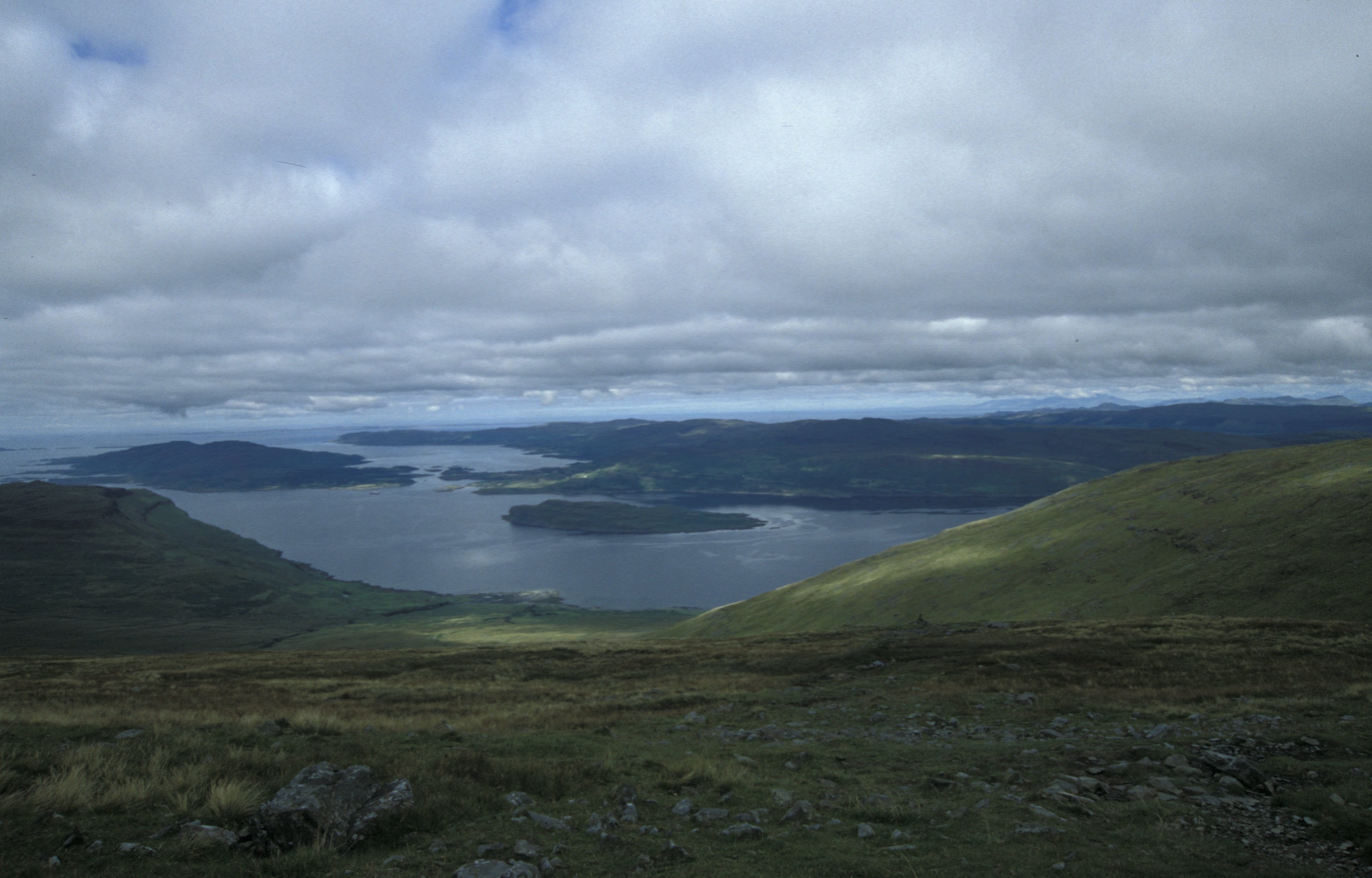
Sgeir Lach is a small uninhabited island located off the west coast of Scotland in Argyllshire. It is part of the Inner Hebrides archipelago and lies approximately 10 kilometers southwest of the Isle of Mull. The island is situated in the Sound of Mull, a narrow channel that separates Mull from the mainland.
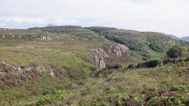
Sgeir Lach covers a total area of around 12 hectares and is predominantly rocky and rugged, with steep cliffs rising from the surrounding sea. The island is characterized by its unique geological formations, including basalt columns that have been eroded by the relentless waves over time.
The wildlife on Sgeir Lach is diverse and abundant. The island is home to a variety of seabirds, including puffins, guillemots, and razorbills, which flock to its cliffs and use the island as a breeding site during the summer months. Seals can often be seen basking on the rocky shores, while dolphins and porpoises occasionally visit the surrounding waters.
Due to its remote location and lack of amenities, Sgeir Lach is not accessible to the general public. However, it is a popular destination for birdwatchers and nature enthusiasts who can admire the island's natural beauty from boat tours or viewpoints on Mull. The island's isolation and untouched landscape make it a haven for wildlife and a place of tranquility in the midst of the powerful Atlantic Ocean.
If you have any feedback on the listing, please let us know in the comments section below.
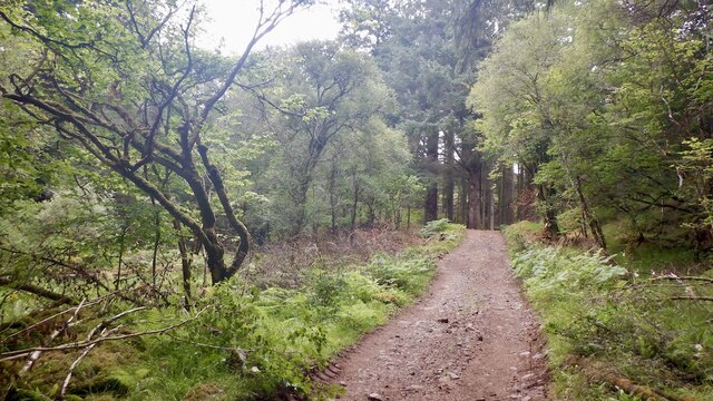
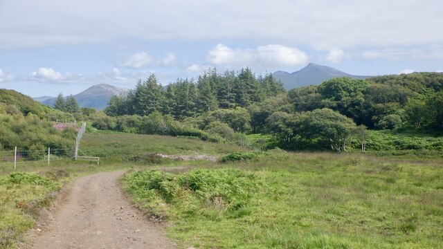
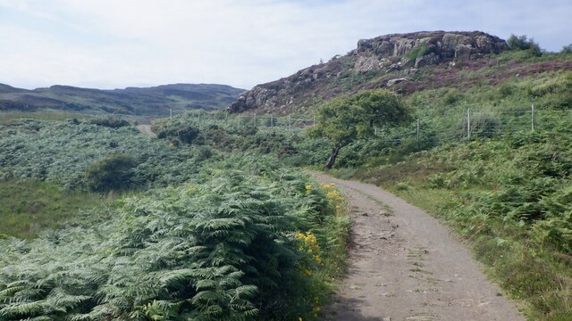
Sgeir Lach Images
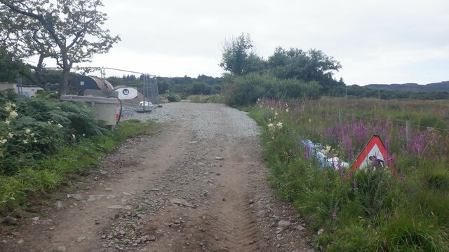
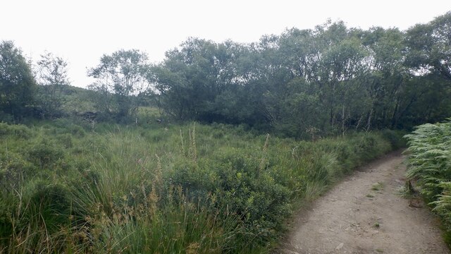
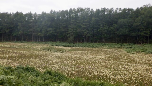
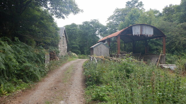
Images are sourced within 2km of 56.477986/-6.1494705 or Grid Reference NM4439. Thanks to Geograph Open Source API. All images are credited.


Sgeir Lach is located at Grid Ref: NM4439 (Lat: 56.477986, Lng: -6.1494705)
Unitary Authority: Argyll and Bute
Police Authority: Argyll and West Dunbartonshire
What 3 Words
///formally.birdcage.physical. Near Dervaig, Argyll & Bute
Related Wikis

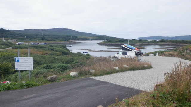
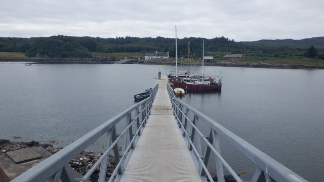
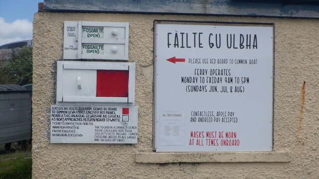
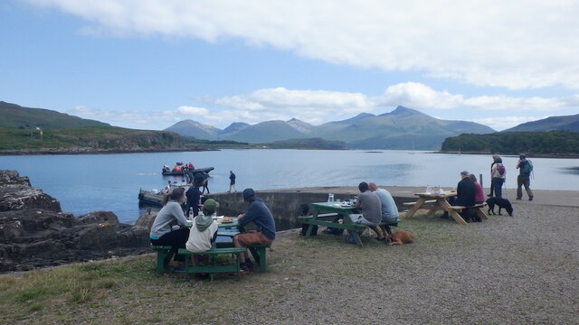
Ulva Ferry
Ulva Ferry (Scottish Gaelic: Caolas Ulbha) is a hamlet on the Hebridean island of Mull, on its west coast. Ulva Ferry is on the shore of Ulva Sound (Caolas...

Samalan Island
Samalan Island is a small island, just off the Isle of Mull at the mouth of Loch na Keal in the Inner Hebrides, Scotland. To its south west is the island...

Ulva
Ulva (; Scottish Gaelic: Ulbha) is a small island in the Inner Hebrides of Scotland, off the west coast of Mull. It is separated from Mull by a narrow...

Loch Tuath
Loch Tuath (Scottish Gaelic: Loch-a-Tuath) is a sea loch in the Inner Hebrides, Scotland that separates the Isle of Mull and the island of Ulva. Loch Tuath...

Eorsa
Eorsa is an uninhabited island in the Inner Hebrides of Scotland. == Geography == Eorsa lies in Loch na Keal on the west coast of the Isle of Mull, to...

St Kenneth's Chapel
St. Kenneth's Chapel is a ruined chapel on Inch Kenneth Island, Parish of Kilfinichen and Kilvickeon, Isle of Mull, Argyll and Bute, Scotland. It dates...

Inch Kenneth
Inch Kenneth (Scottish Gaelic: Innis Choinnich) is a small grassy island off the west coast of the Isle of Mull, in Scotland. It is at the entrance of...
Loch na Keal
Loch na Keal (Scottish Gaelic: Loch na Caol), meaning Loch of the Kyle, or Narrows, also Loch of the Cliffs, is the principal sea loch on the western,...
Nearby Amenities
Located within 500m of 56.477986,-6.1494705Have you been to Sgeir Lach?
Leave your review of Sgeir Lach below (or comments, questions and feedback).