Àird na Caillich
Coastal Feature, Headland, Point in Argyllshire
Scotland
Àird na Caillich
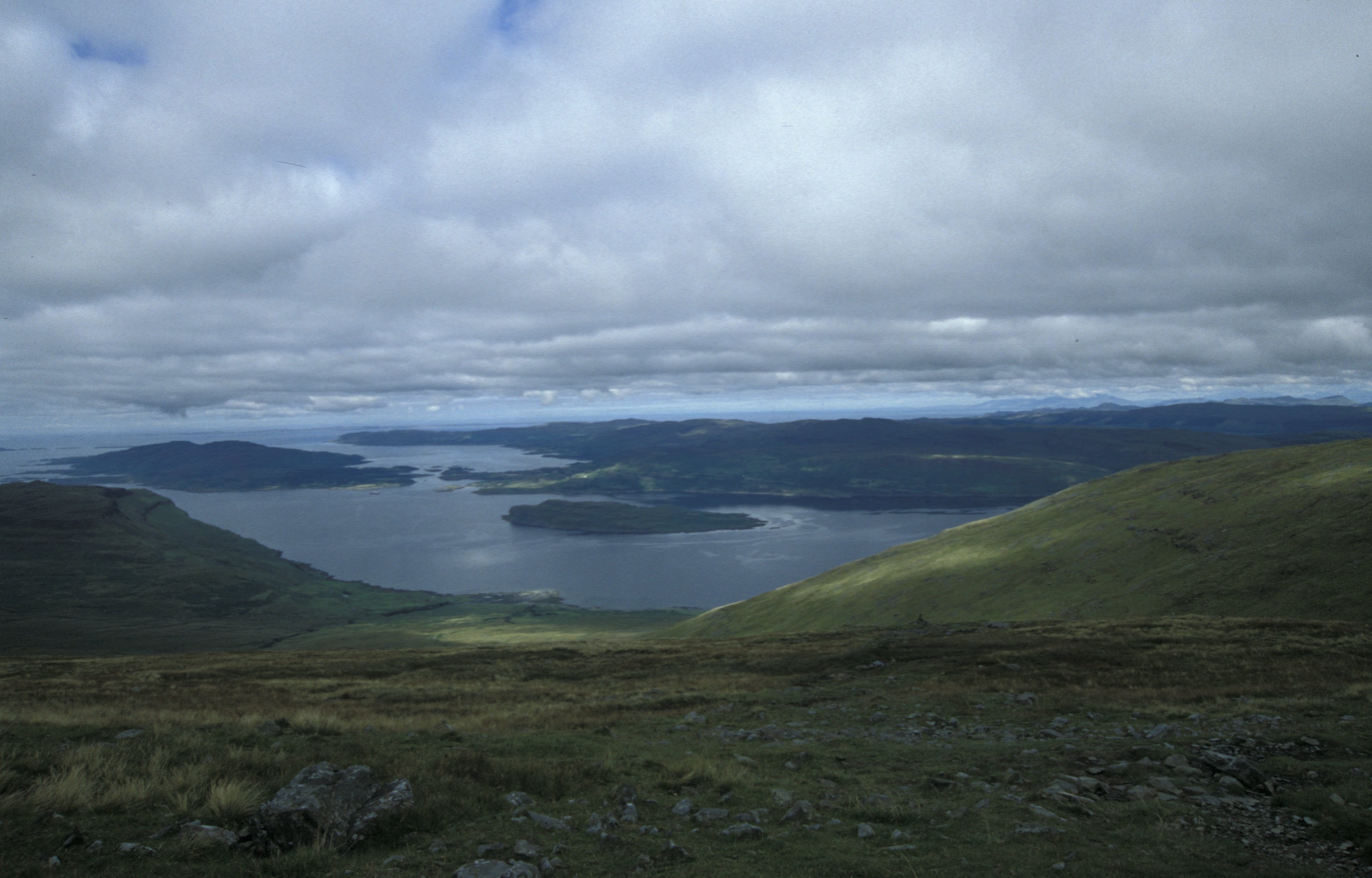
Àird na Caillich is a prominent headland located in Argyllshire, Scotland. Situated on the western coast, it is known for its breathtaking natural beauty and rugged coastal landscape. The name Àird na Caillich translates to "Headland of the Old Woman" in Scottish Gaelic, which reflects the folklore associated with the area.
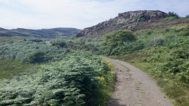
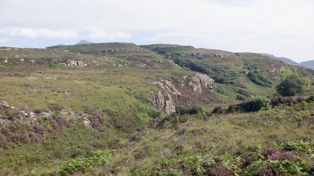
The headland is characterized by steep cliffs that drop dramatically into the azure waters of the Atlantic Ocean. These cliffs are composed of ancient rock formations, providing a glimpse into the geological history of the region. The jagged coastline is dotted with sea caves and rock arches, which are popular with adventurers and photographers alike.
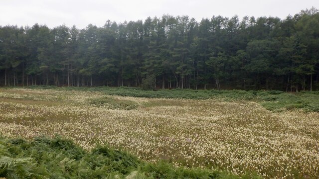
Flora and fauna thrive in this coastal habitat, creating a diverse ecosystem. Seabirds such as puffins, gannets, and guillemots nest on the cliffs, while seals can often be spotted basking on the rocks below. The surrounding waters are home to a variety of marine life, including dolphins, porpoises, and occasionally even whales.
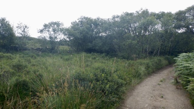
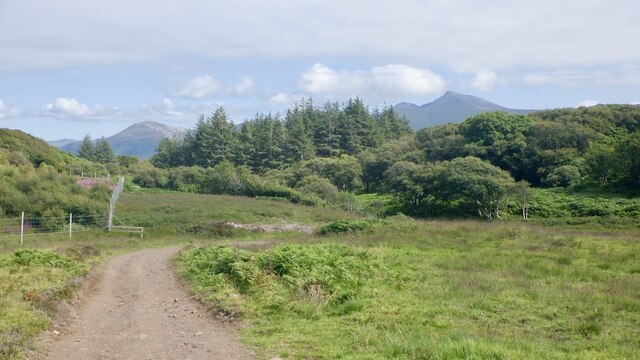
Àird na Caillich attracts outdoor enthusiasts, nature lovers, and hikers who are drawn to its picturesque vistas and scenic walking trails. The headland offers stunning panoramic views of the surrounding coastline, with the Isle of Skye visible on clear days.
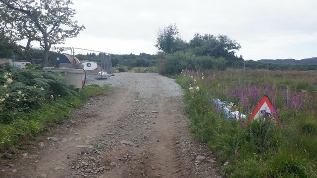
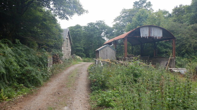
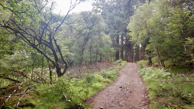
Visitors can access Àird na Caillich by following a narrow road that winds its way through the rugged countryside. There are also designated parking areas and footpaths for those who wish to explore the headland on foot. Overall, Àird na Caillich is a captivating coastal feature that showcases the natural beauty and rich biodiversity of Argyllshire.
If you have any feedback on the listing, please let us know in the comments section below.
Àird na Caillich Images
Images are sourced within 2km of 56.477214/-6.1453884 or Grid Reference NM4439. Thanks to Geograph Open Source API. All images are credited.


Àird na Caillich is located at Grid Ref: NM4439 (Lat: 56.477214, Lng: -6.1453884)
Unitary Authority: Argyll and Bute
Police Authority: Argyll and West Dunbartonshire
What 3 Words
///crawled.activates.mystery. Near Dervaig, Argyll & Bute
Related Wikis

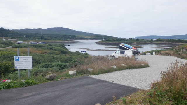
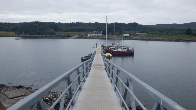
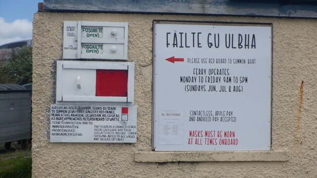
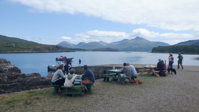
Ulva Ferry
Ulva Ferry (Scottish Gaelic: Caolas Ulbha) is a hamlet on the Hebridean island of Mull, on its west coast. Ulva Ferry is on the shore of Ulva Sound (Caolas...

Samalan Island
Samalan Island is a small island, just off the Isle of Mull at the mouth of Loch na Keal in the Inner Hebrides, Scotland. To its south west is the island...

Ulva
Ulva (; Scottish Gaelic: Ulbha) is a small island in the Inner Hebrides of Scotland, off the west coast of Mull. It is separated from Mull by a narrow...

Eorsa
Eorsa is an uninhabited island in the Inner Hebrides of Scotland. == Geography == Eorsa lies in Loch na Keal on the west coast of the Isle of Mull, to...
Loch na Keal
Loch na Keal (Scottish Gaelic: Loch na Caol), meaning Loch of the Kyle, or Narrows, also Loch of the Cliffs, is the principal sea loch on the western,...

St Kenneth's Chapel
St. Kenneth's Chapel is a ruined chapel on Inch Kenneth Island, Parish of Kilfinichen and Kilvickeon, Isle of Mull, Argyll and Bute, Scotland. It dates...

Inch Kenneth
Inch Kenneth (Scottish Gaelic: Innis Choinnich) is a small grassy island off the west coast of the Isle of Mull, in Scotland. It is at the entrance of...

Loch Tuath
Loch Tuath (Scottish Gaelic: Loch-a-Tuath) is a sea loch in the Inner Hebrides, Scotland that separates the Isle of Mull and the island of Ulva. Loch Tuath...
Nearby Amenities
Located within 500m of 56.477214,-6.1453884Have you been to Àird na Caillich?
Leave your review of Àird na Caillich below (or comments, questions and feedback).