Sgeir nam Faoileann

Island in Argyllshire

Scotland

Sgeir nam Faoileann

The summit of Beinn Oronsay A substantial and well-built cairn for a hill only 93m high.  But Oronsay is a popular island to visit. It is tidal, and can be easily walked to from Colonsay except near low tide. There are the ruins of an Augustinian priory nearby. And the hill is low, and an easy walk!

Just left of the cairn is Beinn Eibhne on the mainland of Colonsay.
The summit of Beinn Oronsay Credit: Michael Earnshaw

Sgeir nam Faoileann, also known as the Skerry of Seals, is a small uninhabited island located in Argyllshire, Scotland. Situated in the Inner Hebrides, it lies approximately 3 miles northwest of the Isle of Mull and 1 mile south of the Treshnish Isles.

The island is known for its abundance of seals, which is reflected in its name, as "Sgeir nam Faoileann" translates to "Skerry of Seals" in Gaelic. The rocky islet provides an ideal breeding ground and haul-out site for common and grey seals. Visitors to the island often witness large numbers of these marine mammals sunbathing on the rocks or swimming in the surrounding waters.

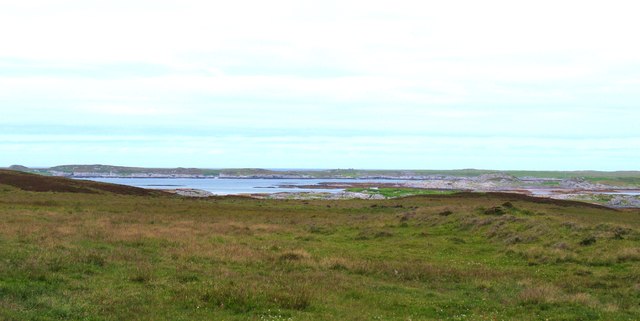
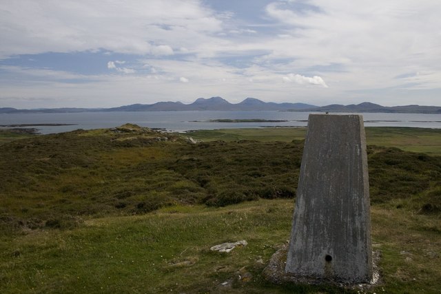
Sgeir nam Faoileann is a relatively small island, measuring about 250 meters in length and 100 meters in width. It is predominantly composed of rugged and rocky terrain, with sparse vegetation covering its surface. The island's cliffs and rocky outcrops provide nesting sites for various seabirds, including gulls, guillemots, and razorbills.

Access to Sgeir nam Faoileann is limited, as there are no regular ferry services or designated landing spots. However, the island can be observed from boats or during wildlife tours in the area. It is a popular destination for birdwatchers, wildlife enthusiasts, and photographers who are drawn to its natural beauty and the opportunity to observe seals and seabirds in their natural habitat.

Sgeir nam Faoileann is a serene and untouched island, offering a glimpse into the diverse marine wildlife that calls the Inner Hebrides home. It is a testament to the unspoiled beauty of the Scottish coastline and serves as an important sanctuary for seals and seabirds in the area.

If you have any feedback on the listing, please let us know in the comments section below.

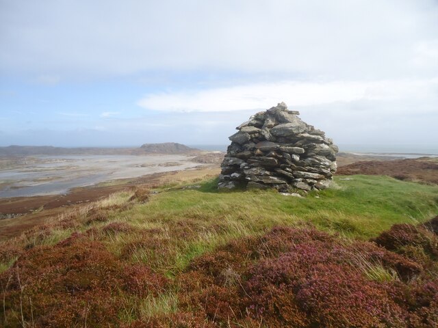
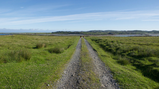
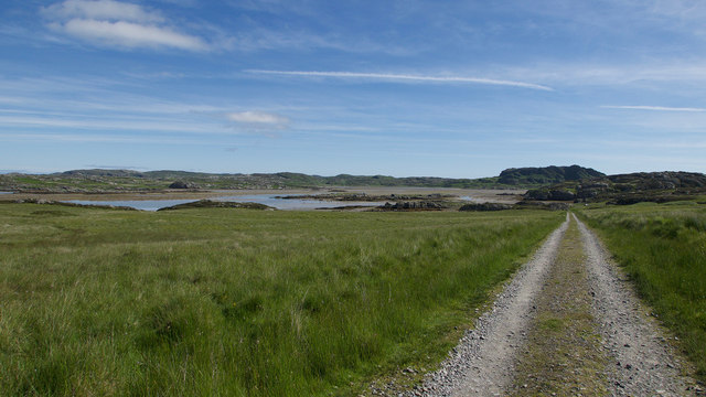
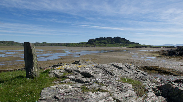
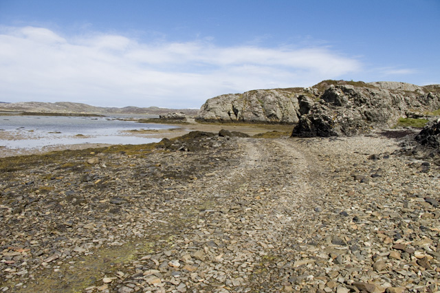
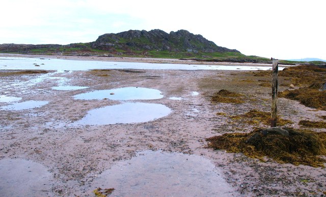
Sgeir nam Faoileann Images

Images are sourced within 2km of 56.039608/-6.2506729 or Grid Reference NR3591. Thanks to Geograph Open Source API. All images are credited.
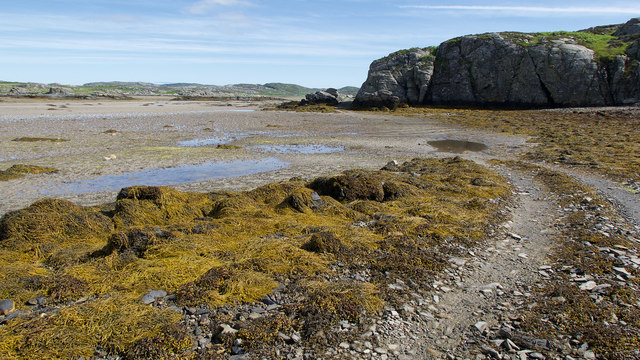
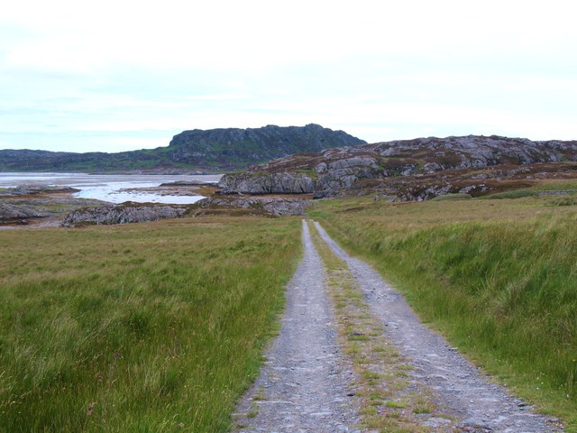
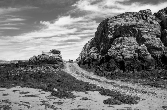
The summit of Beinn Oronsay A substantial and well-built cairn for a hill only 93m high.  But Oronsay is a popular island to visit. It is tidal, and can be easily walked to from Colonsay except near low tide. There are the ruins of an Augustinian priory nearby. And the hill is low, and an easy walk!

Just left of the cairn is Beinn Eibhne on the mainland of Colonsay.
The summit of Beinn Oronsay
A substantial and well-built cairn for a hill only 93m high. But Oronsay is a popular island to visit. It is tidal, and can be easily walked to from Colonsay except near low tide. There are the ruins of an Augustinian priory nearby. And the hill is low, and an easy walk! Just left of the cairn is Beinn Eibhne on the mainland of Colonsay.
Track to Oronsay Priory An excellent track connects the farmland of Oronsay with the tidal route across the Strand.
Track to Oronsay Priory
An excellent track connects the farmland of Oronsay with the tidal route across the Strand.
Descent to the Strand A straight evenly falling path back to sea level.
Descent to the Strand
A straight evenly falling path back to sea level.
Land Rover track by the Strand, Oronsay Having crossed the Strand, the track hugs the coast before heading inland.
Land Rover track by the Strand, Oronsay
Having crossed the Strand, the track hugs the coast before heading inland.
Landfall markers for the Strand crossing, Oronsay An older standing stone on a prominent hillock and a newer marker at sea level show where the best route for crossing the Strand makes landfall.
Landfall markers for the Strand crossing, Oronsay
An older standing stone on a prominent hillock and a newer marker at sea level show where the best route for crossing the Strand makes landfall.
The Colonsay to Oronsay Road
Tidal road, Oronsay The post on the right acts as a marker for those heading from Colonsay to Oronsay. The photographer couldn't wait for the tide, so paddled across.
Tidal road, Oronsay
The post on the right acts as a marker for those heading from Colonsay to Oronsay. The photographer couldn't wait for the tide, so paddled across.
The Oronsay road Clear track through the seaweed on the Oronsay side of the Strand. Most vehicles [of which there are very few] seem to take the alternative route to the right.
The Oronsay road
Clear track through the seaweed on the Oronsay side of the Strand. Most vehicles [of which there are very few] seem to take the alternative route to the right.
On firm ground Hard surfaced track on Oronsay, looking back towards the tidal sands and Colonsay.
On firm ground
Hard surfaced track on Oronsay, looking back towards the tidal sands and Colonsay.
Oronsay - the north side Rough grassland sloping gently down to the tidal channel separating Oronsay from Colonsay. The Ardkenish peninsula beyond.
Oronsay - the north side
Rough grassland sloping gently down to the tidal channel separating Oronsay from Colonsay. The Ardkenish peninsula beyond.
Trigpoint, Beinn Oronsay Looking across to the Paps of Jura.
Trigpoint, Beinn Oronsay
Looking across to the Paps of Jura.
Leaving The Strand for Oronsay The end of the route over The Strand.  Here it is well marked by vehicle tracks as a wedding procession of cars and tractors have just carried a wedding party across for the ceremony at the Priory ruins.
Leaving The Strand for Oronsay
The end of the route over The Strand. Here it is well marked by vehicle tracks as a wedding procession of cars and tractors have just carried a wedding party across for the ceremony at the Priory ruins.
Marker post for the route across The Strand Approaching Oronsay from The Strand, this is the 'port-hand' marker post for the track onto Oronsay itself;  it has a red refelctor just showing at the top for use at night or in poor visibility.
Marker post for the route across The Strand
Approaching Oronsay from The Strand, this is the 'port-hand' marker post for the track onto Oronsay itself; it has a red refelctor just showing at the top for use at night or in poor visibility.
Seaweed and Rock The road to the Priory
Seaweed and Rock
The road to the Priory
Hebrideans Looking north towards Colonsay
Hebrideans
Looking north towards Colonsay
Old pier on the northern shore of Oronsay This pier appears to be little used these days.
Old pier on the northern shore of Oronsay
This pier appears to be little used these days.
The road to Oronsay Priory
The Strand with incoming tide 5 minutes later and it'd've been swimming, not wading...
The Strand with incoming tide
5 minutes later and it'd've been swimming, not wading...
Show me another place!

Sgeir nam Faoileann is located at Grid Ref: NR3591 (Lat: 56.039608, Lng: -6.2506729)

Unitary Authority: Argyll and Bute

Police Authority: Argyll and West Dunbartonshire

What 3 Words

///speeches.grasp.connected. Near Scalasaig, Argyll & Bute

Related Wikis

Ardskenish

Ardskenish is a hamlet on the island of Colonsay, in the civil parish of Colonsay and Oronsay, in the council area of Argyll and Bute, Scotland. ��2�...

Colonsay Airport

Colonsay Airport (Scottish Gaelic: Port-adhair Colbhasaigh) (IATA: CSA, ICAO: EGEY) is located on the island of Colonsay, Argyll and Bute, Scotland. Located...

Dùn Galláin

Dùn Galláin (English: Fort of the Strangers) is a promontory fort located on the Inner Hebridean island of Colonsay, Scotland. The site is located at grid...

Dùn Cholla

Dùn Cholla is a hill fort located on the Inner Hebridean island of Colonsay, Scotland. The site is located at grid reference NR37759150.According to tradition...

Nearby Amenities

Located within 500m of 56.039608,-6.2506729
The data included in this document is from www.openstreetmap.org. The data is made available under ODbL.

Have you been to Sgeir nam Faoileann?

Leave your review of Sgeir nam Faoileann below (or comments, questions and feedback).